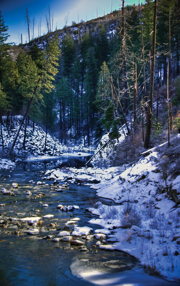
Late Tahoe
Photo by Stacy Lynn Baum
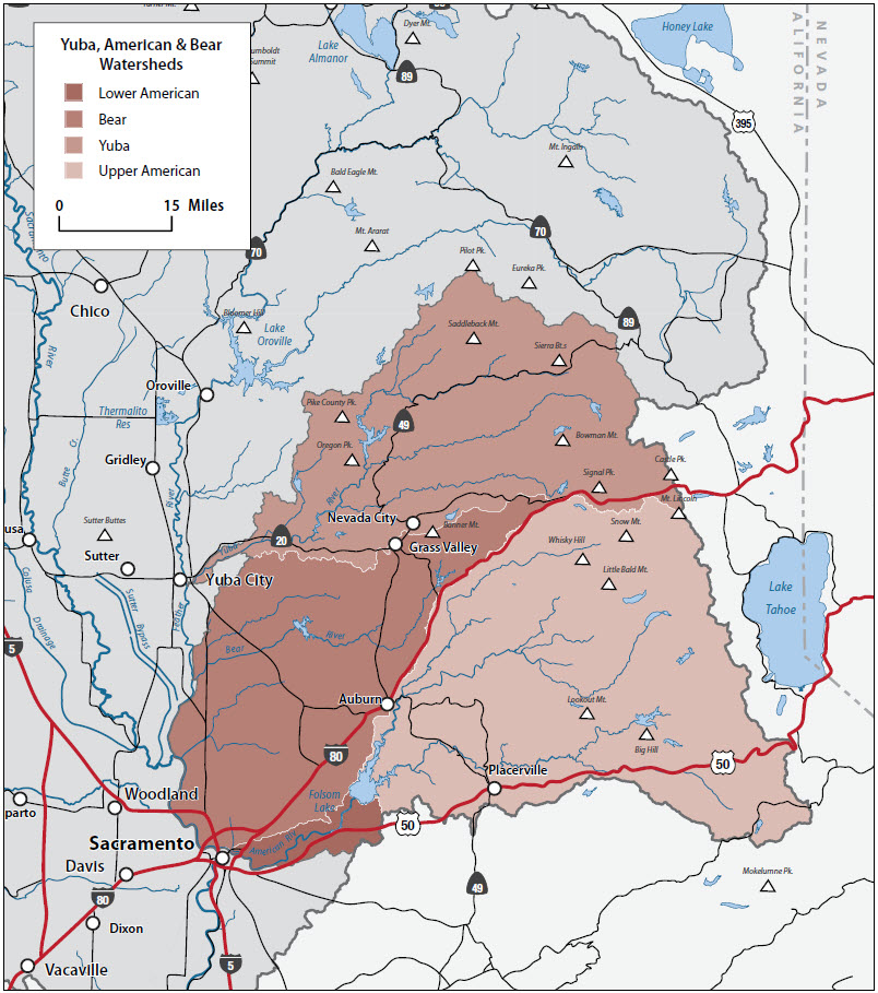
Introduction
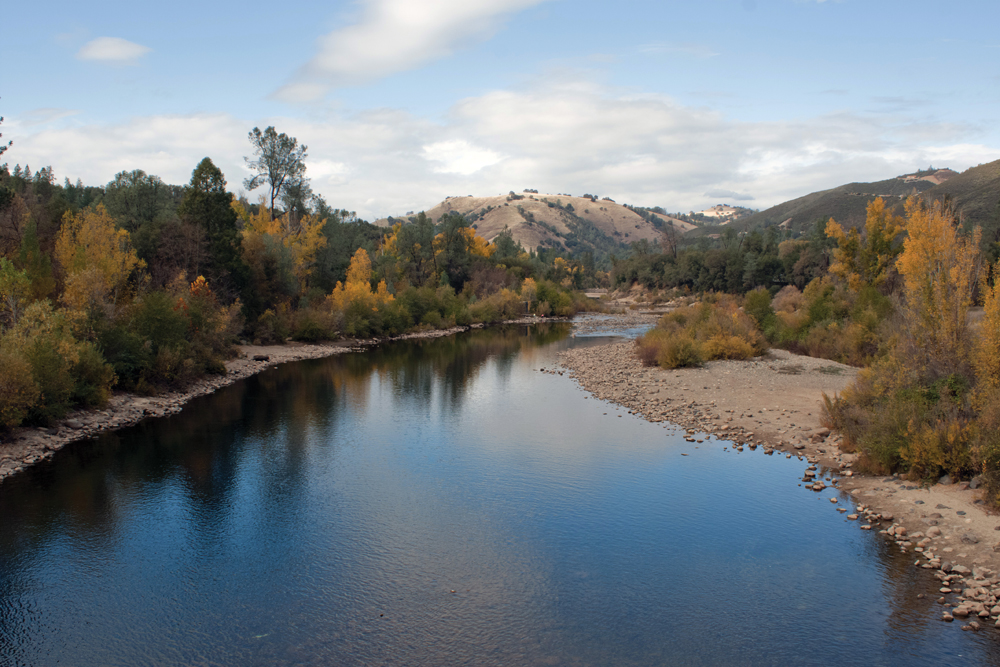
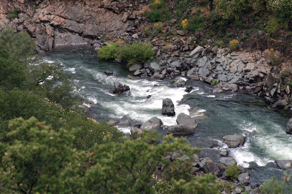
The subregion consists of roughly 5,375 square miles and includes portions of six counties. The foothill and mountain counties are undergoing land-use transitions from primarily extractive industries and agriculture production to rural and urban development. The subregion covers a large and diverse area from elevations as high as 9,148 feet to 23 feet at the confluence of the Sacramento River. The higher elevations consist of mixed conifers and montane hardwoods progressing to oak woodland, chaparral, and grasslands in the lower elevation. The landscape is characterized by rugged topography with steep canyons in the upper watershed and both highly urbanized areas and rural agricultural communities in the lower watershed. Although each river basin has its own unique set of attributes and management issues, those watershed conditions common to the subregion as a whole are:
- largely unpopulated with vast tracks of public land in upper watershed, and urban and agricultural communities dependent on levee systems in the lower watershed;
- having legacy issues from abandoned gold mines; and
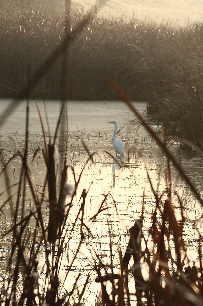
- serving as an important source of recreation opportunities.
The dominant management issues for this subregion center on protecting water quality (including dealing with mercury from abandoned mines), maintaining and improving habitat for fish and other aquatic species, improving fuels management and reducing fire risk, and in the lower watersheds improving flood management and reducing flood risk.