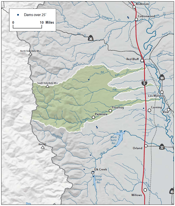
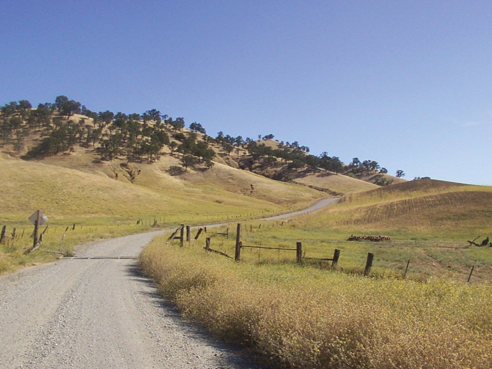
Red Bank Creek
The Watershed at a Glance
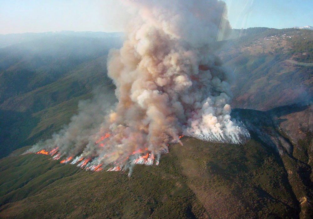
The Tehama West Watershed includes four principal streams (Reeds, Red Bank, Thomes, and Elder Creeks) and several minor tributaries that drain from the west side of Tehama County to the Sacramento River. In their upper elevations, these watercourses have year-round flow and support a variety of aquatic life. The lower reaches become mostly dry in the summer season. Because of the hydrology, this watershed is not considered significant habitat for anadromous species. The land area is predominantly privately owned timber- and rangeland. The major watershed management issues for this area involve accelerated erosion, improving aquatic and streamside habitat, fire and fuels loads, and preserving the rural open space and agricultural character of the area.
Hydrology
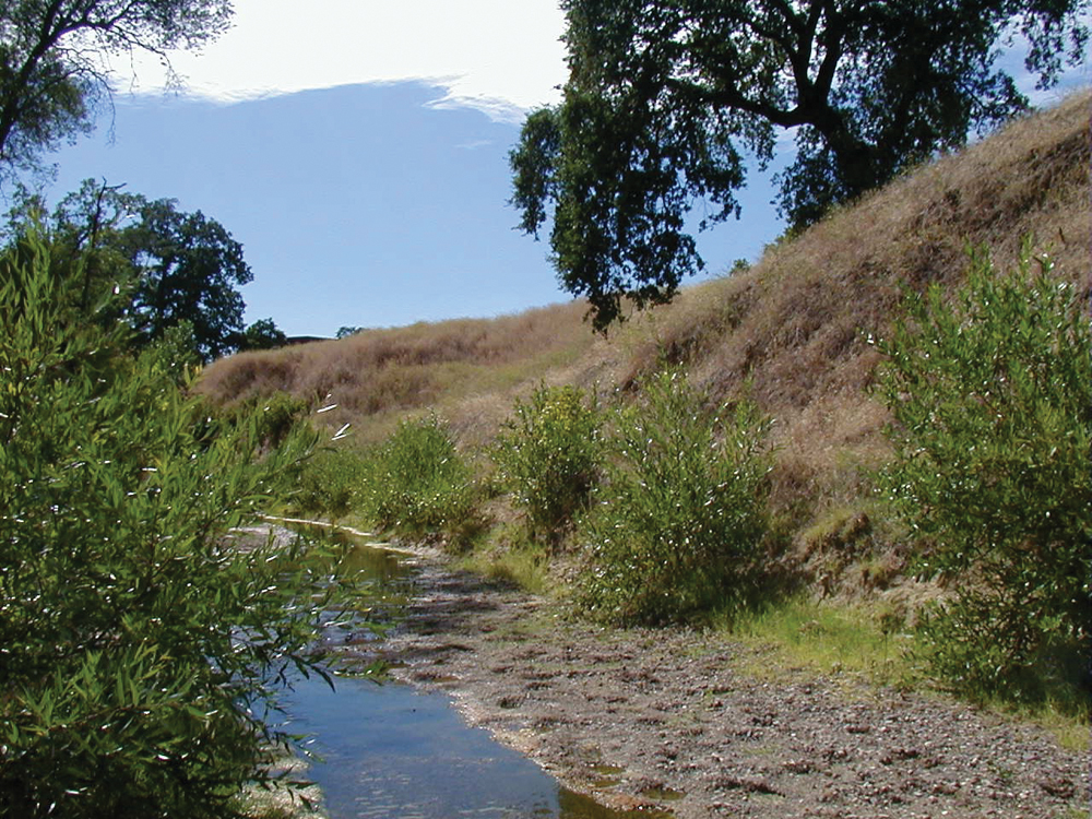
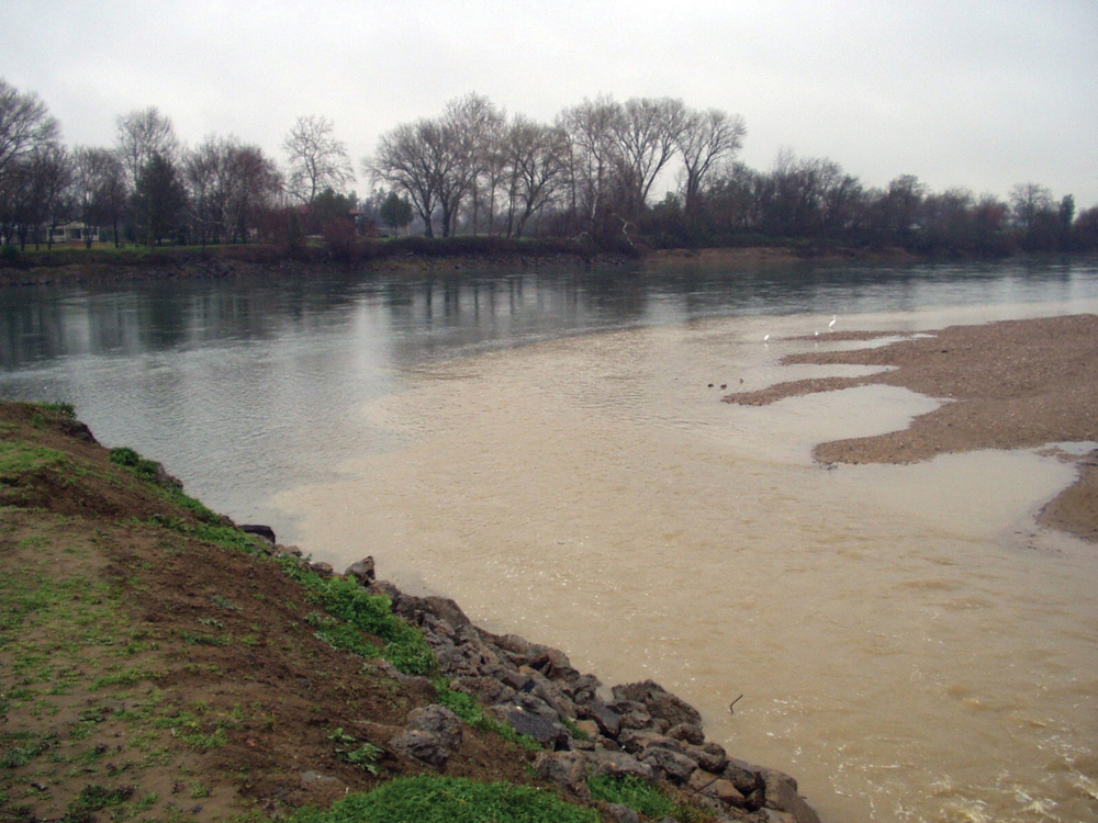
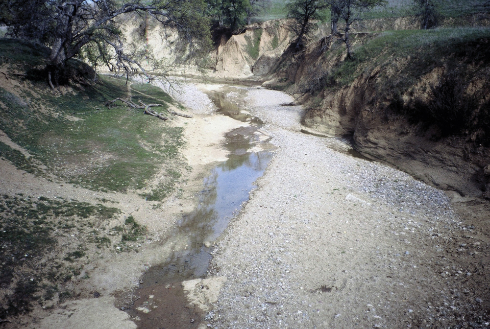
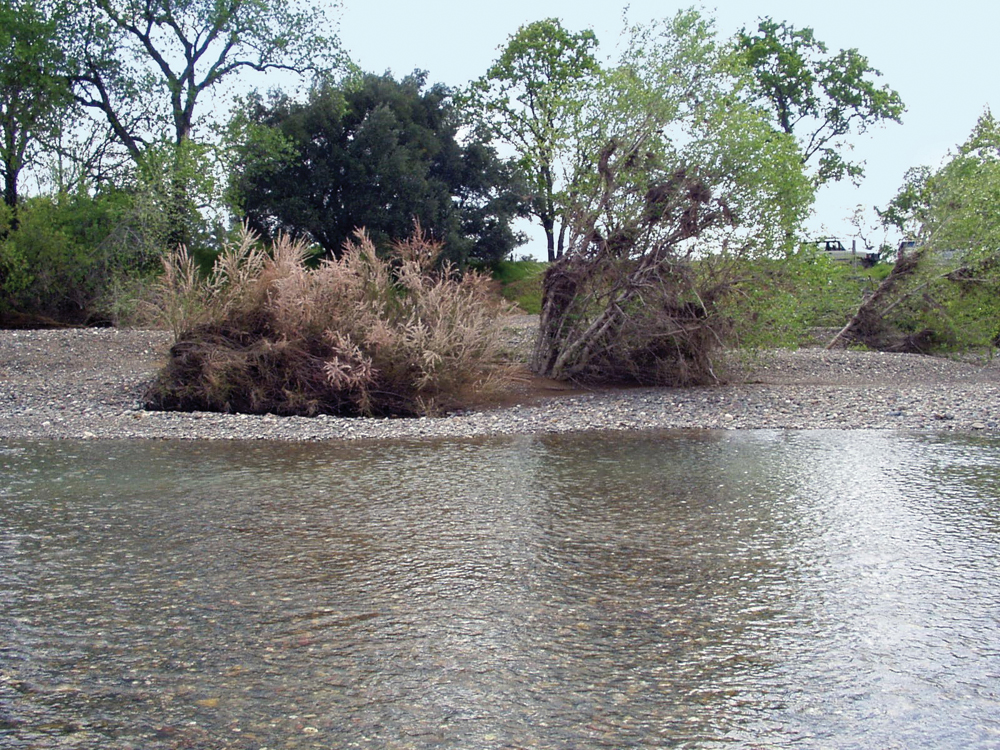
In contrast to waters flowing from the Sierra Nevada in eastern Tehama County, streams on the westside lack areas of significant snowpack, and hydrology is mostly rainfall-driven. Streams show rapid response to storms, and flow levels fluctuate greatly between storm periods and intervening dry spells. Of the major drainages, Thomes Creek has an annual average flow of 295 cfs, followed by Elder Creek at 100 cfs and Red Bank Creek at 49 cfs. All streams typically go dry or near dry by July in the lower reaches, and significant surface flows do not return until late fall. Although there is some surface water diversion (less than 5,000 acre-feet annually), groundwater is the primary water supply for municipal and agricultural uses in the watershed. The Tehama County Flood Control and Water Conservation District is the authorized groundwater management agency for this area.
Water Quality
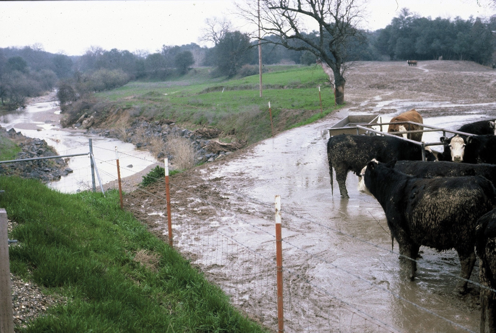
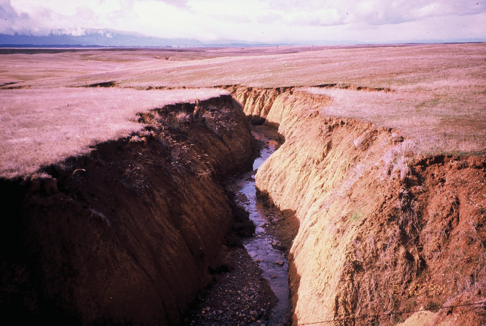
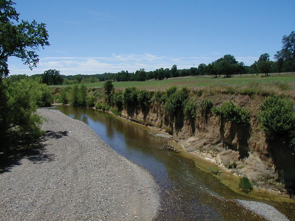
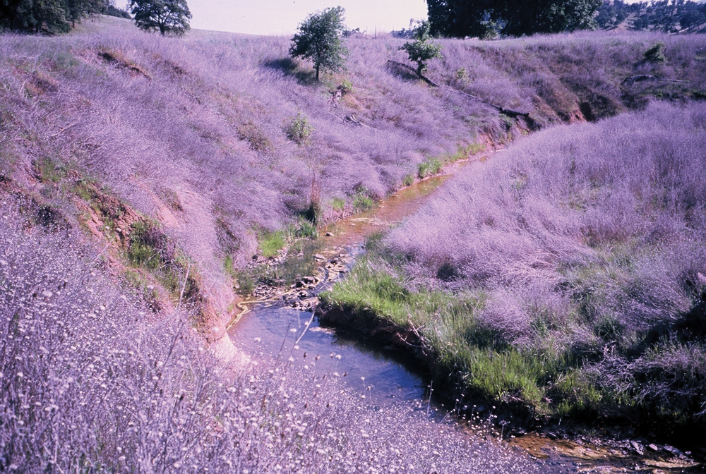
In general, surface water quality in the watershed is good. DWR and USGS have recorded elevated levels of some constituents (dissolved metals, pH, and temperature), but these are considered the result of natural conditions of climate and geology. The principal issue is sediment loading and transport rates. Most westside streams carry high levels of suspended and bedload sediment, particularly during storm runoff events. These sediment loads cause changes in channel morphology and affect aquatic life and their habitat.
Fish and Wildlife
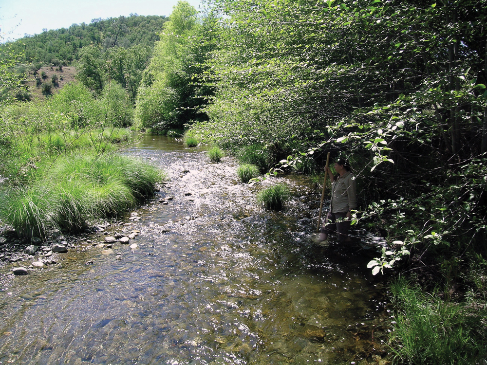
The physical characteristics of Tehama West drainages play an integral role in the status of fish populations and other aquatic life. Upper Coast Range stream reaches may be perennial with resident fish populations, mid-reach sections typically are dry for extended periods, and lowest reaches (near the Sacramento River) may have small amounts of water from irrigation and other sources that support fish that seasonally migrate from the river and occupy these lower reaches. In the upper perennial stream sections, common native species include rainbow trout, hardhead, and pikeminnow. Early stages of important anadromous species such as Chinook salmon and steelhead are believed to occupy habitat provided in streams near the Sacramento River.
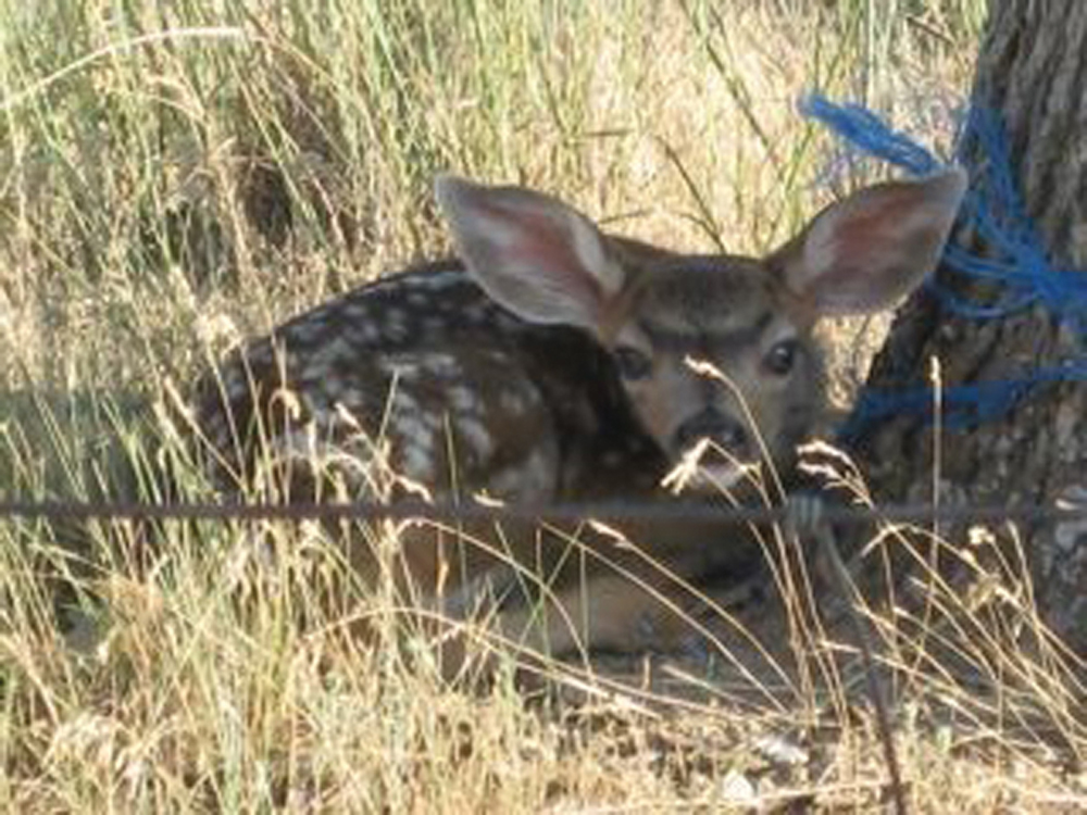
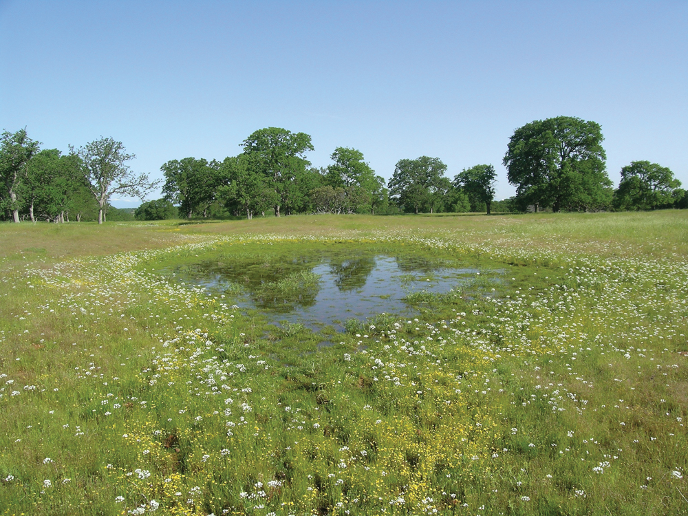
Wildlife in the Tehama West Watershed provides opportunities for observation, hunting, and other recreational pursuits. In part because of changes in the vegetation community (factors cited in the Vegetation section), wildlife habitat protection and enhancement are an important management objective. Historically, Tehama West has been home to one of the state’s major blacktail deer populations. Special-status species include yellow-legged frog, northern spotted owl, and valley elderberry longhorn beetle.
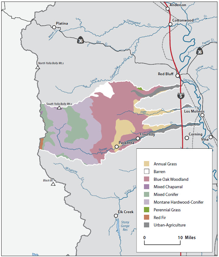
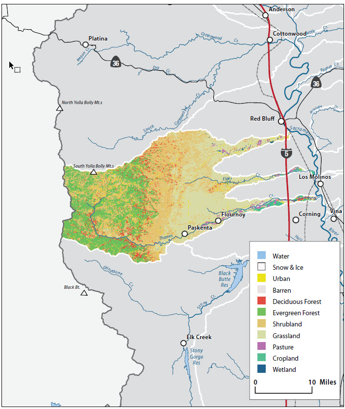
Vegetation
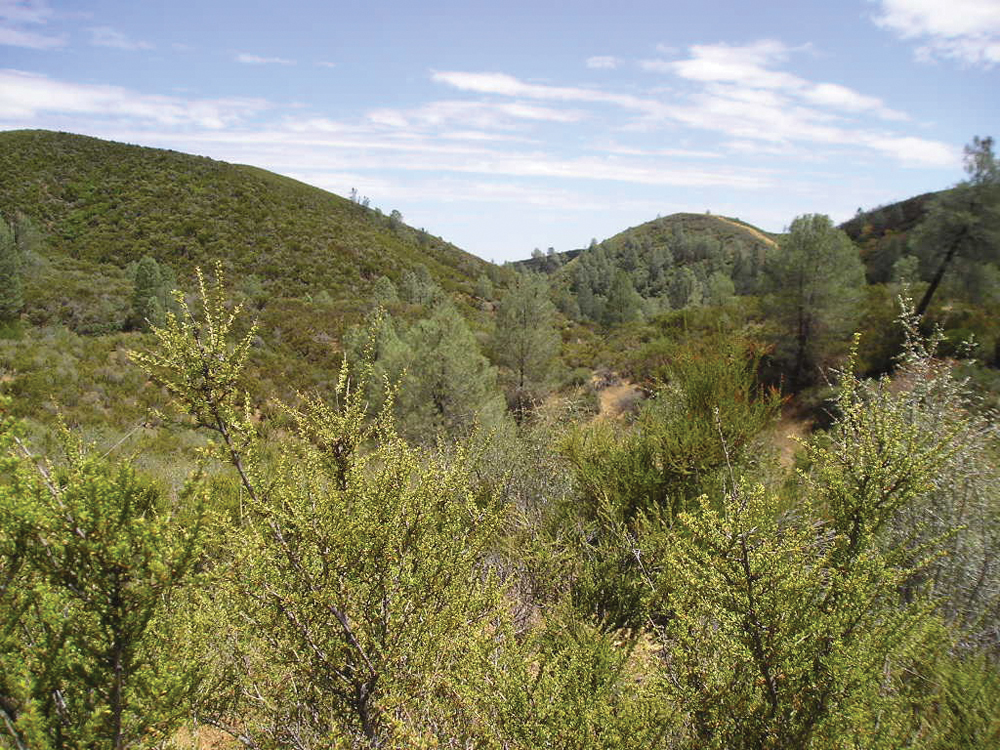
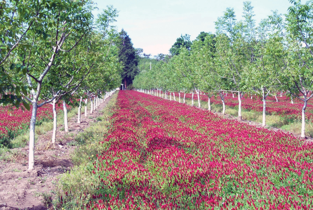
The nearly 700,000 acres of the Tehama West Watershed are characterized by vegetation such as orchards and irrigated field crops in the lower watershed near the Sacramento River, annual grass and oak woodland in the foothills, and coniferous forest in the upper watershed. Vegetation types are summarized as follows:
- conifer dominated—18%
- hardwood dominated—25%
- shrub and chaparral—7%
- annual grassland—31%
- cropland—5%
- unclassified—14%
The principal driving forces behind the existing vegetation conditions include (1) introduction of nonnative plant species, (2) grazing by domestic livestock, and (3) alteration of historical fire regime.

Life in the Watershed
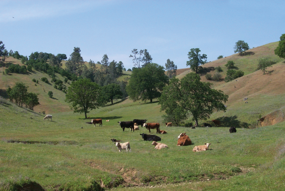
Rural lifestyles and low population density (approximately 5 persons per square mile) generally characterize the watershed. The largest community is Red Bluff with a population of 13,000. Other towns include Corning, Tehama, Gerber, and Paskenta. These population centers are mostly along the I-5 corridor. Ranching, farming, and timber are the primary resource activities throughout the watershed. Cattle, pasture and hay, orchards, and some grain crops dominate agricultural land use. Gravel extraction in and adjacent to stream channels historically has been one of the principal industries. The watershed is rich in recreational resources such as hiking, camping, hunting, and fishing, particularly in the upper watershed on the Mendocino National Forest. Maintaining the rural agricultural lifestyle is a major concern for much of the watershed community.
Management Objectives
Under the direction of the Tehama County RCD, the Tehama West Watershed Management Plan was completed in August 2008, prioritizing management actions to improve watershed conditions. In general, management issues in this watershed area are as follows:
- decrease fire hazards and fuels loading,
- improve range and wildlife habitat conditions in the chaparral regions,
- address erosion and channel degradation, and
- limit land conversion that threatens the rural agricultural lifestyle.
Management Organizations Active in the Watershed
Tehama County Resource Conservation District
The Tehama County RCD completed the West Tehama Watershed Assessment in April 2006 and West Tehama Watershed Management Plan in August 2008. In cooperation with NRCS and other state/federal resource agencies, projects have been implemented addressing issues such as oak woodland and streambank plantings, management of conservation easements, operation of a mobile irrigation lab, fire plan development, and general public education and outreach activities.