Upper Cottonwood Creek Watershed
The Watershed at a Glance
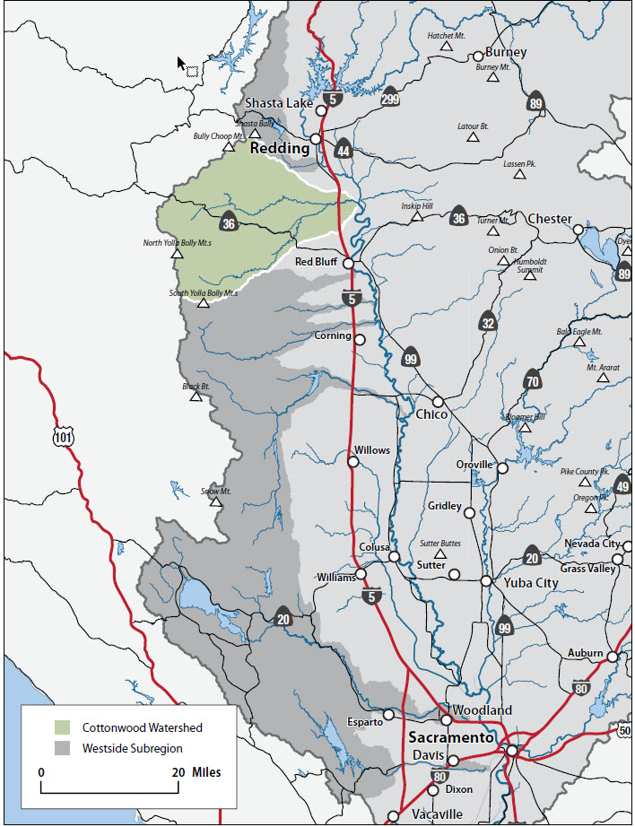
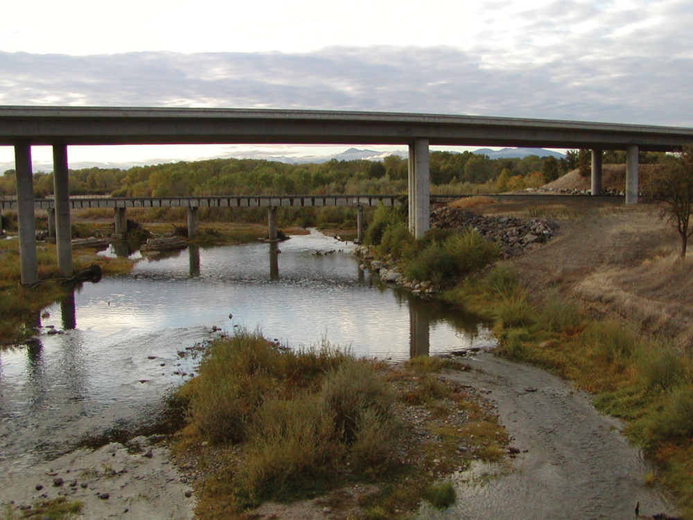
The Cottonwood Creek Watershed lies in Shasta and Tehama Counties on the northwest side of the Sacramento Valley. Drainage comes from the east slope of the Coast Range and Klamath Mountains and the southern slopes of the Trinity Mountains, entering the Sacramento River near the town of Cottonwood. With its three main tributaries (North Fork, Middle Fork, and South Fork) and more than 500,000 acre-feet in annual runoff, this is the third largest watershed on the westside of the basin. Typical of westside watersheds, headwaters are from relatively low-elevation, rainfalldominated areas that produce a flashy hydrology (short-term peak runoff events in winter and low baseflow in summer). Cottonwood Creek is the largest undammed tributary in the basin and is a major source of sediment and gravel input to the Sacramento River. With its large expanse of open space (both public and private lands), this watershed provides important habitat for a variety of wildlife species. The lower reach supports fall-run Chinook salmon, and Begum Creek in the upper watershed holds spring-run Chinook salmon and steelhead habitat. Land use is predominantly timber production and range for domestic livestock.
Hydrology
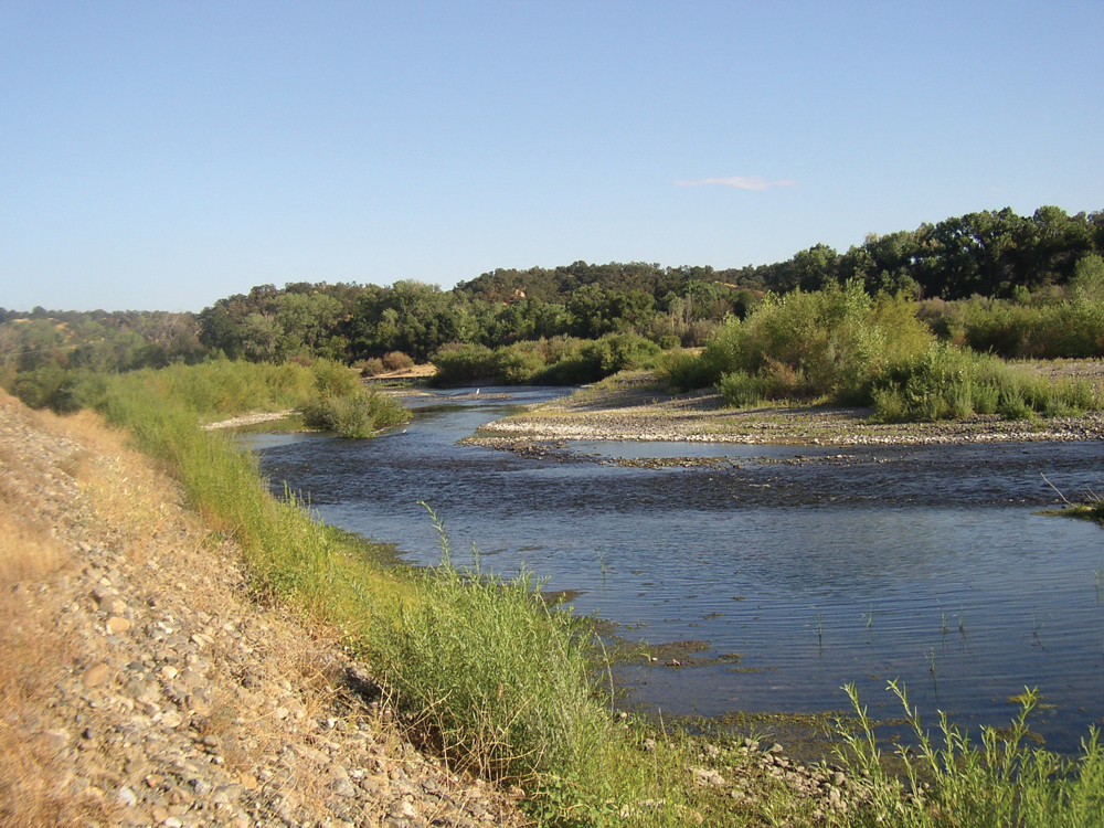
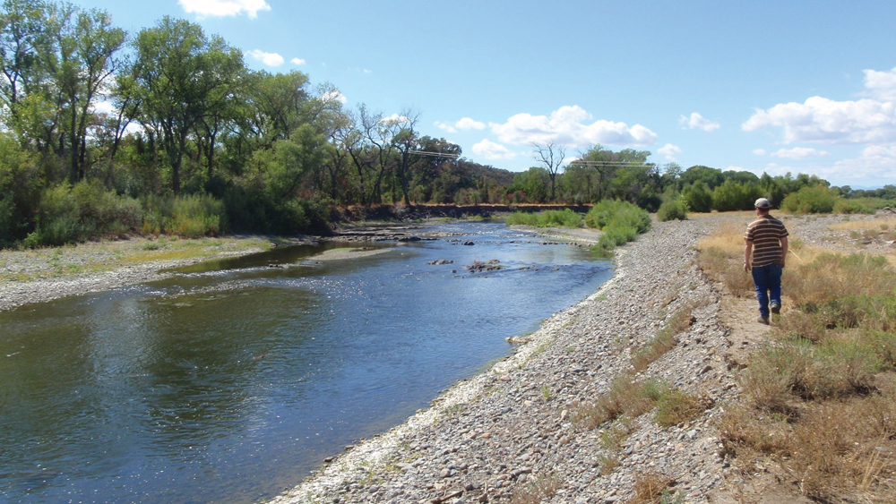
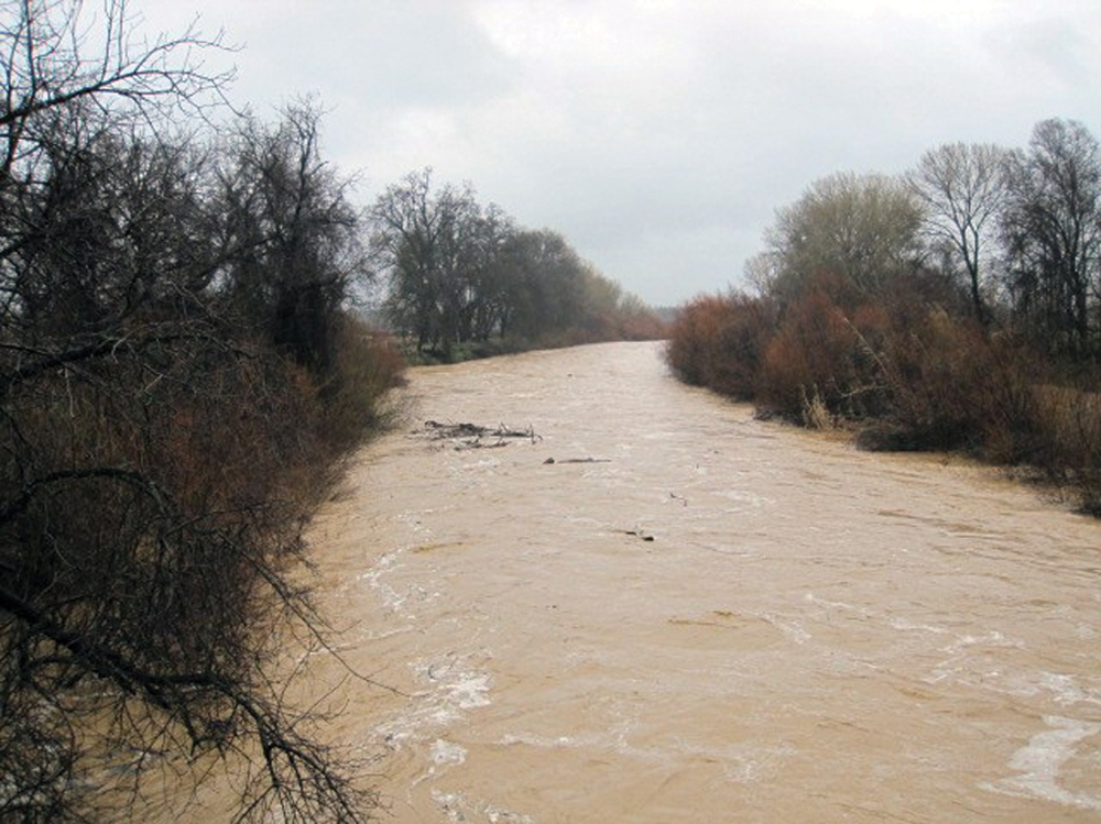
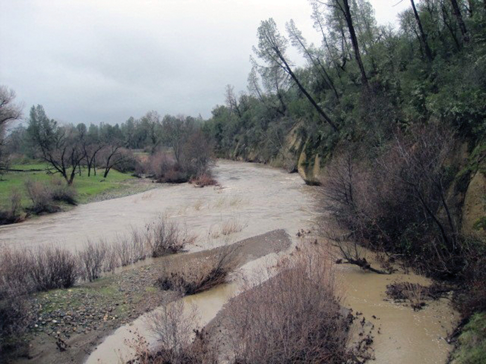
Cottonwood Creek is the largest undammed tributary in the Sacramento River Basin. It has a natural pattern of high flows and peak runoff events in winter and low flows in the summer and fall. The average annual flow in the lower reach near Cottonwood is 860 cfs. Summer flows typically average from 50 to 100 cfs. The largest 1-day floodflow is 70,000 cfs in January 1974. Unlike many of the watersheds on the east side of the Sacramento Valley, in Cottonwood Creek there is relatively little water diversion for summer irrigation use. Rainbow Lake is the only significant reservoir in the watershed. It was formed in 1920 when Musselbeck Dam was built on the North Fork and is used for flood control and municipal/ agricultural supply for the communities of Igo and Ono. A major water development feasibility study was done in the 1970s by the USACE that included several major reservoir alternatives in the watershed. These potential projects were reviewed as part of the CALFED Bay-Delta Program but were not recommended for further consideration. There are significant groundwater resources in the lower elevation area near Cottonwood that provide domestic and agricultural water supply.
Water Quality
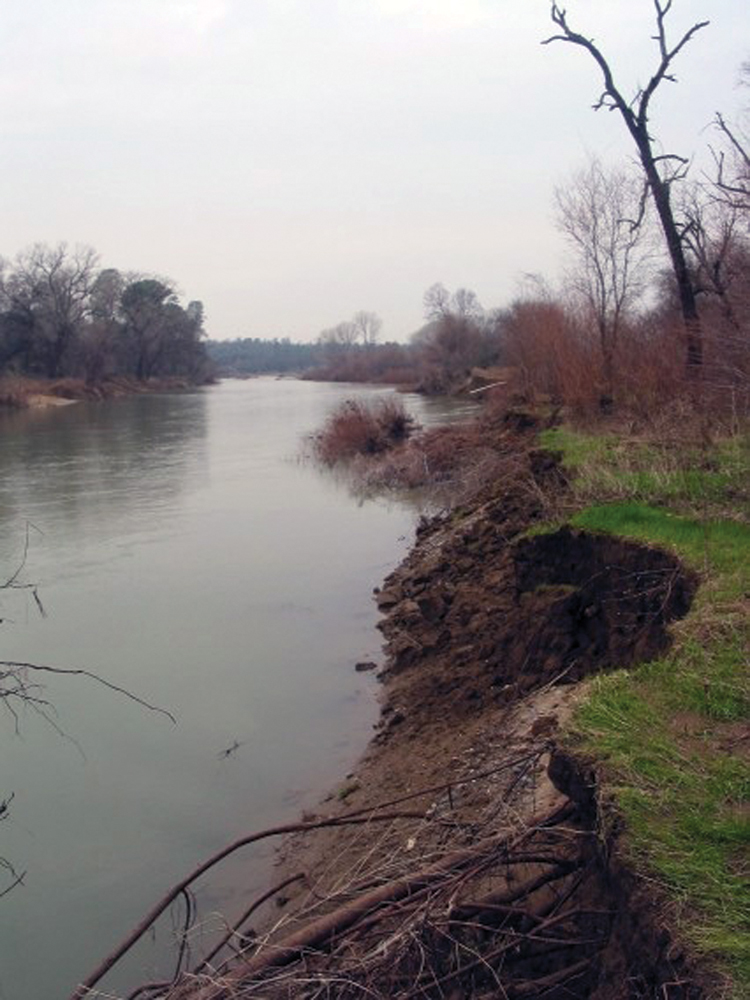
Water quality data for Cottonwood Creek come mostly from past studies conducted by DWR and the USACE (from water development feasibility studies). Physical and chemical constituents generally reflect good water quality that is supportive of aquatic life and other beneficial uses. Turbidity and suspended sediment are frequently elevated during high-flow events, and the largest source of this sediment turbidity is from landslide features in the South Fork drainage. Water temperatures in the lower reach of Cottonwood Creek are not supportive of coldwater species on a year-round basis. Because this watershed has a significant run of anadromous fish, maintaining adequate temperatures during times of both in- and out-migration is an important issue. Temperatures in Cottonwood Creek are influenced largely by ambient air temperature, flow, and channel conditions (e.g., streamside shade canopy).
Vegetation
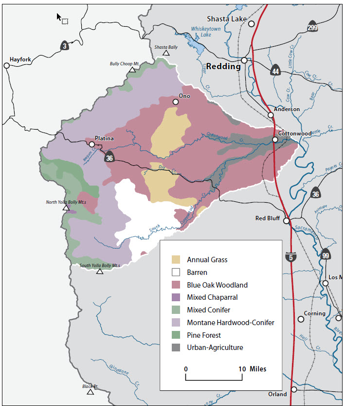
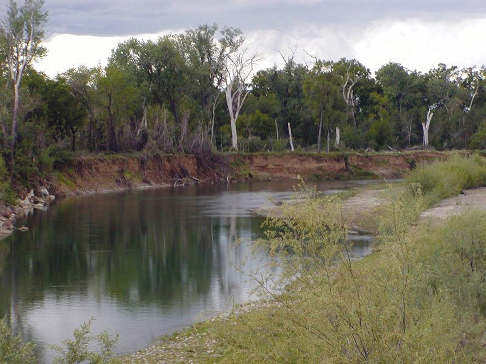
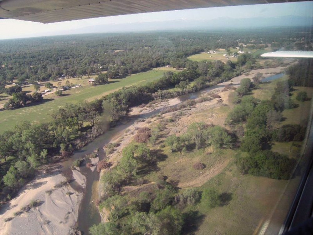
More than 40% of the watershed is classified as blue oak and foothill pine. Other major vegetative types are chaparral (16%), annual grassland (13%), Douglas-fir (15%), and mixed conifer (10%). There is some agricultural land (irrigated pasture and some orchard crops), mostly in the lower 10 miles of the watershed near the town of Cottonwood. Lower Cottonwood Creek has a broad floodplain and, meandering stream channel with dense riparian vegetation.
Fish and Wildlife

All three forks of Cottonwood Creek support fall-run salmon, and Beegum Creek, tributary to the Middle Fork, is important habitat for spring-run salmon and steelhead. DFG estimates that on the average, 1,000 to 1,500 fall-run Chinook salmon enter the stream annually. Numbers have fallen in recent years, consistent with the overall decline of fall-run Chinook salmon in the Sacramento River. Warmwater species (e.g., carp, sucker, bass, pikeminnow) are common in the lower reach of Cottonwood Creek. The watershed supports a variety of wildlife species reflective of the diversity of the landscape (open space with agriculture, annual grassland, oak woodland, and conifer stands). Recreationally important species include blacktail deer, wild turkey, quail, and feral pigs. Special-status species include northern spotted owl, red- and yellow-legged frog, valley elderberry longhorn beetle, and vernal pool fairy shrimp.
Management Objectives
The Cottonwood Creek Watershed Management Plan was completed in June 2007. This report was prepared under the direction of the Cottonwood Creek Watershed Group working with agencies, landowners, and other stakeholders. That document lists the following management goals for this watershed:
- address problematic bank and channel instability;
- develop a sustainable gravel management program;
- sustain and enhance populations of native fish, wildlife, and plant communities;
- develop an upland brush and fire management plan;
- expand quality and quantity of riparian habitat;
- maintain good water quality;
- implement practices that improve watershed hydrology (i.e., increase infiltration, increase summer baseflow, reduce floodflow);
- develop a management program for invasive plants, particularly saltcedar (Tamarisk spp.) and giant reed (Arundo donax);
- reduce overall loading of fine-grain sediment (from roads and other land management practices);
- maintain the rural and agricultural nature of the watershed; and
- continue a program of information dissemination, education, and watershed stewardship.
Life in the Watershed
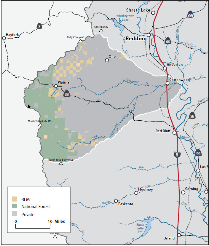
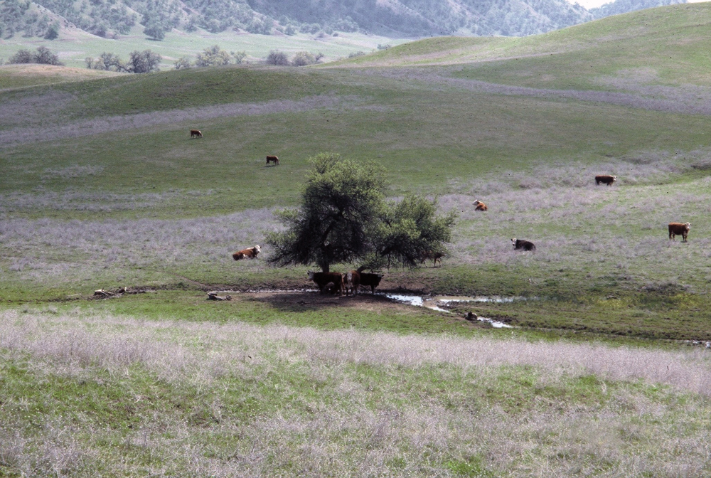
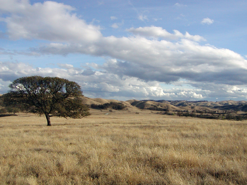
In general, agriculture, timber, and public lands cover most of the land area in this watershed. Upper reaches of south fork Cottonwood Creek lie within the Yolla Bolly Wilderness Area on the Mendocino National Forest. Large ownerships of ranch and grazing land are common, and much of this land base is in the Land Conservation Act of 1965 (Williamson Act). The town of Cottonwood is the major urban center (population 2,500), and there are several other smaller, unincorporated community centers (Igo, Ono, Beegum, Platina, and Bowman). Potential large-scale, new residential development along the I-5 corridor recently has become a significant planning issue in Tehama County and the Cottonwood Creek Watershed.

Management Organizations Active in the Watershed
Cottonwood Creek Watershed Group
CCWG was a nonprofit, local watershed management organization established in 1998, with the mission to “preserve the environment, property rights and economic resources of the Cottonwood Creek Watershed through responsible stewardship, liaison, cooperation and education.” With funding assistance from the CALFED Watershed Program, CCWG completed a Cottonwood Creek Watershed Assessment and Management Plan. The group continued to pursue technical and financial assistance to implement watershed projects consistent with the goals of the management plan. The group became inactive around 2010.
Tehama County and Western Shasta Resource Conservation Districts
The Cottonwood Creek Watershed is geographically split between Shasta and Tehama Counties. Both RCDs are active in implementing projects targeting erosion control, fire and fuels management, noxious and invasive plant removal, and improved livestock management.