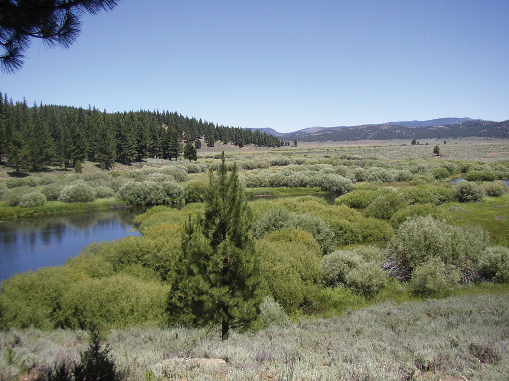
Jamison Creek near Plumas-Eureka State Park
The Watershed at a Glance
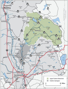
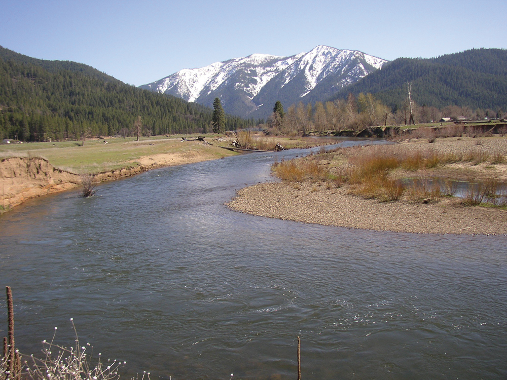
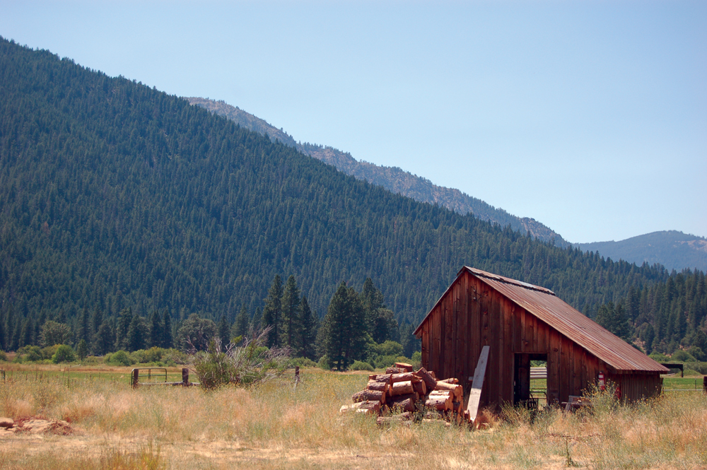
The Upper Feather River Watershed includes all waters tributary to the Feather River from the headwaters in the Sierra Nevada crest downstream to Lake Oroville. The Upper Feather is a major source of the state’s water needs and provides virtually all the water delivered by the California State Water Project. Most of the watershed lies in Plumas County and is roughly 65% publicly owned, primarily by the USFS. The western portion of the watershed is distinctly different from the east. The eastside is characterized by streams flowing through broad alluvial valleys with sagebrush and timber in the higher elevations. Privately owned ranch lands support irrigated pasture and livestock production. Sierra Valley, near the headwaters of the Middle Fork, is the largest alpine meadow in the United States. The westside has higher precipitation and steeper terrain, and is characterized by conifer forest with numerous lakes and streams. The Upper Feather Watershed supports extensive outdoor recreation (e.g., hunting, fishing, camping, hiking, skiing) along with timber production, livestock grazing, and rural residential housing.
The Upper Feather River Watershed includes the following individual drainages and geographic areas.
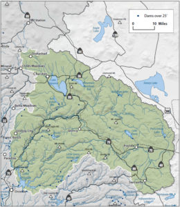
East Branch of the North Fork Feather River
This watershed area includes two major tributaries from the eastside of Plumas County—Spanish Creek, and Indian Creek, which is joined by Last Chance and Red Clover Creeks. Both drain to the North Fork Feather River. There is also one State Water Project facility, Antelope Lake, which is operated for recreation.
North Fork Feather River
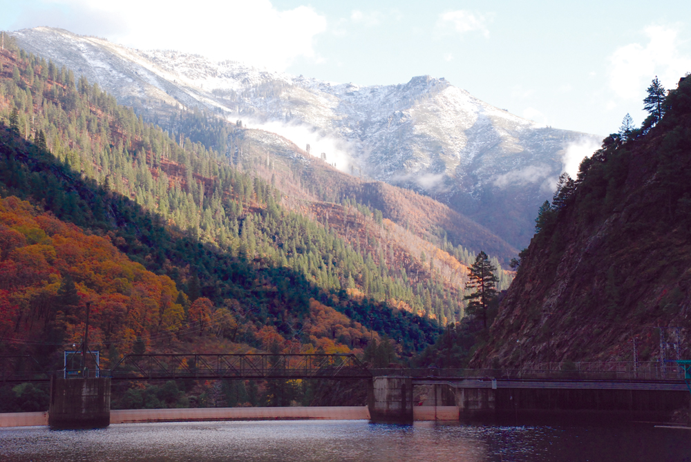
The North Fork Feather River starts with streams tributary to Lake Almanor, and after joining the East Branch North Fork, continues downstream to Lake Oroville. It is largely dominated by PG&E-operated hydropower facilities that include the Hamilton Branch, Butt Valley, Caribou 1 and 2, Rock Creek, Bucks Creek, Cresta, and Poe Powerhouses.
Middle Fork Feather River
The Middle Fork Feather River originates in the mountains above Sierra Valley and continues downstream to Lake Oroville. There are two State Water Project reservoirs, Frenchman and Lake Davis that also are used for recreation. The Middle Fork Feather River from Sierra Valley to Lake Oroville (approximately 70 miles) is a federally designated Wild and Scenic River.
South Fork Feather River
The South Fork Feather River lies mostly within the Plumas National Forest from its headwaters downstream to Lake Oroville. There are three reservoirs on the South Fork—Little Grass Valley, Sly Creek, and Ponderosa, that are owned and operated by the South Feather Water and Power Agency.
West Branch Feather River
The West Branch includes drainage from a number of lakes and streams in western Butte County and enters Lake Oroville near the town of Paradise.
Hydrology
Water from the Upper Feather Watershed supplies approximately 3.2 million acre-feet per year for downstream water users (urban, industrial, and agricultural). The drainage area is roughly divided as follows: North Fork (60%), Middle Fork (32%), South Fork (4%), and West Branch (4%). Average daily flow into Lake Oroville from each of these subwatersheds is:
| North Fork | 3,200 cfs |
| Middle Fork | 1,500 cfs |
| West Branch. | 350 cfs |
| South Fork | 260 cfs |
| Total | 5,310 cfs |
State Water Project and PG&E reservoirs that are operated for water supply, recreation, and flood control include Frenchman Reservoir, Lake Davis, Antelope Reservoir, and Lake Almanor. In the lower North Fork Feather River, a series of PG&E reservoirs known as the “stairway of power” is operated for hydropower production.
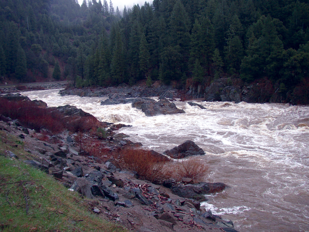
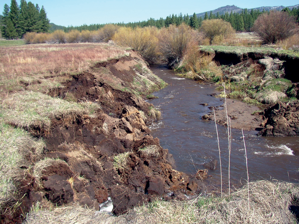
Periodically, wet season storm events can produce massive surface water outflow from the Upper Feather River Watershed (particularly rain-on-snow events). These peak runoff events are exacerbated by the loss of floodplain function and high road densities that are common in many of the river and stream channels throughout the watershed. In January 1997, a series of Pacific storms stalled over the watershed, producing 300,000 cfs of surface water inflow into Lake Oroville, an event that severely tested the operational integrity of the entire Central Valley flood control system. In addition to these occasional wet season floodflows, maintaining adequate dry season base flows for irrigation and aquatic life needs is an important management issue.
The principal groundwater basin in this watershed is in Sierra Valley and has an estimated storage capacity of 7,500,000 acre-feet and a depth of 1,000 feet. The basin is managed by the Sierra Valley Groundwater Management District.
Water Quality
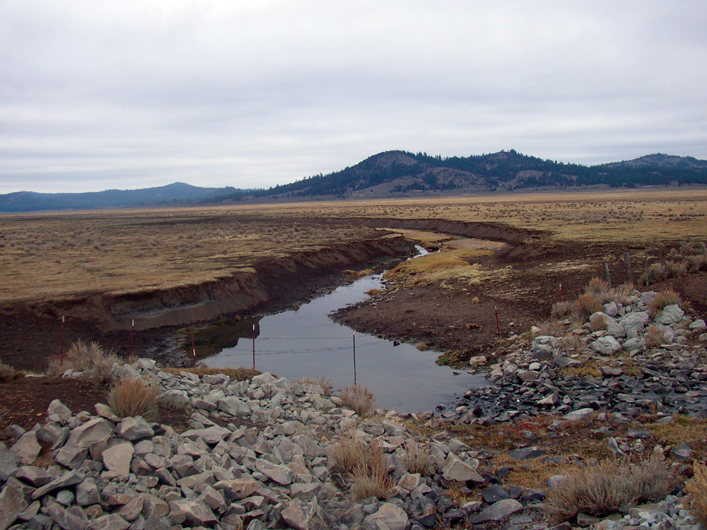
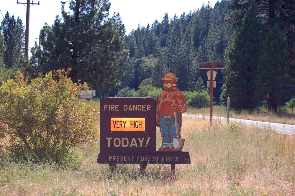
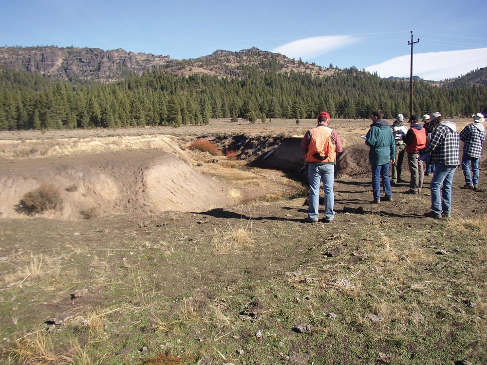
Overall, water quality is considered good, but there are several water bodies currently on the Clean Water Act’s 303(d) list of impaired waters (listed constituents include mercury, copper, temperature, and toxicity). Water quality constituents of general concern include temperature, dissolved oxygen, sediment, and bacteria, and the impacts are related to common land and water use practices in this watershed, (i.e., ranching, mining, timber harvest, road construction/maintenance, and rural residential development). Reducing peak streamflows and accelerated erosion is a principal management goal, as an estimated 1.1 million tons of sediment are transported annually out of the North Fork Feather River watershed.
303(d) Listings for the Upper Feather River Watershed
| WATERBODY | POLLUTANT |
|---|---|
| Lake Almanor | Mercury |
| Concow Creek (trib. to West Branch Feather River) | Unknown Toxicity |
| Middle Fork Feather River (Sierra Valley to Lake Oroville) | Unknown Toxicity |
| North Fork Feather River | Mercury, PCBs, temperature |
| South Fork Feather River (Little Grass Valley Reservoir to Lake Oroville) | PCBs (polychlorinated biphenyls) |
| Little Grizzly Creek | Copper (Walker Mine) |
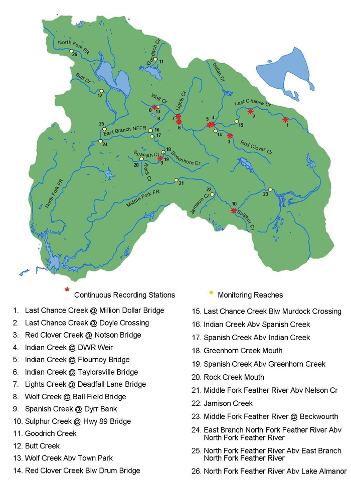
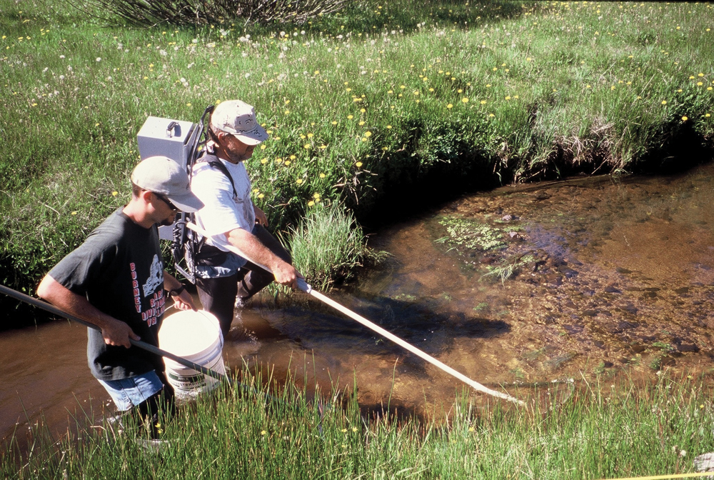
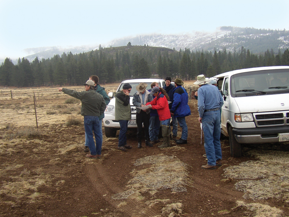
Historically, water quality monitoring in this watershed has been by DWR as part of their responsibility for delivering State Water Project water. Over the last 12 years (since 1998), a monitoring program has been established and implemented by the Feather River CRM program. This program is continuing to track water quality, flow, and channel condition parameters at a number of sites throughout the watershed.
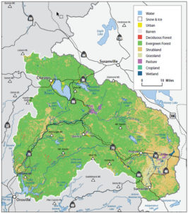
Vegetation
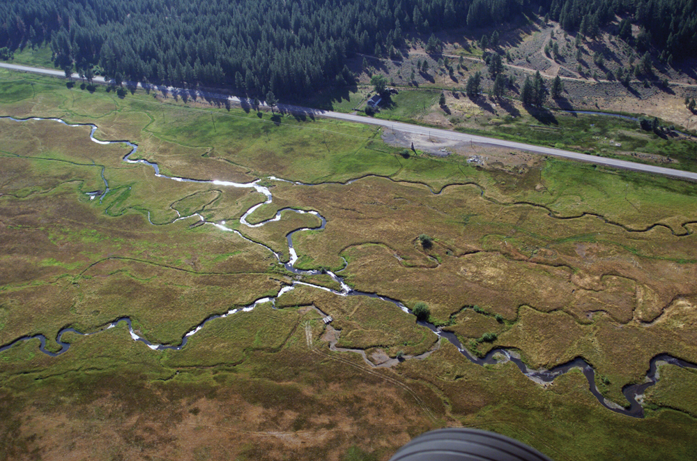
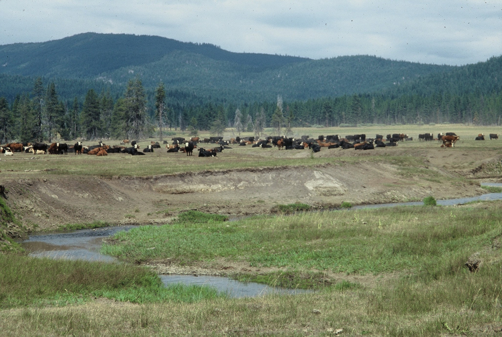
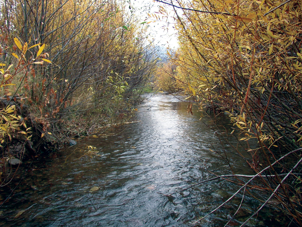
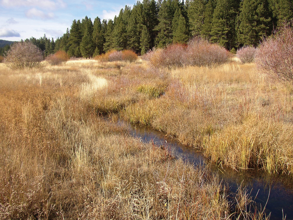
Roughly 70% of the Upper Feather River Watershed is composed of mixed conifer forest (pine, fir, and cedar species). Irrigated agriculture (mostly pasture, hay, and alfalfa) is the next largest vegetative cover type. Sagebrush communities are common on the eastside, and meadow and riparian land-forms are extensive throughout the watershed. Restoring these wet meadow and riparian environments continues to be a priority management issue.
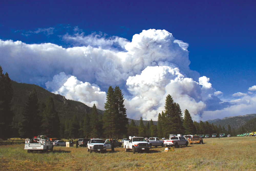
In October 1998, Congress enacted the Herger- Feinstein Quincy Library Group Forest Recovery Act. It is intended to implement and demonstrate the effectiveness of fuels and vegetation management activities to meet ecologic, economic and fire management objectives. This pilot project area covers 1.53 million acres and is scheduled for completion in 2012. Lassen, Plumas and Tahoe National Forests are the major players in this forest health improvement effort.\
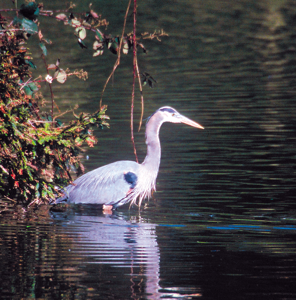
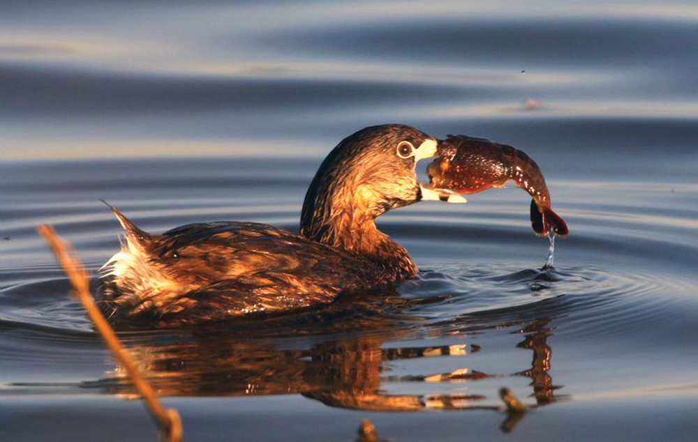
Fish and Wildlife
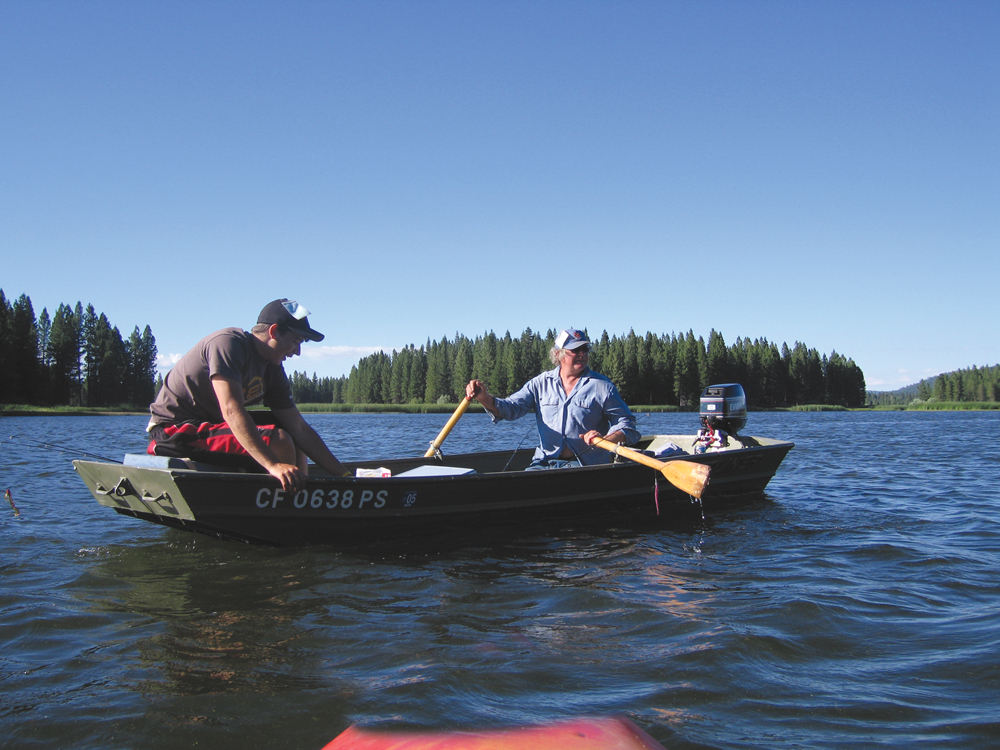
The Upper Feather River Watershed has a variety of aquatic habitats (lakes, reservoirs, rivers, and streams) that support both cold- and warmwater fish species (native and nonnative). Sport fishing represents an important part of the local recreation-based economy. Historically, parts of the Upper Feather River were habitat for migrating Chinook salmon and steelhead; however, early construction of PG&E hydro facilities, culminating with the construction of Oroville Dam in the 1960s, prevented these salmonid species from reaching the upper watershed. Reintroducing salmon and steelhead to the upper watershed has been considered, but the logistics are challenging and current mitigation plans focus on habitat improvements in neighboring watersheds.
Life in the Watershed
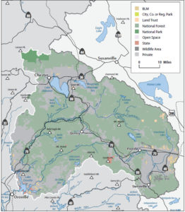
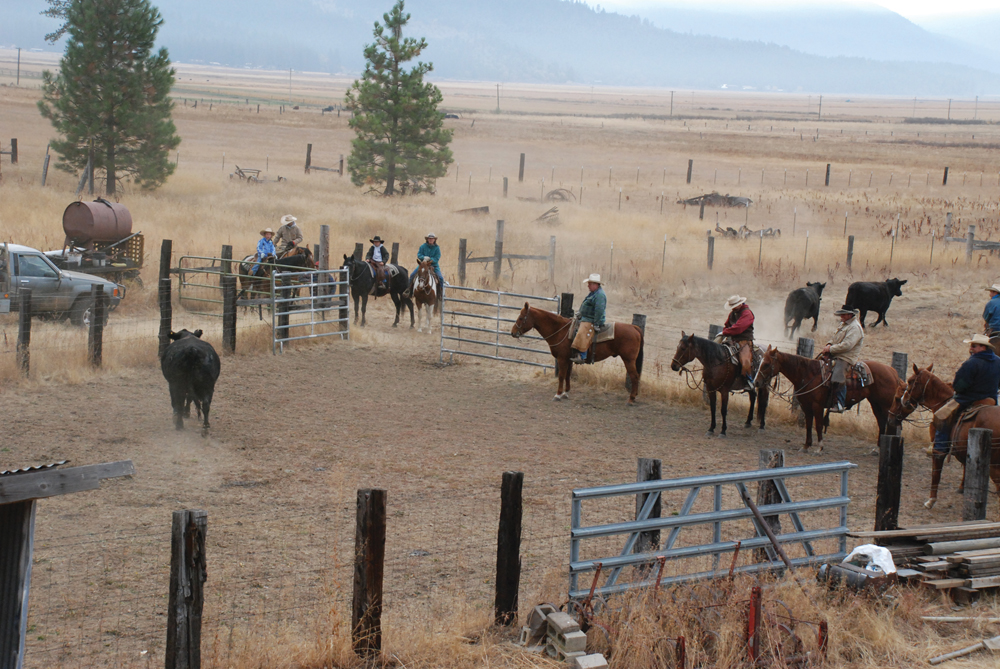
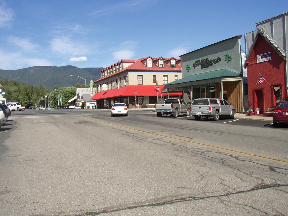
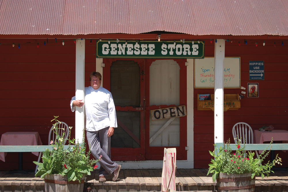
Sixty-five percent of the land area is publicly owned and administered by the USFS (Plumas National Forest). Communities in the watershed traditionally have been dependent on resource-based industries such as agriculture, grazing, mining, and logging. In recent times there has been a shift in dependence on these resource-based industries to more service-based industry such as tourism. This shift also has seen an increased demand for rural residential and resort development. There are no large metropolitan areas in the watershed, and the population density is low (8.2 persons per square mile). The majority of the watershed population (33,000) reside in Quincy, Greenville, Portola, the Almanor Basin, and Indian Valley.
There are several distinct social groups, including longtime residents employed in the logging, lumber, and agricultural industry; urban emigrants; government workers; retirees; and the business community. The Maidu Indians traditionally inhabited much of the watershed area, and approximately 1,500 of the Maidu people remain. Ranching and cattle production is the principal agricultural land use. Timber harvesting and lumbering, once predominant, are being replaced by service-sector and recreation-based jobs.
Management Objectives
Priorities for management and restoration in the Upper Feather River Watershed are set forth in two separate but related documents—Feather River Watershed Management Strategy, May 2004 (prepared by Ecosystem Sciences for the Plumas County Flood Control and Water Conservation District) and the Upper Feather River Integrated Regional Water Management Plan (prepared in June 2005 by Plumas County, Plumas National Forest, and Sierra Valley Groundwater Management District for purposes of the State IRWM program).
The management strategy for the Upper Feather River Watershed can be summarized as actions to:
- improve local water retention (including groundwater storage) to benefit water supply reliability and habitat quality and reduce flood damage;
- improve dry season base flows;
- improve water quality, principally with regard to temperature and sediment transport issues;
- manage upland vegetation to reduce risk of catastrophic wildfire and produce sustainable timber yields;
- implement grazing and irrigation agriculture practices that protect and improve water quality and habitat, while allowing for continued economic viability of these industries;
- increase public awareness and understanding of watershed attributes; and
- implement watershed-scale monitoring and adaptive management with the goal of tracking watershed condition trends and guiding future management actions.
In 2005, the Upper Feather River IRWM program was initiated, with the development and approval of an IRWM plan to address many of these objectives. A management group was established through an MOU between Plumas County, Plumas County Flood Control & Water Conservation District, Plumas National Forest, and Sierra Valley Groundwater Management District. The program subsequently was awarded an implementation grant that included funding for several watershed-improvement projects. More recently, under the Prop 84 phase of IRWM, the governance structure of the Feather River IRWM program has been expanded to establish a formal Regional Water Management Group (RWMG) that includes numerous local agencies (e.g., water and wastewater agencies) and NGOs. In 2009, the Upper Feather Watershed reapplied for IRWM “region” status (through the Regional Acceptance Process) and that has been approved. The RWMG is working on an update to the IRWM plan and will seek further implementation funding.
Management Organizations Active in the Watershed
Feather River Coordinated Resource Management Program
Established in 1985, the FRCRM currently has 24 signatory partners collaboratively working toward watershed improvement in the Upper Feather River Watershed. Initially the focus of the FRCRM was to address erosion and sediment transport issues that were a problem for operation of downstream PG&E reservoirs. Over time, the mission has broadened to restoring rivers and streams to a more natural functioning condition for the purpose of achieving benefits to water quality, habitat, vegetation/ forage conditions, and both dry- and wet-season hydrology.
The FRCRM has successfully implemented a total of 115 projects over the past 25 years, including 66 on-the-ground constructed restoration projects, 13 special studies, 19 planning and strategy documents, and 17 education projects. On-theground projects have treated more than 44 miles of stream, directly restoring approximately 3,900 acres of meadow and floodplain. Based on their extensive experience with restoration project implementation and follow-up evaluation, FRCRM staff also provide technical guidance to programs outside the watershed that are working to implement restoration projects of their own.
While all signatory partners have contributed to the success of the FRCRM program, particular recognition should be given to:
- Plumas County Flood Control and Water Conservation District,
- Plumas Corporation (staff to the FRCRM),
- DWR,
- Central Valley RWQCD,
- Plumas National Forest, and
- USDA, NRCS, and the Feather River and Sierra Valley RCDs.
Plumas Watershed Forum
The Plumas Watershed Forum was established in 2003 as a result of the Monterey Settlement Agreement, which directs investment in the Upper Feather River watershed for the mutual benefit of local interests and the State Water Project. Voting members of the Forum are:
- DWR,
- State Water Project Contractors, and
- Plumas County Flood Control & Water Conservation District.
Over the past 6 years, the Forum has funded numerous watershed-improvement projects and continues periodically to solicit and review new project proposals.
Resource Advisory Council
In October 2000, Congress passed PL 106-393, titled the Secure Rural Schools and Community Self-Determination Act of 2000. The act addressed loss of revenue to local communities as a result of declining timber harvest on national forest lands. A portion of the funding in that act is made available for watershed improvement projects. For the Plumas National Forest (as with other national forests), a Resource Advisory Council was formed to review and approve project proposals. This program has been an important contributor to funding for on-the-ground projects to improve water quality and habitat conditions in the Upper Feather River Watershed.
Quincy Library Group
In the late 1980s, as a result of concern for spotted owl habitat, logging on National Forest lands was severely curtailed. In response, a collaborative effort by timber industry representatives, environmentalists, and local officials became known as the Quincy Library Group. In 1998, the Quincy Library Group submitted a plan to balance the needs of forest health, habitat preservation, fuel and fire reduction, and timber-related economic stability. That plan became federal law, formally known as the Herger-Feinstein Quincy Library Group Forest Recovery Act. This program continues to fund and implement forest-improvement projects, watershed-restoration projects, and monitoring on 1.5 million acres of National Forest land. It is scheduled for completion in 2012.