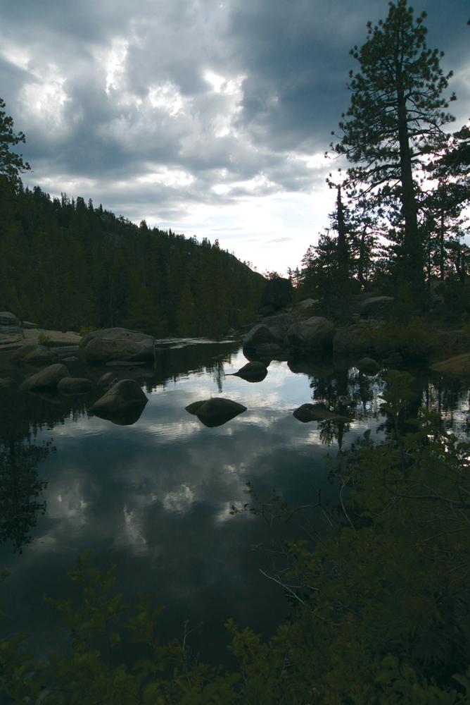
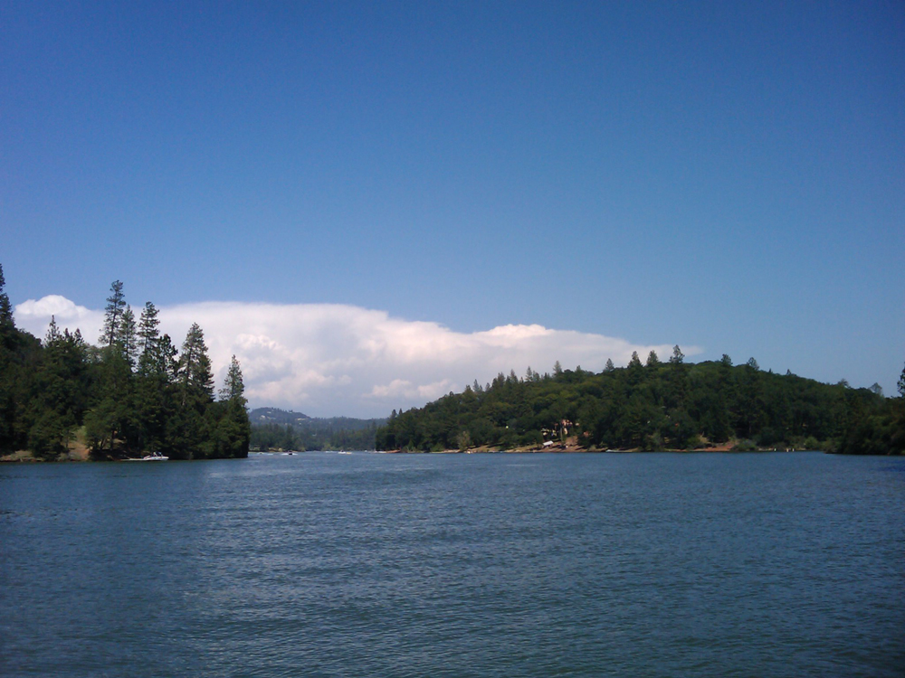
Spaulding Lake
Photo by Bob White
The Watershed at a Glance
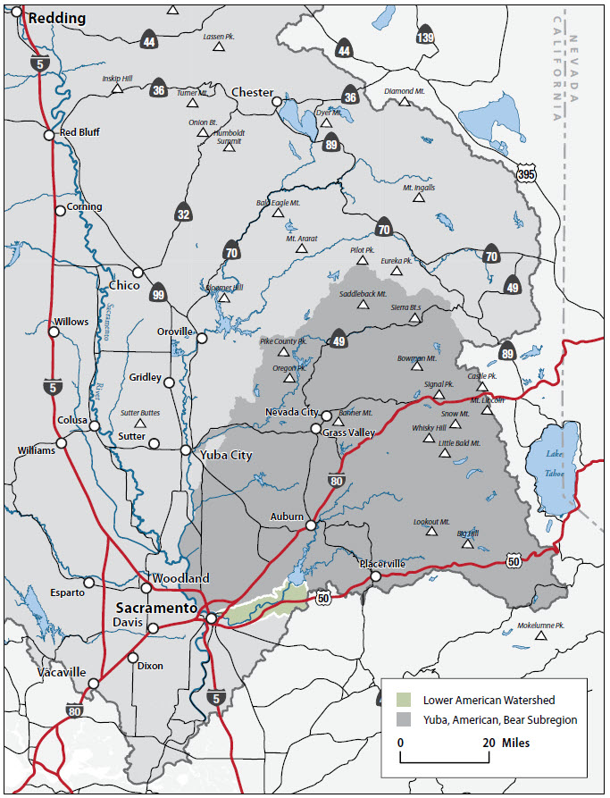
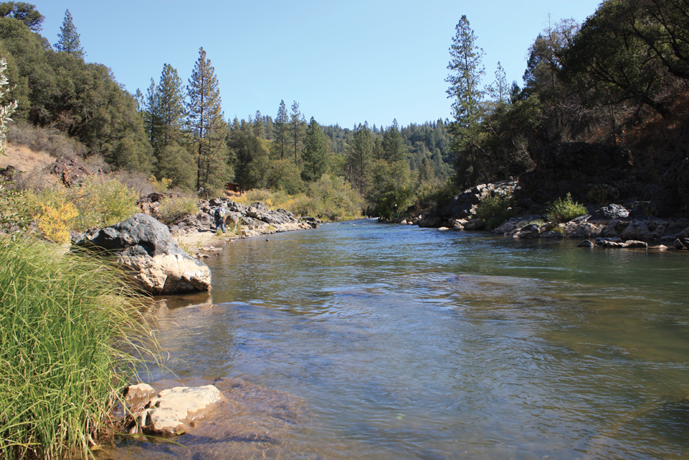
The Bear River is the second largest tributary to the Feather River, with a watershed area of 300 square miles. The river stems from the Sierra Nevada, forming the boundary between Nevada and Placer Counties for much of its course. The Bear River Watershed is wedged between two much larger watersheds, the Yuba to the north and American to the south. The watershed is heavily managed for water conveyance for agricultural water supply and hydropower development that serves the western foothills region and beyond. Areas of the watershed have been severely degraded by historical hydraulic mining and mercury contamination. The Empire Mine—one of the largest California gold mines, and Beale Air Force Base are located in the watershed.
Hydrology
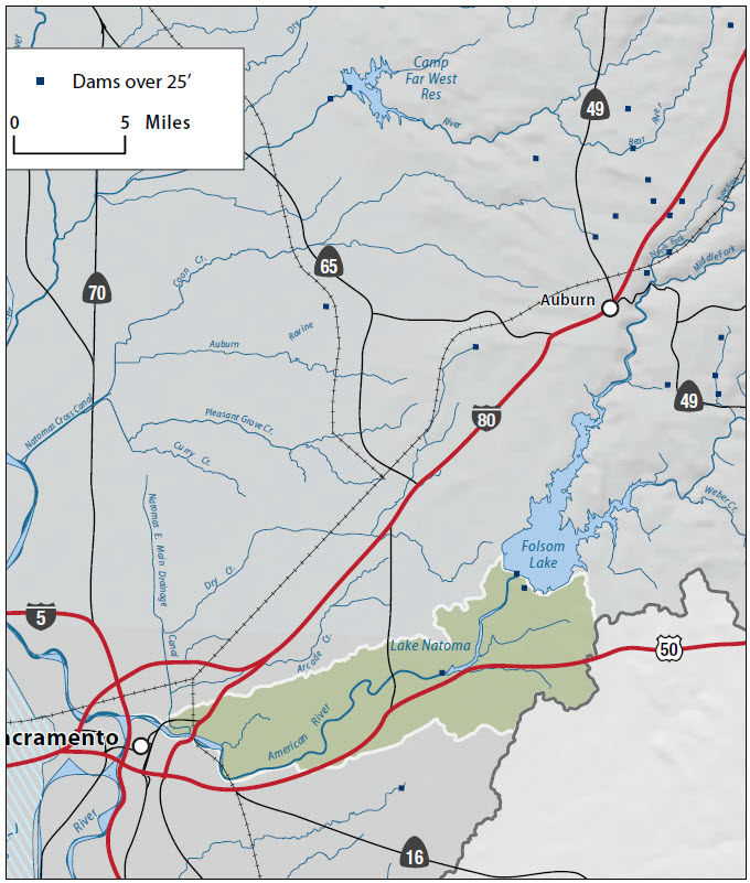
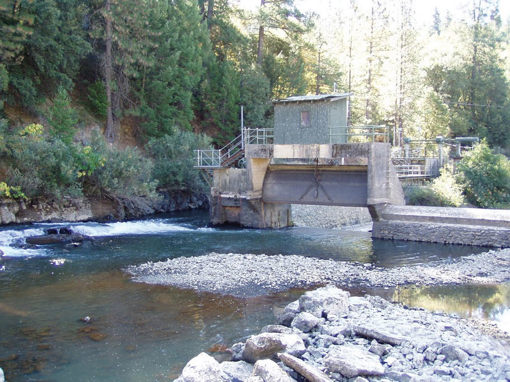
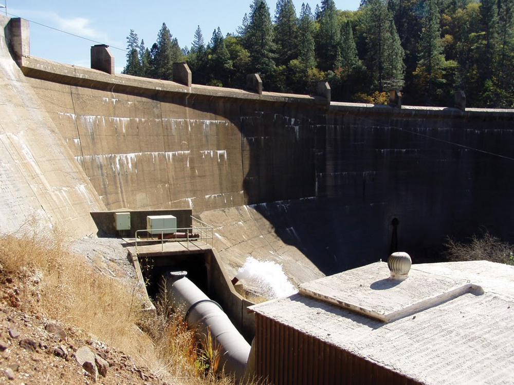
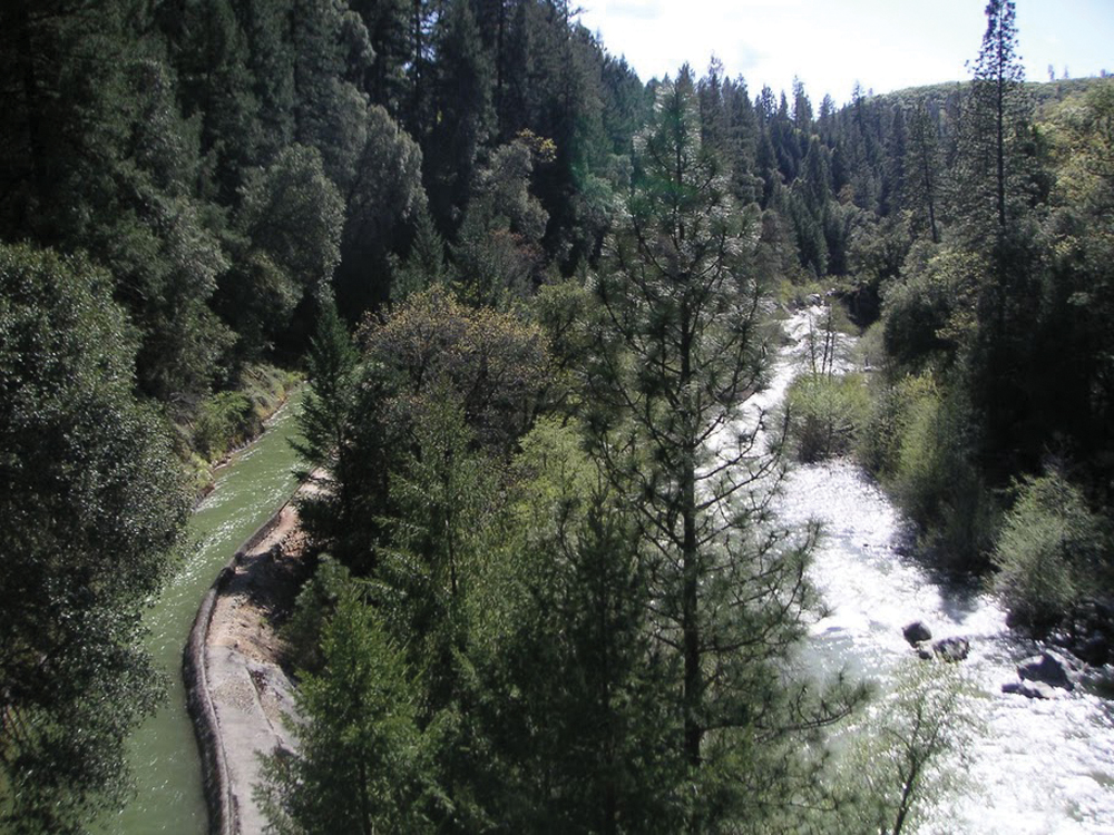
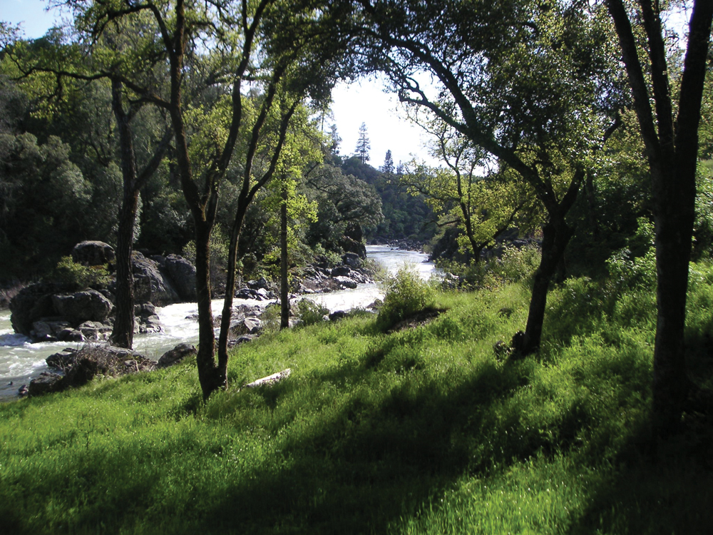
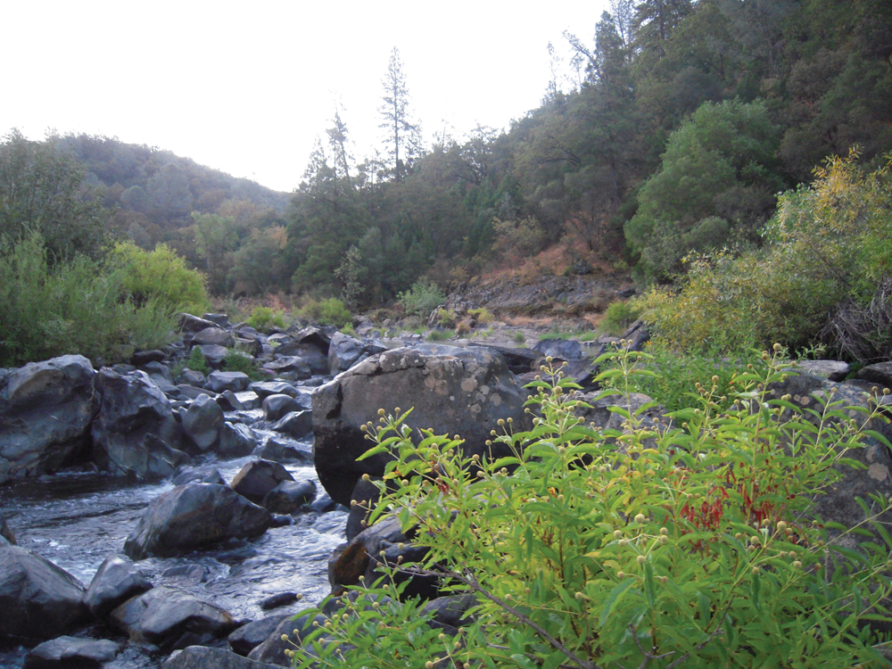
The Bear River originates about 20 miles west of the crest of the Sierra Nevada in northern Placer County within the boundaries of the Tahoe National Forest. The Bear River is fed by the Drum Canal from Spaulding Lake (located on the South Yuba River) which enters the river at the Drum Afterbay, a few miles downstream of the headwaters. The small reach above the Drum Afterbay is termed the Upper Bear River. Flowing out of the Drum Afterbay is the Middle Bear, which enters Dutch Flat Reservoir where the waters of the Boardman Canal enter after running through Alta Powerhouse. The Bear River continues to roughly parallel I-80. Just before the Bear River flows into Rollins Reservoir, it merges with Steephollow Creek, the largest tributary in the upper watershed. The Bear River discharges from Rollins Reservoir and flows southwest into Lake Combie near the community of Meadow Vista and near an area with heavy development pressure. The Bear River turns west and is fed by Wolf Creek and then enters into Camp Far West Reservoir, the largest water body in the Bear River Watershed. The Bear joins the Feather River south of Yuba City/ Marysville. The Bear River contains a large volume of mining sediment stored in its main channel that is subject to continual erosion. The high volume of mining sediment, in combination with restricting levees, has caused the Lower Bear channel to become deeply incised.
In highest rainfall years, winter flows average 3,400 to 5,600 cfs. In normal years, winter flows are 600–800 csf. In the driest years, flows average only 20–65 cfs in winter months, down to 0 cfs in all other months. Bear River flow patterns are typical of foothill streams with high winter and spring flows and very low summer and fall flows. Bear River flows are regulated almost entirely by several storage reservoirs and numerous diversions.
Water Quality
Areas of the watershed have been severely degraded by historic hydraulic mining and mercury contamination. Five waterways within the watershed are listed under the Clean Water Act Section 303(d) list of impaired waterbodies for mercury contamination (Upper Bear River, Steephollow Creek, Lake Combie, Wolf Creek, French Ravine, Camp Far West); Wolf Creek and French Ravine are listed for fecal coliform and bacteria, respectively.
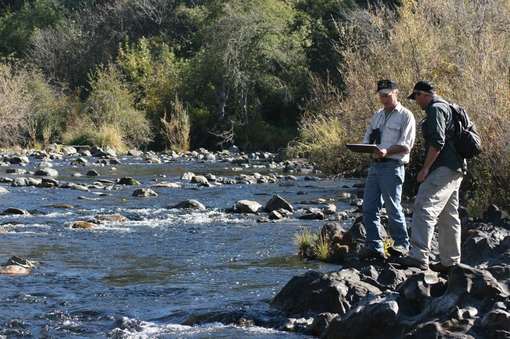
Fish and Wildlife
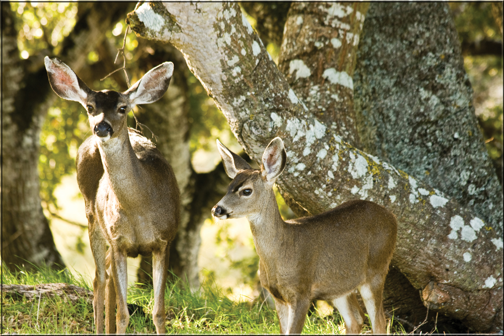
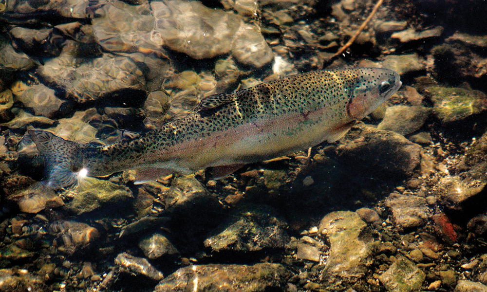
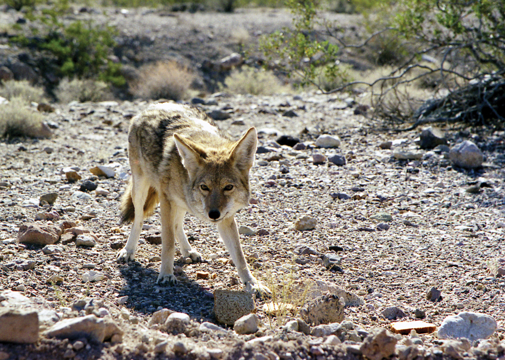
The Bear River once supported substantial salmon and steelhead runs, but because of low flows in the lower river below the South Sutter Irrigation District Diversion Dam, no self-sustaining salmon runs presently exist, and the status of steelhead is unknown. However, the river does support a popular fishery for rainbow and brown trout, and flyfishing clubs are involved in an ongoing stream habitat improvement project. Wildlife frequently spotted along the river include great blue heron, egret, mallards and other waterfowl, western rattlesnake, gray squirrel, river otter, beaver, turkey, mule deer, coyote, and mountain lion.
Vegetation
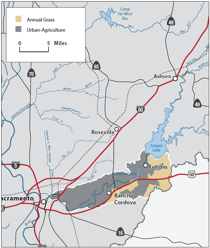
Mixed conifer dominates the upper watershed, which includes ponderosa pine, Douglas-fir, and incense cedar among others. The Upper Bear River valley also supports excellent wet meadow and riparian habitat. The watershed is also home to oak woodlands and chaparral communities transitioning to grassland and agricultural lands in the lower elevations. Of the vegetation types most frequently documented to contain rare and unique species, the foothill woodland and chaparral communities have been particularly damaged and fragmented by changes in agriculture and development.
Life in the Watershed
There are more than 990 miles of streams, creeks, and rivers within the Bear River Watershed. The watershed also contains more than 2,000 miles of roads, creating one of the highest road densities of any watershed in the Sierra Nevada region. Consequently, approximately 45% of the streams in the watershed are within 100 meters of a public road.
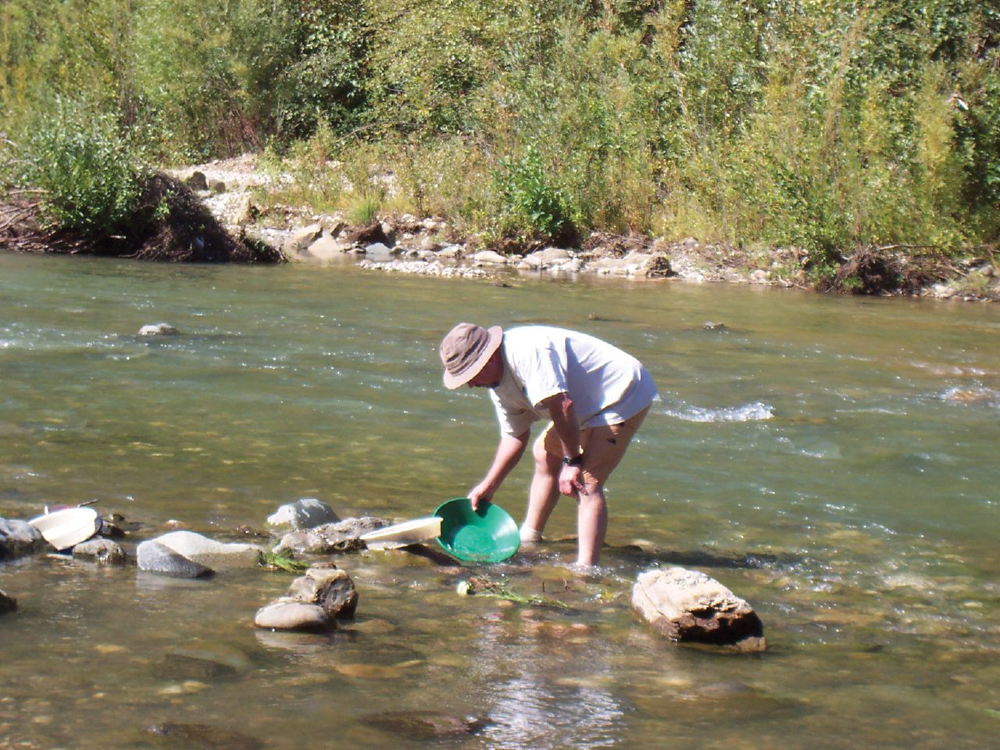
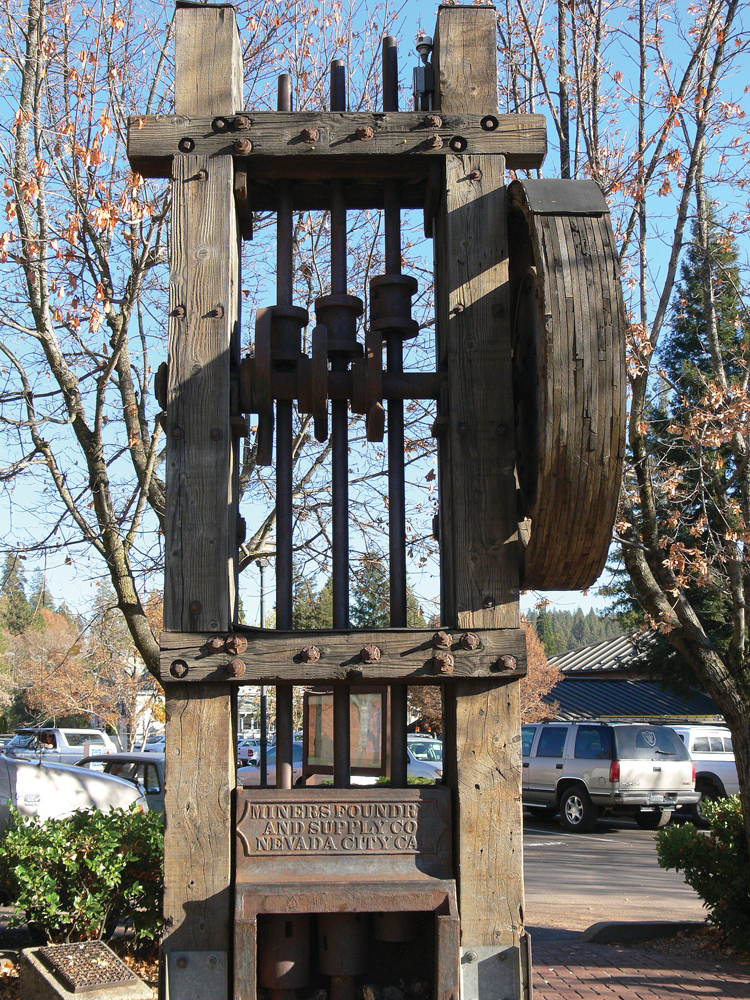
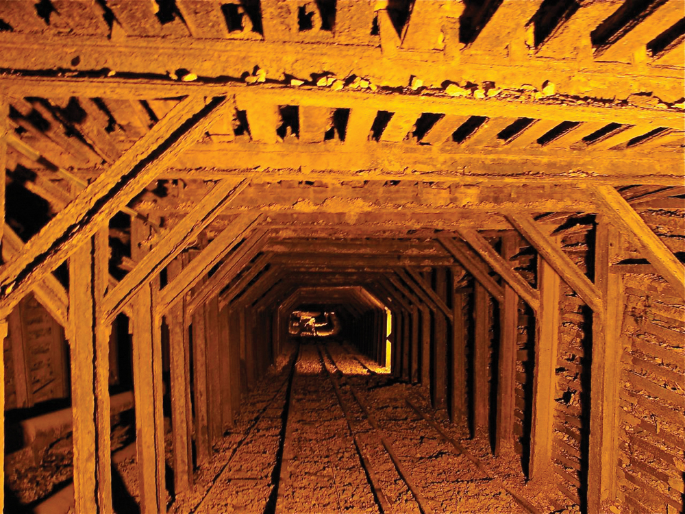
In the upper watershed, PG&E maintains a picnic ground, visitor center, and the Sierra Discovery Trail. The upper watershed also includes the community of Grass Valley (population ~11,000), home to the Empire Mine State Historic Park and Empire Mine—one of the oldest gold mines in California. Historical reminders of Native Americans and the gold-rush era are woven throughout the landscape, and gold prospectors continue to travel to the area to pan for gold. Below Camp Far West Reservoir, the Bear River flows through privately owned land that is developed largely for agriculture. It also flows through Beale Air Force Base, built in 1942 and home to the 9th Reconnaissance Wing of the United States Air Force. The Bear River then joins the Feather River in a rural setting south of Yuba City.

Management Objectives
An IRWM plan for the Cosumnes, American, Bear, and Yuba Rivers was adopted in December 2006. The plan was developed by a diverse group of stakeholders throughout the region and includes a number of goals and objectives for the four watersheds summarized below:
- achieve sustainable surface and groundwater supply;
- provide multiple benefits from management of water resources, diversions and infrastructure;
- reduce impacts from catastrophic fire;
- protect infrastructure, equipment, and property from flooding;
- protect and improve watershed resources through land use practices;
- manage sediment for water resources, infrastructure and habitat value;
- reduce mercury contamination in waterways;
- reduce contamination of surface and groundwater resources; and
- protect and improve fisheries and aquatic biota through water resources management.
Management Organizations Active in the Watershed
CABY
CABY is a collaborative planning effort that adopted an IRWM plan in December 2006, in response to the passage of Proposition 50. As mentioned earlier, the CABY region includes the Cosumnes, American, Bear, and Yuba Rivers. CABY comprises more than 30 organizations, representing water supply, conservation, recreation, agriculture, and community interests, as well as federal and local government. CABY is pursuing a planning grant through the IRWM Program in order to update their Plan.