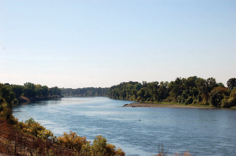
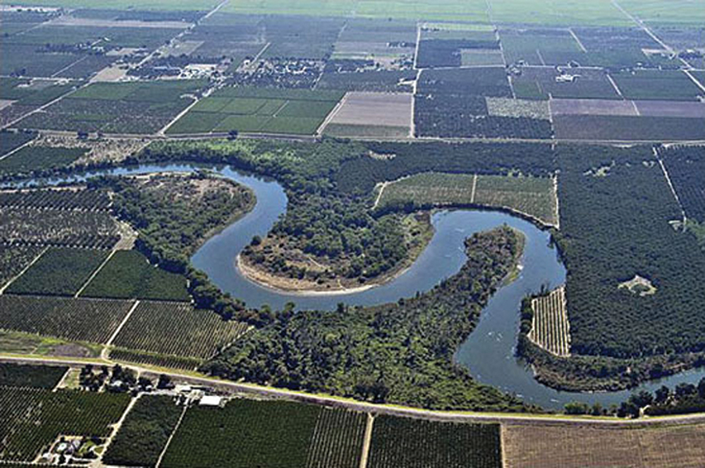
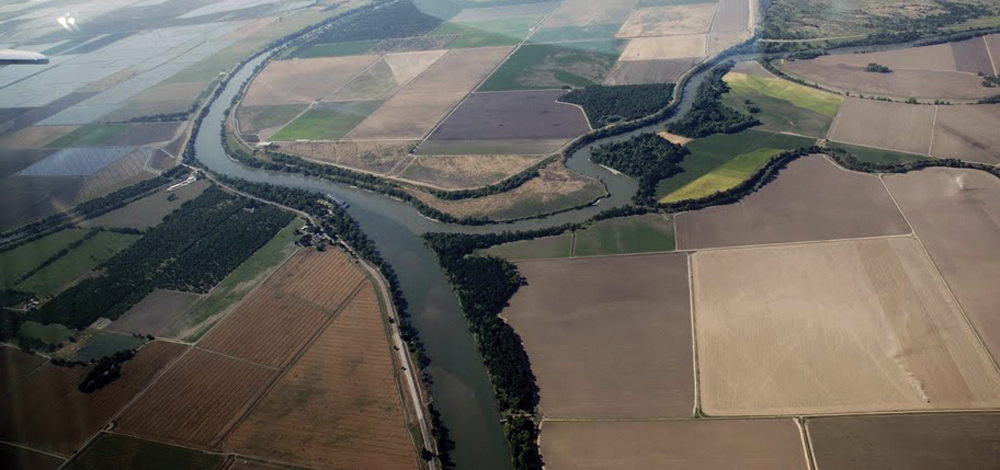
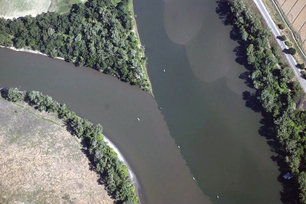
Lower Feather River north of Marysville
The Watershed at a Glance
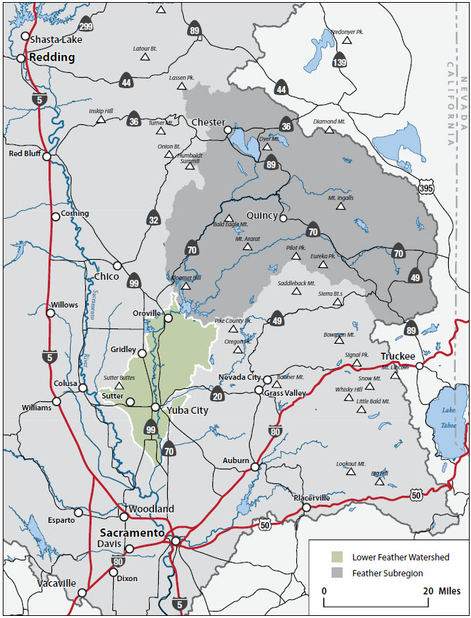
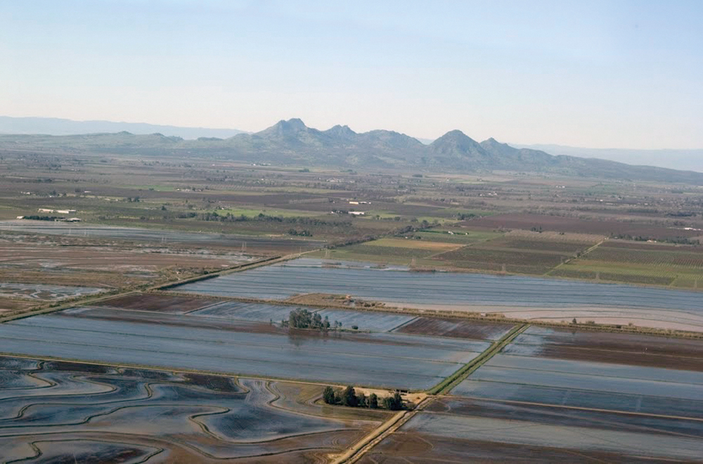
The Lower Feather River Watershed begins downstream of Lake Oroville and includes that area tributary to the Feather River as it flows approximately 60 miles north to south before entering the Sacramento River at Verona. The Lower Yuba and Bear Rivers also join the Lower Feather within this river reach; however, these two watersheds are discussed in the American River Subregion section because of their similarities. The Lower Feather River Watershed encompasses approximately 803 square miles of Sutter, Yuba, and Butte Counties. River flows are regulated for water supply and flood control by the State Water Project through releases at Oroville Dam. The river is almost entirely contained within a series of levees as it flows through the fertile agricultural lands of the Sacramento Valley. The watershed is rich in water, farmland, fishery resources, and recreation opportunities. Significant management issues include concerns over growth (farmland conversion to urbanization), demands on water supply, preservation of water quality and habitat, and potential risks from fire and floods.
Hydrology
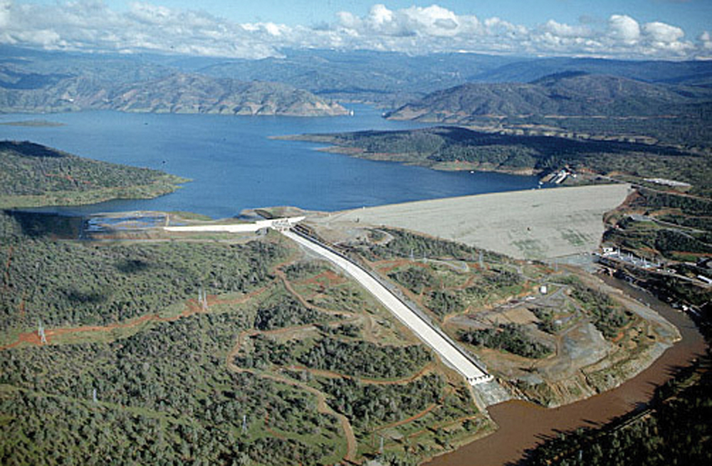
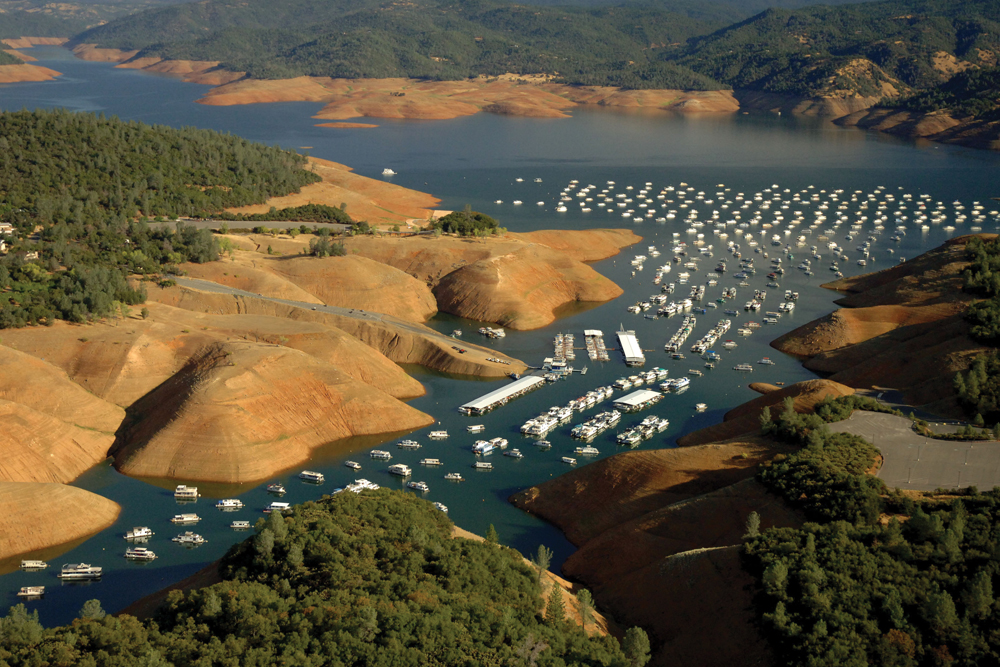
The Lower Feather River Watershed begins from the waters behind the Oroville Dam, the tallest dam in the United States. The dam creates Lake Oroville, generates electricity, and provides drinking and irrigation water for central and southern California. The dam, lake, and other facilities are owned and operated by DWR and are part of the State Water Project. There are approximately 190 miles of major creeks and rivers, 695 miles of minor streams, and 1,266 miles of agricultural water delivery canals in the Lower Feather River Watershed. Hydrology also is influenced by operation of the Sutter Bypass, which brings Sacramento River water through Butte Slough and into the Lower Feather River. This system is designed, in part, to relieve floodflows in the Sacramento River. The USGS gaging station at Oroville shows daily flows in the Lower Feather River (post–Oroville Dam) are held at about 300 cfs. Periodic high flow releases from Lake Oroville are in the 50,000 to 100,000 cfs range with an all-time high of 150,000 cfs in 1986.
There are four major groundwater subbasins within the larger Sacramento Valley Groundwater Basin: East Butte, North Yuba, South Yuba, and Sutter Subbasins. In this area, groundwater is an important component of overall agricultural water supply.
Water Quality
Water quality in the Lower Feather River Watershed is heavily influenced by agricultural and municipal land and water use in the watershed. The Lower Feather River is listed on the Clean Water Act Section 303(d) list of impaired water bodies for temperature, chlorpyrifos, diazinon, mercury, and unknown toxicity. Constituents of concern for groundwater are total dissolved solids, nitrate, and several other individual chemical constituents. Surface and groundwater quality is a concern for both fisheries and agricultural supply use. In October 2003, the Central Valley RWQCB established TMDL regulations for diazinon in the Lower Feather River. That document recommended three strategies for reducing diazinon loading: (1) reducing diazinon use, (2) reducing surface water runoff from sprayed orchards, and (3) delaying and/or filtering orchard runoff containing diazinon. Recent monitoring (2006 and 2007) indicated diazinon loading to the Lower Feather has been reduced significantly.


Vegetation
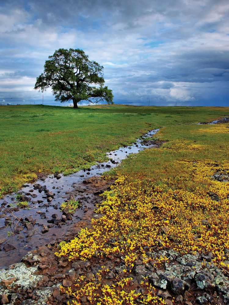
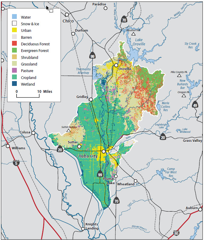
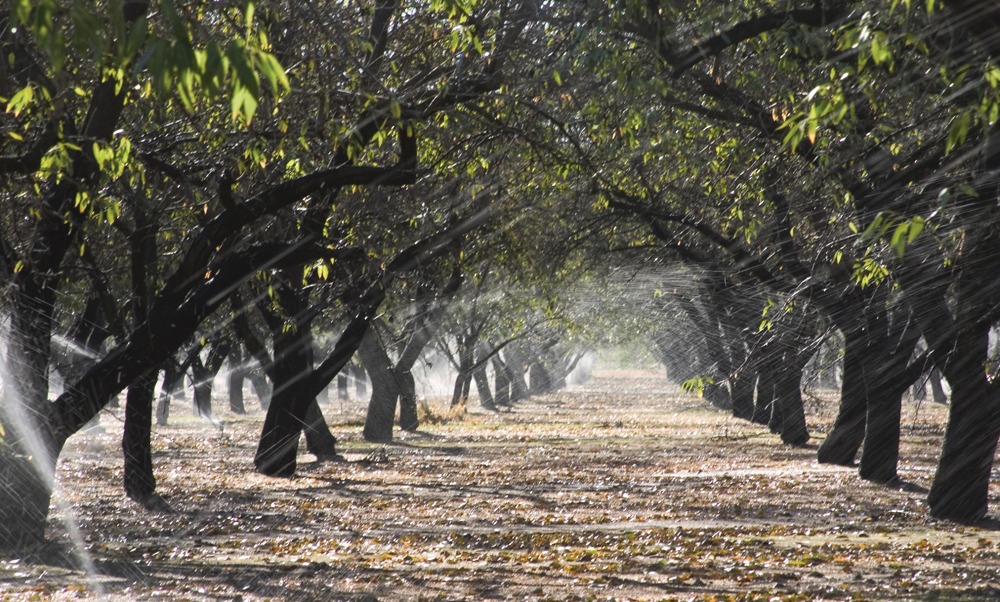
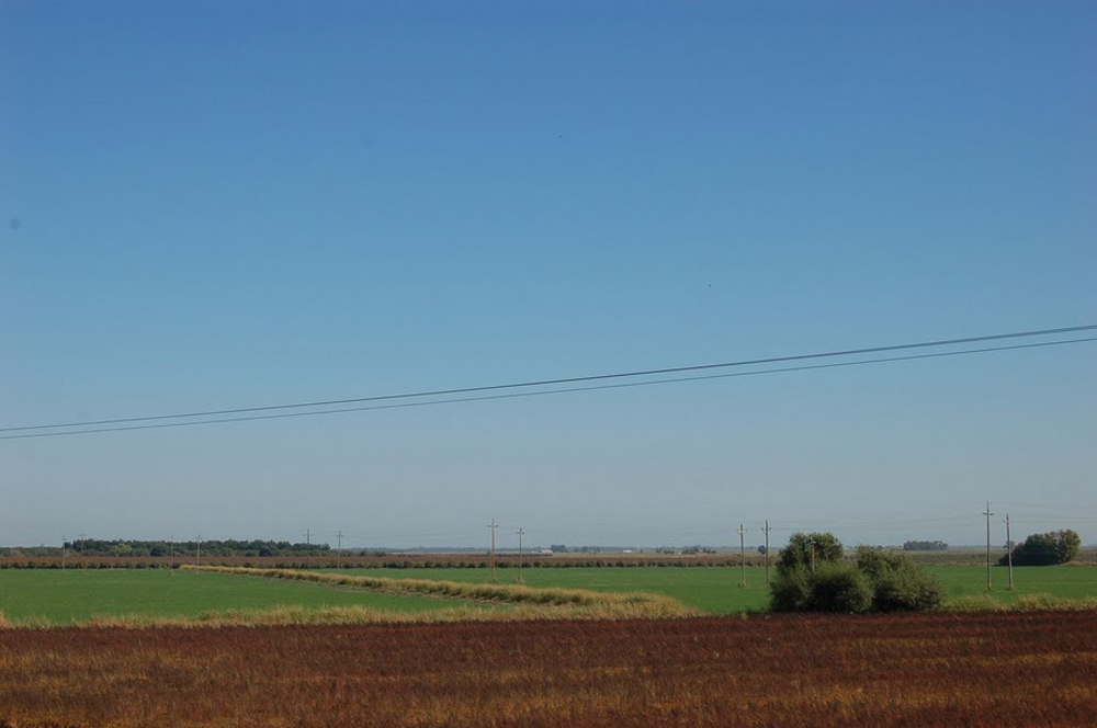
The watershed supports several primary terrestrial communities interspersed with wetland habitat types. The foothills in the north and east portions of the watershed generally consist of blue oak woodlands with scattered chaparral and other shrub-dominated communities. The Central Valley portions of the watershed are mostly in irrigated agriculture, including orchards, vineyards, and row crops. Annual grasslands dominate areas where land is not being farmed. Valuable riparian, vernal pool, and wetland habitat is located along river corridors and in annual grassland depressions. Wildfire is a natural part of conifer, chaparral, and oak woodland ecosystems and is now a major management concern, partly because of expanding residential land use and the many years of fire suppression policies.
Fish and Wildlife
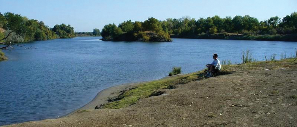
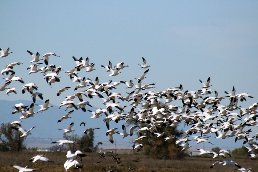
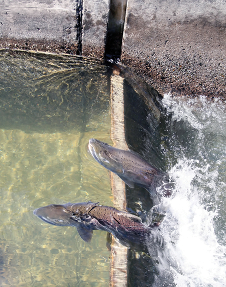
The watershed supports a variety of native and nonnative fish species, including some federally and statelisted species of concern. Common fish species include sturgeon, salmon and steelhead, Sacramento pikeminnow, catfish, carp, and six species of bass. Special-status fish include Central Valley Chinook salmon, Central Valley steelhead, green sturgeon, hardhead, and Sacramento splittail. The Central Valley Chinook salmon’s commercial, recreational, and cultural value has made it one of the most important watershed resources. Recent data estimate that the number of adult Chinook salmon returning to spawn in the Lower Feather fell below 20,000 in 2008, down from 60,000 in 1998 and almost 200,000 in 2001. (don’t have 09 data, just go with the #s you have – in most waters, 09 was similar to 08) The Feather River Fish Hatchery located below the Oroville Dam was built in 1967 in an effort to mitigate for loss of salmon and steelhead habitat eliminated by the construction of Oroville Reservoir.
Life in the Watershed
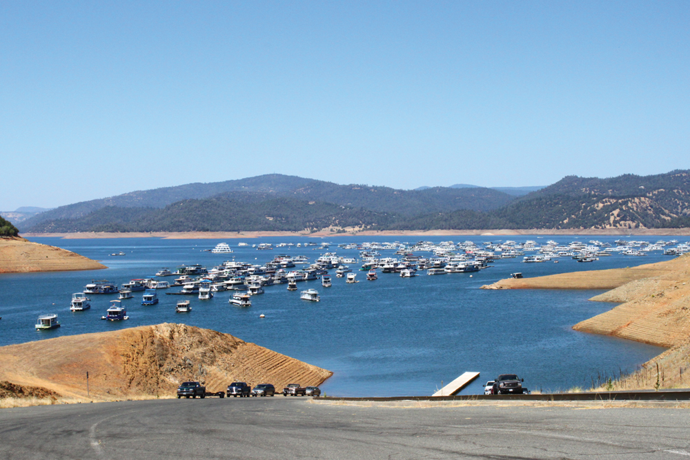
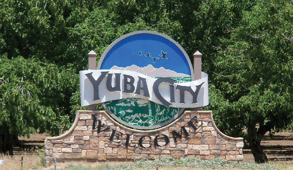
Expanding urban centers in the watershed include Yuba City (population 58,400), Marysville (population 12,600), and Oroville (population 13,300). Population in this tri-county area is expected to double in the next 40 years. Agriculture is a significant source of jobs and revenue; income from agriculture and timber production exceeded $1.3 billion in 2005. Rural outdoor recreation is important in the watershed, with most activities centered around rivers, creeks, and lakes. Multiple private and public entities provide campgrounds, marinas, hunting clubs, and resorts to the general public.
Management Objectives
In February 2010, a partnership of Sutter, Yuba, and Butte County RCDs, together with the City of Yuba City and other watershed stakeholders, completed a Lower Feather River/Honcut Creek Watershed Existing Conditions Assessment. That report, in part, was meant to lay the groundwork for development of a Lower Feather River Management Plan. Efforts are underway to establish a more formal Lower Feather River planning partnership, and it is expected that a watershed management plan will evolve from the IRWM Program.
Based on the Existing Conditions Assessment and stakeholder input received by the partnership, the Watershed Management Plan will likely focus on the following issues:
- surface and groundwater quality and quantity (i.e., 303(d) listings and supply needs of agriculture and urban use);
- river hydrology (flood management, instream flow requirements for anadromous fish and other aquatic life, and protection/ enhancement of the riparian corridor))
- better management of fuel loading and risk of catastrophic wildfire in the urban/rural interface area; and
- population growth and agricultural land conversion.
Management Organizations Active in the Watershed
Because of the watershed’s valuable water, farmland, and fish and wildlife resources, many agencies and local organizations have been actively involved in management of the Lower Feather Watershed. Most notably these include DFG, DWR, CAL FIRE, NRCS, USFWS, and the City of Yuba City. The following RCDs also have an active role in Lower Feather River Watershed management activities.
Sutter, Butte, and Yuba County RCDs
The three county RCDs have joined to establish the Lower Feather River Partnership for the purpose of developing a well-defined and achievable set of management goals and needed actions for this watershed area. The recently completed Existing Conditions Report was the first step in that process. The partnership will be expanded to include other key stakeholders to guide the preparation of a watershed management plan. This effort will interface with other planning processes in the watershed including: The Sacramento Valley IRWM Program, CABY IRWM Program, Five Counties IRWM Program, city and county general plans, fire hazard mitigation plans, and habitat conservation plans.