Lower Stony Creek
The Watershed at a Glance
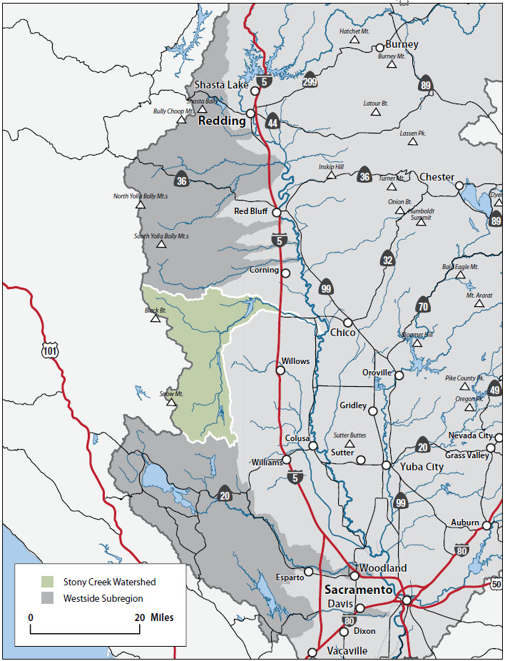
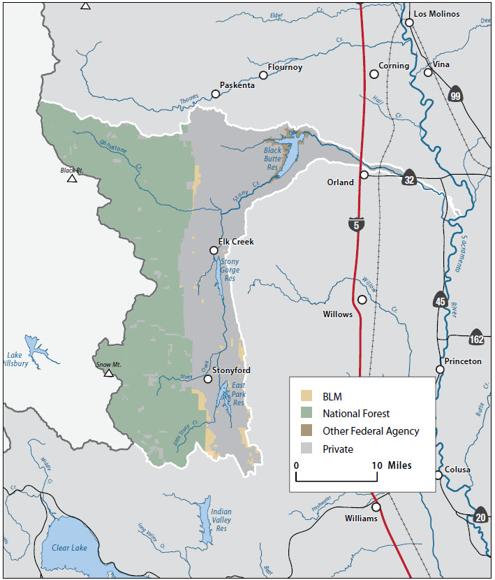
Stony Creek is the second largest tributary on the westside of the Sacramento Valley entering the Sacramento River south of Hamilton City. The watershed spans four counties (Glenn, Colusa, Tehama, and Lake) with the majority of the watershed in Glenn County. The watershed is roughly divided into Upper Stony Creek and Lower Stony Creek, with Black Butte Reservoir forming the boundary.
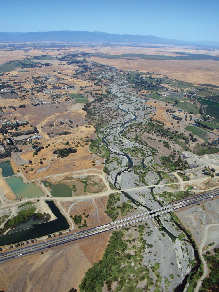
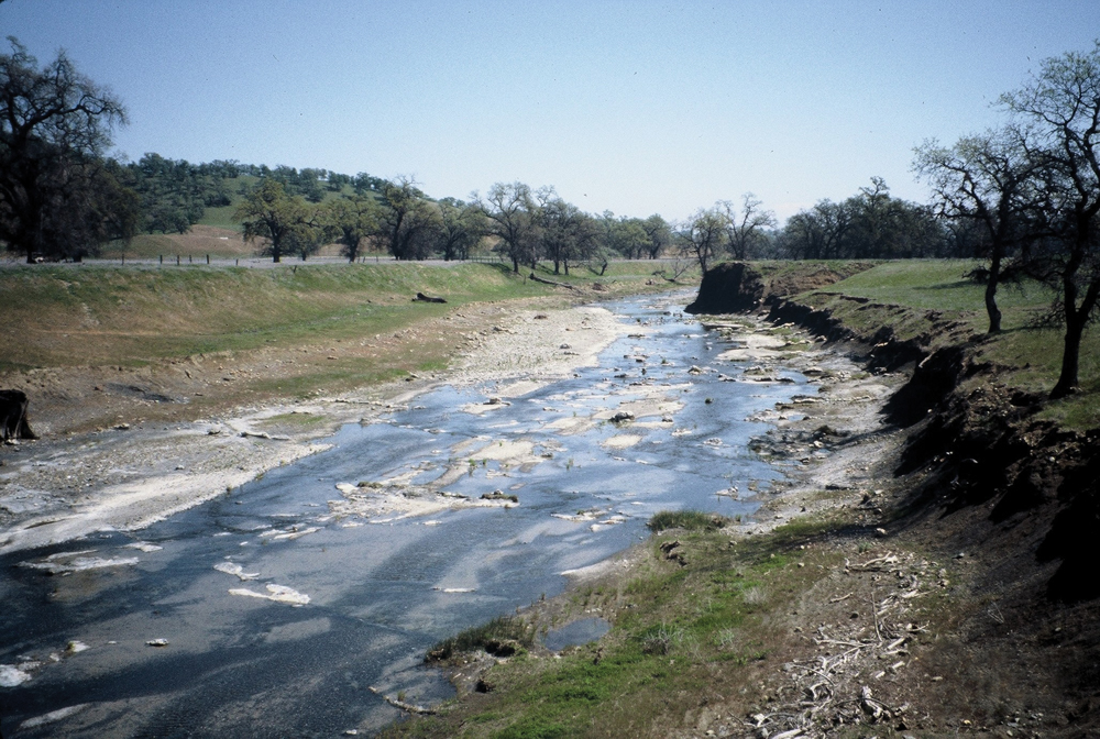
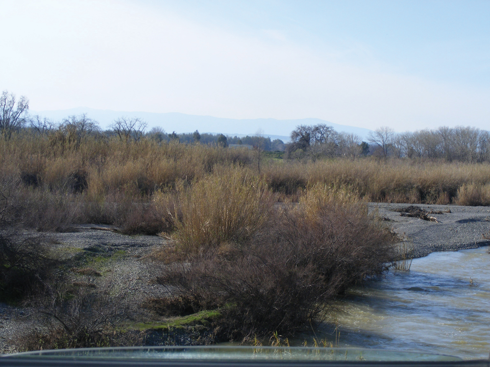
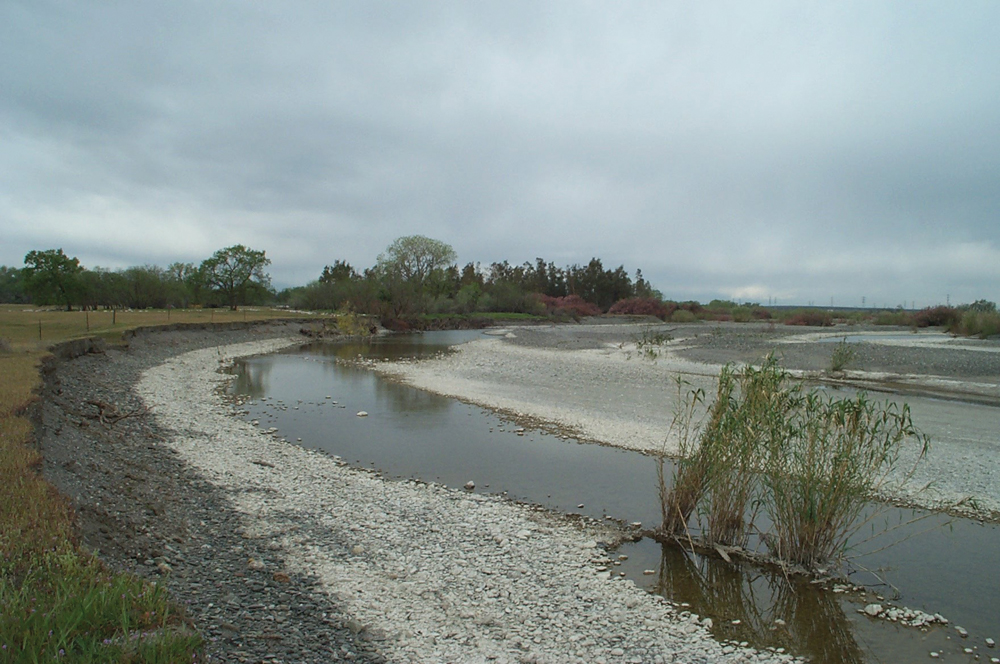
The majority of the upper watershed is publicly owned (Mendocino National Forest), while most (96%) of the lower watershed is privately owned agricultural land. Black Butte Reservoir is operated for flood mitigation, agricultural water supply, and recreation. Lower Stony Creek, flowing 24 miles from Black Butte to the Sacramento River, is believed to have had some historical significance for juvenile salmon rearing, but this use currently is limited by flow alterations, poor habitat, and temperature conditions. Lower Stony Creek in particular has had a long history of management concerns that presently are focused on three general issues: (1) channel erosion, (2) invasive saltcedar (Tamarisk spp.) and giant reed (Arundo donax), and (3) fluctuating flow releases from Black Butte Dam.
Hydrology
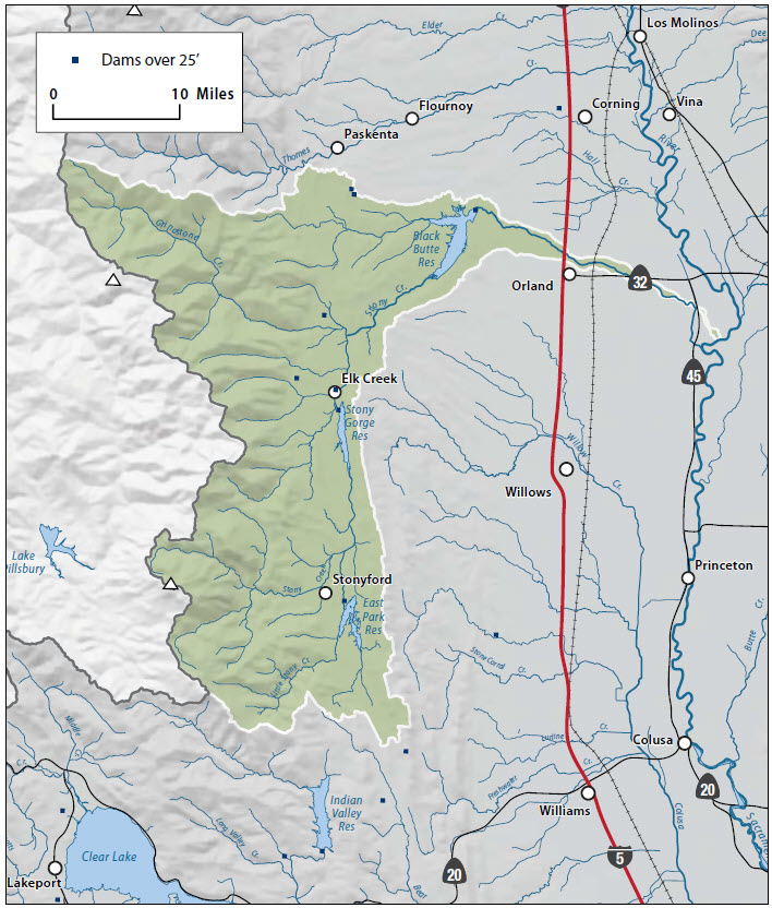
Streamflows in Upper Stony Creek are regulated by East Park and Stony Gorge Reservoirs (both 50,000 acre-foot capacity). Grindstone Creek, the largest tributary, joins Upper Stony Creek near the Grindstone Rancheria, located near the junction of County Road 306 and Forest Highway 7 (also known as Highway 162) and then into Black Butte Reservoir. Flow in Upper Stony Creek typically ranges from 0 to 50 cfs during the summer period with occasional higher peaks resulting from upstream reservoir operations.
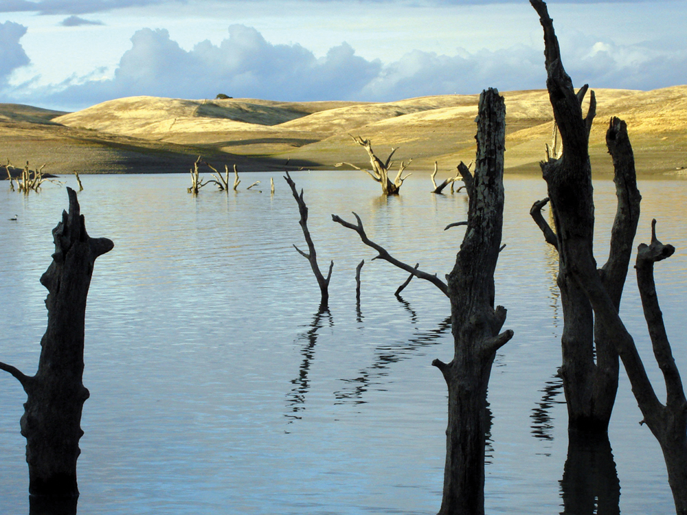
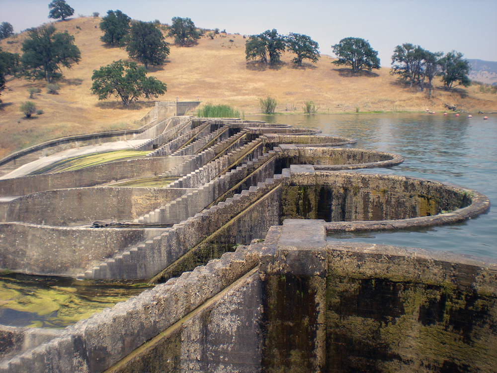
Black Butte Dam was completed by the USACE in 1963 with a design capacity of 160,000 acre-feet. Reservoir sedimentation has reduced the capacity to around 130,000 acre-feet. The USACE operates the reservoir from October 15 to March 15 for flood control, and USBR operates it from March 15 to October 15 for irrigation supply.
Lower Stony Creek flows are controlled by releases from Black Butte Dam. The frequency and magnitude of flooding in Lower Stony Creek have been reduced significantly as a result of reservoir operations. Prior to Black Butte Dam, the 50-year flood was 80,000 cfs. Current reservoir operations limit peak dam outflows to 15,000 cfs. Compared to pre-dam flows, post-dam flows are characterized by significantly decreased peak flows, longer duration “bankfull” flows, higher and more variable summer and early fall flows, and more variable, and more frequently near-zero, late fall and early winter flows.
Water Quality
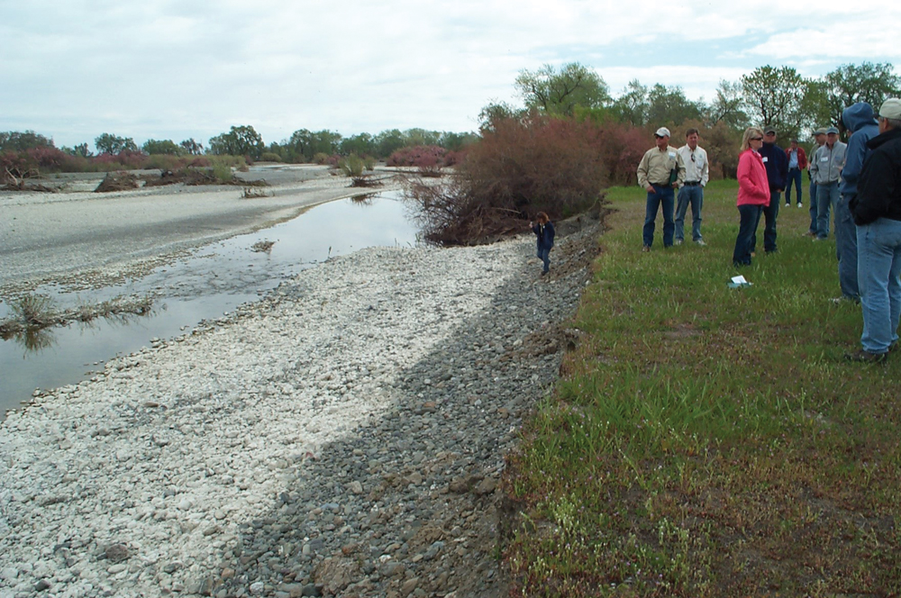
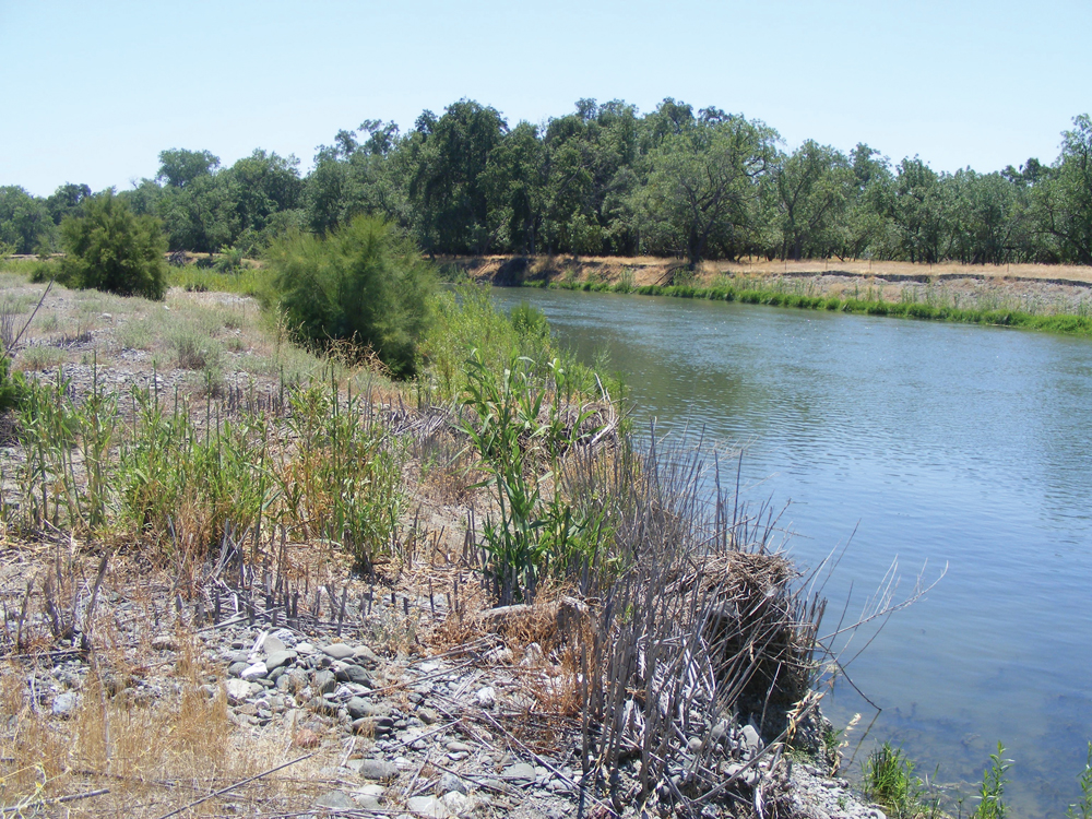
Data on Upper Stony Creek were collected from 1998 to 2002 by DWR from studies on East Park, Stony Gorge, and Black Butte Reservoirs. The principal water quality issue is mercury, which is known to be present in naturally occurring deposits in the upper watershed. Stony Gorge Reservoir is on the 303(d) list of impaired water bodies for mercury. There is also concern about metals from abandoned mines, elevated temperatures attributable to lack of riparian shade canopy, and high erosion/sediment discharge rates; however, mercury is the only documented impairment. Lower Stony Creek data come from DWR monitoring (1999–2005) and from site monitoring as part of the Irrigated Lands Regulatory Program. Elevated levels of the pesticides diazinon and simazine have been detected. Temperature is also a concern. Temperatures are coldest at the outlet from Black Butte Dam and increase downstream as affected by air temperature, solar radiation, shading, and channel geometry. These issues aside, the principal management concern in Lower Stony Creek is accelerated channel erosion resulting from the modified hydrologic regime and from the persistent growths of invasive giant reed and saltcedar.
Vegetation
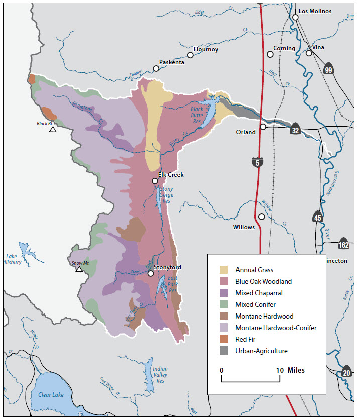
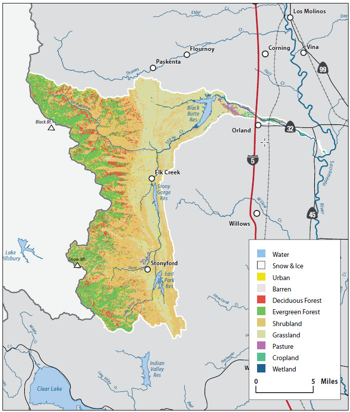
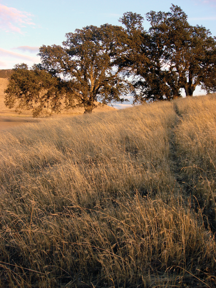
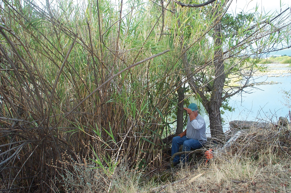
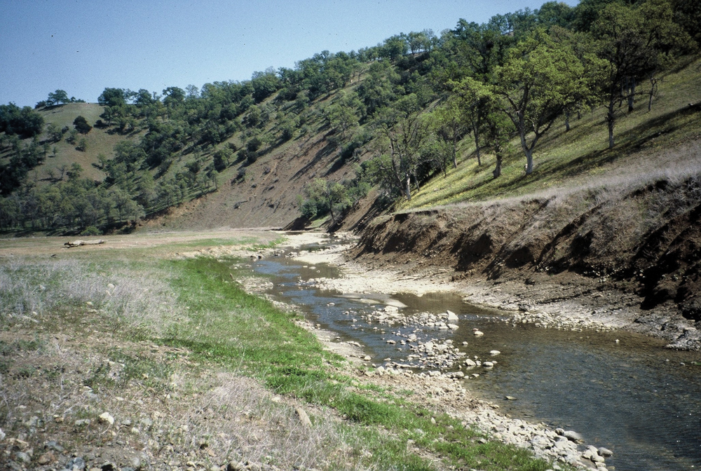
Historically, Native Americans in Upper Stony Creek intentionally burned the watershed’s rangelands on a regular basis. This prevented establishment of climax plant communities and maintained an abundant and diverse community of native grasses. European introduction of domestic livestock and a change in fire management eventually led to native perennial bunch grasses being replaced by exotic annual grasses. Today, a diverse mosaic of vegetation exists in the Upper Stony Creek Watershed. In the lower elevations, this includes a patchwork of grasslands, blue oak and valley oak, foothill pine, and chaparral. In upper elevations (above 2,000 feet), hardwood and conifer forests are dominated by species such as live oak, black oak, Douglas fir, and white fir. Vegetation in the foothill regions of Lower Stony Creek is similar to that in the lower elevations of the upper watershed. Prior to Black Butte Dam, riparian vegetation along Stony Creek occurred in a relatively continuous corridor from the Sacramento River upstream to the Coast Range. This corridor was dominated by willow and cottonwood. In recent times, giant reed and saltcedar have flourished in Lower Stony Creek, replacing much of the abundance and diversity of native riparian species.
Fish and Wildlife
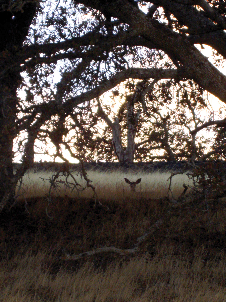
Fish species common to the streams and reservoirs of Upper Stony Creek include rainbow trout, hardhead, bass, catfish, and carp. Black Butte Reservoir supports a popular sport fishery for bass, catfish, and crappie. Lower Stony Creek is habitat for a total of 28 documented species—13 native and 15 exotic. Migratory species include steelhead trout, Chinook salmon, hardhead, and pikeminnow. Black Butte Dam blocks any upstream anadromous fish migration. The USFWS Anadromous Fish Restoration Program lists Stony Creek as high priority for increasing migratory salmonid populations that are currently adversely affected by temperature, hydrology, and channel habitat conditions. In addition to salmon and steelhead, special-status species in the Upper Stony Creek Watershed include valley elderberry longhorn beetle, western pond turtle, and foothill yellow-legged frog.
Life in the Watershed
Public lands, including the Mendocino National Forest, and BLM, and State Lands Commission lands make up a large percentage of the area in the upper watershed. Historically important, timber harvesting saw a dramatic decline in the 1990s, going from 85 million board feet to around 3 million board feet annually on National Forest lands. On the private ranch lands, cattle, sheep, and irrigated hayfields contribute to the commercial agricultural economy. The upper watershed is sparsely populated, the largest town being Stonyford with a population of 826 (2008). Lower Stony Creek Watershed is mostly private land and supports agriculture (dairy operations, orchards, and annual crops such as wheat, corn, and forage grasses), livestock grazing, gravel mining, and rural residences. The city of Orland south of Stony Creek has a population of 6,281 (2000).
Management Objectives
Key issues in Upper Stony Creek Watershed include erosion and sedimentation that affect reservoir storage capacity, fire and fuels management, rangeland health, and the proliferation of brushfields that have had an adverse effect on wildlife habitat quality and abundance. In Lower Stony Creek, concerns of landowners and resource agencies have long focused on degradation from past in-channel gravel mining, construction and operation of Black Butte Dam, and habitat deterioration related to the spread of invasive giant reed and saltcedar. There is a long history of planning and assessment efforts. Beginning in 2000, landowners participated in a planning process facilitated by the Glenn County Planning Department to create a common vision and direction for creek management. That vision was to bring Stony Creek to a new state of equilibrium, halting accelerated bank erosion, clearing nonnative vegetation growth, and restoring the native riparian forest while respecting private property rights. Most recently, a Lower Stony Creek Watershed Restoration Plan was completed in February 2010 by the Glenn County RCD. Management goals and objectives are summarized as:
- reduce bank erosion;
- control nonnative plant species (giant reed and salt cedar); and
- respect private property rights.
Management Organizations Active in the Watershed
Mendocino National Forest and the Natural Resources Conservation Service
These two public agencies have been leaders in watershed planning and assessment in Upper Stony Creek. In November 2000, the National Forest completed the Upper Stony Creek Watershed Analysis Report that assessed current conditions and identified management issues on both public and private lands in the upper watershed. NRCS also has been active in assessment and project implementation. In 1989, NRCS prepared a watershed plan and environmental assessment for Upper Stony Creek that identified areas of accelerated sheet, rill, gully, and streambank erosion throughout the watershed and outlined project opportunities and estimated costs. They have assisted in implementing many of these projects, which include fencing, deferred grazing, prescribed burning, road improvements, and stock pond construction.
Glenn County Resource Conservation District
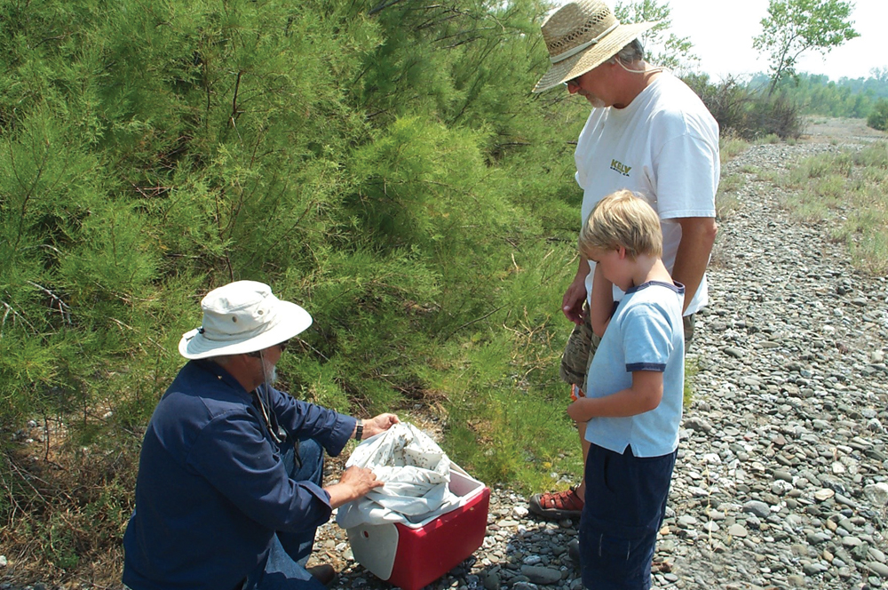
Established in 1989, Glenn County RCD has been active in planning and project implementation throughout the Stony Creek Watershed. In 2004, the RCD organized a local Technical Advisory Committee to help guide the Lower Stony Creek Watershed Project. The Lower Stony Creek Watershed Assessment and the Lower Stony Creek Watershed Restoration Plan have been completed, and the RCD has implemented a demonstration giant reed (Arundo donax) removal project on 20 acres below Black Butte Dam.