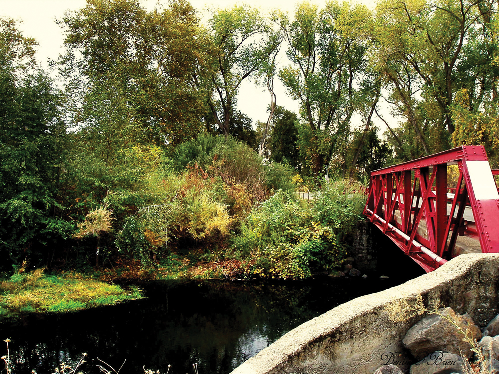
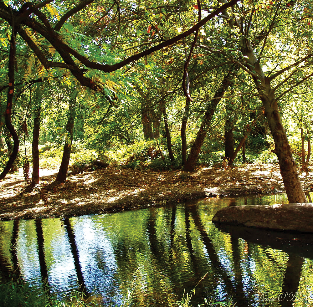
Upper Butte Creek
Introduction
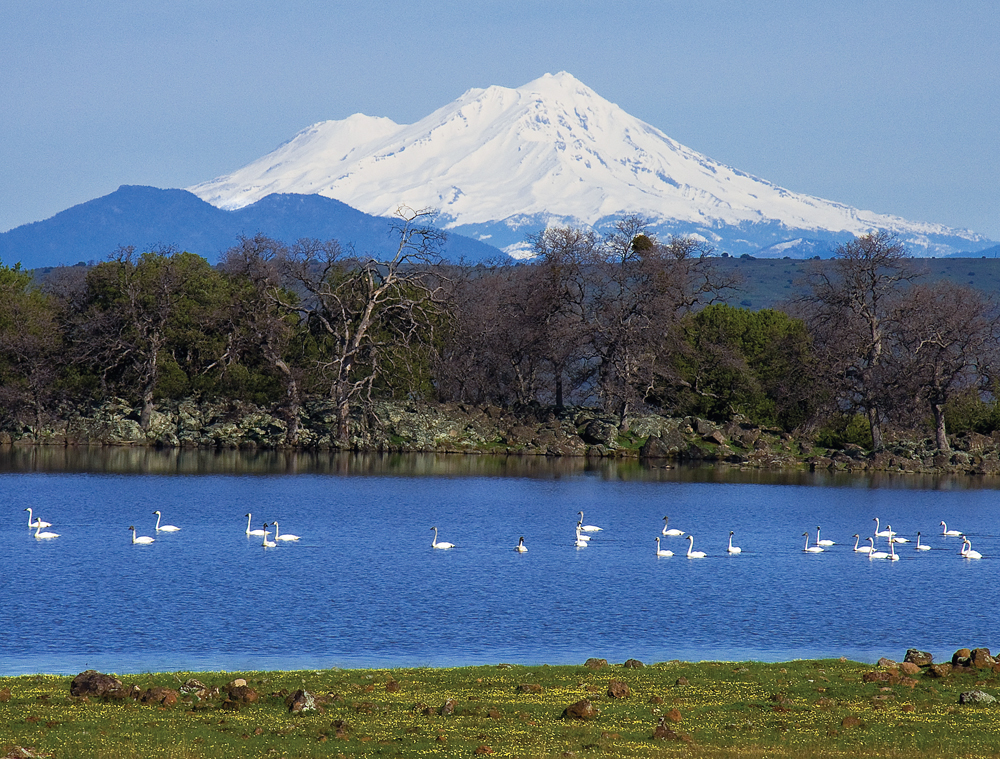
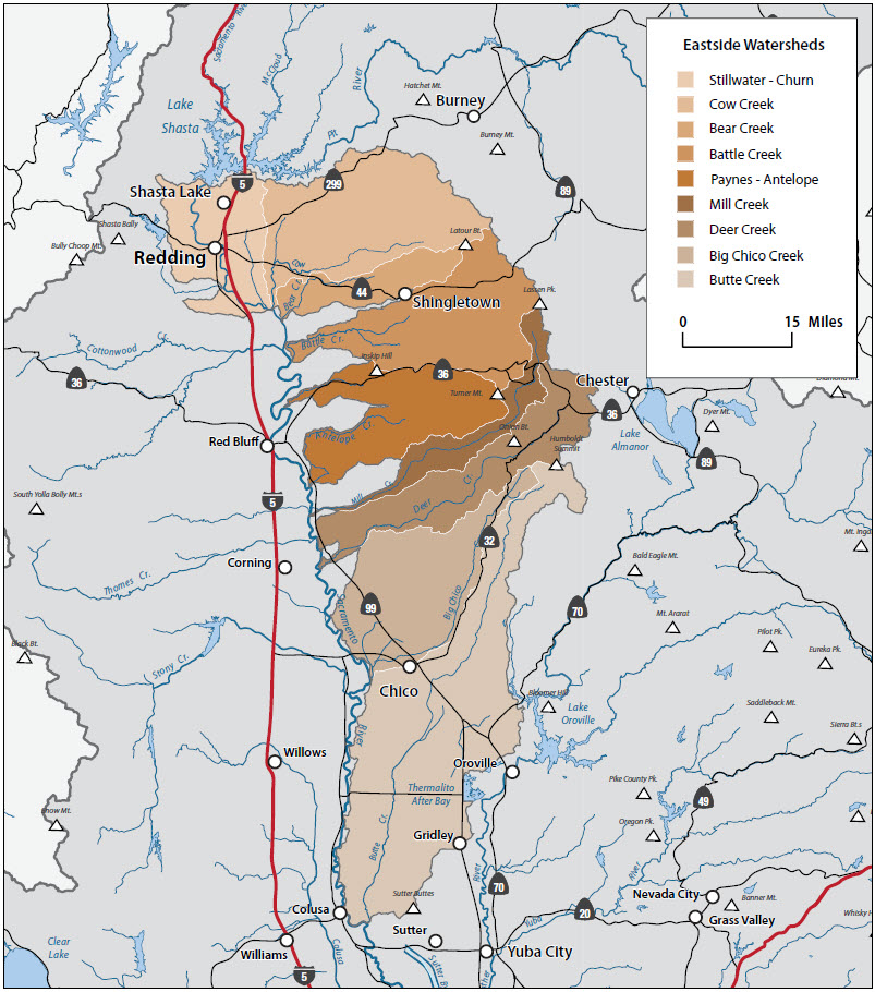
The Eastside Subregion includes all tributary watersheds on the east side of the Sacramento Valley starting in the north with the Churn/Stillwater Creek Watershed in east Redding and going south to and including Butte Creek. Relatively high-elevation source waters, fed by ample precipitation and snowmelt, provide mostly year-round flow in these streams through the watershed and into the Sacramento River. In the case of Battle Creek, Mill Creek, and Deer Creek, this streamflow is augmented by snow pack and subsequent runoff through the volcanic geology of the Mount Lassen area. This hydrology, in combination with the undammed, free-flowing state of these streams, makes this region a focal area for protection and enhancement of Sacramento River fall-run Chinook salmon, and the endangered spring-run Chinook salmon and steelhead trout.
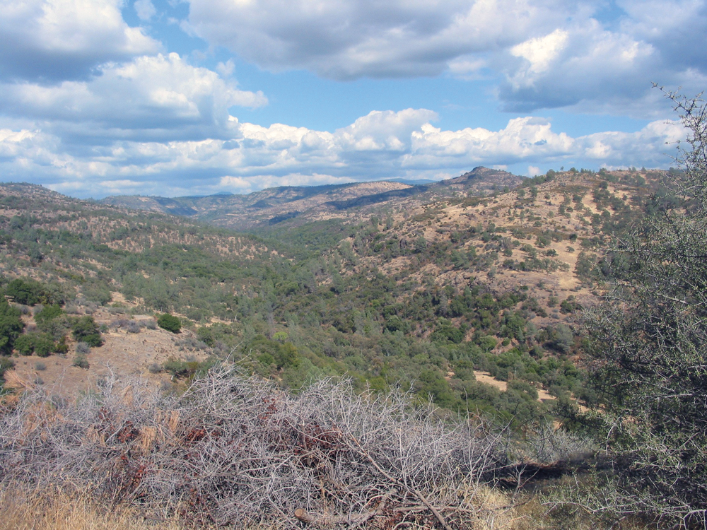
Upper elevations in this region are dominated by conifer forest and commercial timber production, and there are large tracts of National Forest and National Park land that offer public access for hunting, fishing, hiking, and camping. Mid-elevations are oak hardwood mixed with annual grassland, and mostly privately owned ranchland used for domestic livestock grazing. Because of the ample water supply and surface water diversions, irrigated pasture in the mid-elevations of this region is much more prevalent than on the west side of the Sacramento Valley. In the lower reach of most watersheds, near the Sacramento River, the land is in irrigated agriculture--orchards, rice, and row crops. This lower watershed area also has some of the most valuable wildlife habitat and includes vernal pools, riparian corridors, and wetlands. Outdoor recreation is important to the lifestyle and the economy throughout the subregion.
Unifying characteristics of the Eastside Subregion include:
- streams with hydrology characterized by high volume, year-round flow from ample precipitation in the forested uplands (rainfall and snow);
- streams that are free-flowing (absent of major water development projects) and provide some of the state’s most valuable anadromous fish habitat;
- resource-based economies (timber, grazing, and irrigated agriculture) that also are supported by outdoor recreation; and
- concern for preservation of open space, natural habitat, and a rural life-style.