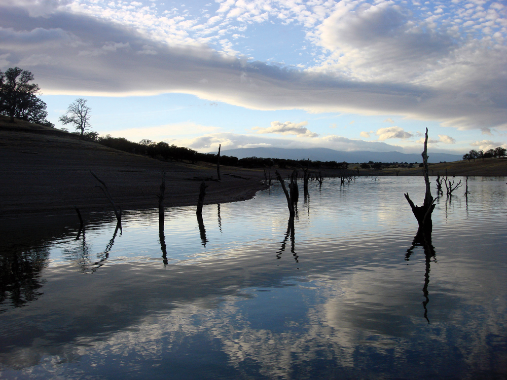
Below Shasta Bally
Photo by Eric Leslie
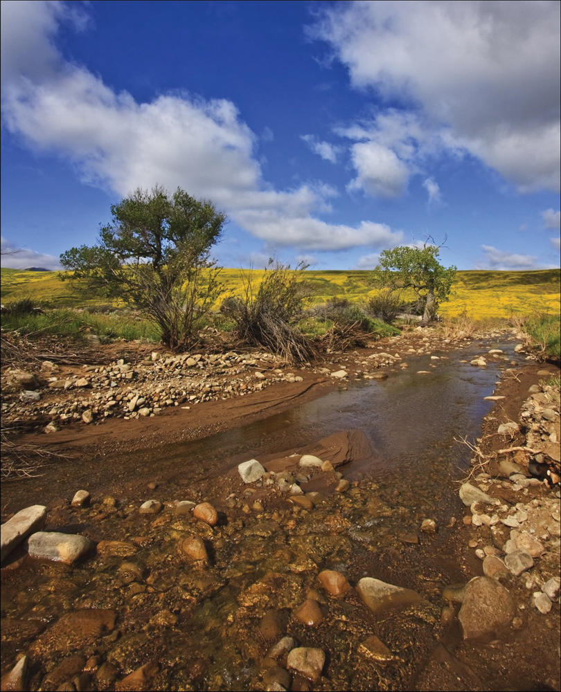
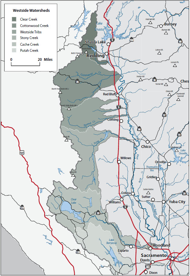
The Westside Subregion includes all watersheds on the west side of the Sacramento Valley starting with Putah Creek to the south and extending north to the Clear Creek Watershed west of Redding. Drainages from the west side of the Sacramento Valley typically originate in areas of moderate elevation (3,000 to 5,000 feet), and hydrology is driven by rainfall rather than by the extended spring-summer snowmelt that feeds rivers and streams on the east side of the valley. Streamflow in westside drainages tends to respond rapidly to rainfall/runoff events, resulting in a hydrology of short-term, high-volume flow during the wet season. Dry season base-flow typically declines rapidly and commonly ceases altogether by early or mid-summer in the lower reaches of these streams. The upland geology is erosive and this, together with a pervasive condition of active stream channel erosion, results in high levels of sediment transport from the westside watersheds into the Sacramento River. The significant water development projects in this subregion are Whiskeytown Reservoir (Clear Creek), Black Butte Reservoir (Stony Creek), and Indian Valley Reservoir (Cache Creek).
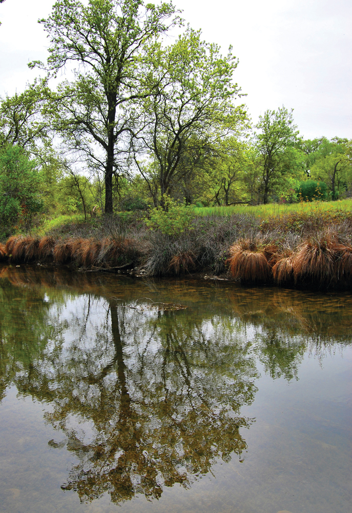
Vegetation and land use on the west side typically consist of conifer stands in the upper elevation with commercial timber production, oak hardwood and annual grassland in the mid-elevation foothill region that supports livestock grazing, and irrigated agriculture on the valley floor. In many of the watersheds, vegetation is dominated by large areas of decadent brush fields that are a high fire risk and have minimal value for livestock forage or wildlife habitat. With the exception of Clear Creek and Cottonwood Creek, streams on the west side do not support significant runs of anadromous fish from the Sacramento River. This is largely because of the conditions of hydrology described above. There are resident fish populations in the upper stream reaches that sustain year-round flow, and the large, unpopulated areas of forest, brush, and grassland are important habitat for a variety of wildlife species. Population centers in this subregion are few in number and relatively small. The economy is largely resource-based (i.e., timber, livestock, and irrigated agriculture).
The common watershed conditions and management issues for the Westside Subregion can be summarized as:
- hydrology that is typified by short-term peak runoff events together with dry season base-flow that declines to very low levels rapidly and early in the summer;
- watersheds that are prone to high rates of erosion, causing a large volume of sediment transport during intensive rainfall/runoff events;
- watercourses that are not of major significance to anadromous fish species but riparian and upland areas that support valuable wildlife habitat;
- low population density and an economy that is largely dependent on timber, livestock production, and irrigated agriculture; and
- a watershed community that highly values its rural, agriculture-based lifestyle and wishes to preserve it.