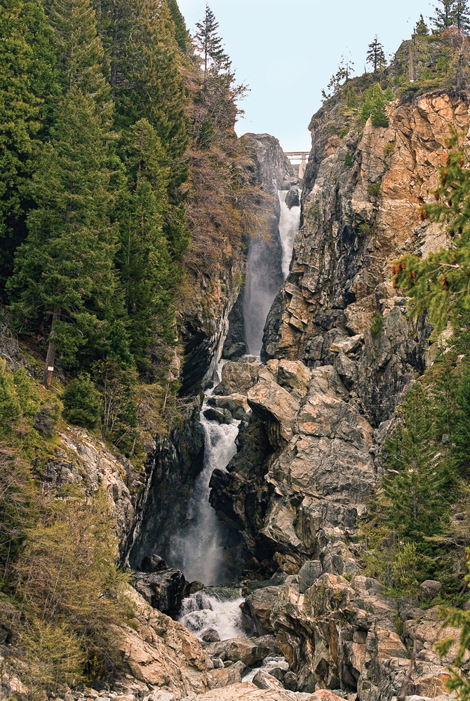
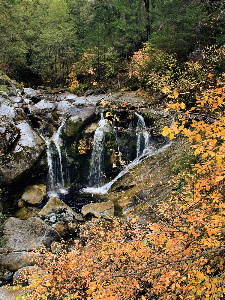
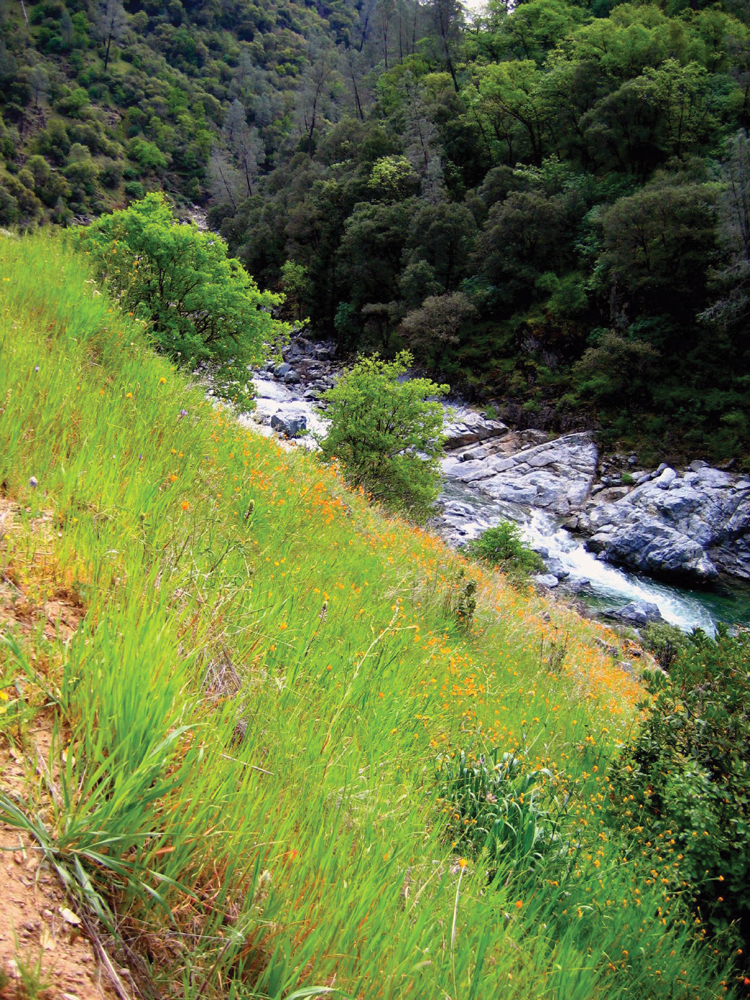
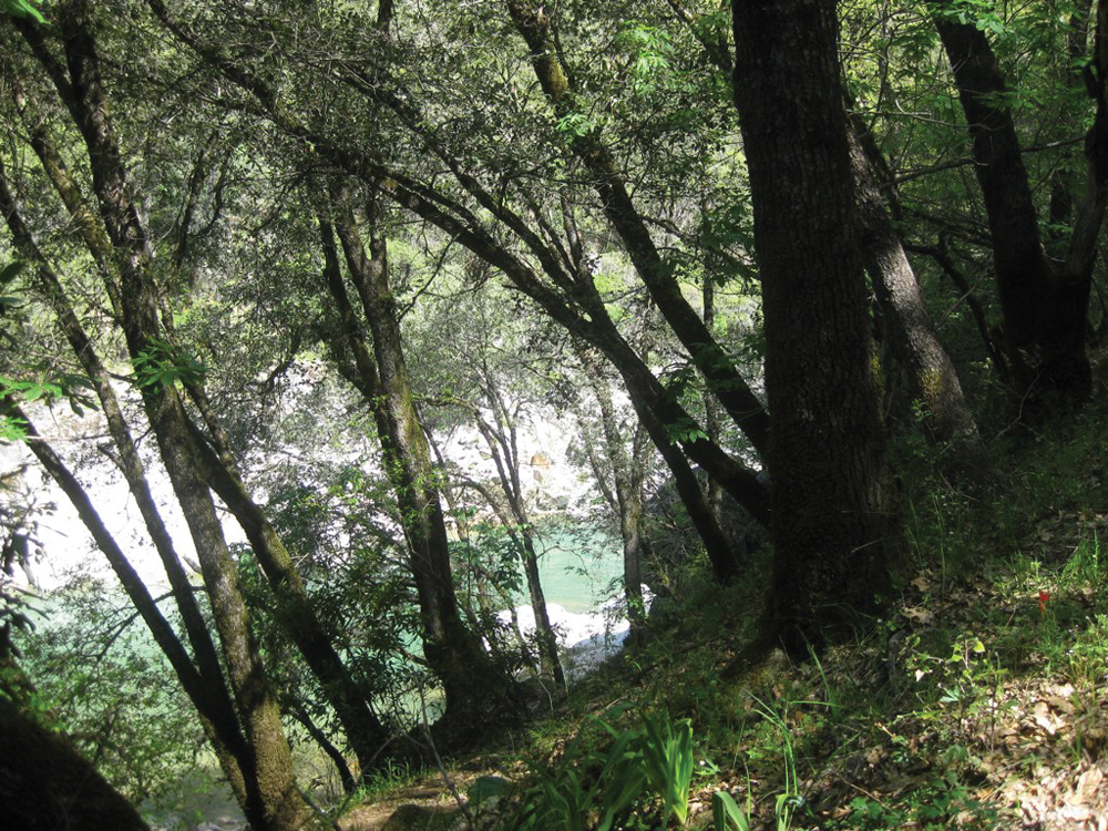
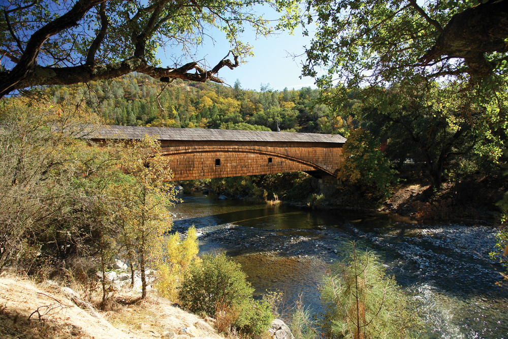
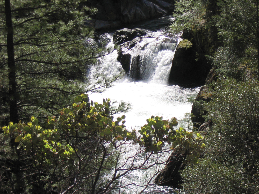
North Fork Yuba River
Photo by Bob White
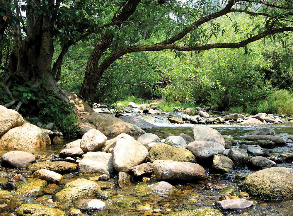
The Watershed at a Glance
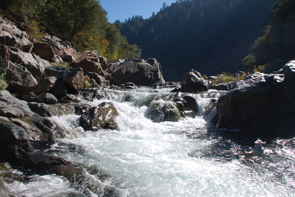
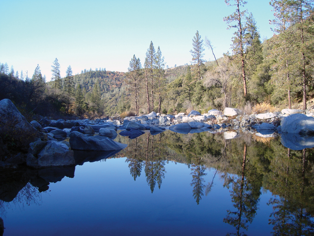
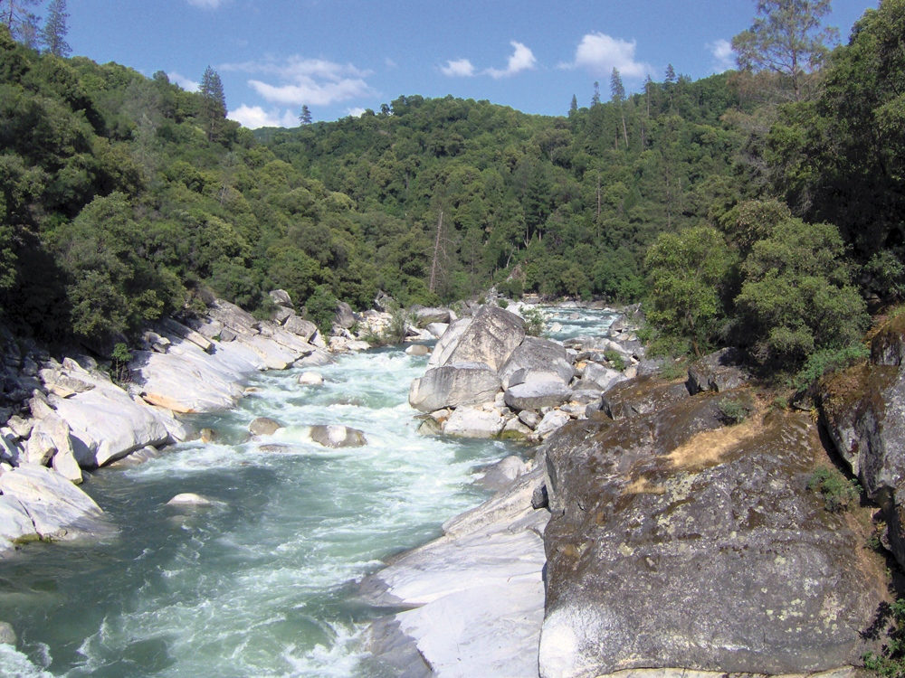
The Yuba River Watershed stems from the west slope of the Sierra Nevada at Donner Pass to the Feather River near Yuba City. Most of the Yuba River’s flow comes from its three main tributaries: North Yuba, Middle Yuba, and South Yuba Rivers. The Yuba River Watershed includes a diverse array of environments and conditions— from snow-covered subalpine zones near the Sierra crest to dry oak woodlands in the lower watershed. Compared to other Sierra Nevada watersheds, the Yuba has been rated in “fair” to “poor” condition based on native fish populations despite having one of the most important wild steelhead fisheries in the Central Valley. The largely forested upper watershed and flood-prone lower watershed have been affected by mining, logging, dams and diversions, and residential development. The patchwork of land ownership in the watershed and numerous abandoned mines present land and watershed management challenges.
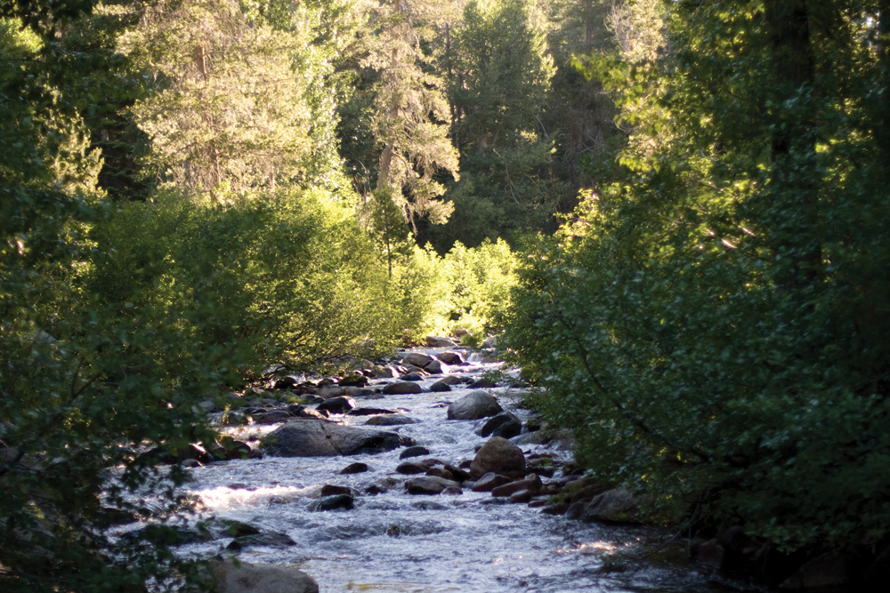
Hydrology
The Yuba River has three forks: North, Middle, and South Yuba. The North and Middle Yuba Rivers come together below New Bullards Bar Reservoir and form the mainstem Yuba River. Each of these river sections is discussed below.
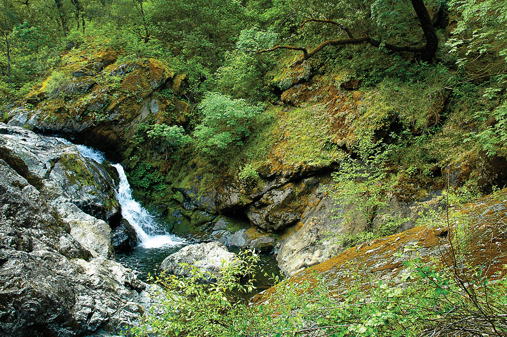
North Fork Yuba River
The North Yuba River rises near the eastern border of the Tahoe National Forest, on a mountainside along California State Route 49. It flows southwest then west through a 3,000-foot-deep canyon past the small villages of Downieville, where it receives the Downie River, and Goodyears Bar. It then incorporates the flow of Canyon Creek and Slate Creek, two of its main tributaries, and very soon after widens into New Bullards Bar Reservoir, which is impounded by the 645-foot New Bullards Bar Dam. Very soon after leaving the dam it joins with the Middle Yuba to form the Yuba River.
Middle Fork Yuba River
Originating in a bowl-shaped valley in Moscove Meadow, the Middle Fork flows north into Jackson Meadows Reservoir, then turns west, descending steeply into a gorge, defining over almost its entire length the boundary of Nevada County in the north and Yuba County in the south. The river bends to the southwest, then west again, receiving Kanaka Creek from the right and Grizzly Creek from the left. It intersects California State Route 49 about 2 miles (3.2 km) northwest of North San Juan, then a few miles after joins with the North Fork Yuba River.
South Fork Yuba River
The South Yuba originates at Donner Pass at the crest of the Sierra Nevada, near the town of Soda Springs. Gathering numerous snowfed tributaries, it runs west through a marshy, lake-filled valley, shadowed by Interstate 80. The river then flows into Lake Spaulding, which is formed by Spaulding Dam. After escaping from the dam the river plunges northward into a steep-sided valley. Canyon Creek enters from the right, then Poorman Creek also from the right near the town of Washington. The river continues west into the foothills, crossing under State Route 49. Its mouth is on the east shore of Englebright Lake, formed by a dam across the Yuba River.
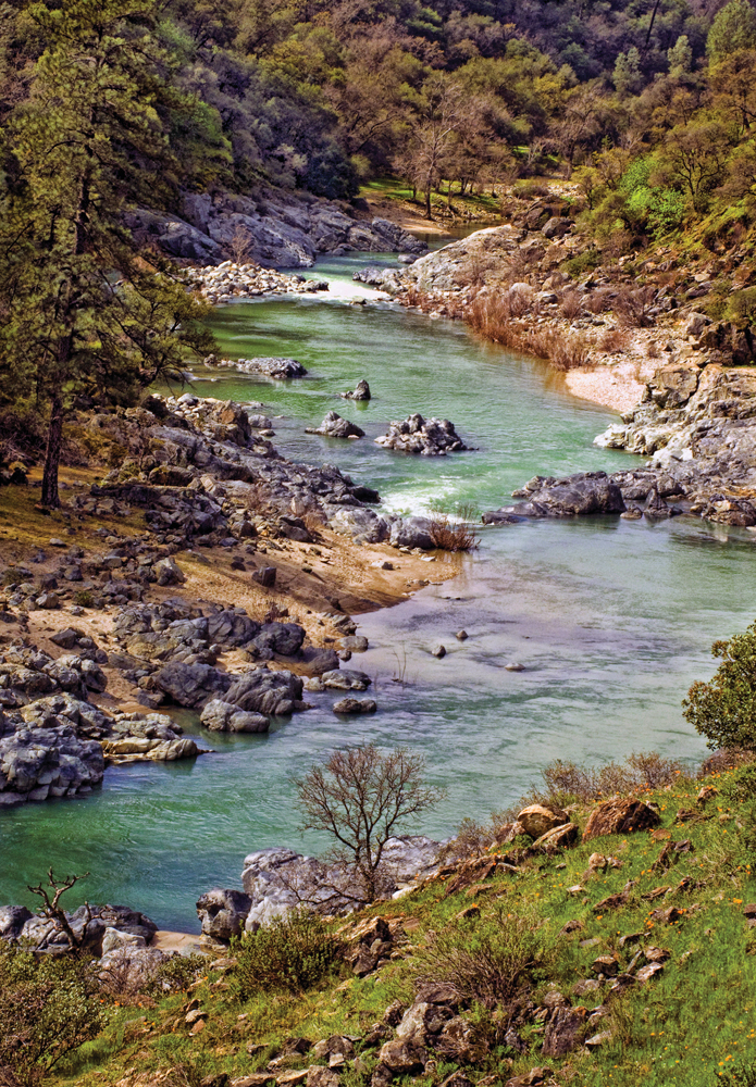
Yuba River Mainstem
From the joining of the North and Middle Forks, the Yuba flows southward, then southwest, through the Sierra Nevada foothills, forming the Yuba-Nevada County border. The river widens into the main arm of Englebright Lake near French Bar, and is joined by the South Yuba within the reservoir. The Yuba leaves the Englebright Dam near Lake Wildwood, and is then joined by Deer Creek, the stream flowing from that lake, on the left. The Yuba slows down as it flows from the mountains out into the Sacramento Valley near the Yuba Goldfields, a section of the Yuba River valley consisting of dredged sediments washed down by hydraulic mining in the 19th century. The river then turns southwest, flowing through irrigated farmland. It then skirts the south side of Marysville and reaches its destination at the Feather River between the cities of Marysville, Yuba City, and Linda.
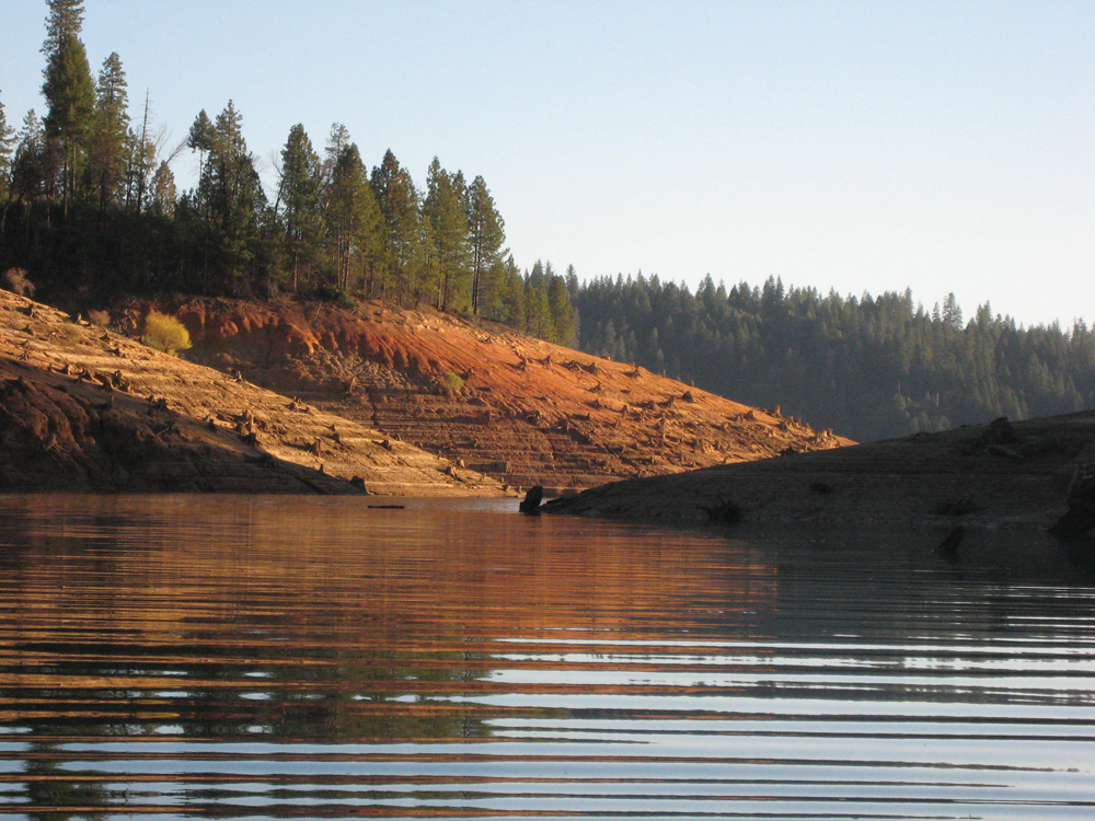
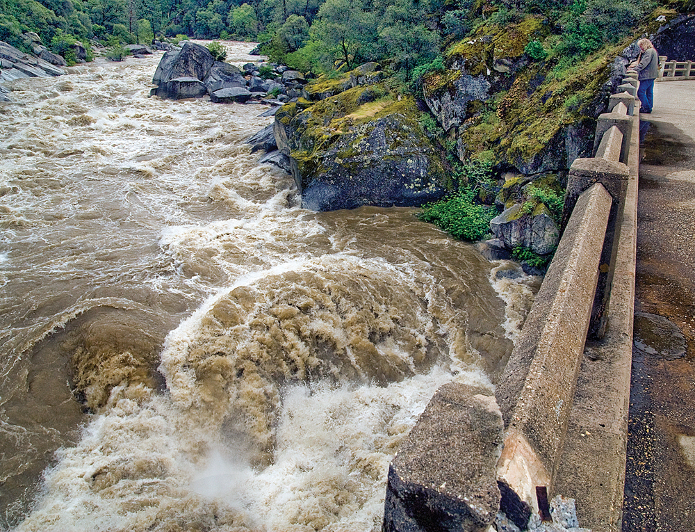
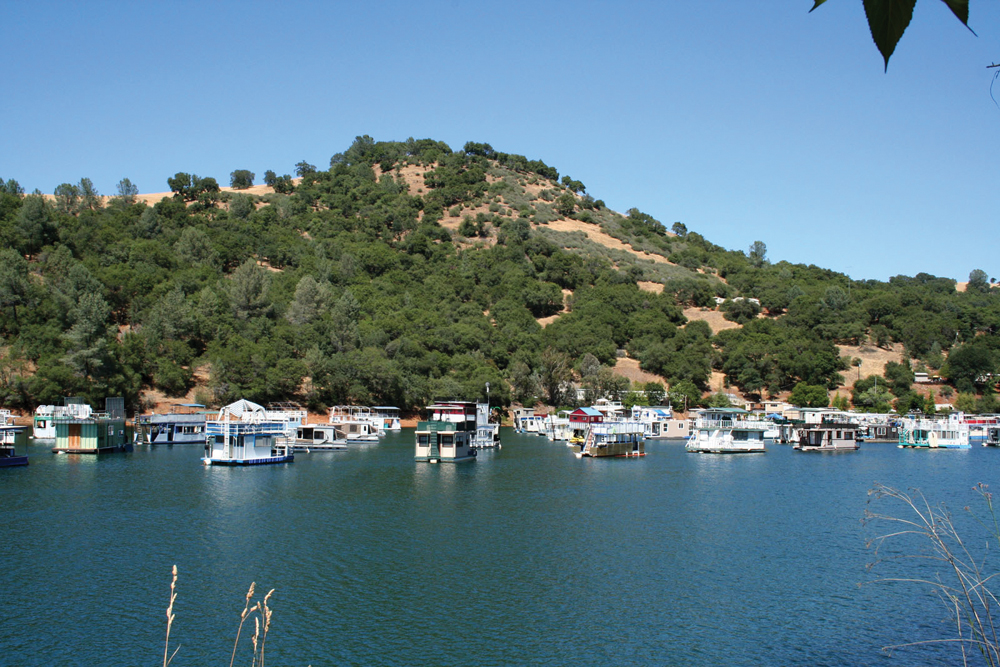
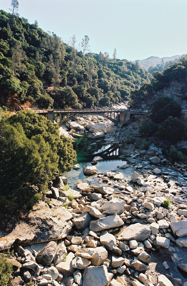
There are more than 100 jurisdictional dams or diversions in the Yuba River Watershed. The diversions convey water to local users and to users in the Bear and North Fork American River Watersheds. A large amount of water is diverted from the watershed at Lake Spaulding on the South Fork for irrigation and power generation. The South Yuba River Watershed alone supports 20 reservoirs and 20 hydroelectric dams. Englebright Dam marks the division between the Upper and Lower Yuba River. The dam was completed in 1941 to capture gold-rush era hydraulic mining debris that threatened downstream areas with floods. Englebright Reservoir has a storage capacity of 45,000 acre-feet and provides electricity and recreational opportunities.
Flows in the watershed are typical of Sacramento Valley tributaries with headwaters in the Sierra Nevada. Flows are highest in winter and spring, decreasing quickly in late spring. In 2008, the SWRCB approved the Lower Yuba River Accord Agreement, which is now fully operational. The agreement combines increased instream fisheries flows for wild, native salmon and steelhead, with increased supplemental water supplies for cities and farms.
Water Quality
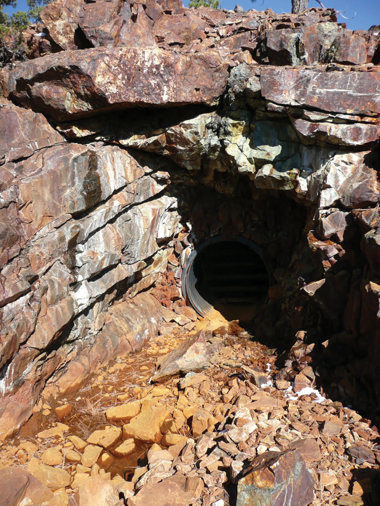
The Yuba River Watershed contains a significant amount of sediment and mercury as a result of hydraulic mining that occurred in the mid to late 1900s. Mercury is present in the bottoms of rivers and reservoirs and is transported by erosion processes and can be converted into methylmercury. As methylmercury accumulates in the food chain, it becomes concentrated, so that in larger predatory fish (e.g., trout and bass), concentrations can exceed levels of concern for human consumption. Findings in the most recent and comprehensive survey of fish in the Yuba River Watershed meet and exceed USEPA and Food and Drug Administration levels.
Sediment loads in the watershed can be attributed to historical mining as well as recent human activities such as road construction associated with rural housing development, logging, and recreation. Temperature is also a significant water quality concern in the Yuba River Watershed. Warming water temperatures can be attributed to dams, water diversions, inadequate shading by limited riparian canopy, and low instream flows. Yuba River tributaries Deer, Humbug, Kanaka, and Little Deer Creeks are listed on the Clean Water Act’s 303(d) list of impaired waterbodies along with Englebright and Scotts Flat Reservoirs. Humbug Creek is also listed for copper, sediment, and zinc.
Fish and Wildlife
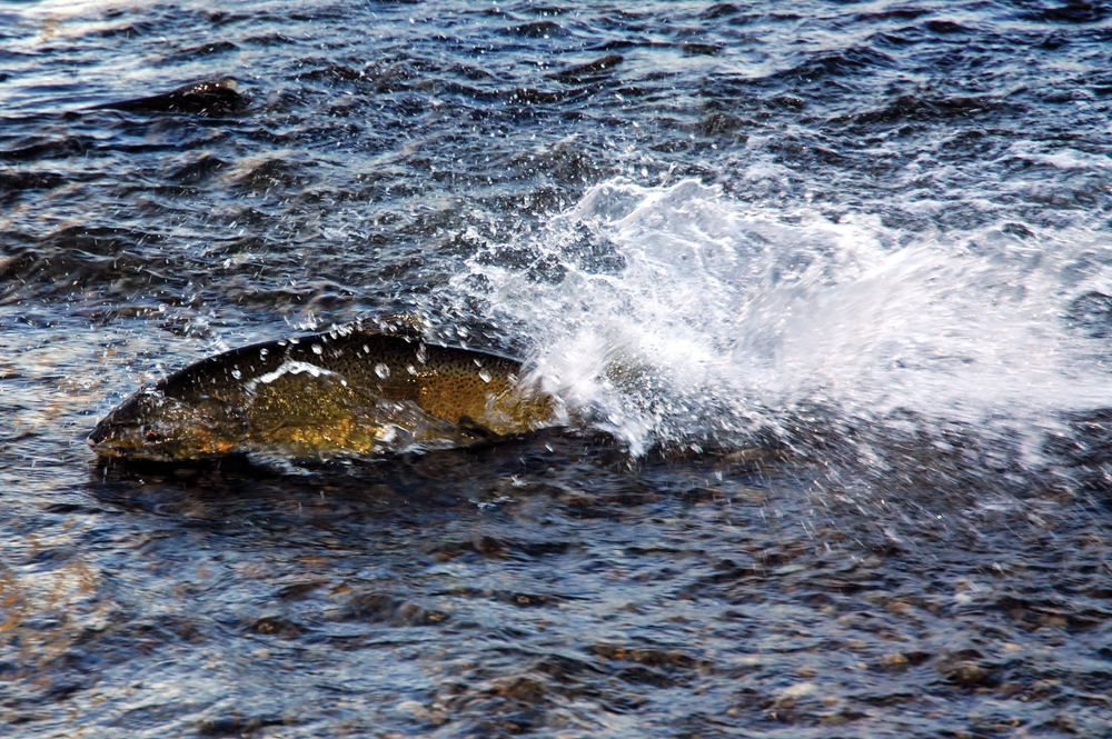
The Yuba River supports highly valued populations of steelhead trout, resident rainbow trout, and fall-run Chinook salmon, as well as populations of other anadromous and resident fish communities. Historically, the Yuba River supported as much as 15% of the annual fall-run Chinook salmon run in the Sacramento River Basin. Run sizes in the Yuba River have varied over the period of record, ranging from a low of 1,000 fish in 1957 to a high of 800,000 in 2002. Low flows and high temperatures on the South and Middle Yuba Rivers, along with the legacy of sediment from hydraulic mining, continue to contribute to problems for cold-water aquatic communities.
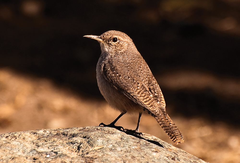
The Yuba River Watershed is also home to a large number of bird species and a stopover point for migrating birds. Commonly seen mammals include mule deer, raccoons, skunks, opossum, and coyote. More elusive are the gray fox, bobcat, ringtail, mountain lion, and black bear.
Vegetation
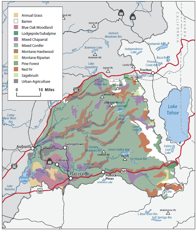
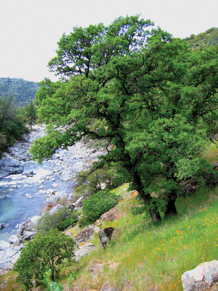
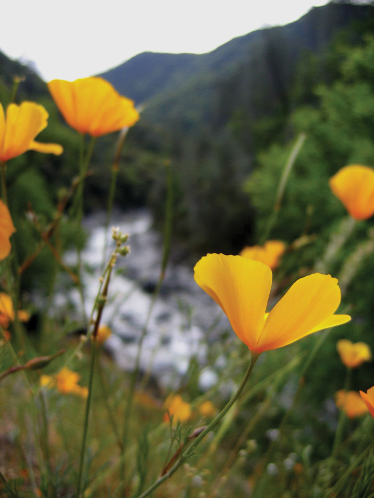
Mixed conifer dominates the upper watershed, which includes ponderosa pine, Douglas-fir, and incense cedar among others. The watershed is also home to oak woodlands and chaparral communities. Of the vegetation types most frequently documented to contain rare and unique species, the foothill woodland and chaparral communities have been particularly damaged and fragmented by changes in agriculture and development.
Life in the Watershed
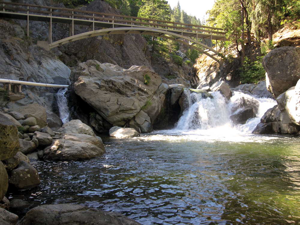
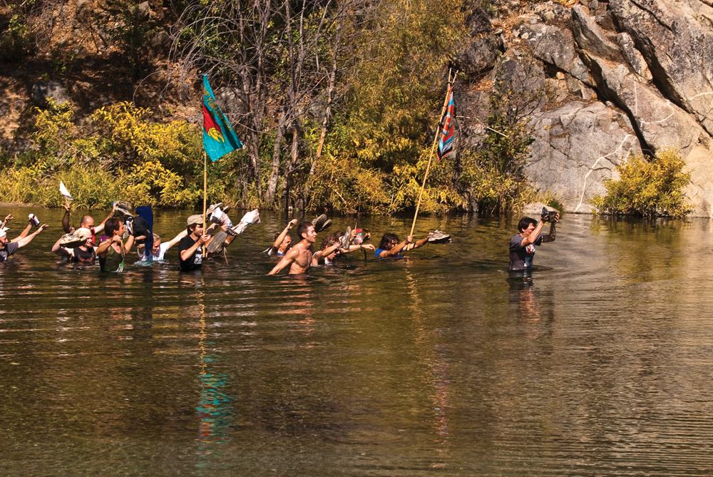
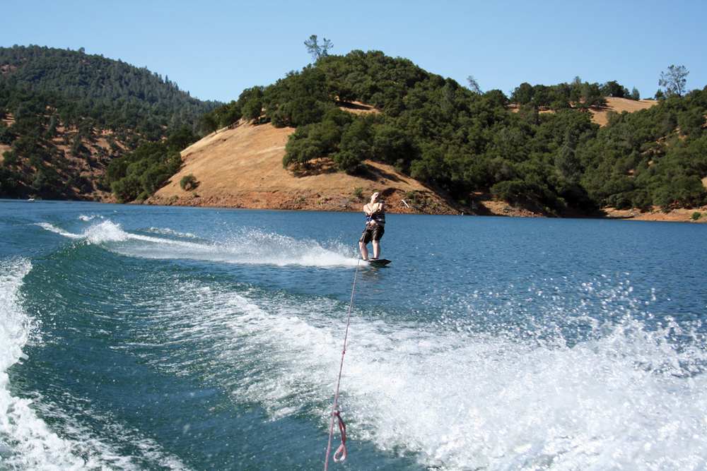
Recreation and tourism are two of the primary drivers of the local economy. Thirty-nine miles of the Lower South Yuba River (between Lake Spaulding and Englebright Reservoir) are designated as a California Wild and Scenic River and federally recommended as a Wild and Scenic River. The area is used heavily for recreational purposes. While timber production is still prominent, many businesses and communities in the watershed have shifted their economic base away from that of logging to take advantage of the region’s abundant recreational and scenic qualities. Overall population is sparse and mostly reside in Nevada City in the upper watershed (Nevada County seat, population 3,000) and Marysville in the lower watershed (Yuba County seat population 12,268). The watershed includes the South Yuba River State Park located near the town of Bridgeport.
Historical reminders of Native Americans and the gold-rush era are woven throughout the landscape. Evidence of prehistoric uses in the area such as camps, along with more recent activities such as pioneer trails, ridges, mining features, and logging camps are scattered throughout the watershed. Today identified Indian tribes in the watershed include the Washoe Tribe of Nevada and California, Miwok, and Maidu.
Management Objectives
An IRWM Plan for the Consumnes, American, Bear, and Yuba Rivers was adopted in December 2006. The plan was developed by a diverse group of stakeholders throughout the region and include a number of goals and objectives for the four watersheds. More recently, SYRCL developed the Yuba Watershed Assessment (June 2010), which lays out priorities specifically for the Yuba River Watershed. The following management objectives are derived from both of these documents:
- Achieve sustainable surface and groundwater supply,
- Provide multiple benefits from management of water resources, diversions and infrastructure,
- Reduce impacts from catastrophic fire,
- Protect infrastructure, equipment, and property from flooding,
- Protect and improve watershed resources through land use practices,
- Manage sediment for water resources, infrastructure and habitat value,
- Address issues associated with the physical and chemical hazards of abandoned mine lands (including reducing mercury contamination in waterways),
- Reduce contamination of surface and groundwater resources,
- Protect and improve fisheries and aquatic biota through water resources management, and
- Restore floodplain function.
Management Organizations Active in the Watershed
CABY
CABY is a collaborative planning effort that adopted an IRWM Plan in December 2006, in response to the passage of Proposition 50. As mentioned earlier, the CABY region includes the Cosumnes, American, Bear, and Yuba Rivers. CABY comprises more than 30 organizations, representing water supply, conservation, recreation, agriculture, and community interests, as well as federal and local government. CABY is pursuing a planning grant through the IRWM Program in order to update their Plan.
SYRCL
SYRCL is the leading voice for the protection and restoration of the Yuba River and the Greater Yuba Watershed. Founded in 1983 through a rural, grassroots campaign to defend the South Yuba River from proposed hydropower dams, SYRCL has developed into a vibrant community organization with over 3,500 members and volunteers based in Nevada City. SYRCL continues to advocate for the creation of resilient human and natural communities throughout the greater Yuba River basin by restoring creeks and rivers, regenerating wild salmon populations, and inspiring and organizing people.
Yuba County RCD
Formed in 1947, the Yuba County RCD assists landowners and land managers in providing stewardship of the county’s natural resources and educates stakeholders and policy makers about the county’s natural resource base.