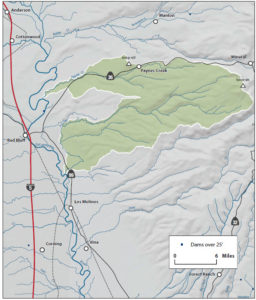
Lower Antelope Creek Watershed
The Watershed at a Glance
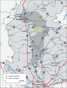
The Tehama East Watershed includes the following nine individual drainages that lie south of the Battle Creek Watershed in eastern Tehama County:
- Antelope Creek
- Dye Creek
- Hoag Slough
- Inks Creek
- Paynes Creek
- Pine Creek
- Salt Creek
- Seven Mile Creek
- Toomes Creek
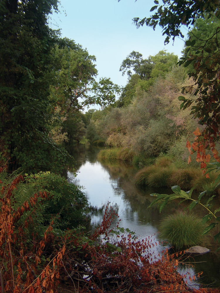
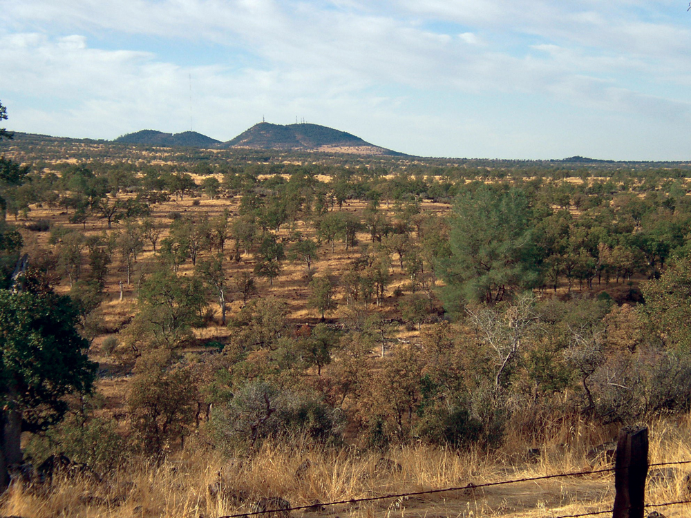
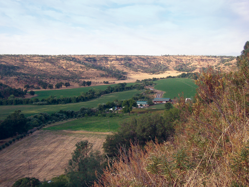
Most of these drainages are relatively low in elevation (less than 4,000 feet at their highest points) and therefore receive little precipitation in the form of snowfall. This creates hydrology that is flashy and surface flows that tend to cease during the summer dry season. The watershed is approximately 76% private and 24% public (state land, USFS, and BLM). Timber production, ranching, and farming are the primary resource activities. The largest community is the eastern portion of Red Bluff. Because of their hydrology, none of these drainages support large populations of anadromous fish; however, they do have spawning and rearing habitat (particularly near the Sacramento River) that warrant protection and, where needed, restoration.
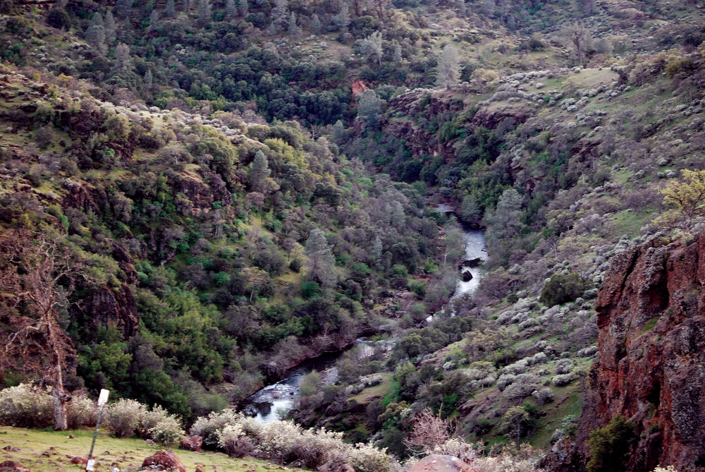
Hydrology
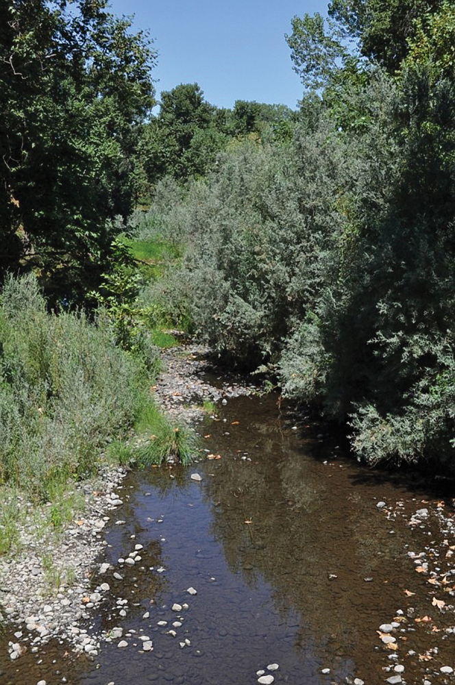
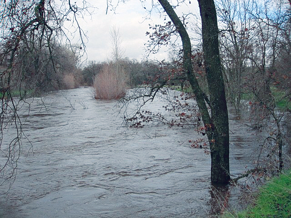
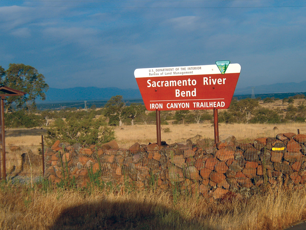
Antelope Creek and Paynes Creek are the only two streams in this watershed area with a history of flow monitoring. Annual mean flow for Antelope Creek is 151 cfs and for Paynes Creek, 71 cfs. It can be assumed that average flow in the other drainages is slightly less to substantially less than these levels. Flooding is a recurring concern for residents of eastern Tehama County that live near the Sacramento River. Since 1950, Tehama County has been in a state of emergency nine times because of the threat of flooding. The problem is mainly from the Sacramento River overflowing its banks, but peak flows from these Tehama East drainages contribute to the problem. Small diversions for irrigation water exist on almost all of these eastside drainages and contribute to conditions of low streamflow during the summer season. There are significant groundwater resources in this part of Tehama County, and almost two thirds of all water supply in the county comes from groundwater.
Water Quality
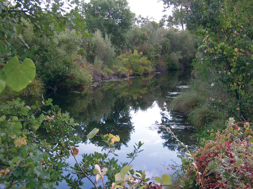
Only Paynes Creek and Antelope Creek have had any long-term, consistent water quality data collection. Water quality in these streams, and the other Tehama East drainages, is considered to be generally good and supports beneficial uses of recreation, municipal and agricultural supply, and habitat for warm- and coldwater aquatic life. No streams in the Tehama East Watershed are 303(d) listed as impaired waterbodies.
Vegetation
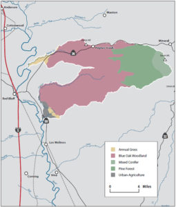
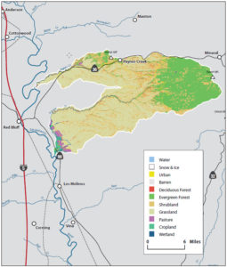
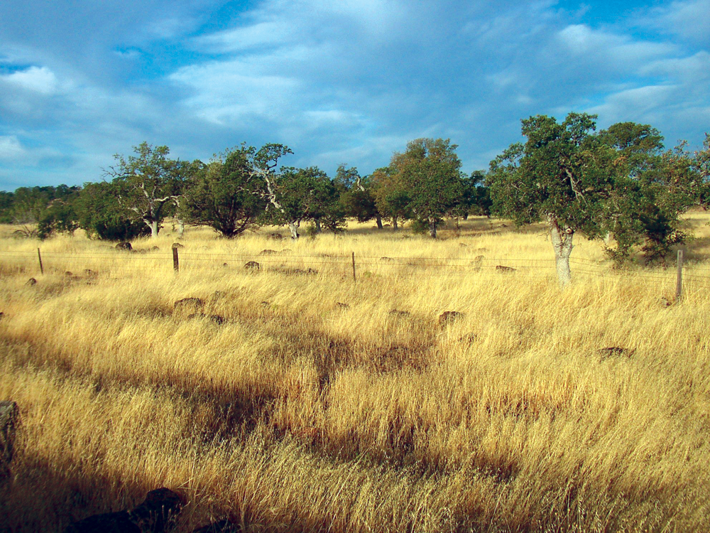
Existing plant communities in the Tehama East Watershed include mixed conifer (13%), blue oak, valley oak, and montane hardwood (32%); shrub chaparral (13%), annual grassland and wet meadow (32%); cropland, urban, and barren (1%); and unclassified (9%). One of the prominent habitat communities in this watershed is vernal pools. Vernal pools fill with water in the winter months, dry down in the spring, and are completely desiccated in the summer months.
Fish and Wildlife
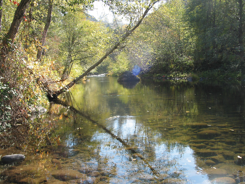
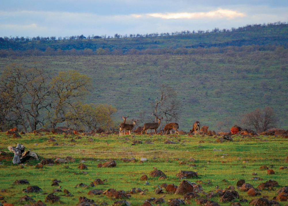
Several native fish species can be found in these relatively low-elevation, eastern Tehama County streams, including salmon and trout, suckers, sculpin, hardhead, pikeminnow, stickleback, and lamprey. Sacramento River Chinook salmon are known to use streams in which they were not spawned for early life history rearing habitat. This ‘non-natal rearing’ is common in the intermittent tributaries in the Tehama East Watershed. This intermittent tributary rearing offers significant advantages for young salmon, including faster growth and better condition. Nonnative species common to this watershed area are bass, sunfish, and bluegill. Special-status species include all four runs of Sacramento River Chinook salmon, steelhead, Sacramento splittail, and hardhead. Recommended actions for improving fish habitat and fish populations include restoring degraded stream channel and riparian zones, addressing impediments to migration, and establishing better population survey data.
Life in the Watershed
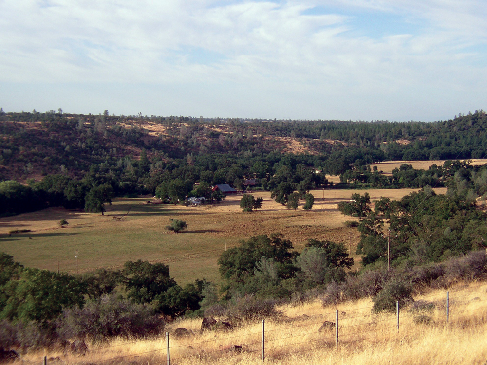
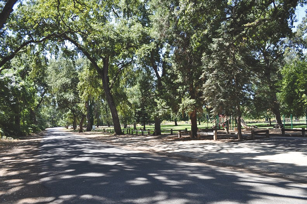
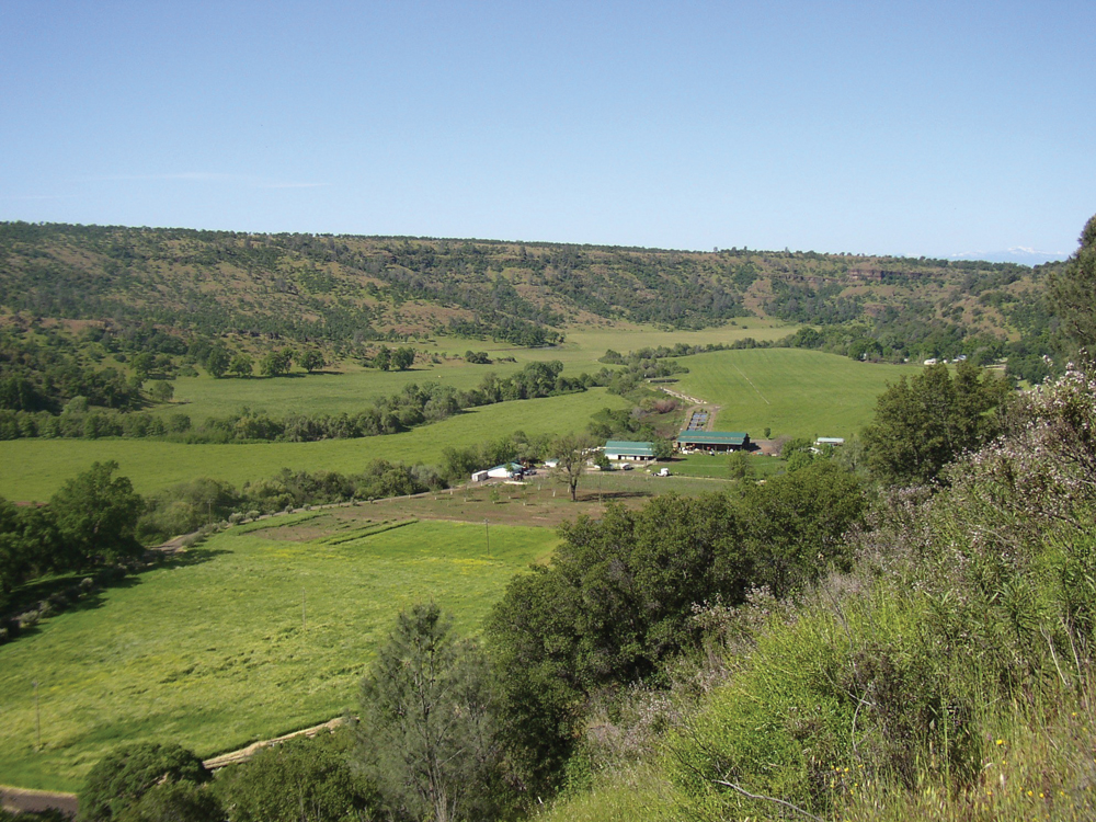
Land ownership in the Tehama East Watershed is approximately 23.5% public and 76.5% private. Many northern California cattle ranchers use Tehama County as winter grazing land. Cattle that are summered in the mountain meadows are brought to Tehama East Watershed foothills to graze during the winter and spring. Irrigated agriculture is predominantly orchard crops that include walnuts, prunes, almonds, and olives. Timber has always played a large role in the economy of this area, and in recent years this resource activity has seen about a 50% decline compared to harvest rates and timber value in the 1980s. With the exception of the city of Red Bluff, population in the watershed is small and widely scattered. Rural communities include Dairyville, Lyonsville, and Paynes Creek.
Management Objectives
The Tehama County RCD completed a watershed assessment for the Tehama East Watershed in April 2010. Although a watershed management plan does not currently exist, the watershed assessment identifies the following principal management issues for the Tehama East Watershed: »»protect stream zones and aquatic habitat, particularly in lower stream reaches used by salmon and steelhead;
- maintain dependable surface and groundwater supplies for irrigated agriculture;
- reduce forest fuels loading; and
- preserve open space and the rural agricultural lifestyle.
Management Organizations Active in the Watershed
Tehama County Resource Conservation District
In the absence of any locally organized management program, the Tehama County RCD has taken the lead in preparation of a watershed assessment for this area. The RCD will continue in this role of seeking financial support and offering technical assistance to the watershed community in order to address the management issues listed above.