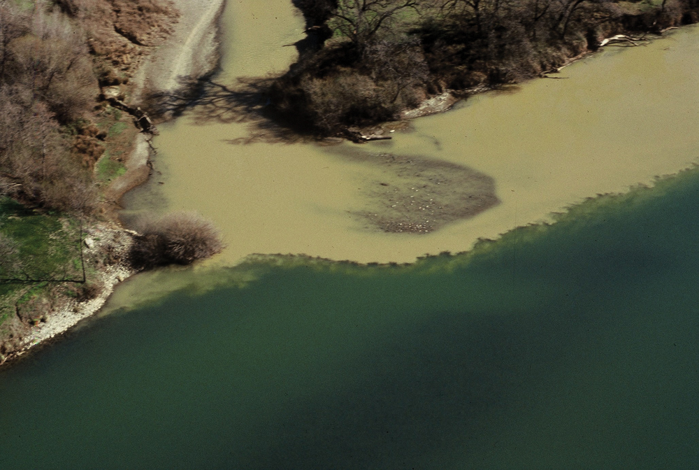
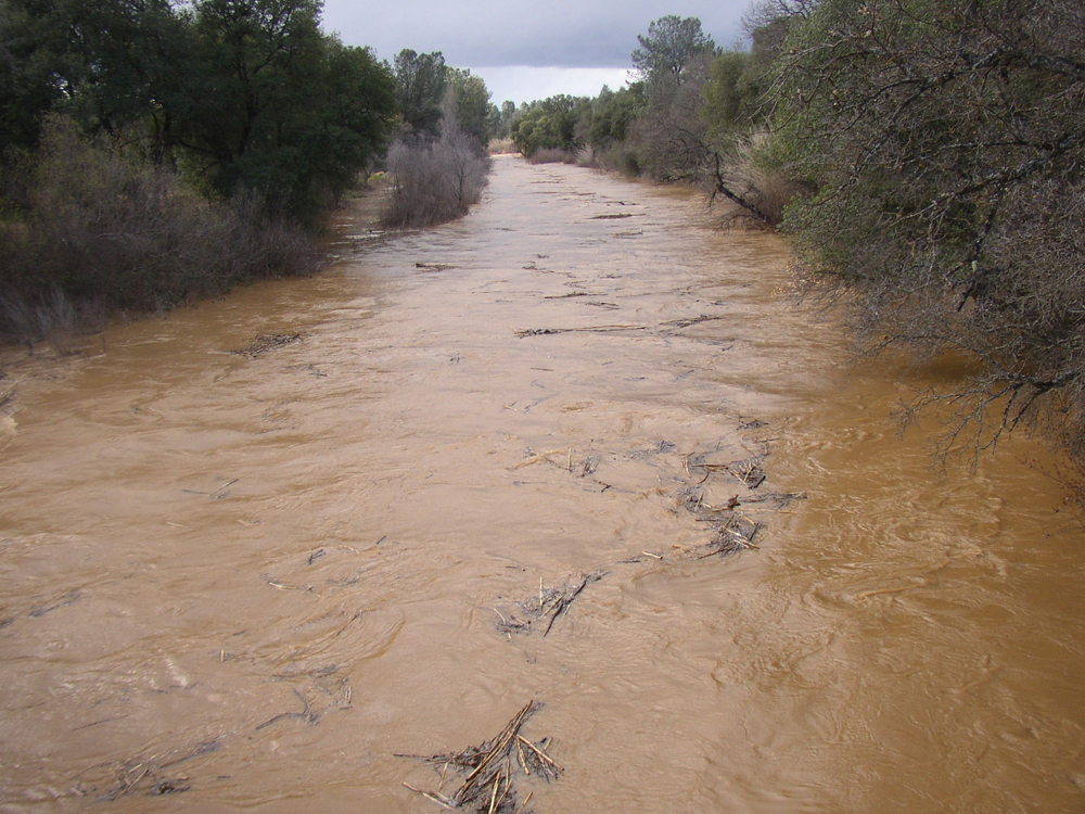
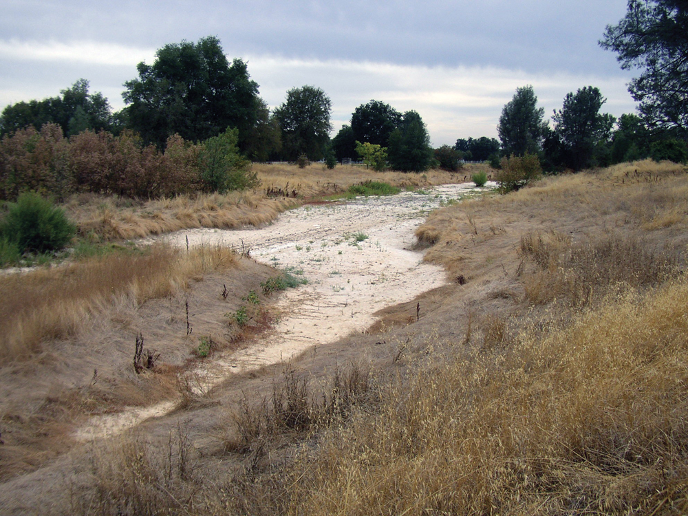
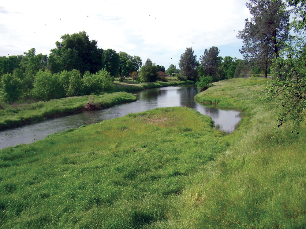
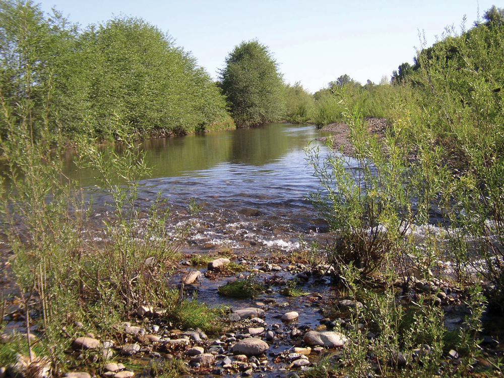
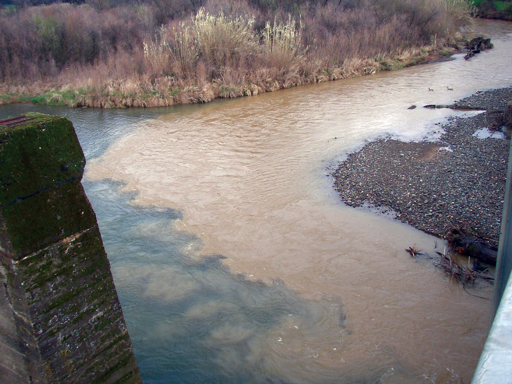
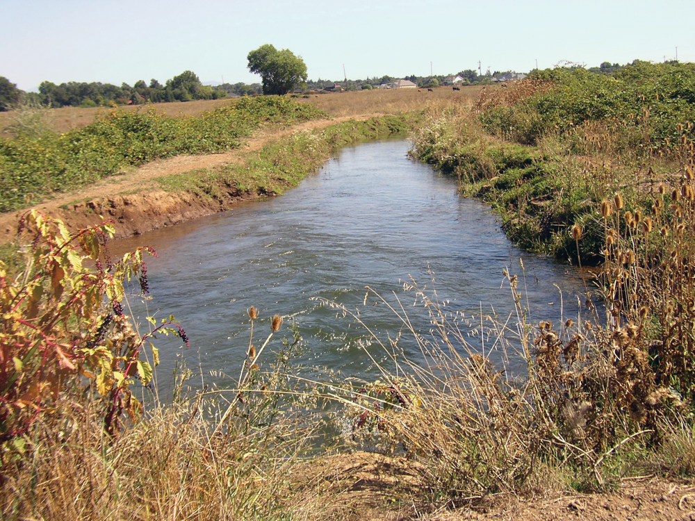
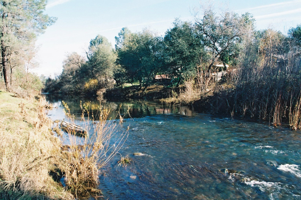
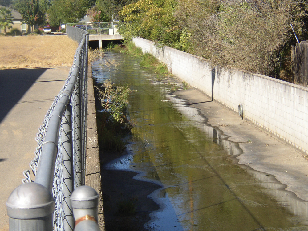
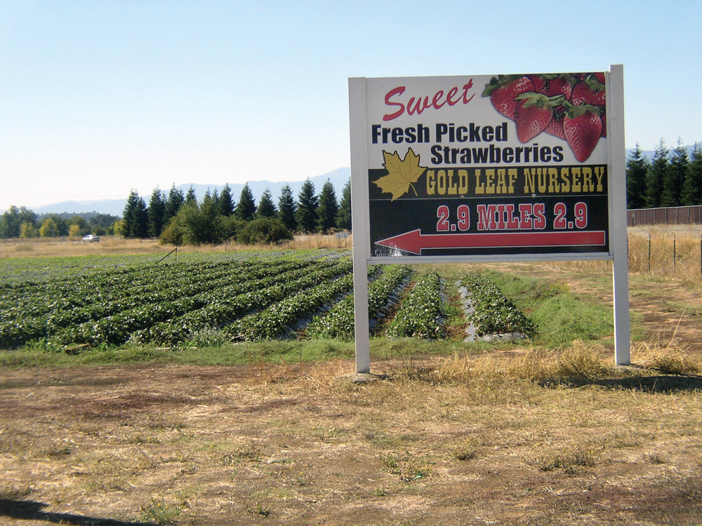
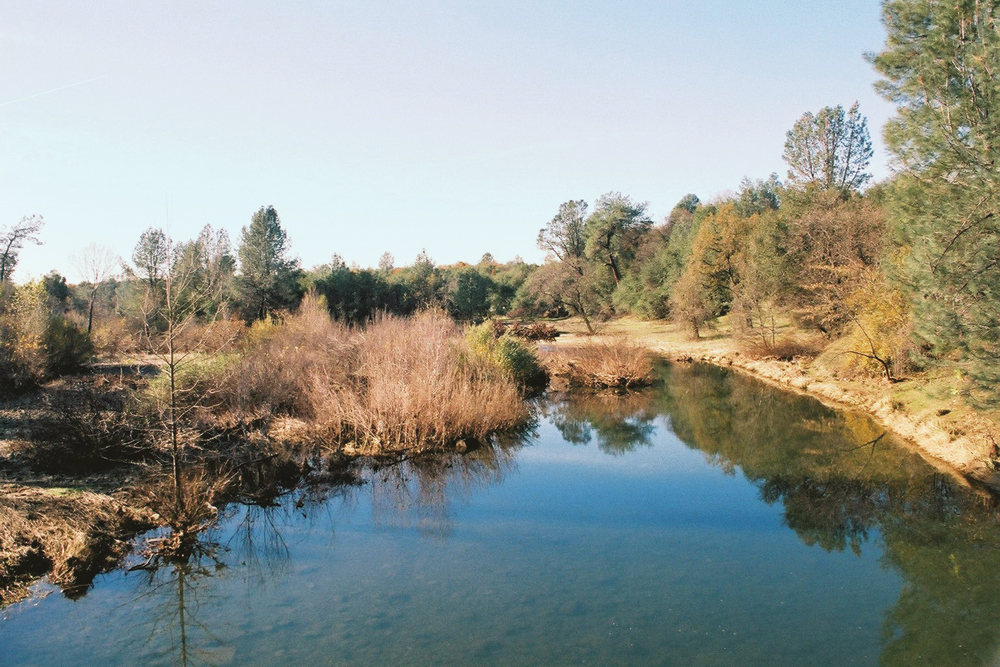
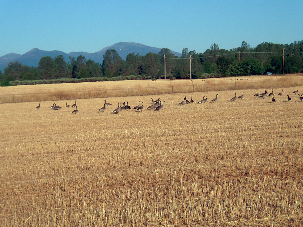
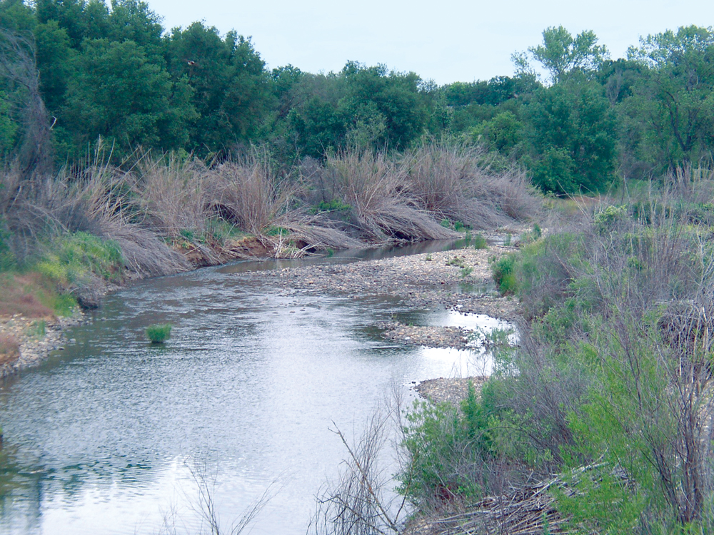
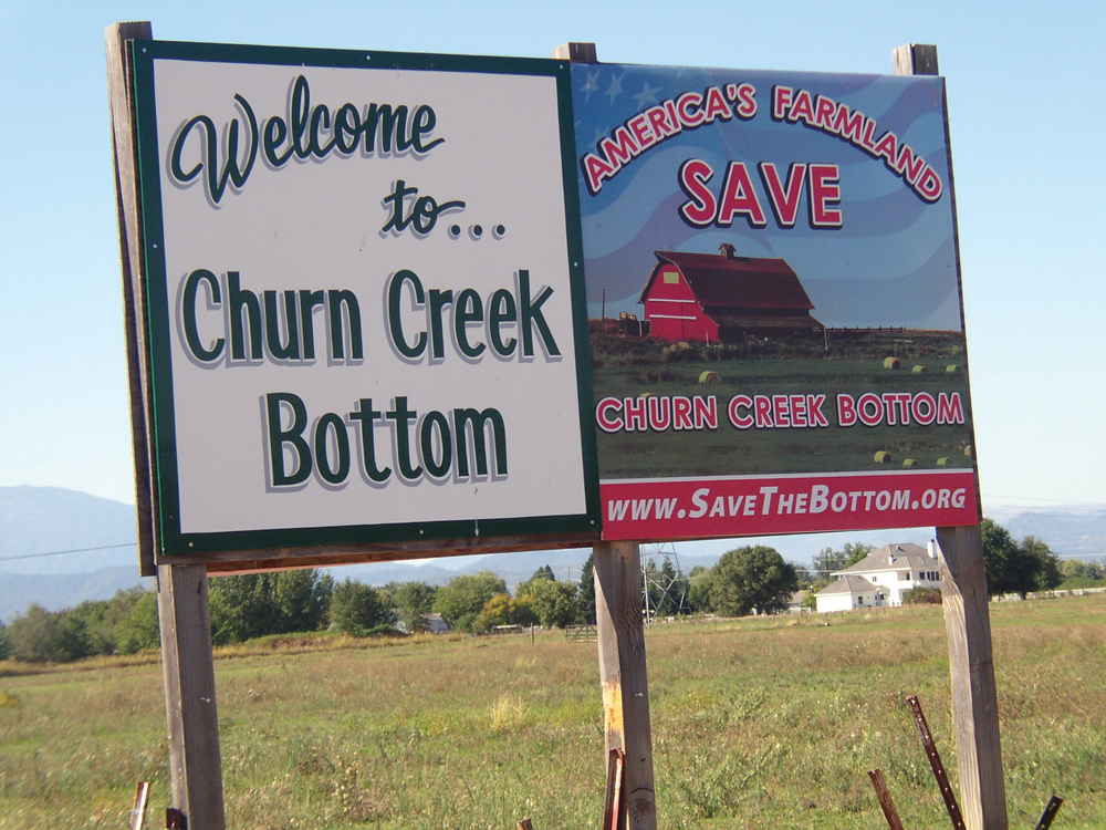
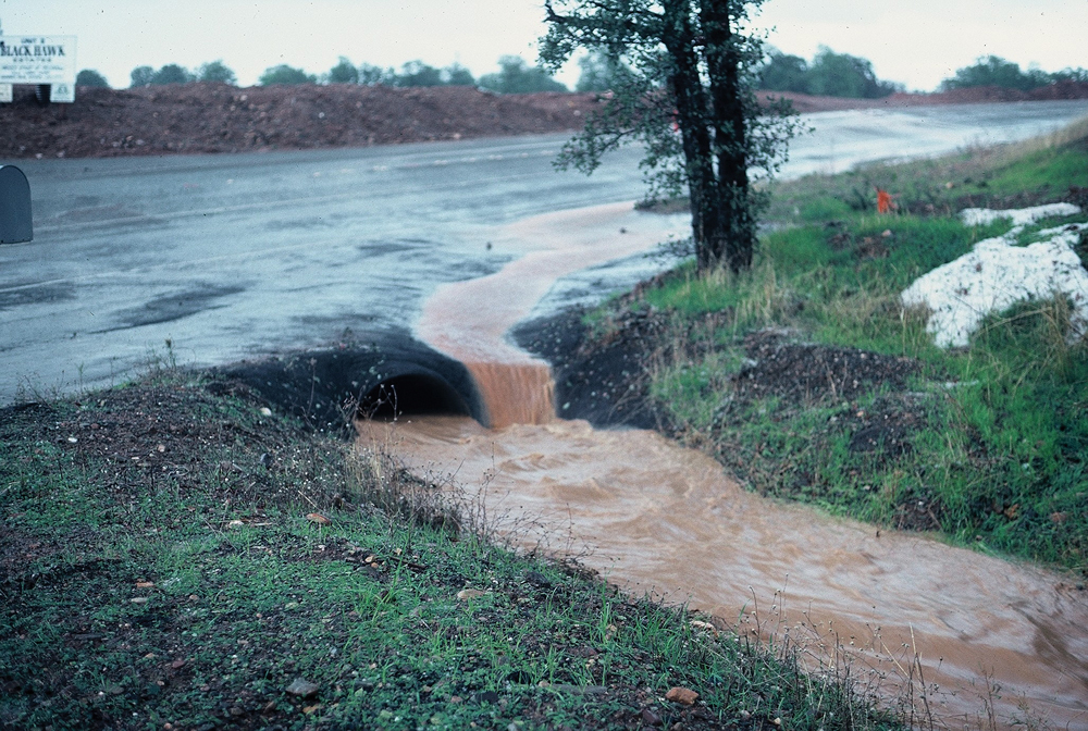
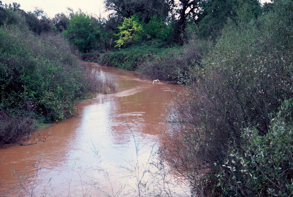
OVERVIEW PROJECTS DOCUMENTS PHOTOS SRWP 2010 Roadmap Report Photos Churn Creek sediment plume to the Sacramento RiverPeak runoff in lower Stillwater CreekChurn Creek channel in the dry seasonChurn Creek in Churn Creek Bottom, south ReddingLower Stillwater CreekStillwater sediment plume to the Sacramento RiverAnderson-Cottonwood Irrigation District water for Churn Creek agricultural landLower Churn CreekAgricultural land in Churn Creek BottomLittle Churn Creek in downtown ReddingSmall farm operations, throughout Churn Creek BottomLower Churn CreekCanada geese in a Stillwater Plain grain fieldArundo eradication along Stillwater CreekAgricultural land preservation in Churn Creek BottomUrban stormwater, a sediment source to Churn CreekLower Churn Creek, turbid with storm runoffStillwaterChurn-StillwaterChurn-85-CloverCreek