Burney Falls State Park
The Watershed at a Glance
Burney Creek originates in the forested uplands of eastern Shasta County, then flows through the town of Burney and into the Pit River. Its most notable feature is Burney Falls (located in McArthur–Burney Falls Memorial State Park), which has been called by some “the eighth wonder of the world.” The watershed supports valuable commercial timberland and high quality sport fishing for resident rainbow trout. Population in the watershed is mostly centered on the town of Burney.
Hydrology
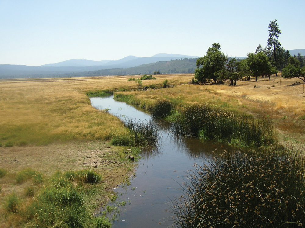
Mean daily flow in Burney Creek, as measured at the Burney Falls USGS gage, is about 250 cfs in the wet season and 150 cfs in the dry season. Streamflow is perennial from the headwaters downstream of the town of Burney. Below this point, reaches of Burney Creek typically go dry in late summer. Given the dominant volcanic geology, it is assumed that surface flow in the creek goes underground at these locations and resurfaces again in the vicinity of McArthur–Burney Falls State Park. There are several relatively small, isolated groundwater basins, the largest being the Goose Valley and Dry Burney Creek Basins (5 to 7 square miles).
Water Quality
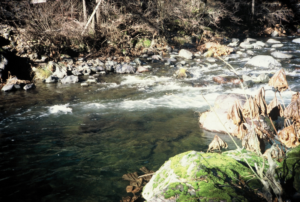
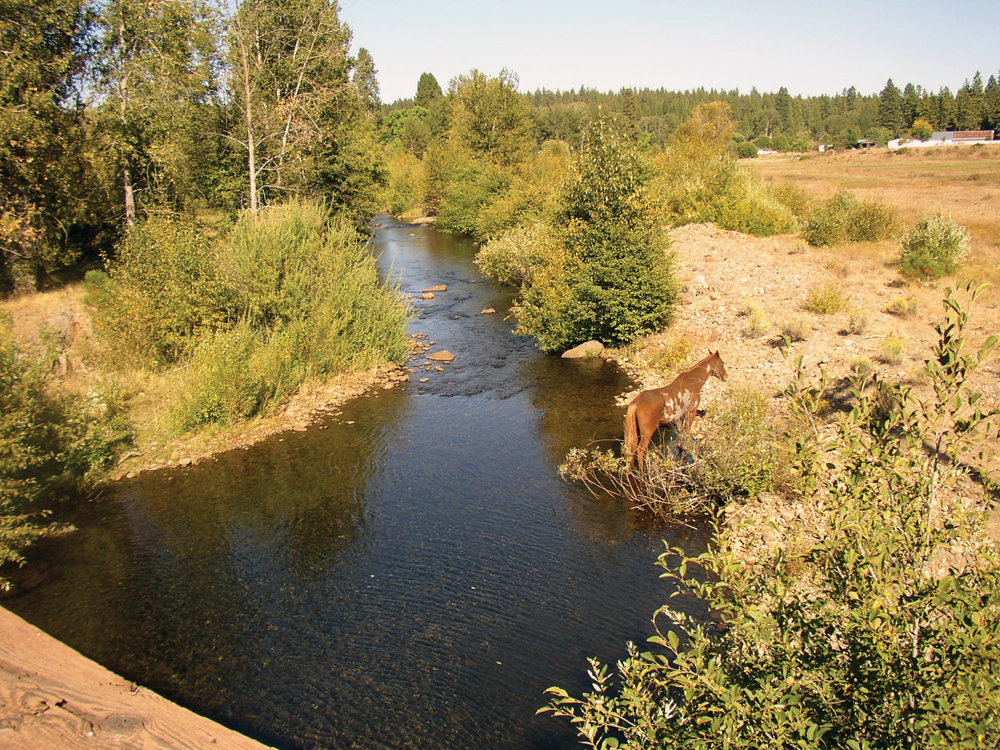
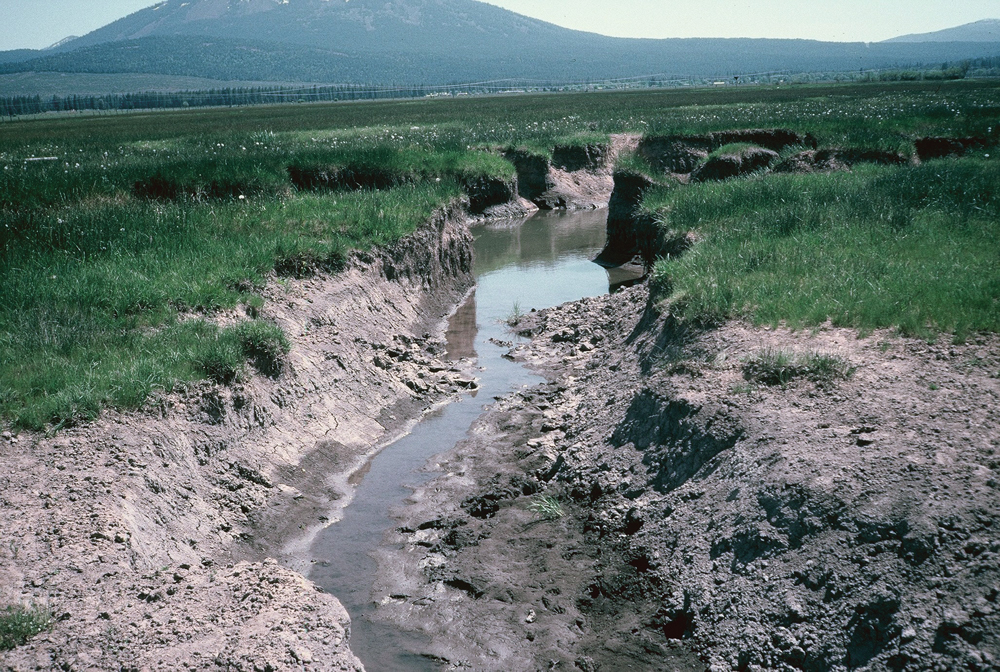
Limited data from USGS and EPA indicate water quality in Burney Creek is generally good and supportive of all beneficial uses. Recent monitoring by the Pit River Alliance and the Central Valley RWQCB does show a decline in water quality as Burney Creek flows out of the forested uplands, through the town of Burney, and through irrigated pasture and wild rice operations downstream of Burney. Although Burney Creek is currently not 303(d) listed as impaired, there are persistent concerns among some local residents over elevated levels of turbidity, temperature, and bacteria.
Fish and Wildlife
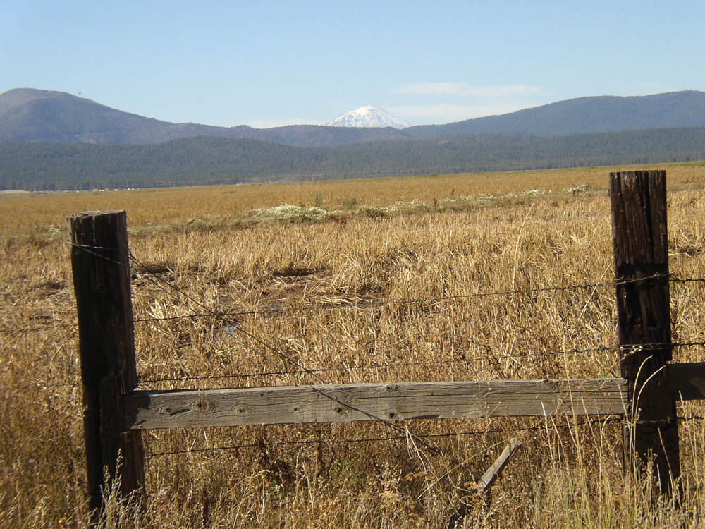
Rainbow trout are common throughout the watershed and provide for an excellent sport fishery. The expansive, sparsely populated forest and meadow areas provide important habitat for a variety of mammals, raptors, and waterfowl.
Vegetation
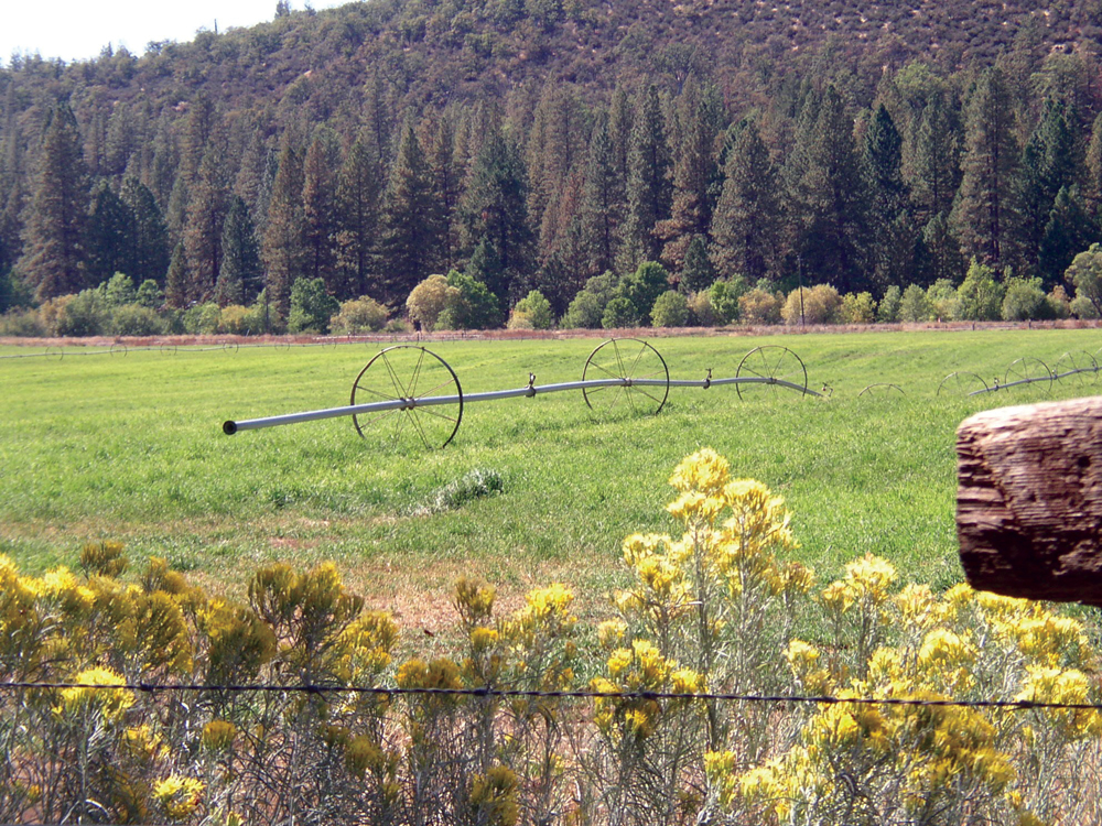
Upper elevations in the watershed are composed of mixed conifer forest with a component of hardwoods (particularly in the mid- and lower elevation areas). There are several large meadow systems in the upper watershed and on privately owned valley lands along Burney Creek. Irrigated agricultural land supports pasture and wild rice production.
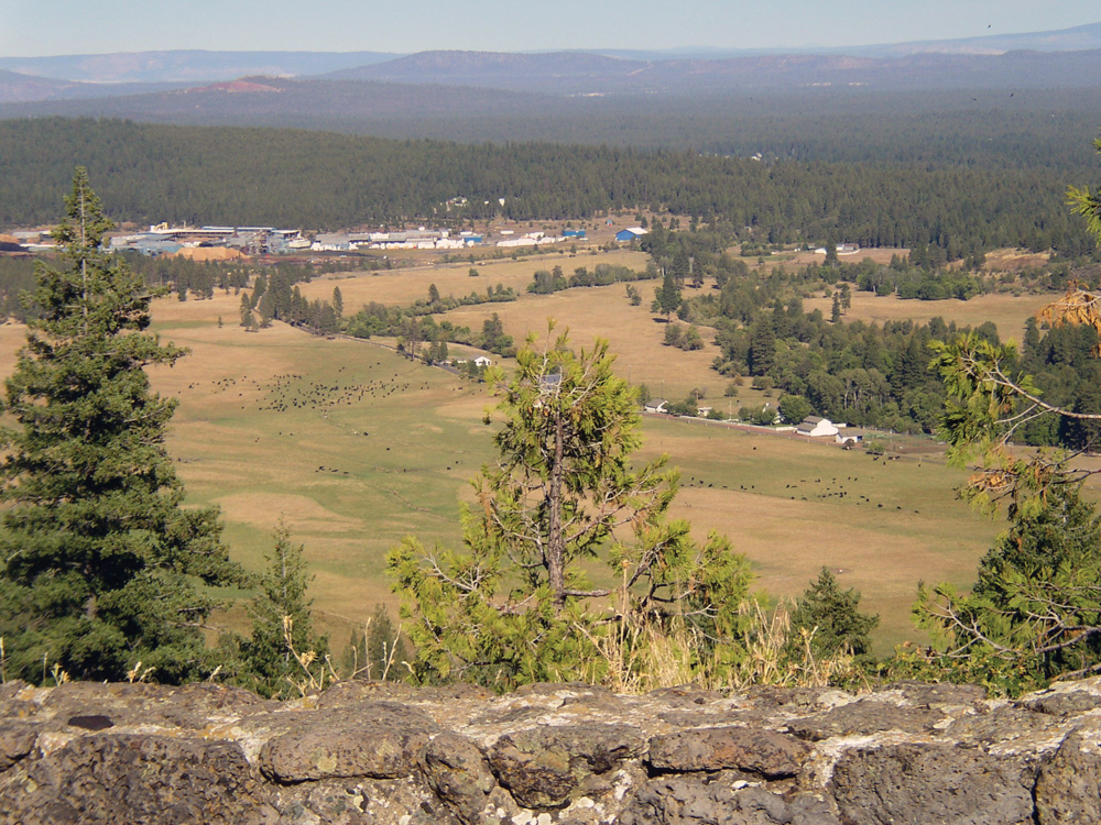
Life in the Watershed
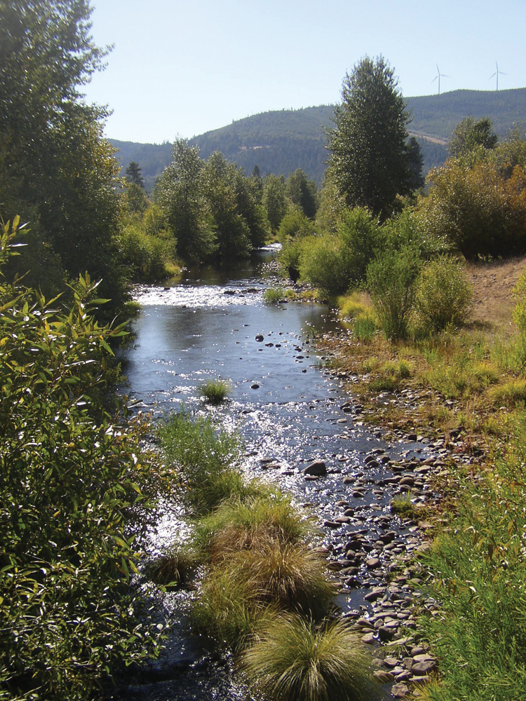
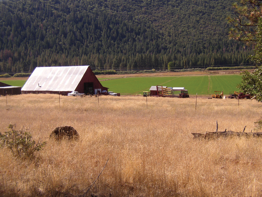
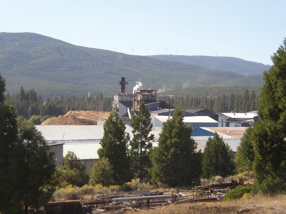
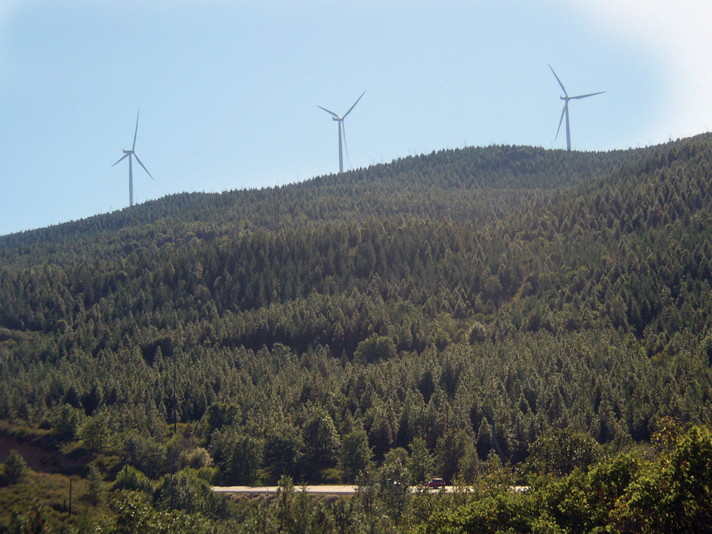
The majority of the watershed is privately owned and managed for commercial timber production. There are several large ranches with irrigated land used for pasture, hay, and wild rice. The area in and around the town of Burney (population 3,200) includes retail stores and timber products industry and a diatomaceous earth mine. PG&E has a large regional office, and recently, a large wind power generation project was constructed on Hatchet Mountain above the town of Burney. The local economy has been hurt in recent years by the decline in the forest products industry, and in 2000 the median annual household income was listed as $38,800. Nearby Lassen Volcanic National Park and McArthur–Burney Falls Memorial State Park receive approximately 200,000 visitors annually, providing some benefit to the local economy.
Management Objectives
Fall River RCD completed the Burney Creek Watershed Assessment and Management Strategy (March 2010). That report identifies principal management issues and recommended actions that include:
- improve forest health and vigor;
- improve water quality in Burney Creek;
- support better data collection, data sharing, and public outreach; and
- support community stability by strengthening natural resource–based economies.
Management Organizations Active in the Watershed
Fall River RCD
The Burney Creek Watershed lies within the jurisdiction of the Fall River RCD. To date, activity has involved mostly planning and assessment. With the completion of its management strategy, the RCD will be working with landowners to identify opportunities to implement watershed improvement projects.