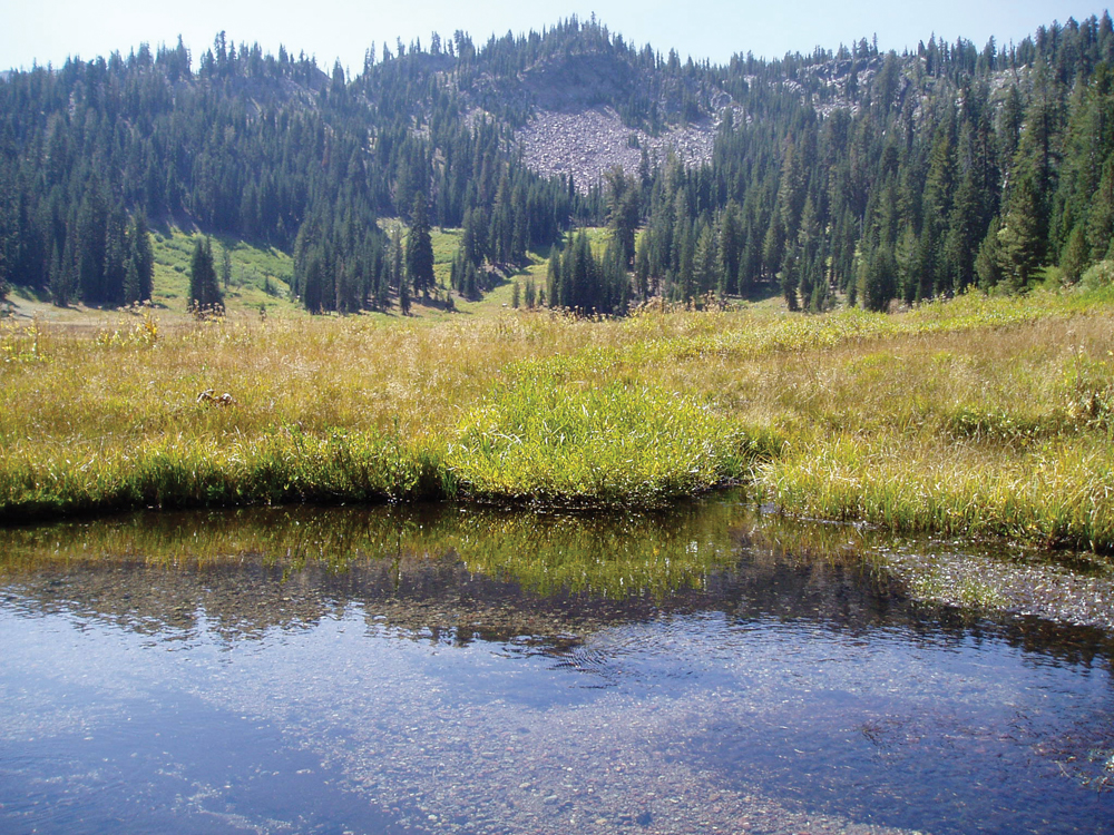
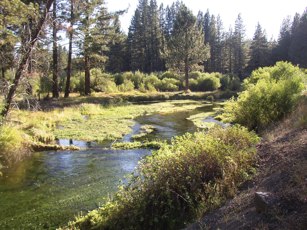
Hat Creek above Highway 299
The Watershed at a Glance
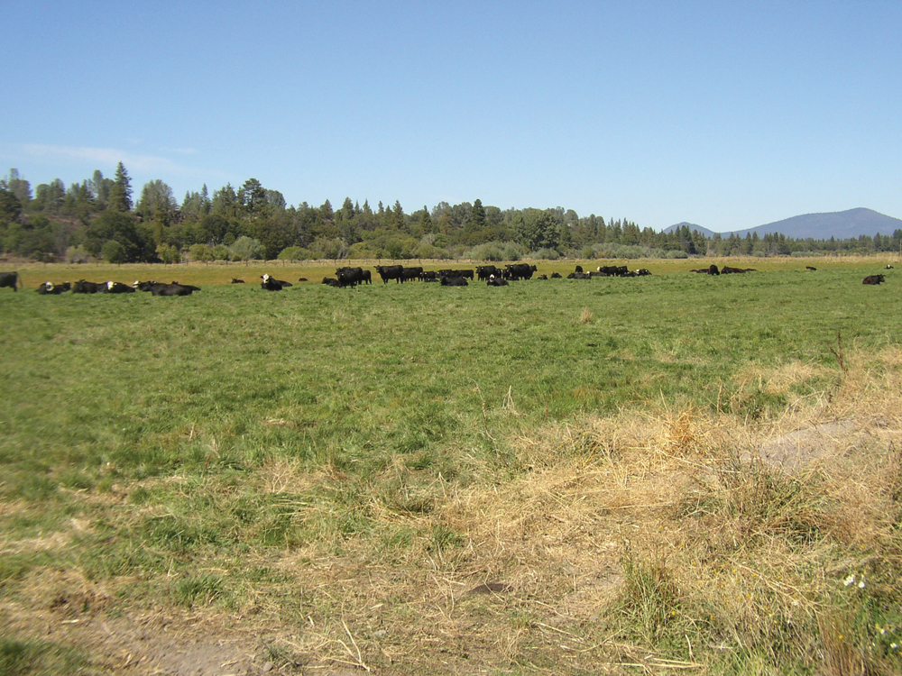
Hat Creek is a major Pit River tributary entering Lake Britton several miles downstream of Fall River Mills. Source waters are snowmelt and groundwater flow from the volcanic geology of Lassen National Forest, Lassen Volcanic National Park, and the surrounding volcanic region. This large source of cold, clean water, and expansive public land make Hat Creek one of the state’s important designated wild trout waters. Private ranch lands along Hat Creek are used for irrigated pasture and livestock production.
Hydrology
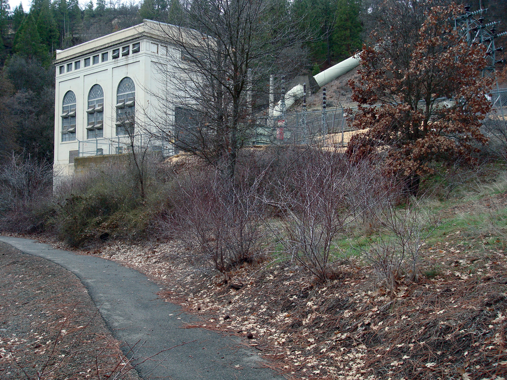
Inflow to Hat Creek and its tributaries comes mostly from precipitation that is captured underground in the extensive lava flows off the north slope of Mount Lassen and the Modoc Plateau. This results in a year-round flow that remains relatively constant with a mean daily flow of about 500 cfs. Near the town of Cassel, Hat Creek flows are captured and diverted to the Hat 1 and Hat 2 PG&E hydropower project operations. Two spring-fed lakes, Rising River Lake and Crystal Lake, also provide significant inflow to Hat Creek.

Water Quality
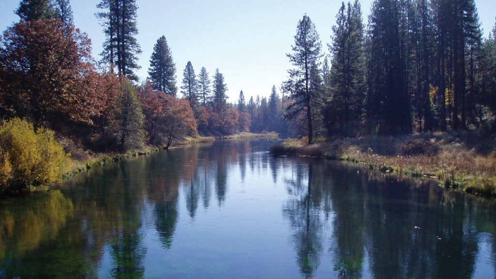
Water quality data come principally from studies by PG&E as stipulated in their FERC relicense requirements. High inflow from underground springs and seeps into Hat Creek results in very good water quality with cold temperatures (8 to 15° C), high dissolved oxygen (9 to 12 mg/l), low turbidity (0 to 2 NTU), and low dissolved solids (70 to 100 mg/l). Hat Creek water quality meets or exceeds requirements for the principal beneficial uses (coldwater species habitat, contact and noncontact recreation, hydropower production, and agricultural supply) and supports a robust wild trout population.
Fish and Wildlife
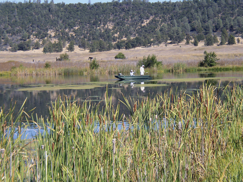
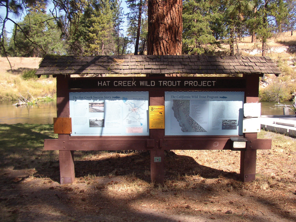
Hat Creek was designated as one of the state’s first Wild Trout Streams by the Fish and Game Commission in 1972, following a restoration project that changed the stream from one overrun with suckers and other non-game fish to a highly productive wild trout fishery. In recent years, anglers and DFG have seen a decline in the trophy trout status of Hat Creek. The suspected causes include damage from livestock grazing (now controlled), and increased erosion/sedimentation from muskrat burrowing and other sources. Problems from sedimentation have led to a decline in aquatic plant growth and production of aquatic insects. Other notable aquatic species unique to this area are the endangered Shasta crayfish and rough sculpin. DFG operates a large fish hatchery on Hat Creek at Baum Lake, and both Crystal Lake and Baum Lake provide significant wetland habitat for waterfowl production. The heavily forested, sparsely inhabited uplands provide habitat for species such as spotted owls, northern goshawks, and pine martens, while more open areas (including irrigated pasture lands) are important habitat for mule deer and greater sandhill cranes.


Vegetation
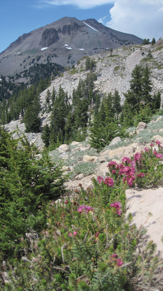
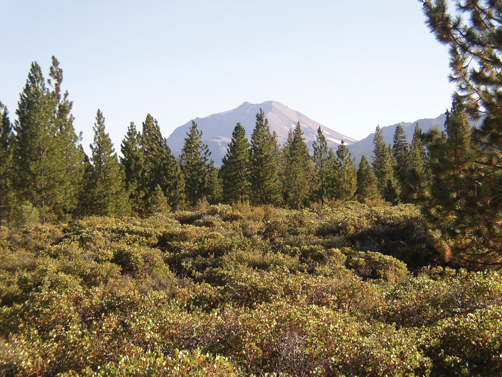
Most of the Hat Creek Watershed is dominated by conifer forests mixed with brush and some hardwoods. Meadows and riparian areas are common along drainages and in low-lying areas. Drier areas tend to support juniper and sage species. Lower in the watershed and adjacent to Hat Creek, the topography is flatter with significant acreage of irrigated agricultural land.
Life in the Watershed
Rural lifestyles with low population density characterize the Hat Creek Watershed. The small community of Hat Creek is the most populated area. More than 60% of the watershed is held by the USFS and 14% by the National Park Service. Large private timber companies also manage a significant portion of the watershed. Private ranch lands on the valley floor along Hat Creek support livestock production, pasture and hay, and recreation.
Management Objectives
Fall River RCD recently completed the Hat Creek Watershed Assessment and Management Strategy (March 2010). In summary, management objectives identified in this report are as follows:
- improve habitat quality for wild rainbow trout;
- improve recreational opportunities while reducing impacts of dispersed recreation;
- improve forest health and manage wildfire risk;
- maintain the excellent water quality of Hat Creek;
- sustain water supply for irrigation demands, hydropower, and ecological needs;
- support community sustainability by strengthening natural resource–based economies; and
- improve data collection, data sharing, and information outreach.
Management Organizations Active in the Watershed
Fall River RCD
The Hat Creek Watershed lies within the jurisdiction of the Fall River RCD. The RCD recently completed the Hat Creek Watershed Assessment and Management Strategy and will be working with the Hat Creek Resource Action Committee, the Fall River Conservancy, and other stakeholders to identify and implement specific improvement projects.
Hat Creek Resource Action Committee
The Hat Creek Resource Action Committee is an informal advisory group of agencies, fishing organizations, PG&E, and tribal interests that meet periodically to discuss stream conditions and identify project opportunities for Hat Creek. The group was instrumental in implementing a project to treat a 750-ft reach of eroding streambank that was destabilized by muskrat burrowing, cattle trampling, and angler foot traffic.