Whitewater kayaker on the Lower Pit River
The Watershed at a Glance
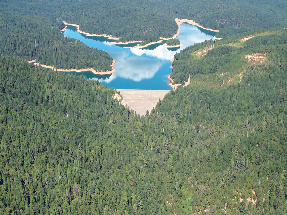
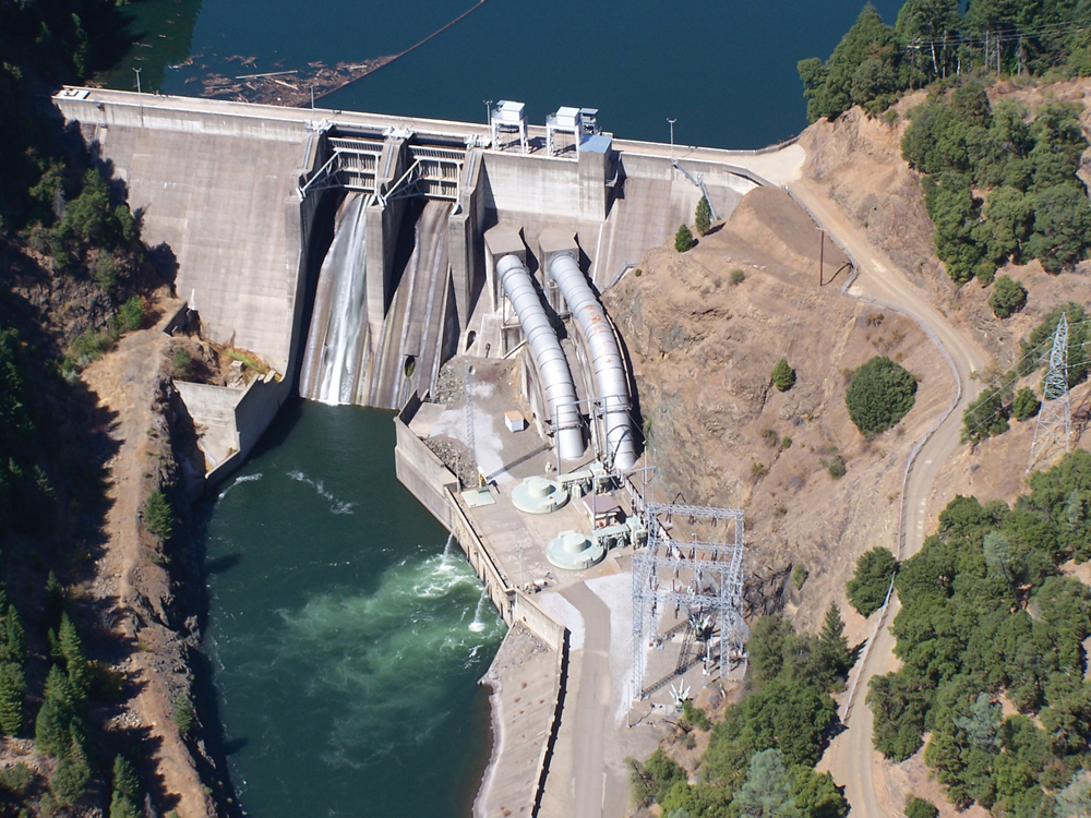
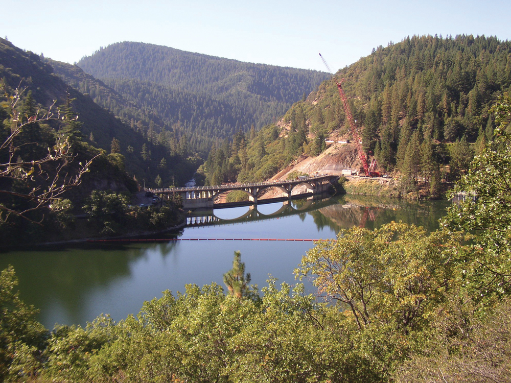
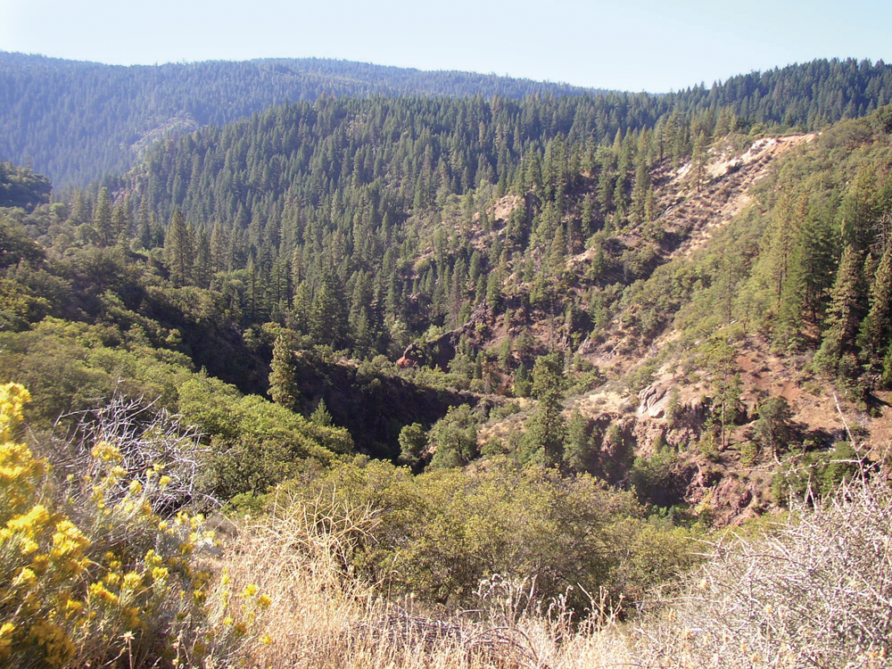
The Lower Pit River Watershed starts at Lake Britton and continues downstream for approximately 40 miles to the confluence with Lake Shasta. In this reach is a series of PG&E reservoirs that are operated for hydropower generation (Pit 4, 5, 6, and 7 Reservoirs). The watershed area is mostly steep, forested terrain that lies within the Shasta-Trinity National Forest or is privately owned by PG&E and commercial timber companies. The area is unpopulated except for the small community of Big Bend. River management in this part of the Pit River Watershed is controlled principally by PG&E and the FERC requirements that were stipulated in the recently completed Pit 3, 4, and 5 relicense agreements. Management issues center on required instream flow in the river needed to protect aquatic life, recreational uses, and ecological functions within the river corridor.
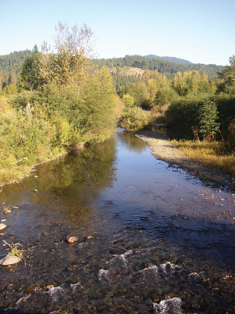
Hydrology
The daily average Pit River flow through this reach is about 3,000 cfs, and summer flows rarely fall below 2,000 cfs. River flows are regulated through operation of Lake Britton, a 140,000-acrefoot reservoir, and the series of PG&E reservoirs downstream. Flows in this reach of the Pit River also are augmented by the PG&E McCloud-Pit Hydropower Project, where water is diverted from the McCloud River and transported to the Pit River through Iron Canyon Reservoir. Minimum bypass flows for the Pit 3, 4, and 5 reach of the river are stipulated in the FERC license (i.e., required instream release from hydropower operations in order to maintain the river ecosystem).
Water Quality
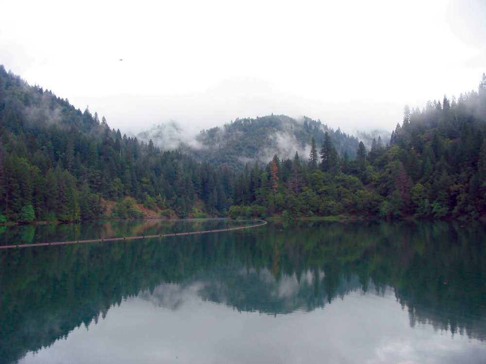
Water quality through this reach of the Pit River is generally good, and the water quality concerns that do exist are influenced largely by the quality of the Pit River coming out of the upper watershed. These concerns include nutrient enrichment and algae blooms in Lake Britton, water temperature, and high levels of turbidity and suspended solids.
Fish and Wildlife
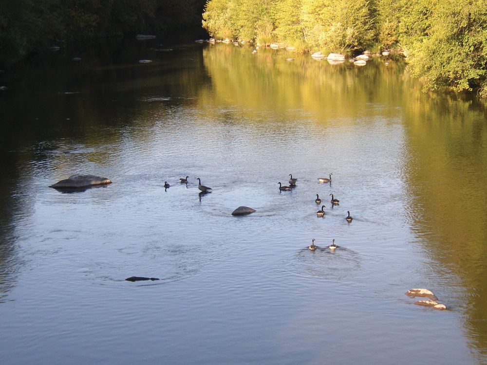
This reach of the Pit River supports warm water species (e.g., bass, crappie, catfish, bullhead), primarily in Lake Britton, and an outstanding coldwater fishery for native rainbow trout n the lower river. Native and nonnative fish species are important prey items for the significant population of bald eagles. The Lower Pit River Watershed harbors one of the state’s most important bald eagle populations, and it includes both resident and migratory birds.
Vegetation
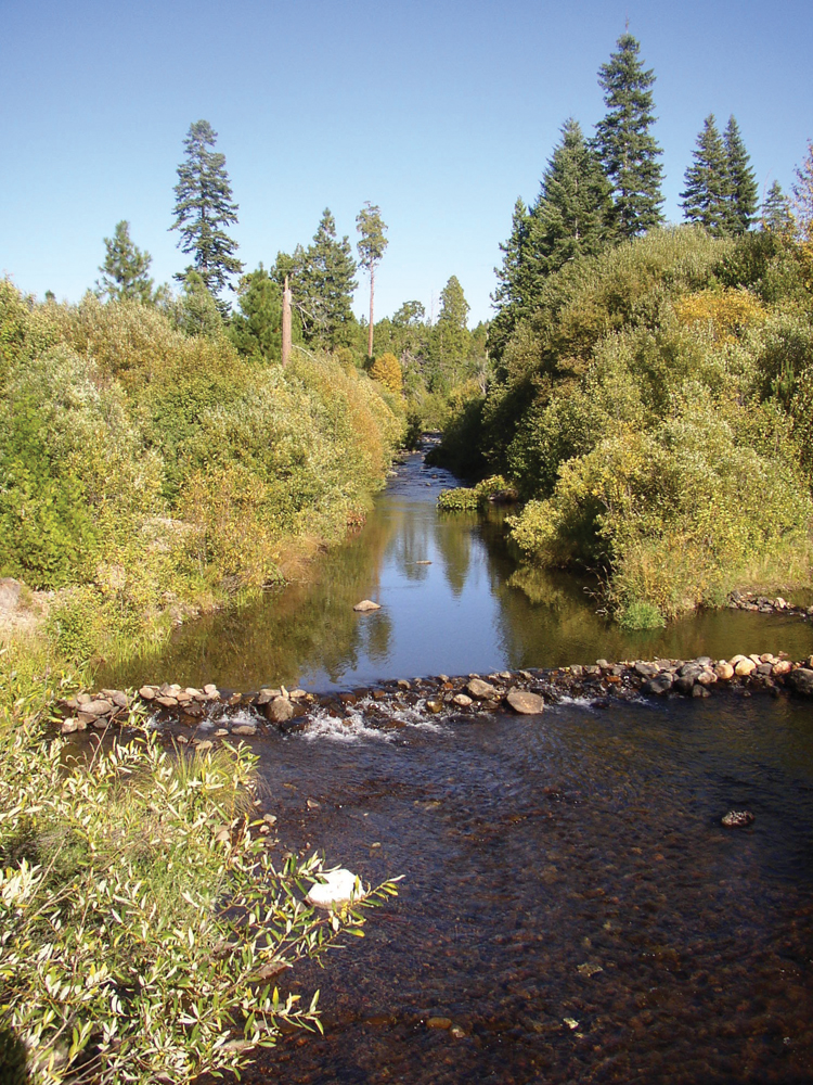
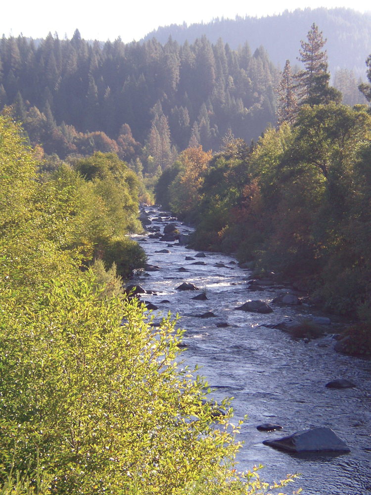
Upland vegetation is predominantly mixed conifer and oak woodland. A narrow band of riparian vegetation grows along the Pit River, and the transition from riverine habitat to upland habitat is abrupt. Tree species common in the riparian area are alder, big-leaf maple, Oregon ash, and willow.
Life in the Watershed
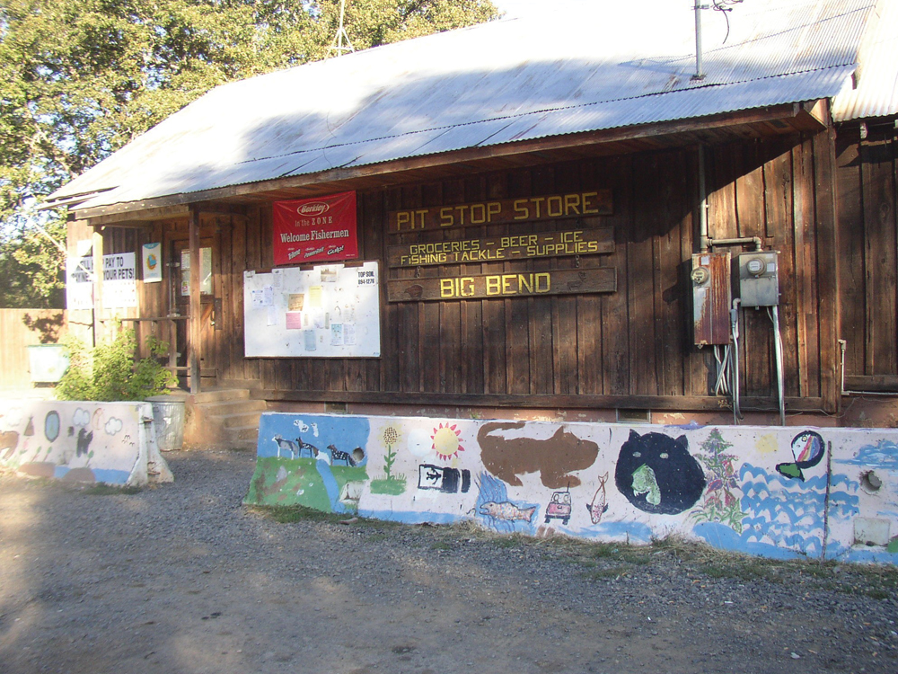
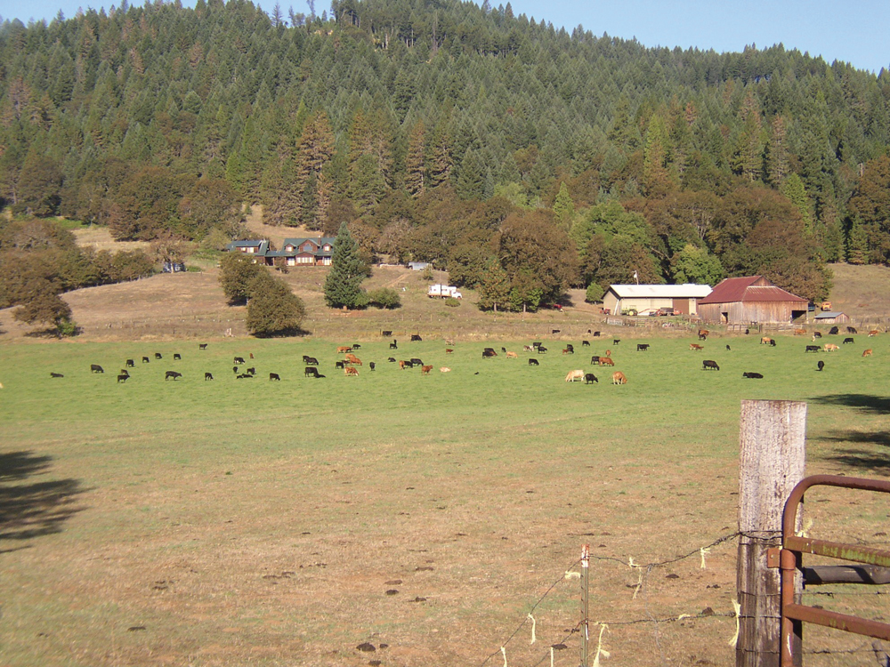
Native American peoples have historical and cultural ties with the Lower Pit River region (and throughout the entire Pit River Watershed). Native American inhabitants of the watershed, collectively known in past literature as the Achumawi, are today referred to as the federally recognized Pit River Tribe. In addition to the numerous tribal properties, land in this watershed area is mostly within the Shasta-Trinity National Forest, or is private land owned by PG&E. There are also large tracts of privately owned commercial timberland designated by Shasta County as Timber Management Zone. The small community of Big Bend and its surrounding rural residents number about 300.
Management Issues
Key issues associated with licensing the hydropower operations in the Lower Pit Watershed include establishing an appropriate flow regime in the bypassed reaches of the river to maintain sustainable ecosystem functions and to protect and enhance fish and wildlife resources, particularly native rainbow trout and bald eagle populations. Management in the Lower Pit Watershed is mostly the responsibility of PG&E and the USFS; however, state and federal resource agencies, the Tribe, and other watershed residents have provided substantial input to the agreed-upon operating conditions for this reach of the river.