Pit River Falls
The Watershed at a Glance
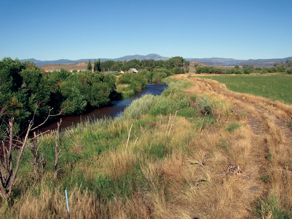
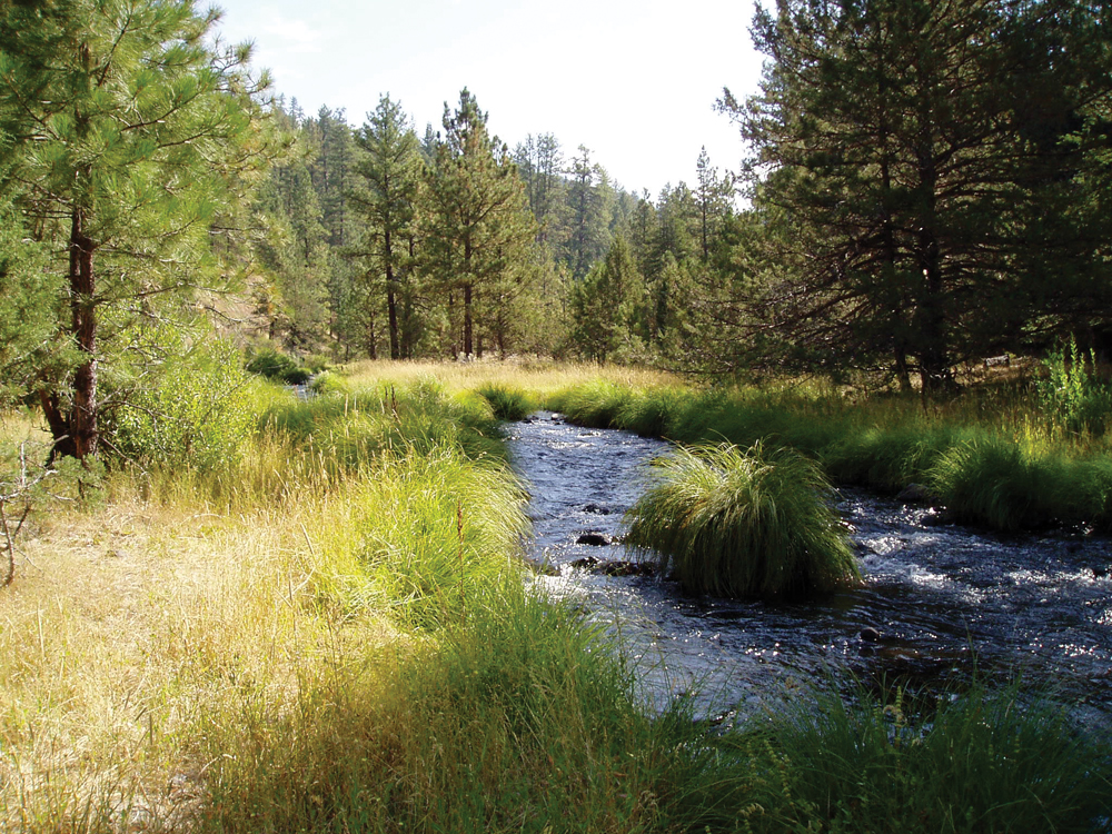
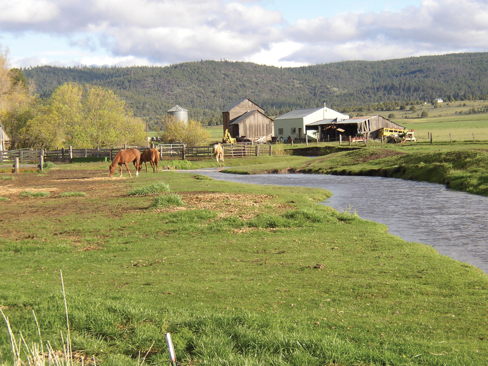
The Upper Pit River Watershed begins in the Warner Mountains of northeast California and flows in a southwesterly direction toward Shasta Lake. For planning and management purposes, the Upper Pit Watershed includes that area from the Pit River headwaters downstream to the confluence of Fall River. Below that confluence, the Pit River markedly changes character because of the inflow of large volumes of cold water from Fall River, Hat Creek, and Burney Creek. The watershed is characterized by sagebrush, juniper, and mixed conifer forests, rugged mountains, and broad alluvial valleys that contain significant riparian areas, meadows, and irrigated pasture. Most upper elevation lands are publicly owned (USFS and the BLM). Midand low-elevation private lands are used for timber production and irrigated agriculture (primarily cattle ranching). The watershed is unique with regard to its sparse population, vast open space, and habitat for a wide range of fish and wildlife species.
Hydrology
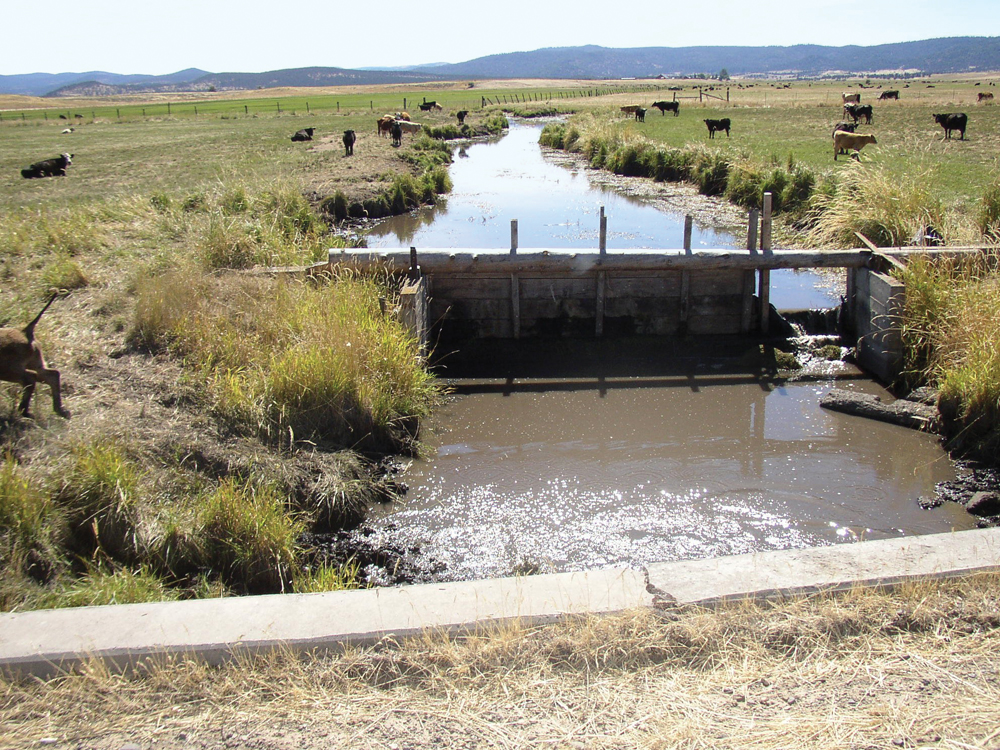
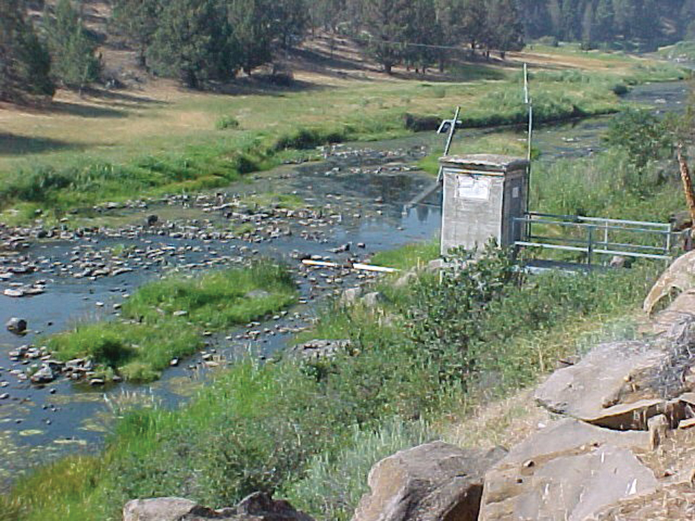
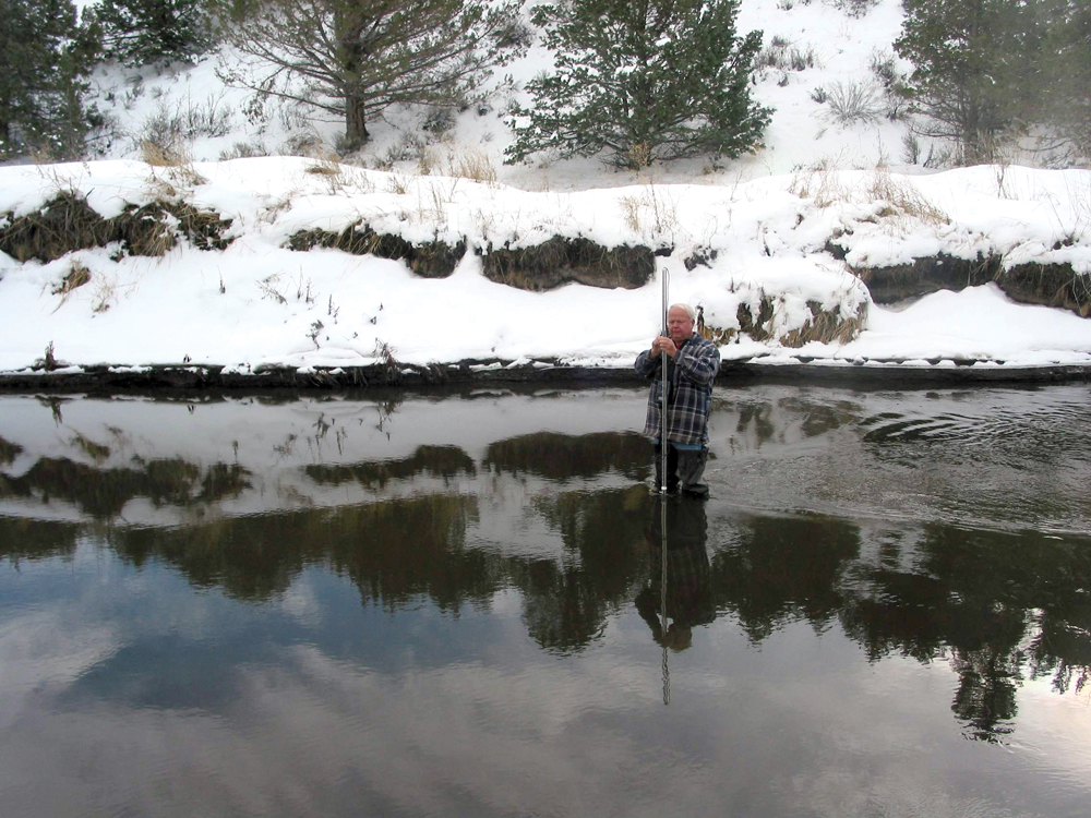
The North Fork and South Fork Pit River are fed by runoff from the westside of the Warner Mountains. They converge at the city of Alturas and flow southwesterly for approximately 60 miles to the confluence with Fall River. There are 21 principal tributaries totaling more than 1,000 linear miles of perennial stream. Flow gaging on the Pit River at Canby (mid-watershed location) has been maintained since 1904, and average daily flow at this location is approximately 250 cfs. Summer season flows typically range from 0 to 20 cfs with a peak flow of 9,100 cfs in 1986. There are 63 jurisdictional dams and reservoirs in the watershed that seasonally store rainfall and snowmelt and then release that water for irrigation use through the summer season. A series of dams on the mainstem of the Pit River is used to store and divert water for agricultural use during the irrigation season. There are seven principal alluvial groundwater basins in the watershed, with Alturas and Big Valley Basins being the largest. In addition to the surface water diversions, groundwater is used extensively to meet irrigation water demands.

Water Quality
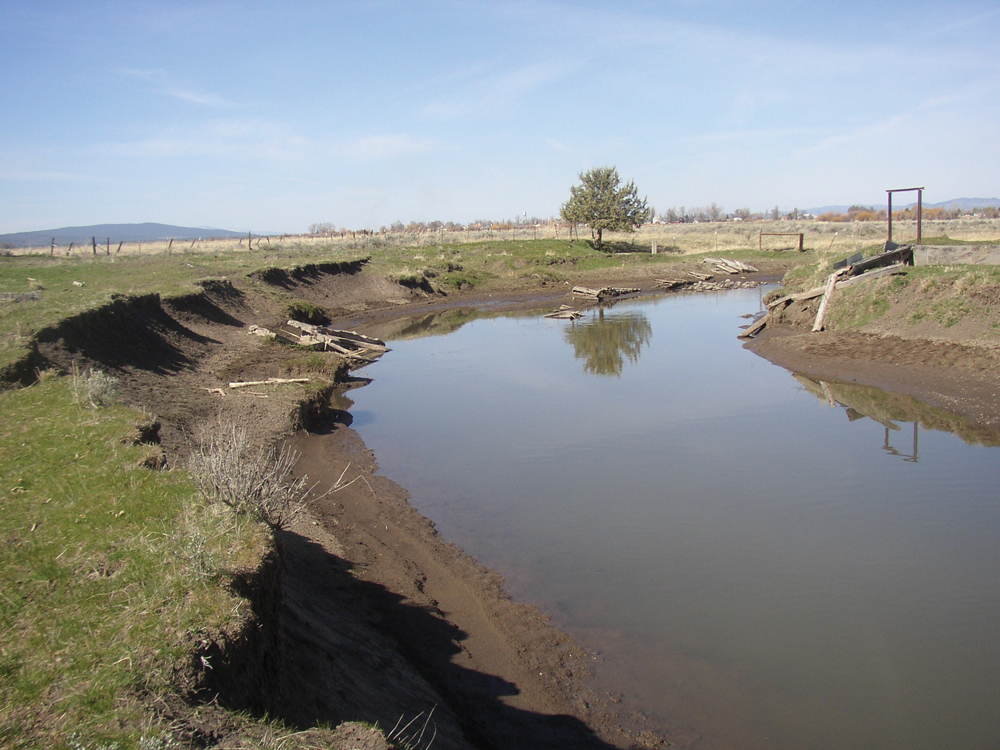
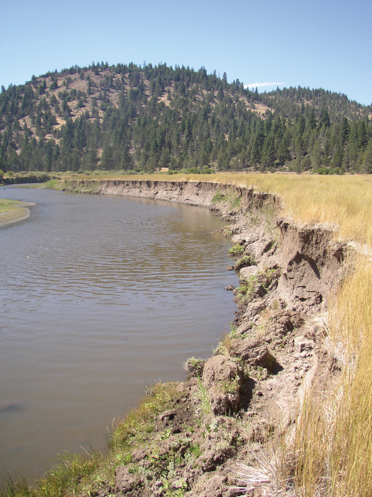
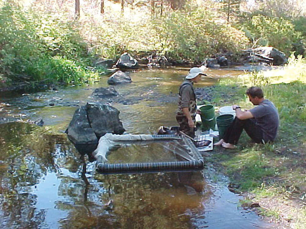
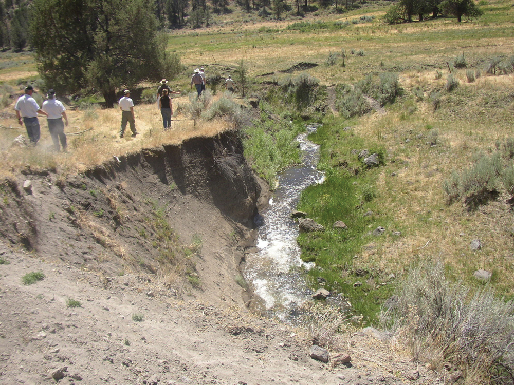
The most recent comprehensive water quality monitoring study was done by the Pit River Alliance and the Central Valley RWQCB between 2000 and 2005. Data were collected at 12 river sites and approximately 30 sites on tributary streams. Beneficial uses designated for the Pit River include support for cold- and warmwater aquatic life, recreation, and municipal, industrial, and agricultural supply. The mainstem of the Pit River (headwaters to McArthur) is 303(d) listed as impaired for temperature, dissolved oxygen, and nutrients. In addition, several tributaries were recently listed as impaired for elevated levels of fecal coliform bacteria (E. coli). Water quality in the Pit River Watershed is influenced by a variety of current land and water use practices, past management practices, and natural geologic and climate conditions. The Pit River typically has relatively high levels of turbidity and suspended sediment, particularly during peak runoff events. Water quality improvement efforts in the watershed involve a combination of improved management practices and restoration projects to address legacy issues that have degraded channel and habitat conditions.
Fish and Wildlife
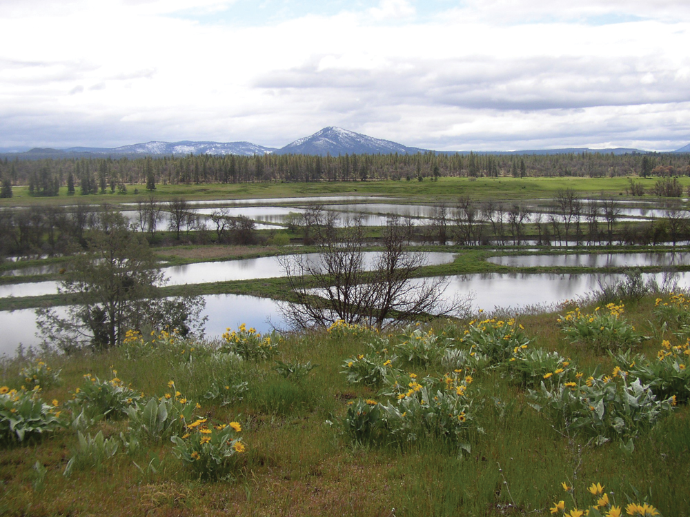
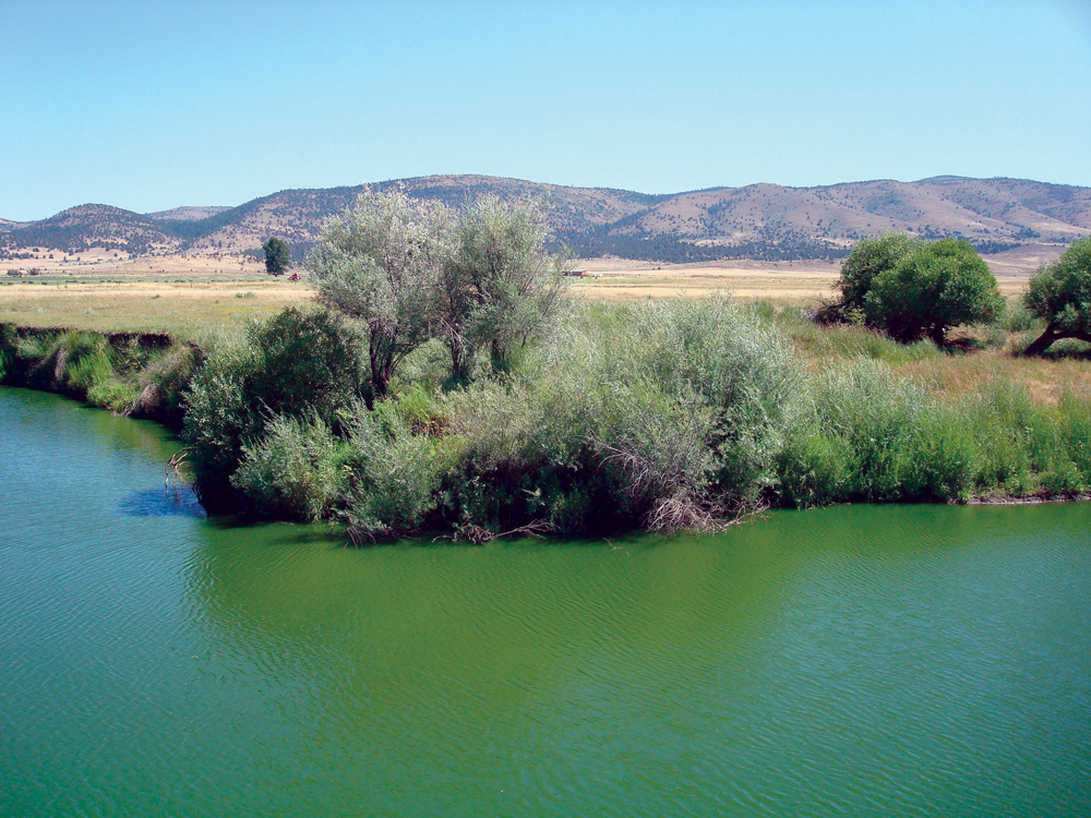
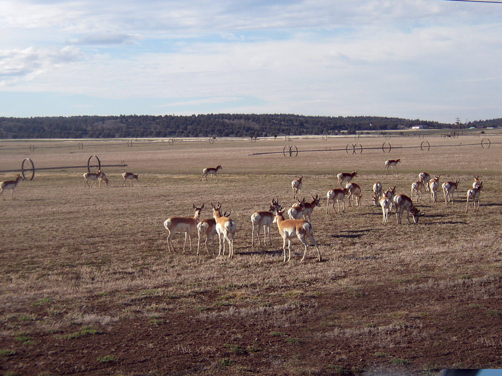
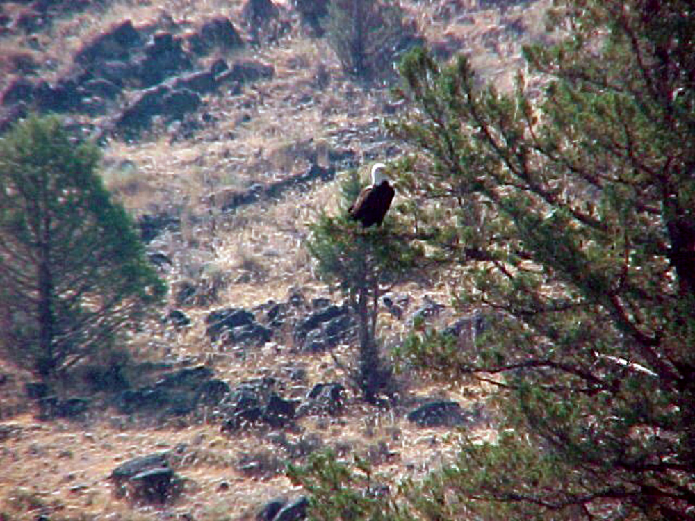
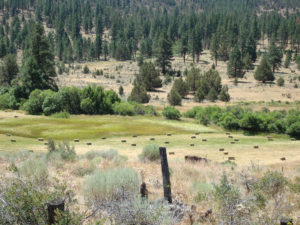
Given its large and relatively uninhabited landscape, the Upper Pit River Watershed is one of the state’s most important regions for fish, wildlife, and associated aquatic resources. This diverse and unique natural aquatic fauna includes some federally and state-designated special-status species (e.g., Modoc sucker, rough sculpin, Pit roach, western pond turtle, and Shasta crayfish). Many of the tributary streams support good populations of rainbow trout in their upper elevations, while warmwater species such as bass and brown bullhead dominate lower-elevation reaches. Wetlands and irrigated agricultural habitats in the watershed provide habitat for both migratory and resident waterfowl. There are abundant populations of duck species, white and dark Canada geese, and sandhill cranes. Both Ducks Unlimited and California Waterfowl Association have been actively working with landowners on projects to improve waterfowl habitat. Upland areas contain some of the state’s most important habitat for mule deer, elk, and antelope.
Vegetation
The upper elevations of the watershed are characterized by mixed conifer forest, juniper, and some stands of aspen. Sagebrush is common throughout the watershed. The lower-elevation, alluvial valley areas contain significant wetlands, riparian areas, and irrigated farmland (pasture, hay, and alfalfa). One of the principal management concerns has been the progressive increase in density and distribution of juniper stands resulting in impacts on range conditions, wildlife habitat, and water resources.
Life in the Watershed
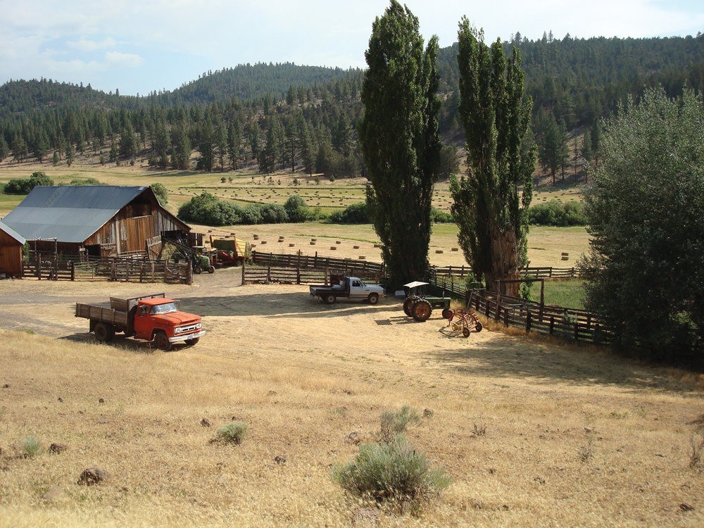
Rural lifestyles and a population density of fewer than 10 persons per square mile characterize the Upper Pit River Watershed. The largest city is Alturas, with a current population of 2,840. Other communities include Adin, Bieber, McArthur, and Fall River Mills. Irrigated agriculture (pasture, hay, and some specialty crops such as mint and wild rice), livestock production (cattle and sheep), timber production, and recreation (camping, hiking, hunting, and fishing) are the principal economic drivers in the watershed. The overall population of Modoc County has seen little change in the past 70 years (8,000 in 1930, compared to 9,500 in 2000). Efforts to improve and stabilize the local economy are focused primarily on strengthening natural resource–based industries.
Management Objectives
A watershed-scale management effort began in October 2000, with the establishment of the Pit River Alliance (a collaborative, nonprofit organization of agencies, private landowners, and resource advocates). This led to the completion of the Upper Pit River Watershed Assessment (October 2004) and the Upper Pit River Watershed Management Strategy (March 2010). The strategy discusses primary management issues and recommends projects and other actions to achieve the following objectives:
- improve water quality in the Pit River and tributaries;
- increase summer base flow to benefit habitat and irrigation needs;
- reduce river and stream channel erosion;
- sustain and improve aquatic, riparian, and wetland communities;
- sustain and improve upland vegetation and wildlife communities;
- control spread of invasive species and noxious weeds;
- establish better coordination of data collection and information sharing;
- support community sustainability through natural resource–based economies; and
- strengthen community watershed stewardship through education and outreach.
The Upper Pit River Watershed (including Fall River, Hat Creek, and Burney Creek) has received “regional” designation from the IRWM program. The Pit River Alliance, together with the Northeastern California Water Association, has taken the lead in pursuit of an IRWM planning grant.
Management Organizations Active in the Watershed
Pit River Watershed Alliance
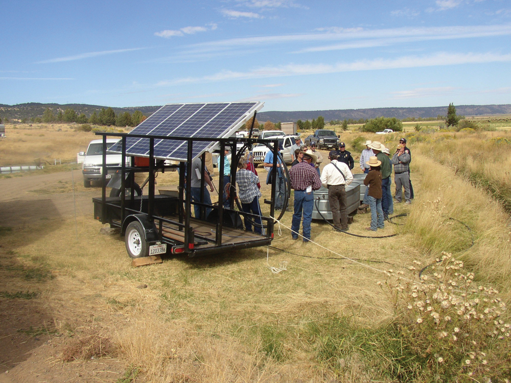
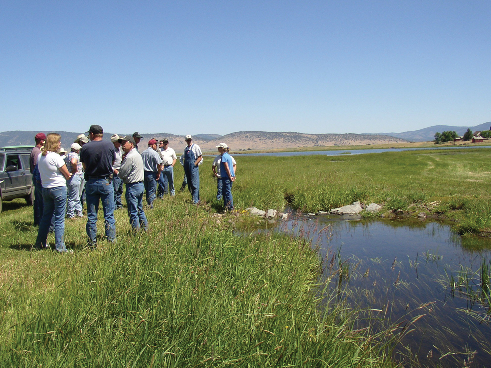
Formed in December 1999, the Pit River Watershed Alliance is a collaborative group of agencies and landowners working to achieve long-term economic and environmental health of the watershed. There are 27 signatory partners to the Pit River Watershed Alliance MOU, and administrative assistance is provided by the North Cal-Neva Resource Conservation and Development Council. Notable achievements include 5 years of watershed monitoring data, the 2004 Pit River Watershed Assessment, and the 2010 Upper Pit River Watershed Management Strategy. Given the large volume of public land in the watershed, both Modoc National Forest and BLM have been active participants in the Alliance and have implemented numerous environmental improvement projects on the lands they manage.
Resource Conservation Districts
The Upper Pit River Watershed is within the jurisdiction of the Central Modoc, Pit, and Fall River RCDs. These organizations have been actively involved in assisting private landowners and implementing on-the-ground watershed improvement projects. These include projects to address channel erosion and habitat loss, improved livestock management, stream restoration projects to restore floodplain function and wet meadow conditions, and projects to improve upland vegetation (juniper removal and reducing fire and management of forest fuel-load conditions). Resource advocate groups such as California Waterfowl Association, Ducks Unlimited, and Cal Trout also have made significant contributions toward ecosystem improvement projects on private lands.
Northeastern California Water Association
Northeastern California Water Association is a watershed-wide organization of agricultural water users formed principally to protect local water rights. The organization also has assumed responsibility as the coalition to represent agricultural dischargers and comply with the requirements of the Central Valley RWQCB’s Irrigated Lands Regulatory Program.
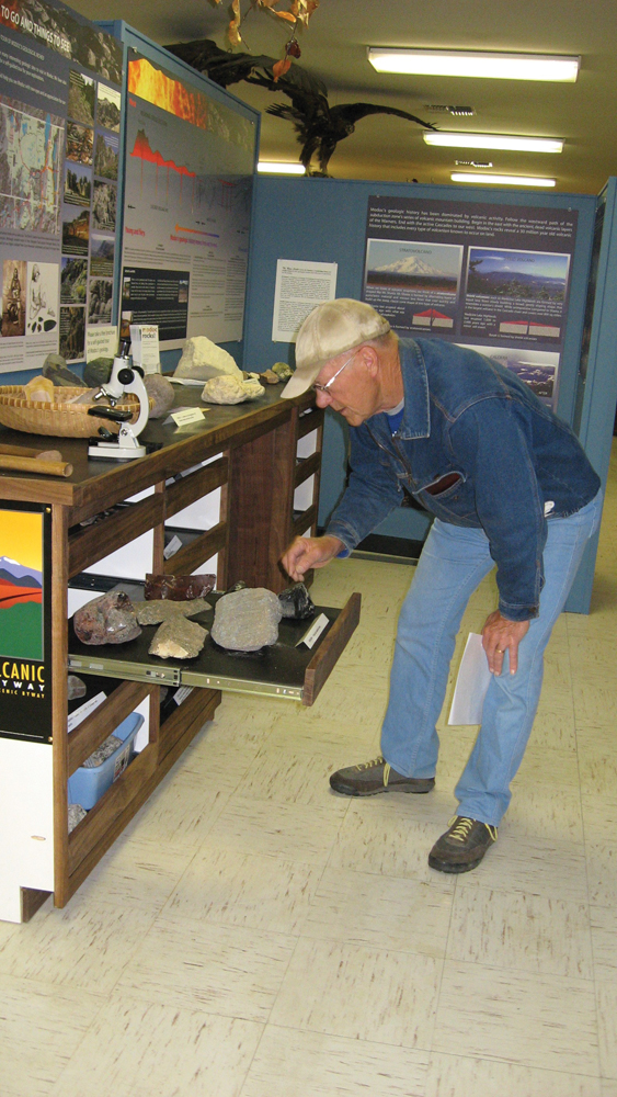
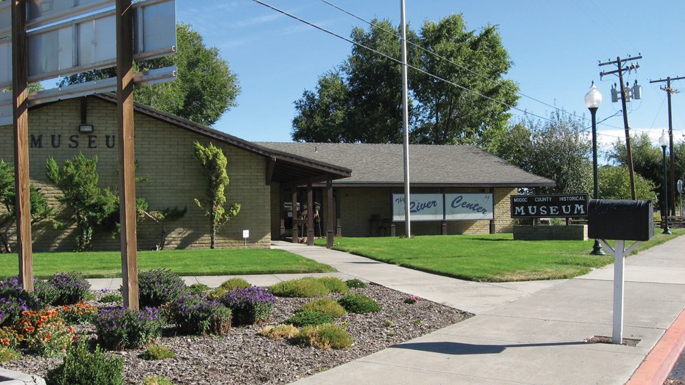
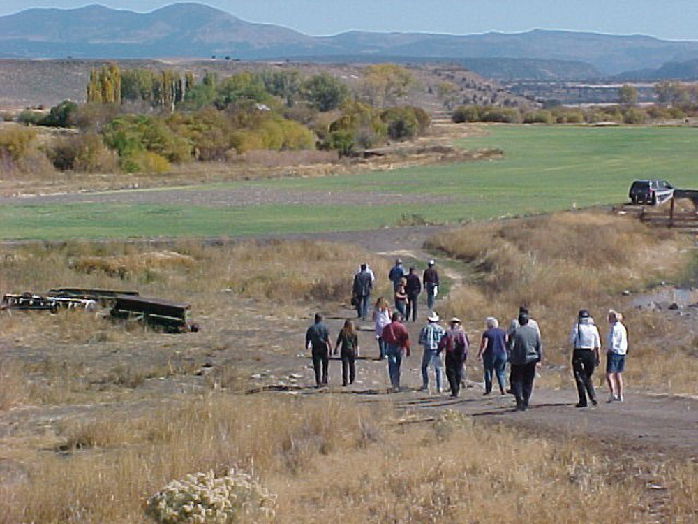
The River Center
Established in 1995, the River Center is a nonprofit community education center located in Alturas and supported by the Central Modoc RCD and Modoc County Office of Education. The River Center mission is to foster natural-resource stewardship and promote the sustainability of the local community. Programs include a visitor and interpretive center, watershed curriculum development for teachers and students, special events, field trips, and tours. The overall objective is to increase community appreciation and understanding of the attributes of the Pit River Watershed.