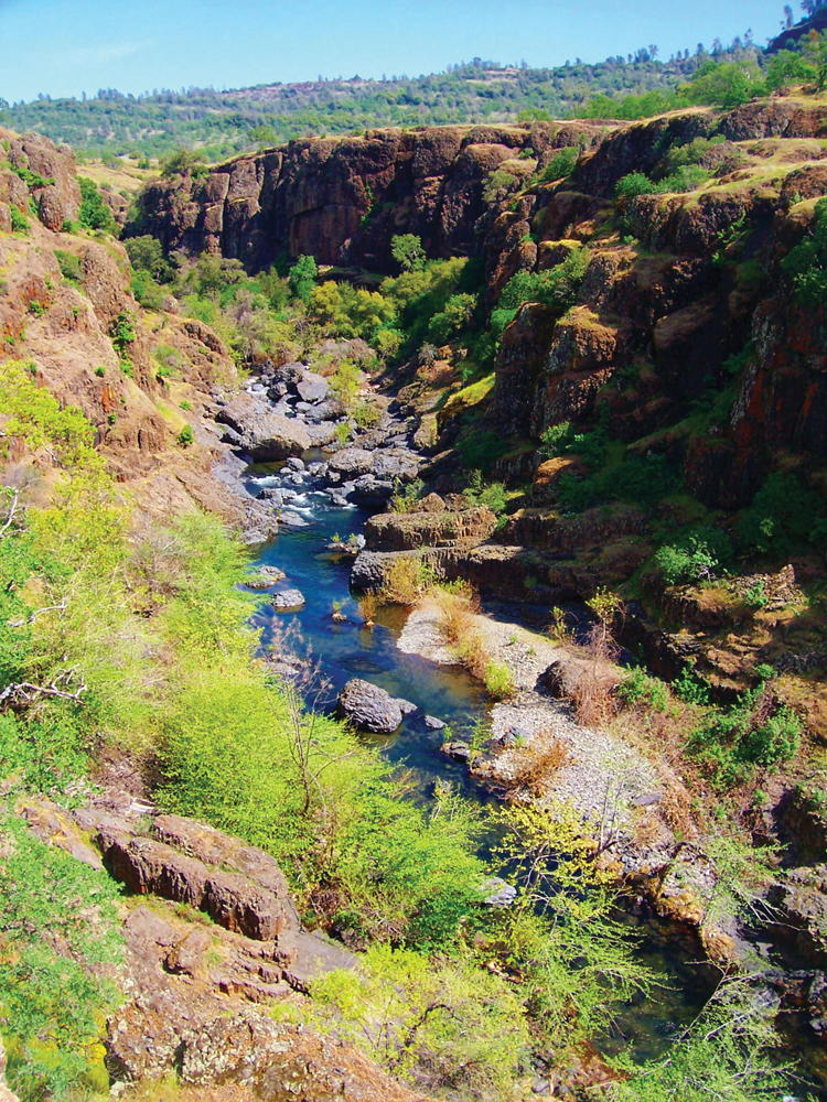
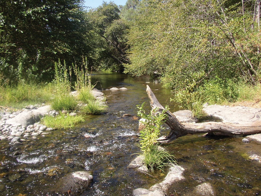
Big Chico Creek in Upper Bidwell Park, Chico
Photo by Dane Bracewel
The Watershed at a Glance
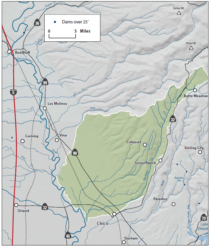
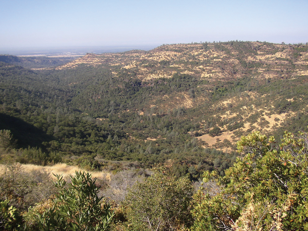
Big Chico Creek originates at an elevation of about 5,000 feet northeast of the city of Chico near Butte Meadows and Colby Mountain. The watershed consists mostly of forest in the upper elevations, transitioning to rangeland in the mid-elevation and irrigated agriculture in the lower reach near the Sacramento River. Big Chico Creek passes through the city of Chico and is heavily used for recreation and aesthetic purposes by city residents. The watershed includes three smaller drainages to the north—Sycamore, Mud, and Rock Creeks. The watershed supports important habitat for anadromous falland spring-run Chinook salmon and steelhead.
Hydrology
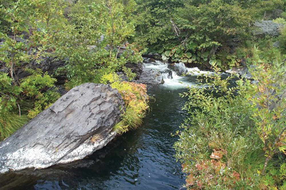
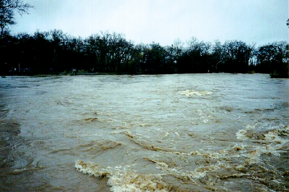
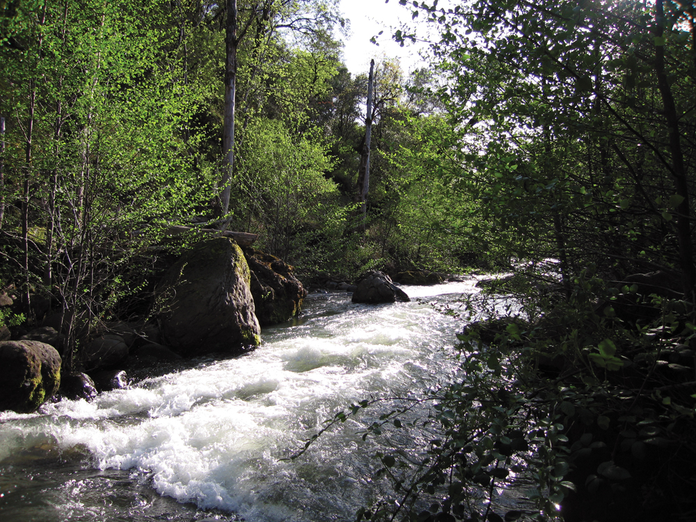
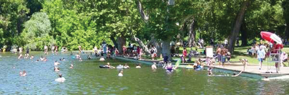
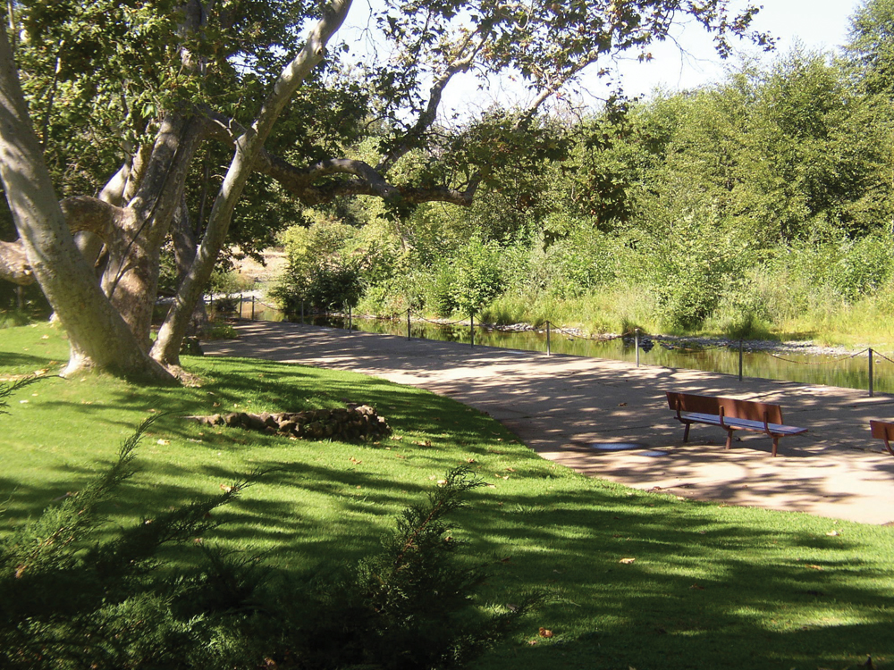
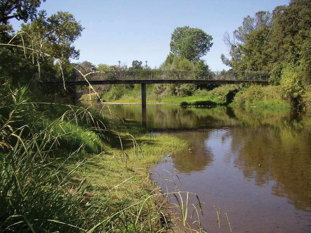
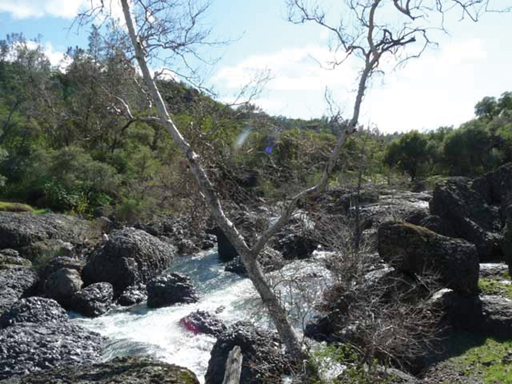
Big Chico Creek originates in a series of springs, forming a single main channel at Chico Meadows. It flows through forest and canyon lands, Upper and Lower Bidwell Park, and downtown Chico. At about the mid-point of its 45-mile channel length, there is a significant waterfall that forms Higgins Hole—the uppermost barrier for anadromous fish migration. Within Upper Bidwell Park, the creek assumes a pool and drop morphology, and there is a series of popular swimming holes that are also used as over-summering holding grounds for spring-run Chinook salmon. Within the city of Chico, both Five Mile Dam and One Mile Dam create public recreation and swimming areas heavily used by city residents. The creek as it runs through the city of Chico remains in a relatively natural state, with few cemented or rocked sections. The creek flows directly through the CSU Chico University campus, providing a living research laboratory. Near this location is a USGS gaging station that was operated from 1931 to 1986. Since 1997, flow monitoring (at a location slightly downstream) has been conducted by DWR. Records show that the average annual flow is about 300 cfs with a peak floodflow (100-year event) of about 10,000 cfs. Just upstream of the city of Chico, floodflows are diverted into Lindo Channel to avoid damage to the urbanized area during winter storm runoff events.
Water Quality
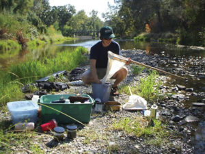
DWR has conducted consistent and long-term water quality monitoring of Big Chico Creek. Local watershed program participants also have been active in a program of macroinvertebrate collection and analysis. Water quality generally meets state standards and is protective of designated beneficial uses. Temperature is important, given the stream’s use by anadromous fish, as are bacteria because of the water-contact recreational use. Potential sources of water quality impairment in the watershed include erosion from forest and rangeland roads, urban runoff in the Chico residential and commercial area, and agricultural chemicals in the lower watershed reach. Big Chico Creek is 303(d) listed as impaired for mercury, as are many other lakes, rivers, and streams in the Sacramento River Basin.
Vegetation
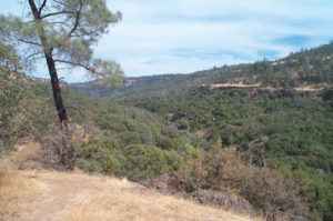
The vegetation in the watershed reflects the diversity in elevation and precipitation. The conifer forest areas of the upper watershed are largely within Lassen National Forest. As one travels downstream to lower elevation, the vegetation transitions into a chapparal zone, then to oak woodlands, and eventually into grasslands as the creek enters the valley reaches. There are a number of state- and/or federally listed endangered/ threatened plant species present in the watershed.
Fish and Wildlife
The Big Chico Creek Watershed is another of the eastern tributaries to the Sacramento River with important anadromous fish habitat and, in particular, a valued spring-run Chinook salmon population. The Eastern Tehama Blacktail Deer Herd, the largest migratory herd in California, makes use of the watershed as part of its migration and for winter range. Their numbers have been in decline over the last 50 years, attributed to fire management, urban encroachment, timber operations, and shrinking habitat. The watershed is also home to numerous state and/or federal special status species of amphibians, reptiles, birds, and invertebrates.
Life in the Watershed
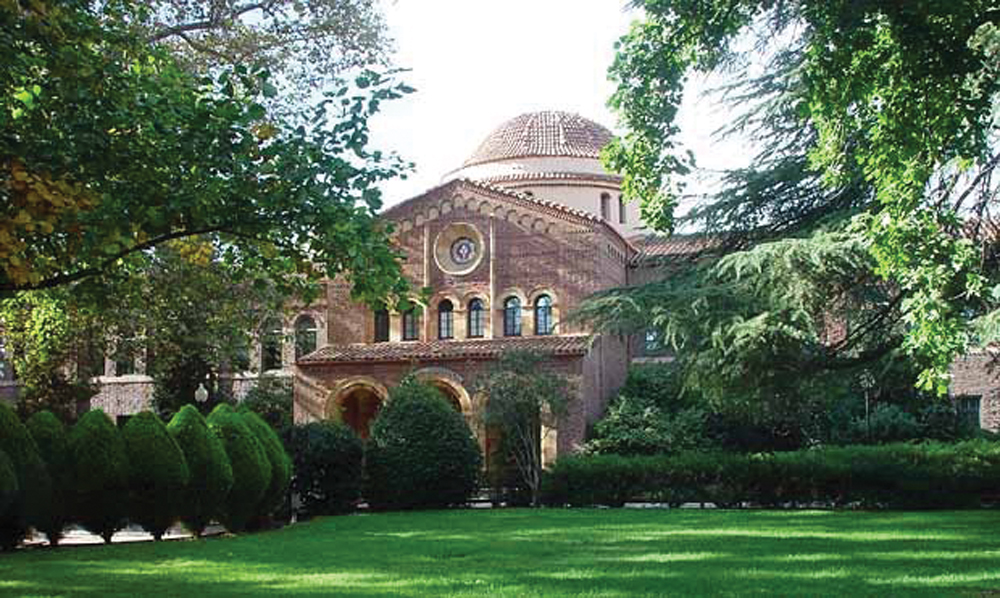
Located in this watershed, CSU, Chico, with its population of approximately 17,000 students (plus faculty and staff) is an important part of the local economy.
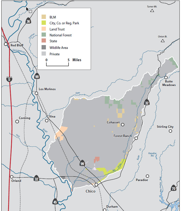
Several other large government and private employers also are located in the watershed. CSU Chico faculty and students, along with many public and private schools, take advantage of the educational opportunities provided by the creek and have provided valuable data on conditions in Big Chico Creek and the watershed overall. Acquisitions in recent years of large tracts of private land along the creek, along with City-owned Bidwell Park (at 3,670 acres one of the largest city parks in the U.S.) provide thousands of acres along the creek corridor for public use as well as guaranteeing protection of the natural resources.
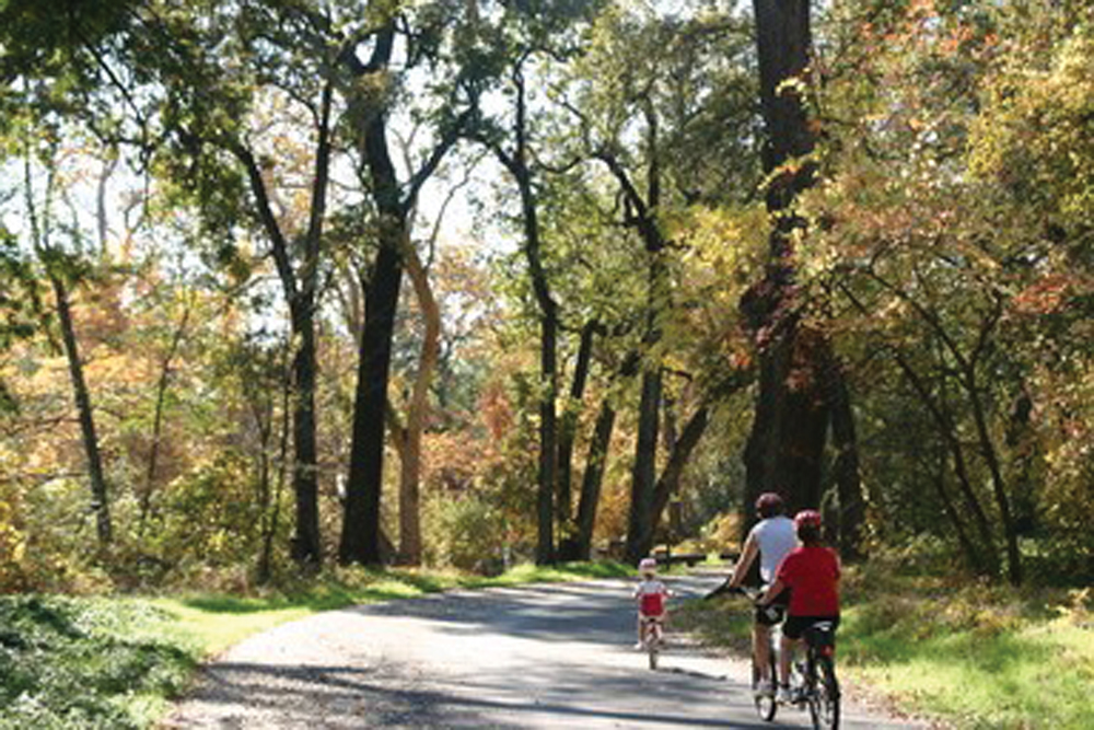
The new Chico Creek Nature Center is an environmental education and interpretive center focusing on Bidwell Park and Big Chico Creek and their natural resources and is designed to foster environmental stewardship in both adults and children. Recreation opportunities abound in the watershed. In the lower watershed, urban examples include playgrounds, bicycling, hiking, parks, and golfing.
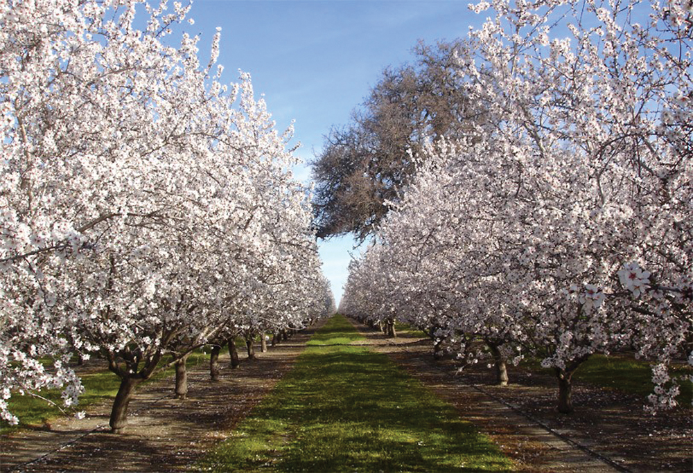
In the upper regions, more rural pursuits such as hunting, fishing, mountain biking, horseback riding, and camping are available. Residential development, forestry, grazing, and irrigation agriculture are the main land uses. State and federal wildlife areas in the lower watershed provide valuable wetland habitat, particularly for waterfowl.
Management Objectives
The Big Chico Creek Watershed Management Strategy was developed by the Big Chico Creek Watershed Alliance in 2006. It includes the following management goals and recommended actions to achieve those goals:
- protect and improve water quality within Big Chico Creek and its tributaries in order to support habitat function and human use,
- restore sustainable populations of native fish in Big Chico Creek and its tributaries,
- protect and enhance native wildlife populations in the Big Chico Creek Watershed,
- restore functioning riparian habitat along Big Chico Creek and its tributaries,
- eradicate nonnative plant and animal species that threaten ecosystem health,
- develop sustainable groundwater management strategies using an open public process,
- reduce fire danger while maintaining watershed ecological function, and
- develop educational programs in partnership with existing efforts to increase public and K–12 understanding of watershed functions.
Management Organizations Active in the Watershed
Big Chico Creek Watershed Alliance
In the late 1980s, there was increasing public and government concern related to the declining stocks of native anadromous fish in the Sacramento Valley. DFG identified impacts on Big Chico Creek fish, including operation of agricultural water supply pumps near where the stream joins the Sacramento River. This led to a collaborative study of the Big Chico Creek fishery (completed in 1991) and the establishment of a local task force that evolved into the independent Big Chico Creek Watershed Alliance in the mid 1990s. The Alliance secured grants to complete an Existing Conditions Report in 1998 and a Watershed Management Strategy in 2006.
The organization is now inactive, with it's activities folded into the Butte Environmental Council's watershed program.