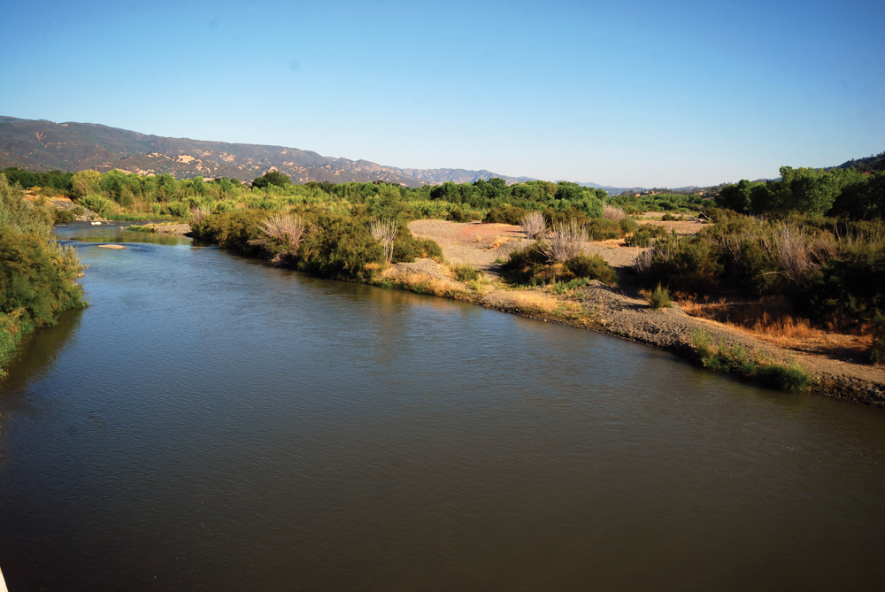
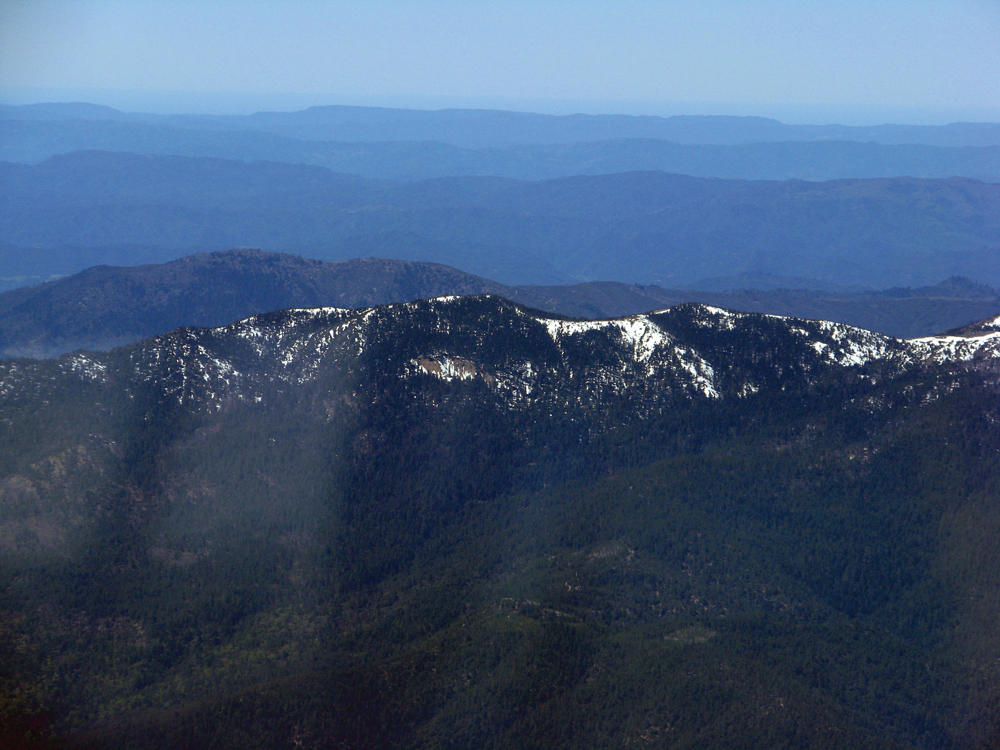
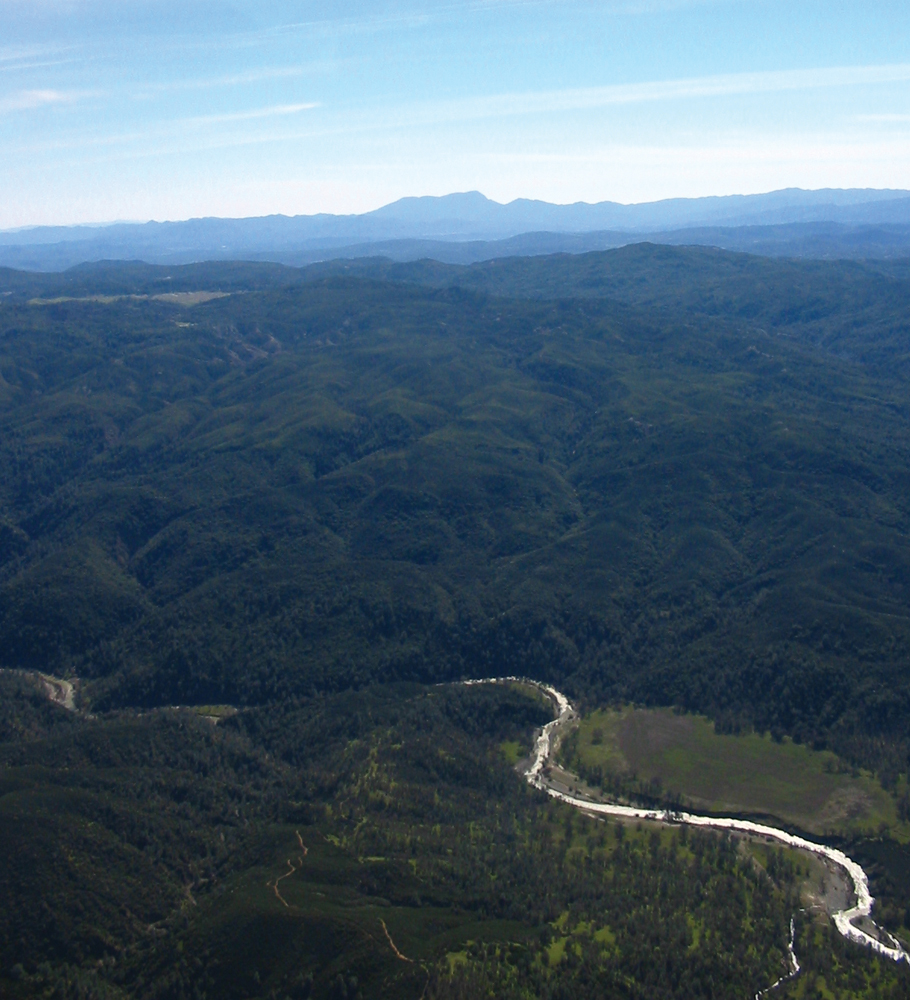
Capay Valley, looking toward the town of Rumsey
Photo by Andrew Fulks
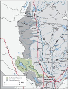
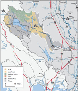
The Watershed at a Glance
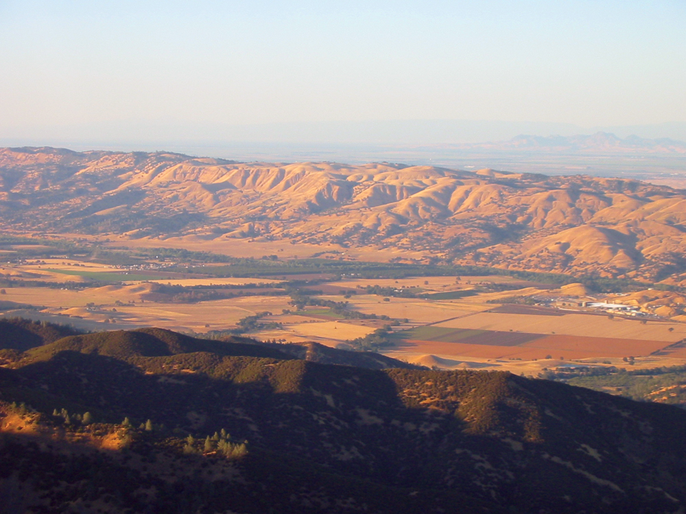
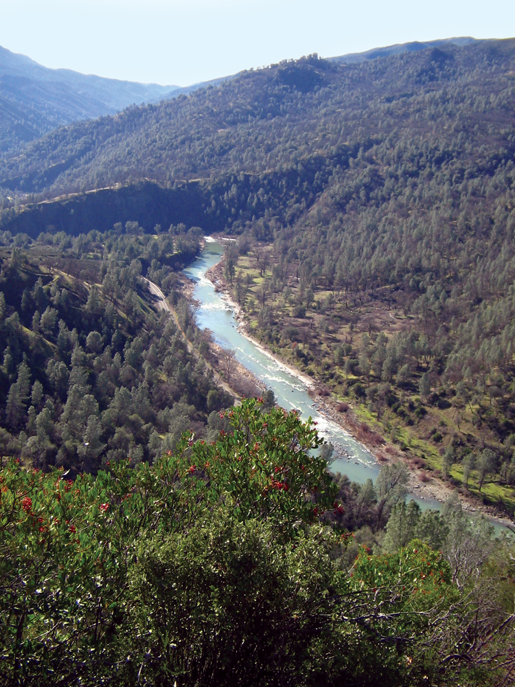
Cache Creek originates from Clear Lake in Lake County and is the only outlet for the lake. The two major tributaries to Cache Creek are North Fork Cache Creek and Bear Creek. Upper Cache Creek runs through a scenic canyon that consists mostly of mixed chaparral and is largely inaccessible. North Fork Cache Creek flows from the slopes of Goat Mountain through Indian Valley Reservoir. It merges with the mainstem below Highway 20 and flows through the Cache Creek Wilderness Area. Bear Creek flows into Cache Creek in Colusa County, which then continues through the bucolic, agricultural communities of Capay Valley in Yolo County. Rather than flowing into the Sacramento River in the lower reach, Cache Creek enters a settling basin northeast of the town of Woodland, where it deposits sediment before ultimately releasing water into the Yolo Bypass. The Cache Creek Watershed is primarily rural and sparsely populated. Agriculture is the predominant land use in the lower watershed, which together with gravel mining, is an important source of employment and tax revenue for the area. The watershed hosts a growing population of tule elk, plus winter populations of bald eagles. A large part of Cache Creek within Lake County is a federally designated Wilderness Area managed by BLM. Thirty-one miles of Cache Creek have been designated as a California Wild and Scenic River.
Hydrology
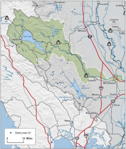
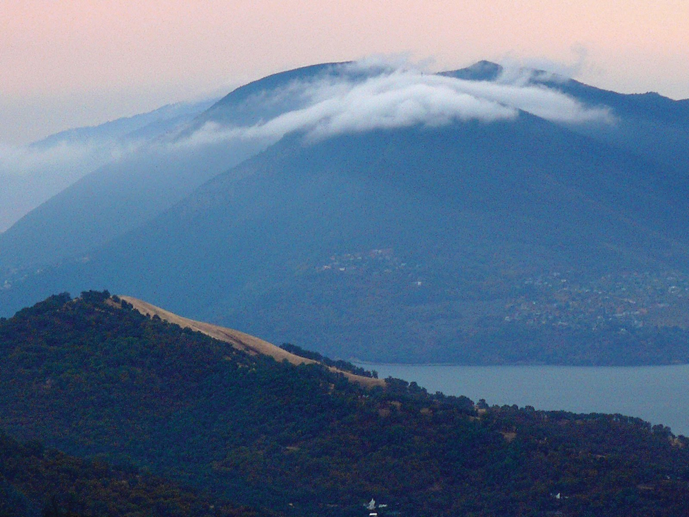
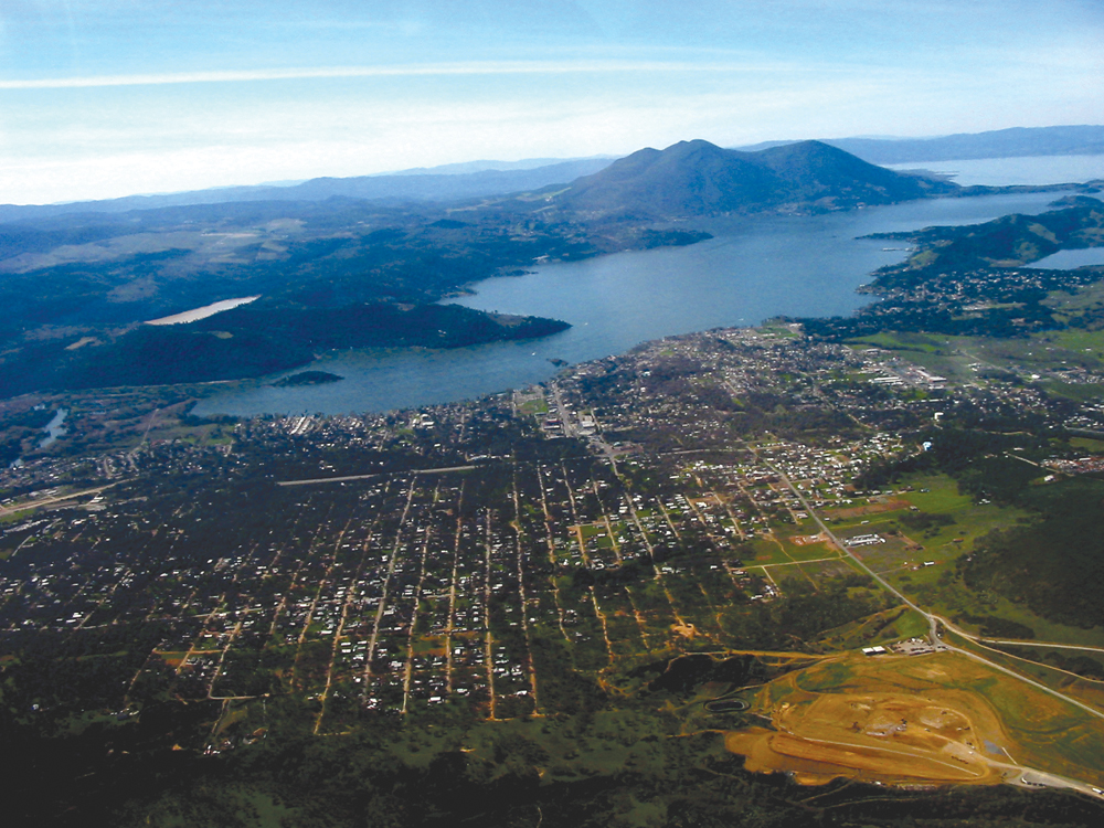
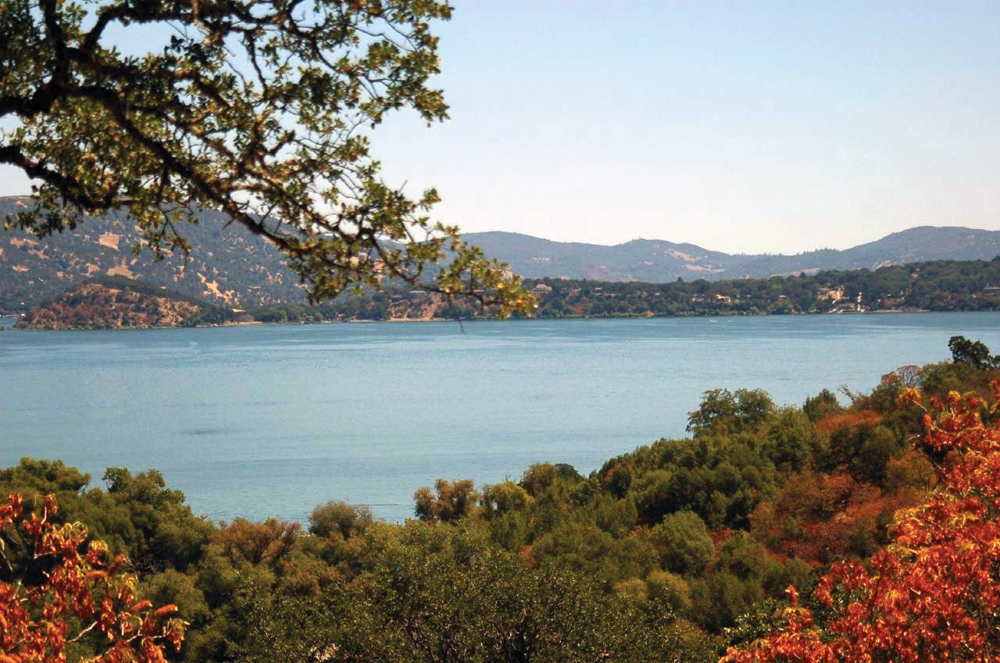
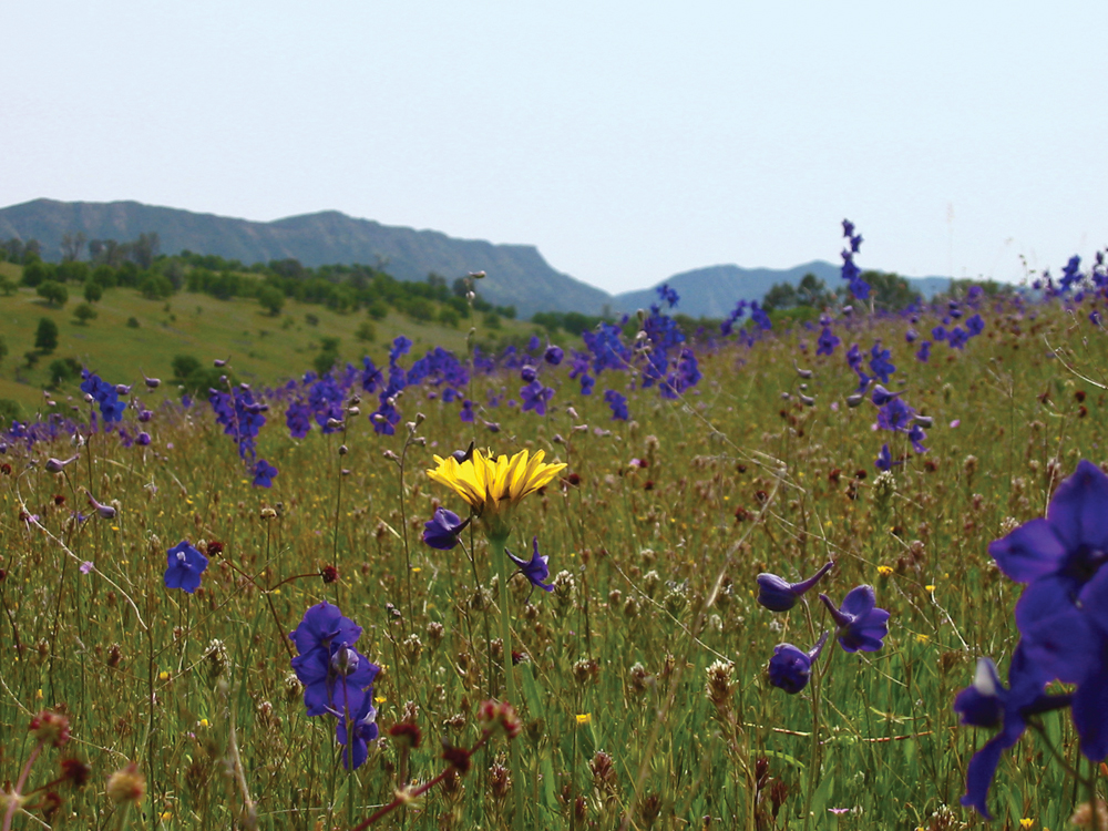
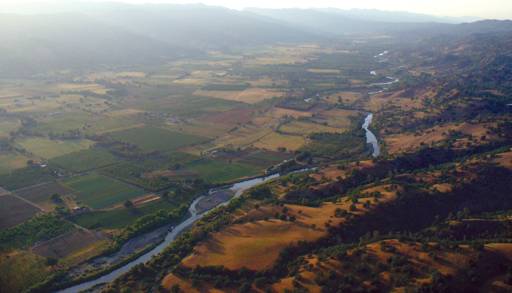
Cache Creek originates from and is the sole outlet of Clear Lake, the largest natural freshwater lake located entirely in California and among the world’s oldest lakes. North Fork Cache Creek originates at Goat Mountain in the Mendocino National Forest and runs 16 miles before flowing into Indian Valley Reservoir. The North Fork joins the mainstem below Highway 20. Bear Creek, the other main tributary flows through Bear Valley, renowned for its wildflower displays. It joins Cache Creek, paralleling State Route 16, and then enters the bucolic Capay Valley in Yolo County. The creek winds its way through a predominantly agricultural setting before entering the Cache Creek Settling Basin, designed to capture sediment and enhance groundwater recharge before ultimately releasing water into the Yolo Bypass of the Sacramento River.
The Cache Creek Dam on the main fork, located 5 miles downstream from Clear Lake, was built to increase Clear Lake’s capacity and to regulate outflow for downstream users of Cache Creek water. The dam later was modified to include a hydroelectric plant. The stream has a relatively small capacity—less than a quarter of the amount the dam is able to release. Additionally, a rock ledge 1.5 miles downstream of Clear Lake called the Grigsby Riffle restricts the flow at that point, making it difficult for excess flows to drain from Clear Lake and increasing the chance of flooding for lakeside communities. If flows were to be increased, Yolo County communities downstream may be subject to flooding. The issue has been a longstanding dispute between the two counties. A judgment was made in 1940 by a court decision known as the Bemmerly Decree, which prohibits increasing the capacity of the channel. Yolo County Flood Control and Water Conservation District holds appropriative rights for up to 150,000 acre-feet per year from Clear Lake. Ongoing negotiations attempt to ensure a balance between the needs of the two counties.
The Capay Diversion Dam, 49 miles downstream from the Cache Creek Dam, diverts water for distribution to agricultural users throughout Yolo County using a 200-mile network of canals. No minimum flow requirements have been set for Cache Creek below Capay Dam. Levees confine the stream channel in the lower 8 miles of Cache Creek until its terminus at the Cache Creek Settling Basin.
Water Quality

The Cache Creek Watershed was a primary source of mercury used for gold mining in the Sierra and one half of all the mercury entering the Sacramento River system flows from the watershed. It is estimated that over 40 abandoned mines are found in the drainage. The Sulphur Bank mine at Clearlake is a Superfund site undergoing clean-up and the Turkey Run-Abbott mine tailings have been restored. The BLM is currently working to clean up the Rathburn-Petrey Mine. In October 2005, the Central Valley RWQCB adopted a TMDL for mercury in Cache Creek (and tributaries Bear Creek, Sulphur Creek, and Harley Gulch). Cache Creek is also listed on the Clean Water Act Section 303(d) list as impaired for unknown toxicity.
Vegetation
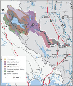
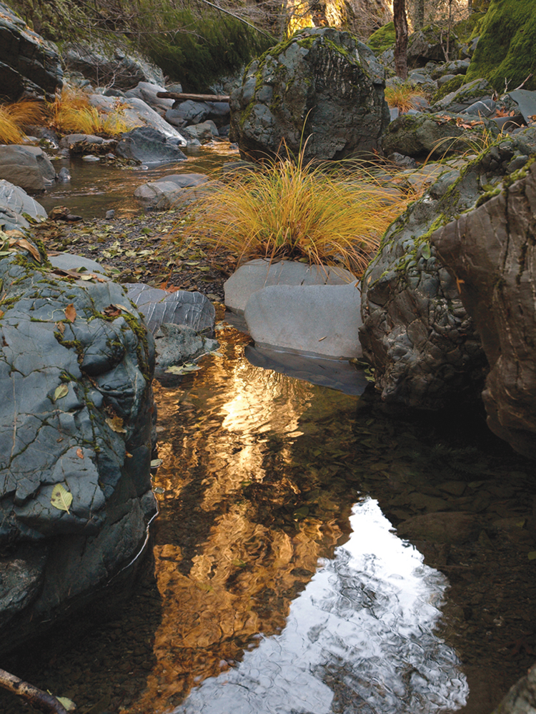
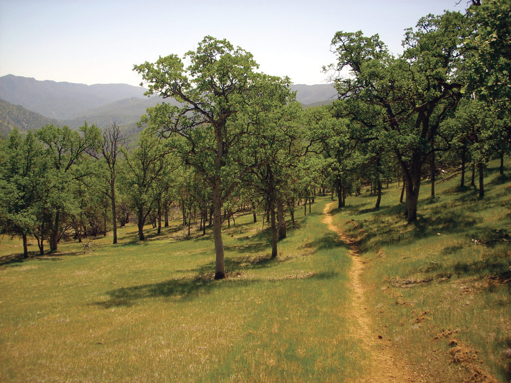
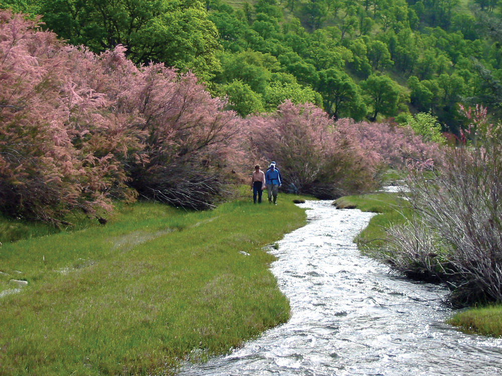
Vegetation along Upper Cache Creek includes cottonwoods, willows, oaks, and alders. Much of the Upper Cache Creek Watershed consists largely of mixed chaparral habitat. Riparian vegetation within the Wilderness Area reach is largely intact and invasive giant reed (Arundo donax) and salt cedar (Tamarisk spp.) have been eradicated. As the creek flows into Capay Valley, the predominant vegetation transitions to oak woodlands. Although vegetation in the Capay Valley has been altered to accommodate agricultural needs and development, significant stretches of native riparian forest remain. Native plant species commonly found in the riparian areas are valley oak, Fremont cottonwood, several species of willow, California rose, Mulefat, western redbud, California grape, creeping wildrye, and deergrass. Once Cache Creek reaches the Esparto area, the landscape is largely agricultural and/or developed.
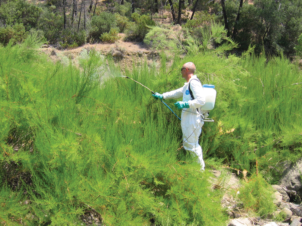
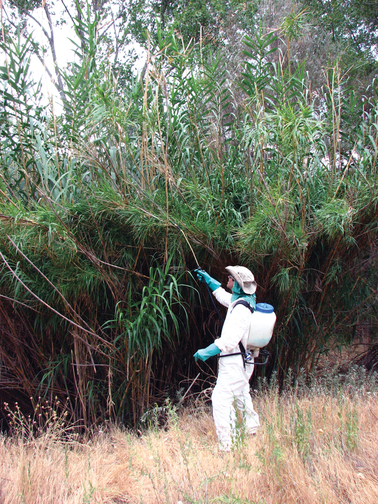
Nonnative species such as giant reed (Arundo donax), saltcedar (Tamarisk spp.), and Ravenna grass play an increasing role in the health of the Cache Creek riparian corridor. In the lower watershed’s riparian corridors, these species have displaced native trees and shrubs and exacerbated bank erosion by laterally diverting streamflows. In Capay Valley, nonnative species such as yellow starthistle, barbed goatgrass, and medusahead threaten the quality of rangelands.
Fish and Wildlife
Barriers inhibit fall-run Chinook salmon, Pacific lampray, and steelhead from migrating up Cache Creek. Anecdotal evidence suggests that in wet years, when flows in Yolo Bypass and Cache Creek are high, some salmon may reach the spawning gravels of Lower Cache Creek from the Delta. However, in dry years no passable connection exists for salmon and steelhead between the Delta and mouth of Cache Creek. Cache Creek does support a variety of other fish species and above Capay Dam is perhaps one of the best native fisheries on the westside of the Valley. Because the water is typically warm and alkaline, the predominant fish resources are members of the minnow family such as pikeminnow, hitch, and California roach as well as Sacramento sucker, catfish, and largemouth and smallmouth bass.
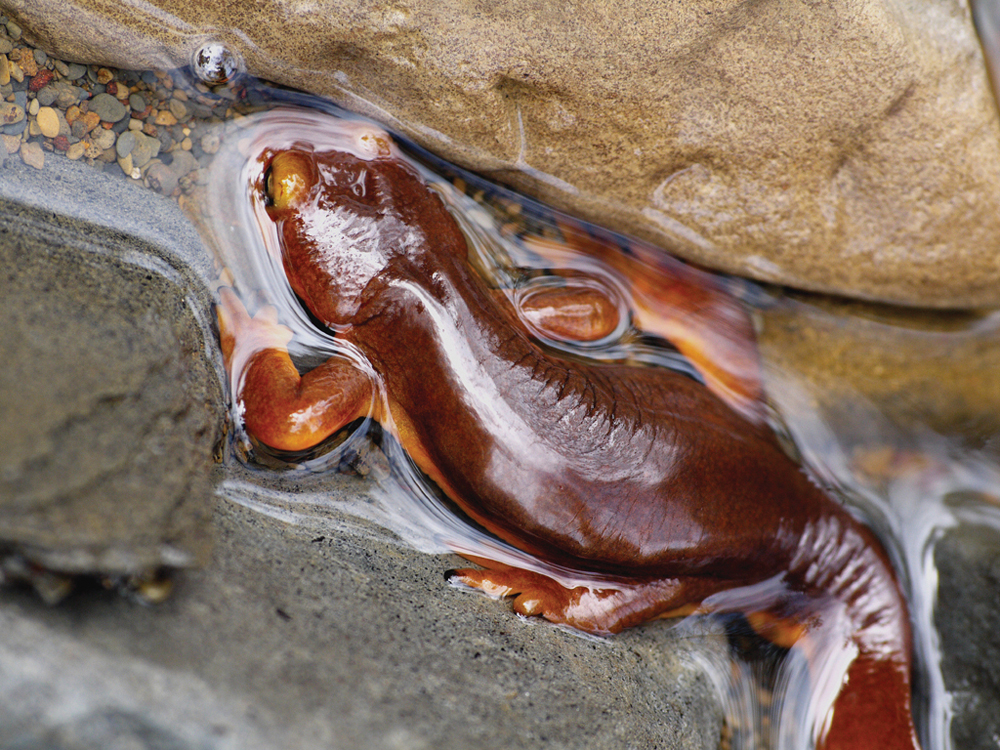
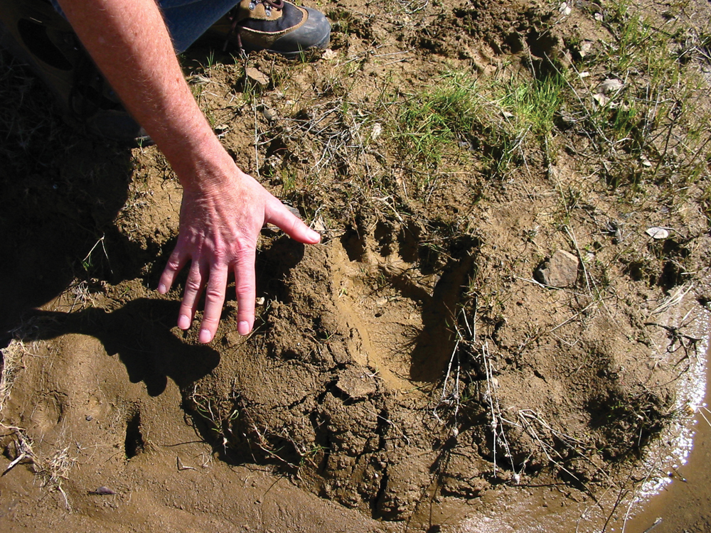
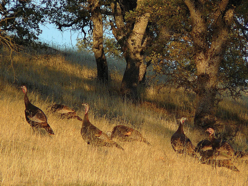
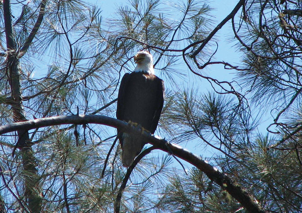
Wildlife resources in the Cache Creek Watershed include the second largest wintering population of bald eagles in California and the golden eagle, osprey, red-tailed hawk, kestrel, prairie falcon, northern harrier, and several species of owls. Approximately 50 of California’s endemic tule elk also reside in the watershed, using a variety of habitats year-round. The black bear is commonly seen, especially near the creek foraging for fish. Other non-game species commonly spotted include mountain lion, coyote, gray fox, bobcat, badger, raccoon, beaver, and river otter. Game species sought by hunters include blacktail deer, black bear, wild pig, gray squirrel, wild turkey, mourning dove, and California quail. Dense chaparral habitat supports species such as the blacktailed jackrabbit, brush rabbit, wrentit, California thrasher, and California towhee.
Life in the Watershed
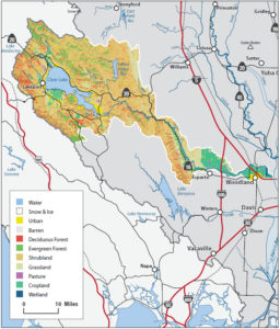
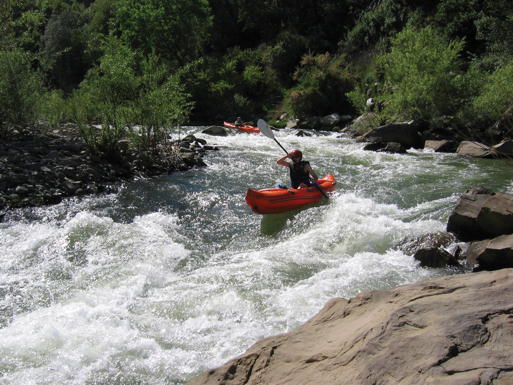
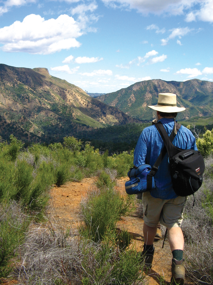
Much of the upper reach of Cache Creek (just below Clear Lake) passes through a steep, inaccessible canyon. The creek becomes more accessible once it reaches Highway 16 and flows through Capay Valley (population ~4,000), which includes the unincorporated communities of Rumsey, Guinda, Brooks, Capay, Esparto, and Madison. The creek then flows north of Woodland, the largest town in the watershed (population 53,690) and the county seat of Yolo County. Cache Creek is very popular for recreationists in the summer months, providing opportunities for kayaking, rafting, canoeing, innertubing, hiking, and camping. In October 2005, Cache Creek was added to California’s Wild and Scenic Rivers System, which protects 31 miles of the river from construction of new dams and diversions.
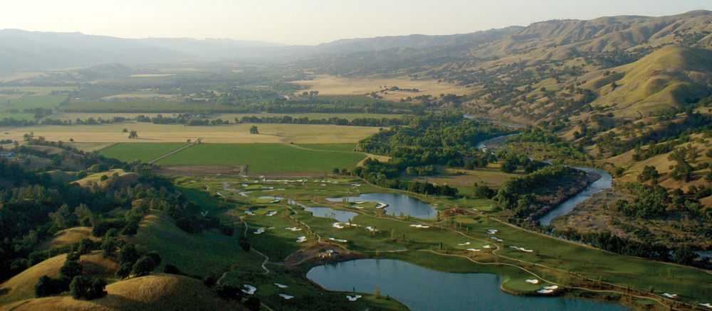
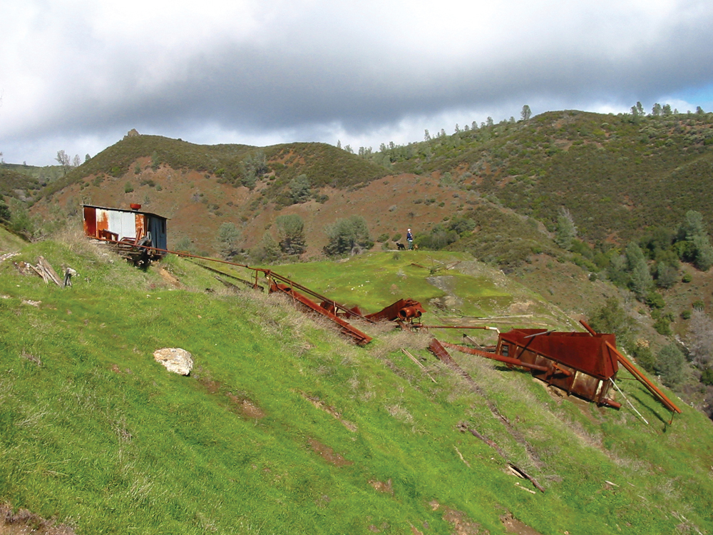
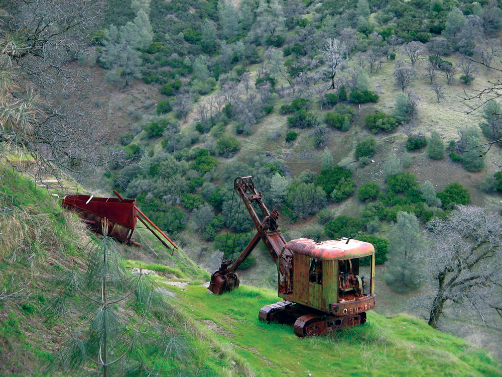
Capay Valley supports a wide variety of agriculture, including almonds, walnuts, pistachios, oranges, mandarins, and many varieties of organic produce. Recently, Capay Valley growers have formed a strong coalition to successfully promote their locally grown produce. In 1985, the Yocha Dehe Wintun Tribe opened a bingo hall in the Capay Valley community of Brooks. It was renovated in 2002 and completed in 2004 as a destination casino resort that includes 200 rooms, day spa, nine restaurants, and an 18-hole championship golf course. Today, the tribe is the largest private employer in Yolo County. Gravel mining continues in the lower watershed, providing another major source of income for local residents.
Cultural resource values are significant in the Cache Creek Watershed. Research shows that Hill Patwin inhabited the area as far back as 11,000 years ago, with significant habitation in the remote canyons. Prehistoric sites ranging from small, temporary settlements to large permanent village sites have been documented.
Management Objectives
Although several organizations are actively involved in managing Cache Creek Watershed resources, there is currently not a comprehensive management plan for the entire watershed. Much of the upper watershed is public lands managed by the BLM and USFS. In 1993, Capay Valley Vision completed the Action Plan for the Capay Valley Region, which provides a framework for the future of the rural, agricultural community.
For the Lower Cache Creek Watershed, the Cache Creek Area Plan was adopted by the Yolo County Board of Supervisors in 1996. The Plan, revised in 2002, includes both the Cache Creek Resources Management Plan and the Off-Channel Mining Plan. Combined, these documents provide a comprehensive program for the administration of off-channel mining in the Cache Creek Mineral Resource Zone and the monitoring of its effects on the environment. They also document the need for a program of restoration and remediation of degraded areas within the active channel of Cache Creek, as well as ongoing maintenance of the creek channel to protect against erosion and flooding. Implementation of the program is funded by a fee based on the amount of gravel sold each year.
The Cache Creek Resources Management Plan includes six elements: agricultural resources, aggregate resources, biological resources, water resources, floodway and channel stability, and open space and recreation. Specific goals and objectives were adopted for each element, with suggested policies for their implementation. Those goals are summarized below.
Floodway and Channel Stability
- Establish a more natural channel floodway capable of conveying floodwaters without damaging essential structures, causing excessive erosion, or adversely affecting adjoining land uses.
- Coordinate land uses and improvements along Cache Creek so that the adverse effects of flooding and erosion are minimized.
- Ensure that the floodway is maintained to allow other beneficial uses of the channel, including groundwater recharge, recreation, and riparian vegetation, without adversely affecting flood capacity.
Water Resources
- Improve the gathering and coordination of information about water resources so that effective policy decisions can be made.
- Promote the conjunctive use of surface and groundwater to maximize the availability of water for a range of uses, including habitat, recreation, agriculture, water storage, flood control, and urban development.
- Maintain the quality of surface and groundwater so that nearby agricultural productivity and available drinking water supplies are not diminished.
- Enhance the quality of water resources by stressing prevention and stewardship, rather than costly remediation.
- Provide habitat restoration without increasing the generation of mosquitoes.
Biological Resources
- Provide for a diverse riparian ecosystem in the Cache Creek channel that is self-sustaining and capable of supporting wildlife.
- Create a continuous corridor of riparian and wetland vegetation to link the foothill habitats of the upper watershed with those of the Cache Creek Settling Basin.
- Develop high quality natural habitat that is dominated by native plants.
- Manage riparian habitat so that it contributes to channel stability.
- Establish monitoring programs for the continued collection of data and information, to be used in measuring the success of revegetation efforts.
Open Space and Recreation
- Improve scenic resources in the Cache Creek channel.
- Establish a variety of outdoor recreation and education opportunities along Cache Creek for use by the public.
- Ensure the compatibility of recreational facilities with surrounding land uses and sensitive wildlife habitat, in order to minimize adverse impacts.
Aggregate Resources
- Use the removal of in-channel aggregate deposits as an opportunity to reclaim, restore, and/or enhance the channel stability and habitat of Cache Creek.
- Provide for effective and systematic monitoring and reclamation of aggregate removal activities within Cache Creek.
Agricultural Resources
- Protect farmland along Cache Creek from land uses that may conflict with agricultural operations.
- Develop opportunities where restoration efforts and agriculture can provide mutual benefits.
Lastly and most recently, an IRWM Plan for Yolo County (including portions of Cache Creek) was completed in April 2007. The planning process was led by the Water Resources Association of Yolo County. Yolo County is working with Colusa, Napa, Solano, and Lake Counties (referred to as the Westside Water Management Group) to develop a combined IRWM Plan for the Westside region.
Organizations Active in the Watershed
In addition to the counties of Yolo, Colusa, and Lake; BLM; and USFS—all of which are actively involved in management of Cache Creek Watershed and its resources—the following organizations play a critical role in the health of the watershed.
Yolo County Flood Control and Water Conservation District
The Yolo County Flood Control and Water Conservation District was established in 1951 to plan, develop, and manage the conjunctive use of the District’s surface and groundwater resources to provide a safe and reliable water supply at a reasonable cost, and to sustain the socioeconomic and environmental well-being of Yolo County.
Resource Conservation Districts
The Yolo County RCD was established in 1977 and works closely with landowners to protect, improve, and sustain the natural resources of Yolo County.
The East Lake RCD, formed in 1961, includes approximately 351,000 acres located in the southeastern part of Lake County. The West Lake RCD was formed in 1960 and includes approximately 497,960 acres located in the northwestern part of Lake County. Both were consolidated into the Lake County RCD in 2016.
Colusa County RCD was formed in 1959 and works to promote resource management and conservation practices that will improve the health of Colusa County watersheds.
Cache Creek Conservancy
The Cache Creek Conservancy was created in 1996 as a vehicle to implement projects, provide environmental education, hold conservation easements, and manage land for wildlife habitat. The Conservancy has implemented a successful invasive plant species removal and control program.