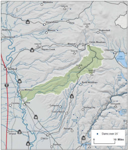
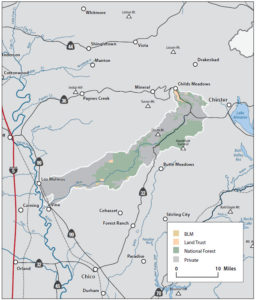
Upper Mill Creek
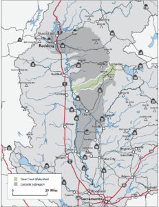
The Watershed at a Glance
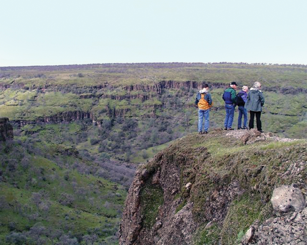
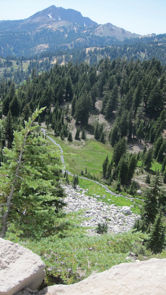
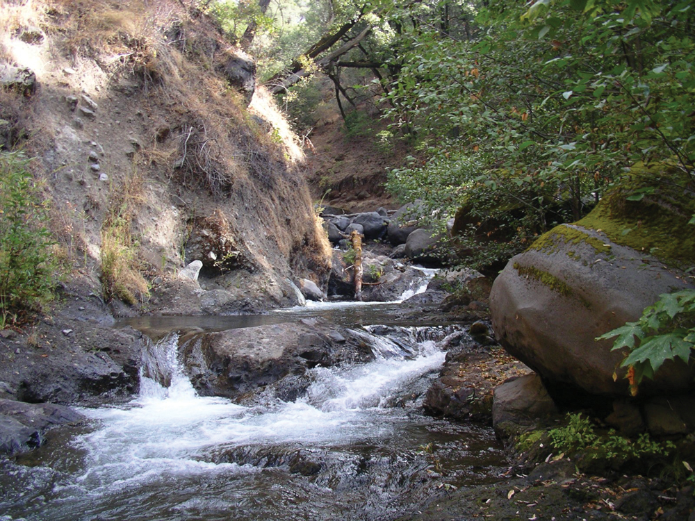
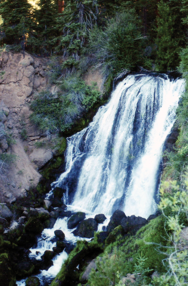
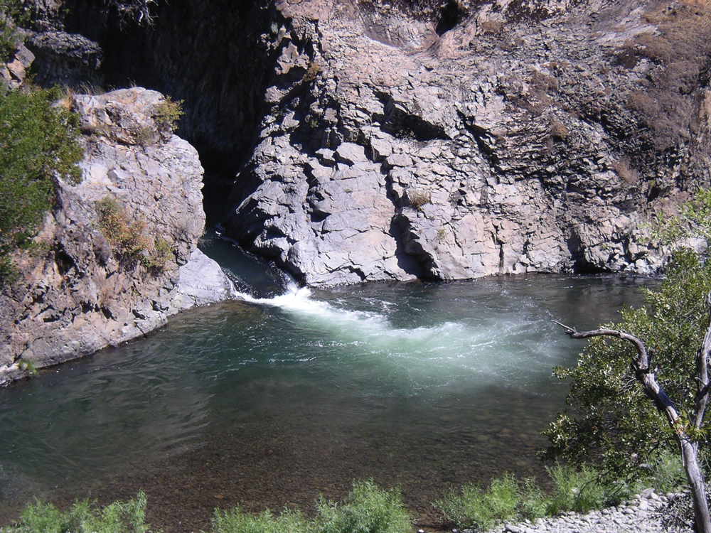
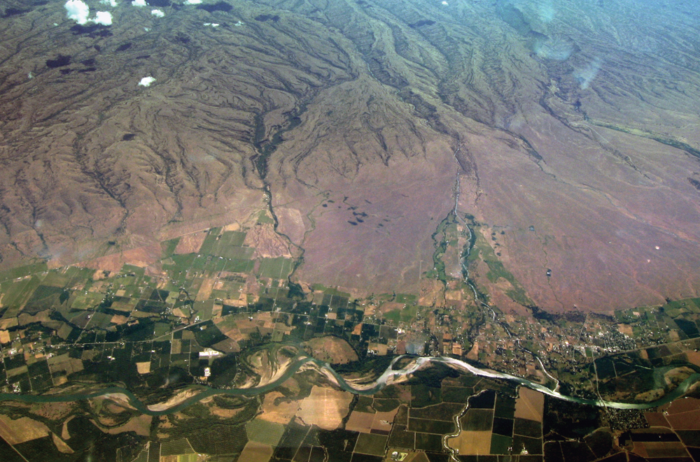
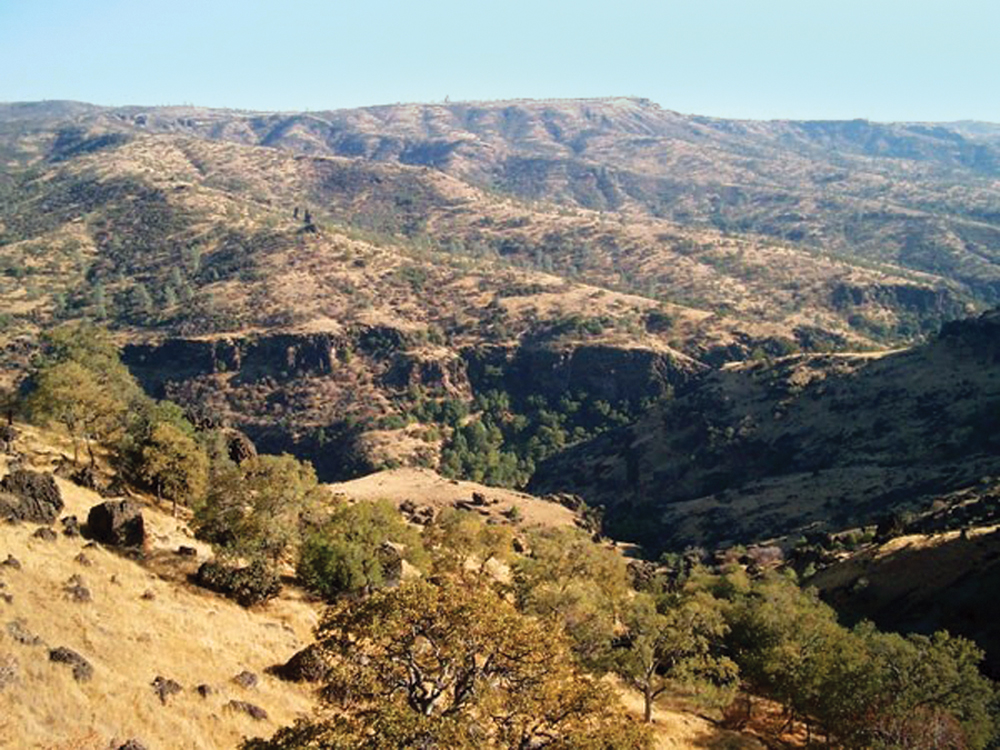
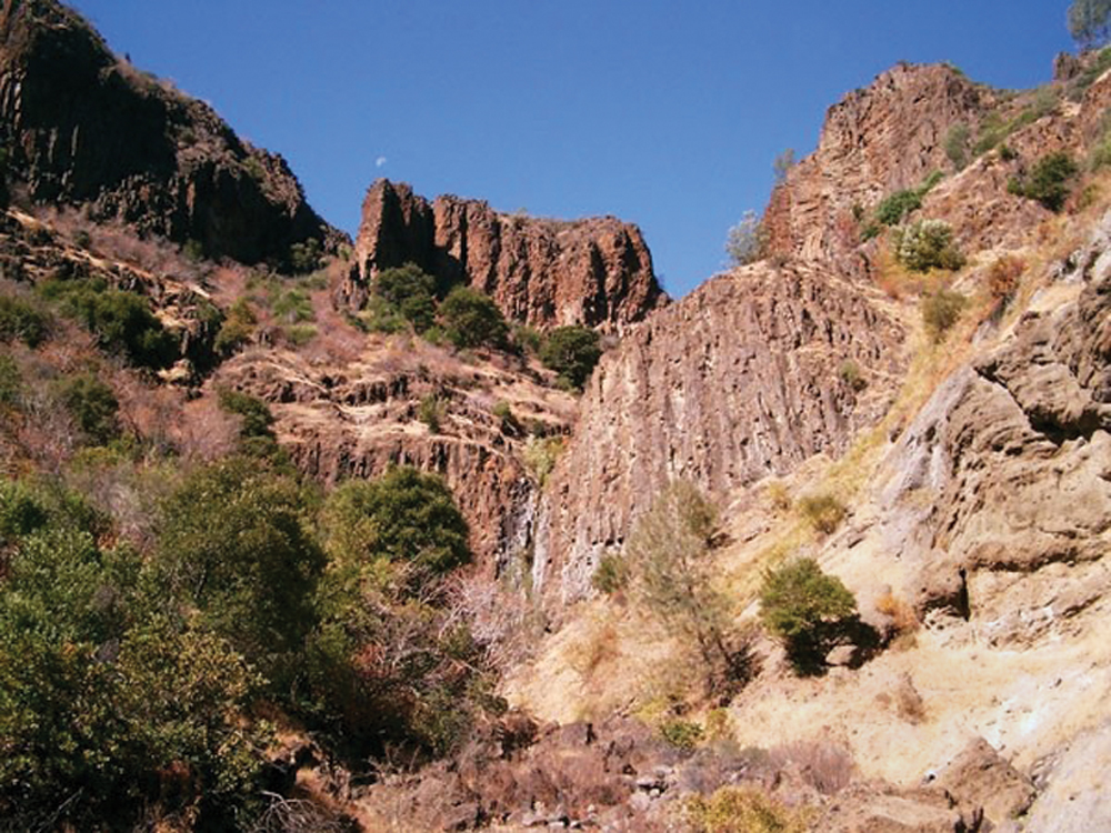
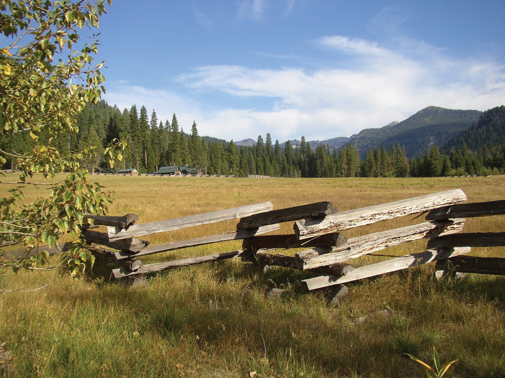
Mill Creek originates on the southern slopes of Lassen Peak and flows generally to the southwest for approximately 60 miles to its confluence with the Sacramento River. The stream is confined within a steep-sided, narrow canyon except for a few alluvial meadows at the 5,000 feet elevation. Below this canyon area, Mill Creek flows for eight miles through irrigated agricultural land (mainly pasture and orchard crops) before entering the Sacramento River near the town of Los Molinos. The inaccessible and undeveloped nature of the watershed has resulted in the retention of many pristine qualities. The upper reaches of Mill Creek constitute the highest elevation of spawning spring-run Chinook salmon in California. The watershed is also home to many outstanding Native American archeological sites.
Hydrology
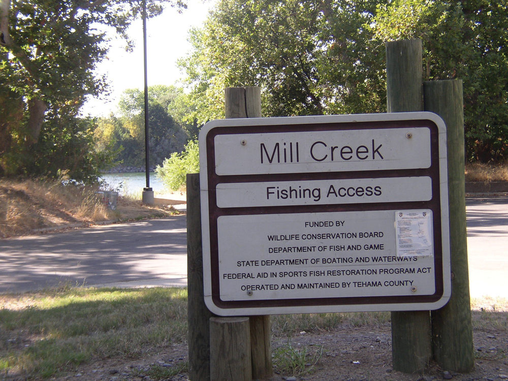
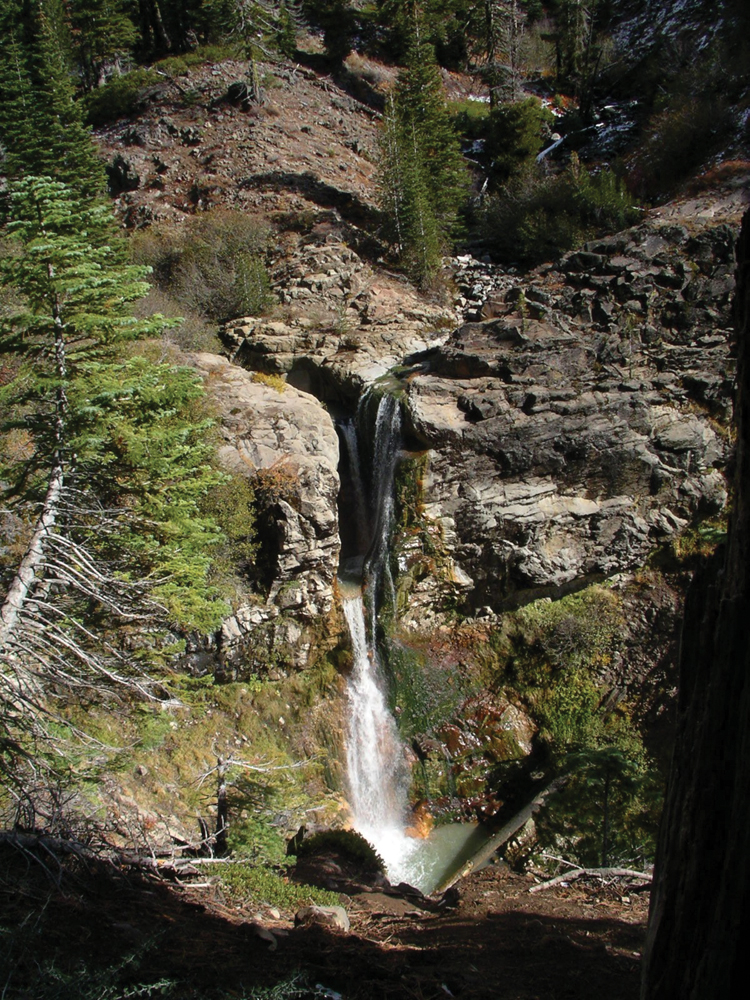
USGS discharge records have been collected since 1928 on Mill Creek at a location 5.5 miles upstream of the Sacramento River confluence. Annual average daily flow for Mill Creek is approximately 400 cfs. The largest peak runoff event on record was 36,000 cfs in December 1937. Much of the flow in Mill Creek comes from melting glaciated slopes on Mount Lassen, and this gives the creek a sustained ‘milky’ appearance through the spring and midsummer period. Diversions for irrigation water from Mill Creek include the Upper and Lower Diversions operated by Los Molinos Mutual Water Company and the privately owned Clough Diversion. The State fully adjudicated water rights on Mill Creek in the 1920s, and flow records show that authorized diversions in lower Mill Creek (203 cfs) have the potential to entirely eliminate natural streamflow during the summer irrigation season. Accordingly, there are cooperative agreements between resource agencies and the water diverters to provide adequate flows (when possible) for salmon during the peak migration/spawning periods.
Water Quality
Since 1995, water quality in Mill Creek has been monitored at a station at Highway 99 in Los Molinos. Mill Creek water quality is characterized by its high silt load and turbidity during the spring and early summer snowmelt period. This silt originates from volcanic ash and glacial till in Lassen Volcanic National Park. Additional sediment load comes from land management activities in the watershed, including timber harvesting, roads, and cattle grazing. Water temperature in Mill Creek is an important parameter for species such as spring and fall-run Chinook salmon, trout, and steelhead. Concerns with temperature apply mainly in the lower reach of Mill Creek and are closely related to instream flow conditions.
Fish and Wildlife
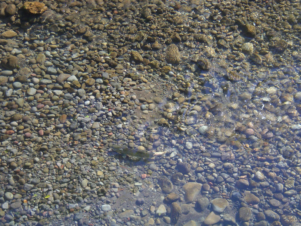
Mill Creek provides habitat for three types of anadromous salmonids: spring-run Chinook salmon, winter-run steelhead trout, and fall-run Chinook salmon. Historically, spring-run salmon numbered close to a million fish in the Sacramento Valley streams, but now only four tributaries support this run and Mill Creek is one of them. Population estimates for spring-run salmon in Mill Creek have been made since 1947. The estimated average run size from 1947 through the early 1990s is 1,200, while average run size over the past 20 years has been around 400. Fall-run salmon use mainly the lower 6 miles of Mill Creek, and when annual counts were made from 1952 through 1994, the average run size was about 2,000. With the recent decline in Sacramento River fall-run salmon, it can be assumed that the current numbers are much lower. Other common fish species in Mill Creek are rainbow trout, pikeminnow, suckers, and sculpin. In the high elevation meadow reaches, trout are a popular and plentiful game fish.
Common mammal species are black bear, mountain lion, coyote, bobcat, gray fox, raccoon, squirrels, and a number of other small mammals. The watershed is part of the East Tehama deer herd, historically the largest herd in the state. Special status species include northern goshawk, spotted owl, and willow flycatcher.
Vegetation
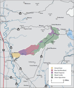
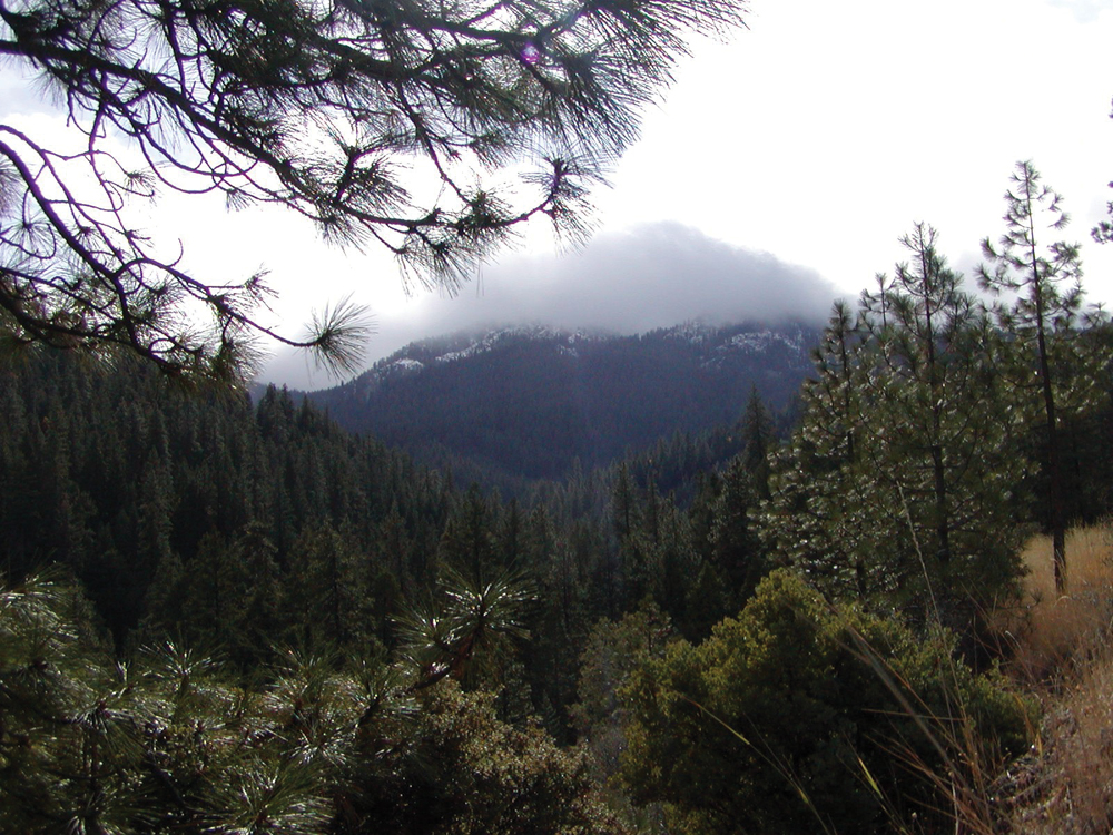
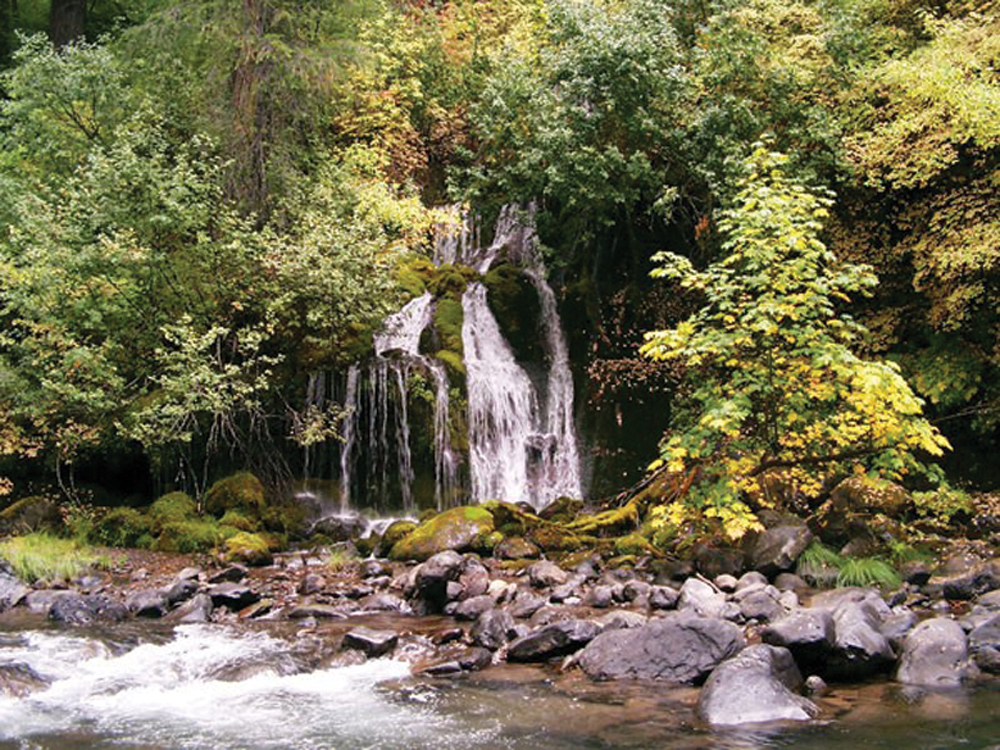
As with most eastside drainages, vegetation in the Mill Creek Watershed varies dramatically with the change in elevation from the upper forest and meadow lands, through the mid-canyon reach, and onto the valley floor. Red fir is found near the headwaters of Mill Creek along with Sierran mixed conifer and ponderosa pine at slightly lower elevations. Proceeding downstream, the canyon slopes are characterized by blue oak and foothill pine. This gives way to annual grasslands on the valley floor and areas below the diversions have been converted to irrigated pasture, cropland, and orchards. Riparian vegetation on the valley floor provides key habitat for many species and is of great significance to resource management efforts. Vegetation in the Mill Creek riparian corridor and floodplain includes valley oak, sycamore, cottonwood, black walnut, box elder, and willow thickets.
Life in the Watershed
The Mill Creek Watershed was first inhabited by the Yahi people for approximately 4,000 years, until dominant European settlement in the middle 1800s. Lassen National Forest, Lassen Volcanic National Park, and the state-owned Tehama Wildlife Area constitute the majority of the public land holdings in the watershed. The Tehama County General Plan lists five major land use designations in the Mill Creek Watershed; timberlands, grazing lands, agricultural lands, recreational lands, and residential lands. Collins Pine Company and Sierra Pacific Industries are the largest private timberland owners with about 10,000 acres cumulatively. Livestock grazing occurs throughout the watershed on both public and private lands. Agriculture occurs on the valley floor from the Sacramento River to the mouth of the Mill Creek canyon and consists primarily of irrigated pasture, prunes, almonds, and walnuts. Residential development and commercial businesses are mainly adjacent to the Highway 99 corridor, and this includes the community of Los Molinos with a population of about 1,200. Outdoor recreation, including camping, hiking, fishing, hunting and nature appreciation, is a major activity. There are many public campgrounds on both the National Forest and Lassen Volcanic National Park.
Management Objectives
In 1995, a partnership was formed between the Los Molinos Unified School District and the Mill Creek Conservancy to establish the Lassen Watershed Project. This included two elements: an educational component and the completion of a Mill Creek Watershed Management Strategy. A Watershed Advisory Committee assisted in preparing the management strategy, a process that also included a series of community scoping meetings. Management priorities for the Mill Creek Watershed are summarized as follows:
- establish permanent, ongoing monitoring of salmon and steelhead populations,
- increase salmon and steelhead productivity and wild trout populations,
- improve habitat for wildlife,
- protect and restore native riparian habitat,
- reduce erosion/sedimentation and improve water quality,
- protect and restore habitat for special-status species, and
- educate and involve students and the community in stewardship activities.
Management Organizations Active in the Watershed
Mill Creek Conservancy
In 1994, the Mill Creek Conservancy was formed by local landowners as a nonprofit conservation organization dedicated to the continued preservation and management of the Mill Creek Watershed. The Conservancy seeks to establish cooperative action among landowners, agencies, and other stakeholders. In addition to completion of the Mill Creek Watershed Management Strategy, the Conservancy has been actively involved in the Interagency Water Exchange Agreement. Where instream surface flow is needed for anadromous fish passage, this program provides pumped groundwater to meet irrigation water needs during critical time periods. Other partners that work closely with the Conservancy in Mill Creek Watershed management activities include DFG, DWR, Lassen National Forest, and The Nature Conservancy.