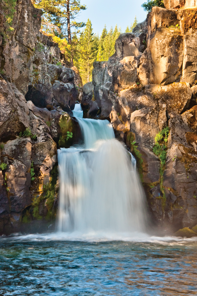
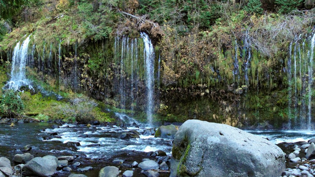
Mossbrae Falls in the Upper Sacramento River
Photo by Miguel Vieria
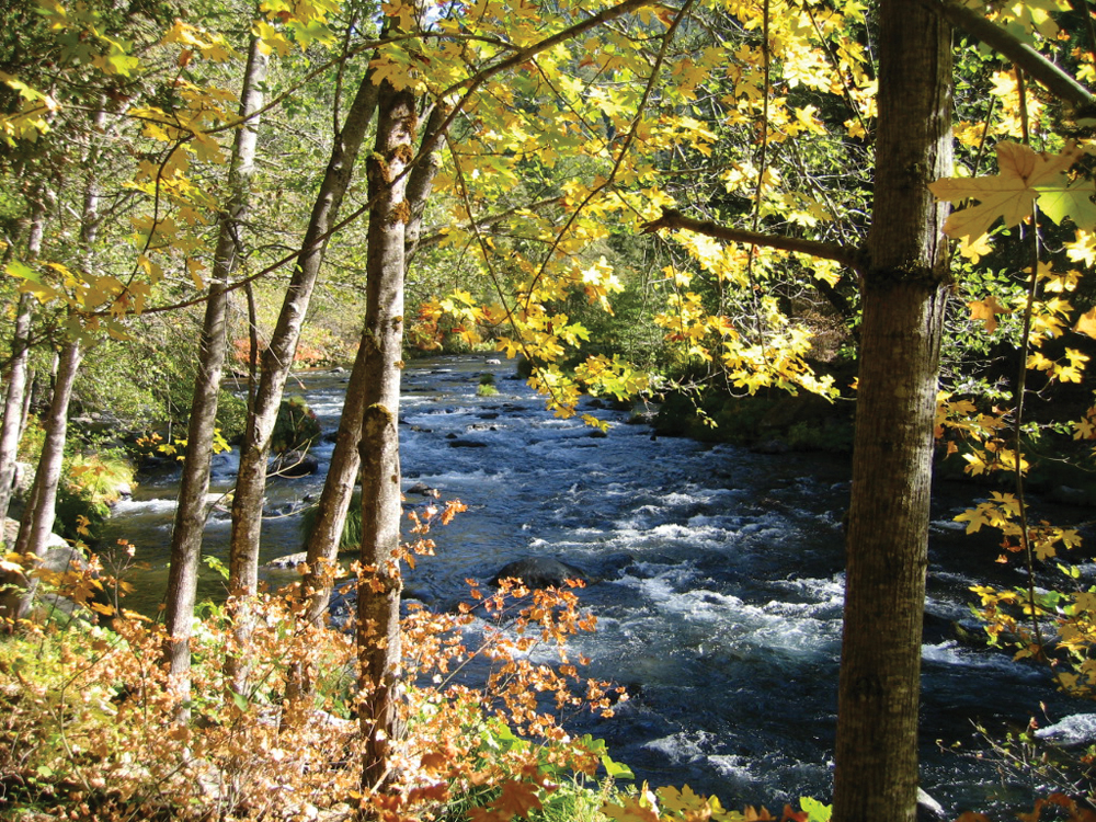
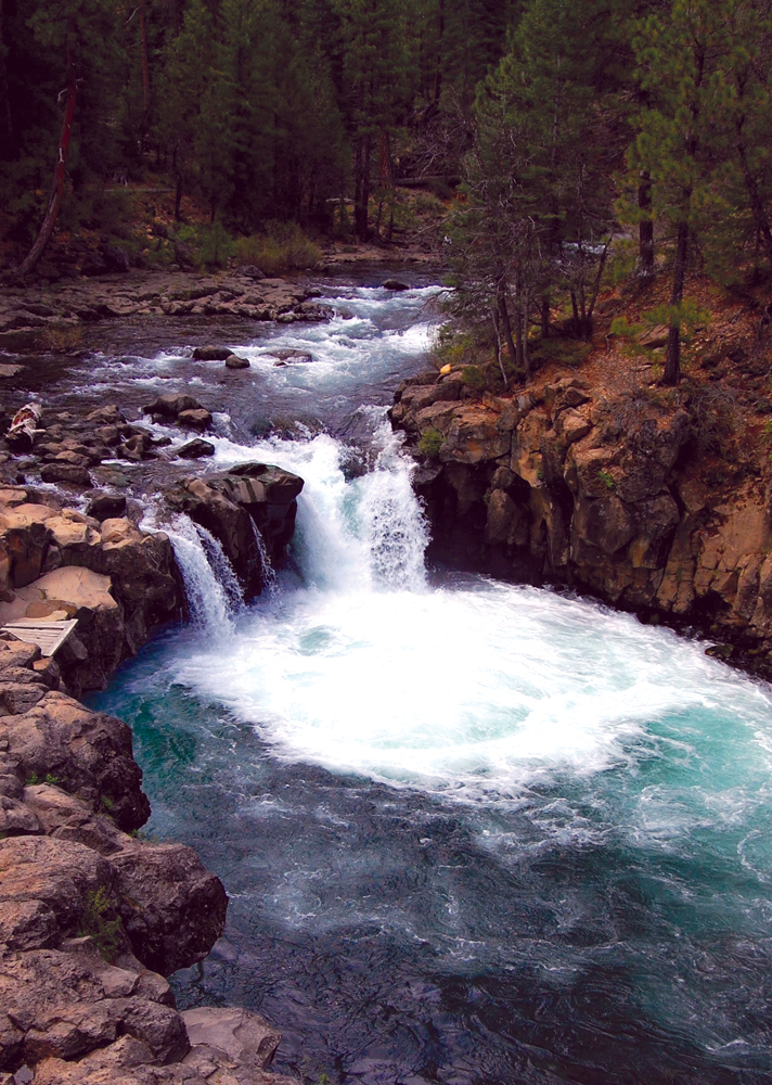
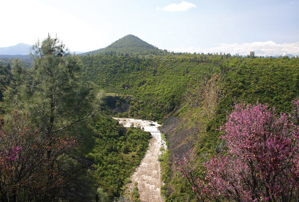
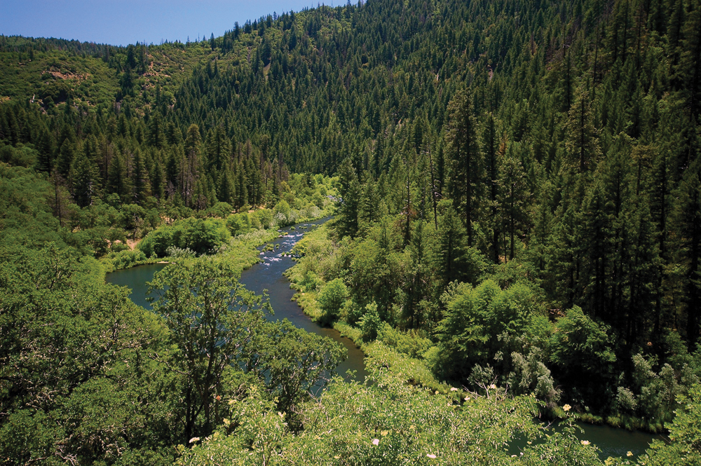
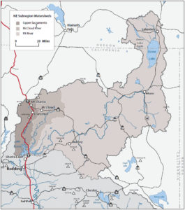
The Northeast Subregion includes three major river basins: the Upper Sacramento River, McCloud River, and Pit River. These rivers drain a four-county area in the north and northeastern part of the Sacramento River Basin and flow generally southwest into Lake Shasta. Although each river basin has its own unique set of attributes and management issues, this subregion overall can be characterized as:
- largely unpopulated with vast tracks of public land (USFS and BLM);
- habitat for some of the state’s premier recreational sport fishing (several state-designated Wild Trout Waters);
- important habitat for big game, waterfowl, and other wildlife species;
- large tracts of public and privately owned commercial timberland;
- source waters for the federal Central Valley Project providing water to farms and cities throughout the Sacramento and San Joaquin Valleys; and
- local communities that are largely dependent on a natural resource– based economy (ranching, logging, recreation, and tourism).