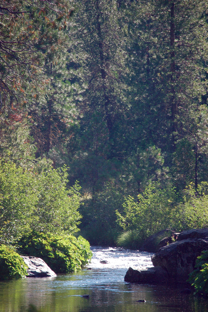
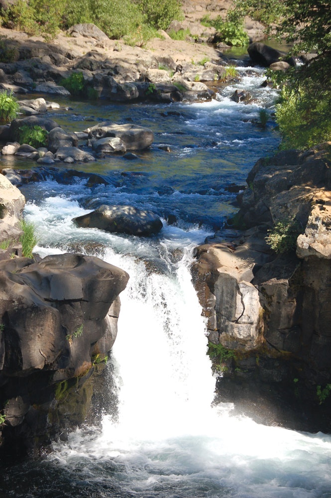
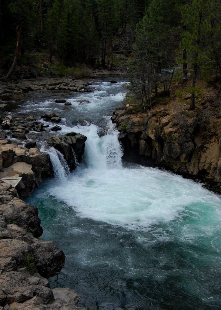
Middle Falls
Photo by Susan Stienstra Vance
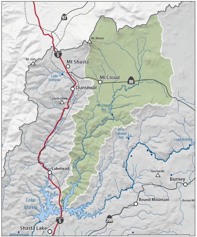
The Watershed at a Glance
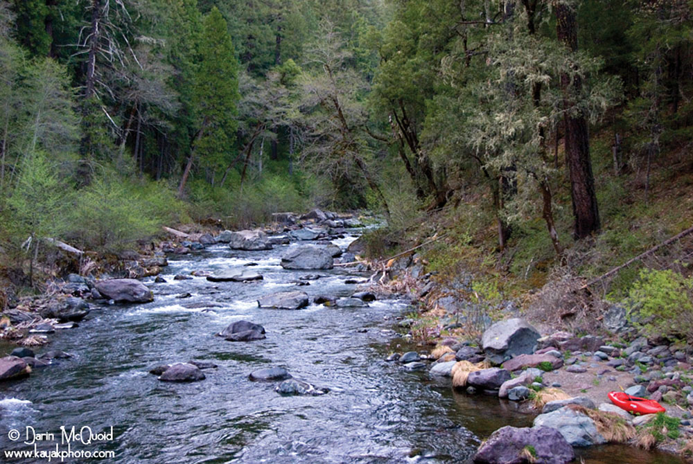
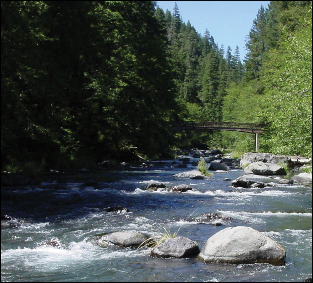
The McCloud River Watershed is located at the southern end of the Cascade Range and drains an area of roughly 800 square miles. Its headwaters are located at Colby Meadows, approximately 85 miles northeast of Redding. The river flows southwesterly for approximately 50 miles to its terminus at Lake Shasta. Terrain in the Upper McCloud River Watershed is generally flat to gentle slopes and includes the McCloud Flats, an area of level lava flows and low volcanic buttes. Below PG&E-operated McCloud Reservoir, the river dips into a deep canyon that continues through this entire reach to Lake Shasta. Vegetation in the upper watershed consists of mixed conifer, ponderosa pine, and douglas-fir forest turning to predominantly pines and chaparral in the lower reach. Land use is mostly timber management, with recreation use on both public and private lands concentrated along the river. Water quality in the McCloud River is considered very good and supports one of the state’s finest wild trout populations.
Hydrology
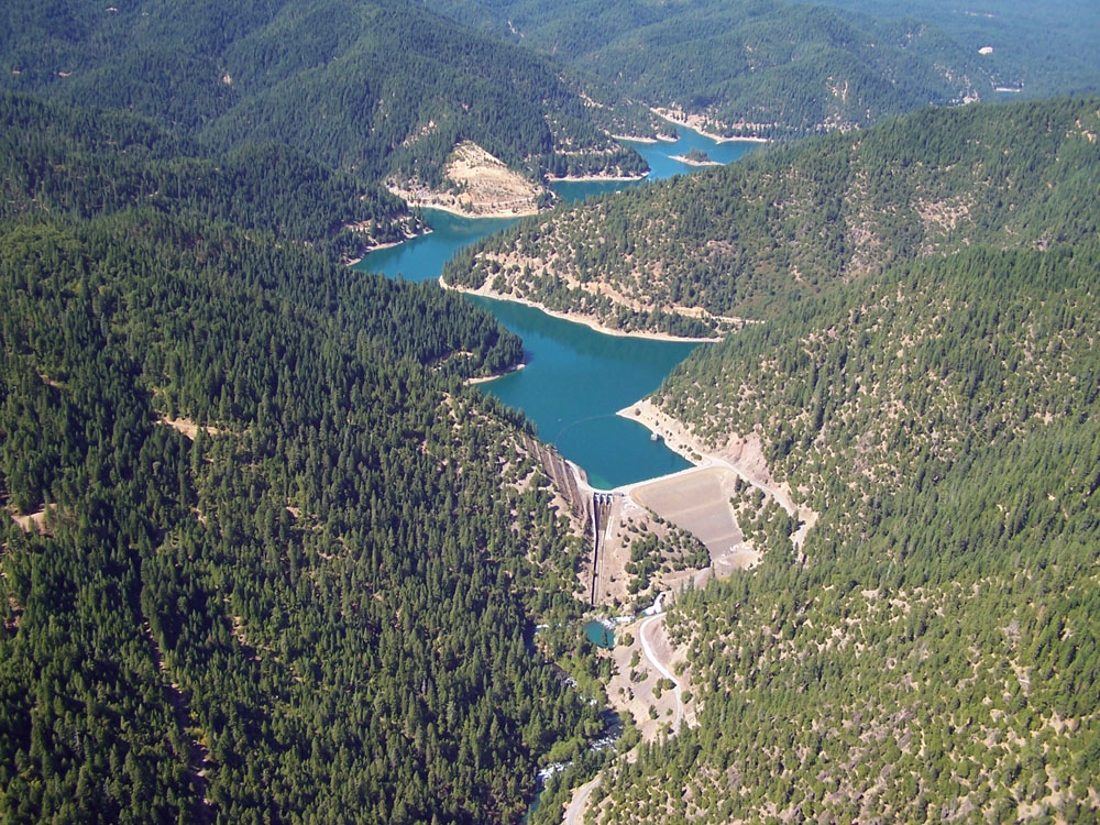
The McCloud River rises from several spring-fed streams at Colby Meadows near the town of Bartle in Siskiyou County. Nearly all of the flow in the upper watershed enters the river system via springs, most notably Big Springs (more than 600 cfs). The river flows initially west, receiving streams that drain the southern slope of Mount Shasta. Approximately 9 miles southeast of the town of McCloud, the river is dammed to form Lake McCloud, a PG&E reservoir operated for hydropower. The river then flows approximately 12 miles from Lake McCloud into Lake Shasta. Major tributaries to the Upper McCloud River include Mud and Tate Creeks (plus Big Springs). Squaw Valley, Hawkins, Claiborne, and Chatterdown Creeks are the major tributaries to the McCloud River below McCloud Reservoir.
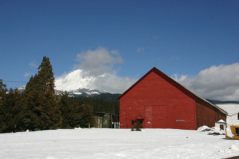
As part of the PG&E McCloud-Pit Hydropower Project, McCloud River flows are diverted at the McCloud Dam into the Pit River via the McCloud-Iron Canyon Diversion tunnel and Iron Canyon Reservoir. Since the construction of McCloud Dam and Iron Canyon Diversion in 1965, approximately 90% of the water flowing in the Upper McCloud River has been diverted to the Pit River Watershed. Minimum levels for release over McCloud Dam were established during the licensing of the McCloud-Pit Hydropower Project in 1961. The McCloud-Pit Project is currently in the FERC relicensing process and is expected to be completed in 2011. The diversion of water at McCloud Reservoir does not significantly influence the larger peak flow events in the watershed. Tributaries immediately below Lake McCloud supply more than three times more runoff to the McCloud River than is supplied by the entire Upper McCloud River Watershed.
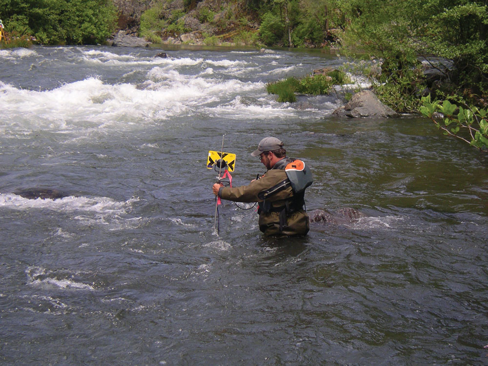
Water Quality
Water quality in the McCloud River and tributaries is considered to be very good. The cumulative impacts of natural hillslope erosion, roads, timber management, and water storage/diversion exert the largest influence on water quality parameters. Changes in most water quality parameters occur in response to winter precipitation. The high flows during winter rains create an increase in suspended sediment and turbidity, which quickly drops to pre-storm levels following peak flow events. Mud Creek, located in the upper watershed, carries glacial silt into McCloud Reservoir that, under certain conditions, gets resuspended and moves downstream through the McCloud River. The clarity of water in the McCloud River fluctuates from excellent during most of the year to highly turbid for short periods of time.
Water temperature in the McCloud River below McCloud Reservoir has increased as a result of hydropower operations. Before construction of the reservoir, water temperatures in the river largely were regulated by Big Springs, which provided a constant flow of 45°F water to the river and never exceeded 60°F. Following completion of the reservoir, stream temperatures as high as 75°F have been recorded in the lower river by DFG.
Fish and Wildlife
There are approximately 217 species of wildlife associated with the habitat found in the McCloud River Watershed, including 132 birds, 55 mammals, 19 reptiles, and 11 amphibians. Beneath the dense mixed conifer and oak forests, active wildlife includes black bear, mountain lion, wolverine, ringtail cat, and gray fox. The Shasta salamander makes its home on the canyon’s limestone outcrops and occurs nowhere else on earth. Along the river, otters move through pools lined with white alder, Indian rhubarb, and horsetail.
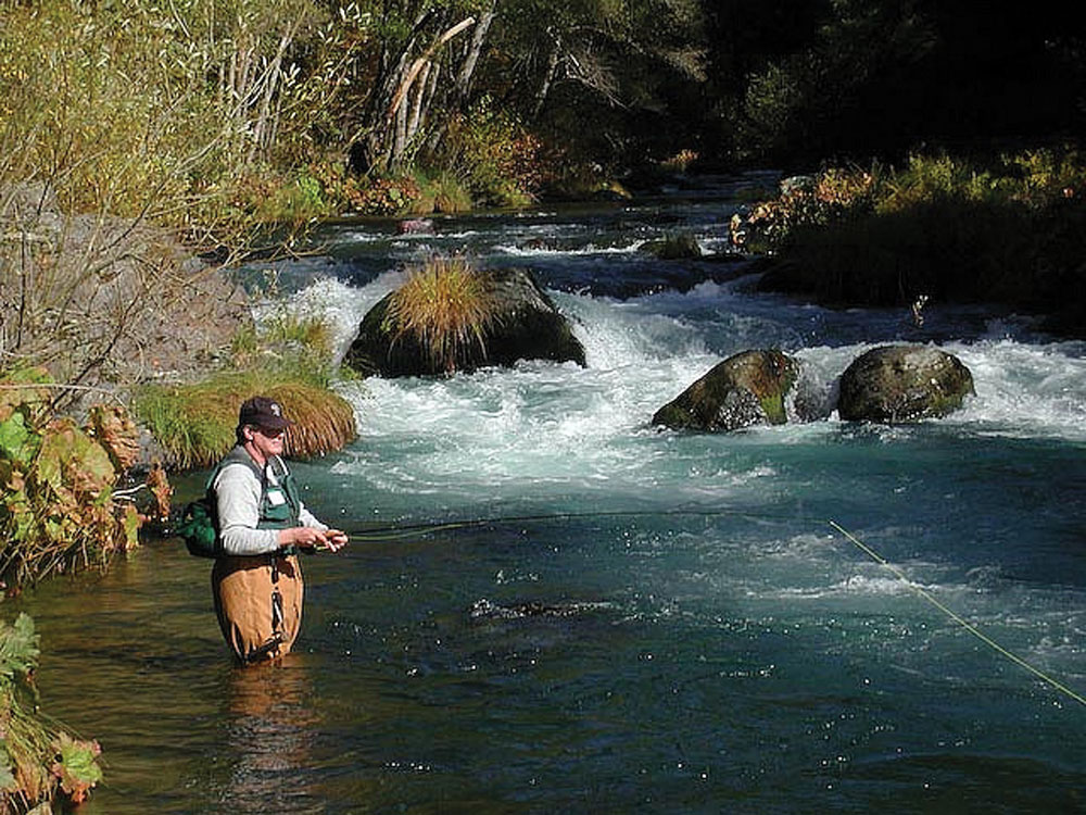
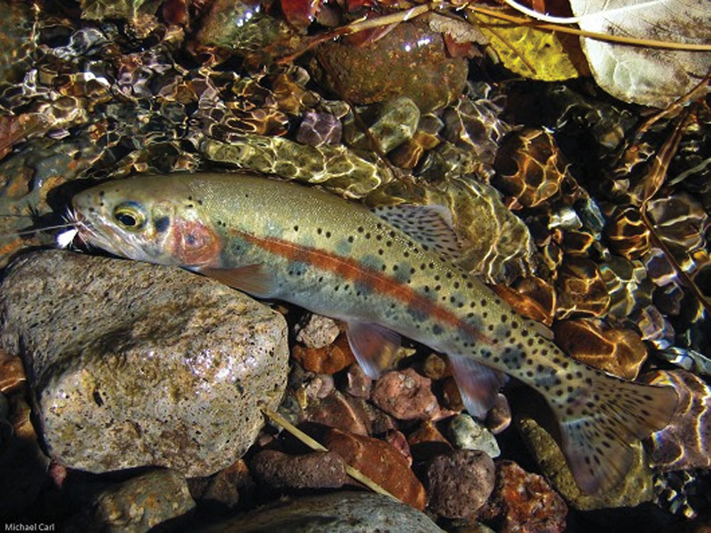
The McCloud River is known as a premier trout stream with an abundance of large rainbow and brown trout. DFG once estimated that trout abundance was approximately 8,500 fish per river mile. The abundance of large fish is a function not only of the excellent habitat quality, but also of strict fishing regulations and limited access to the largely private ownership in the lower stretch of the river. In addition to trout, the river is home to Sacramento sucker, Sacramento squawfish, carp, riffle sculpin, smallmouth bass, blackfish, golden shiner, and hardhead minnow. The Lower McCloud River is a DFG-designated Wild Trout Stream from McCloud Reservoir Dam downstream to Lake Shasta.
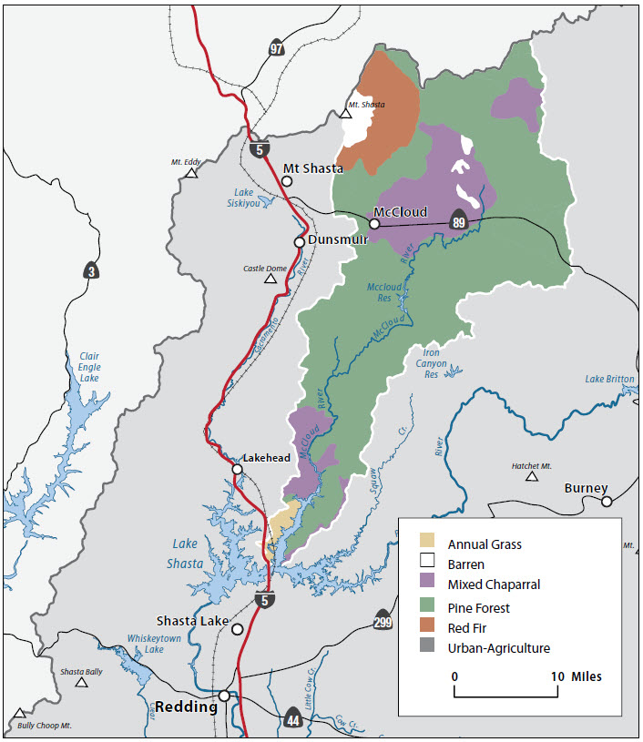
Vegetation

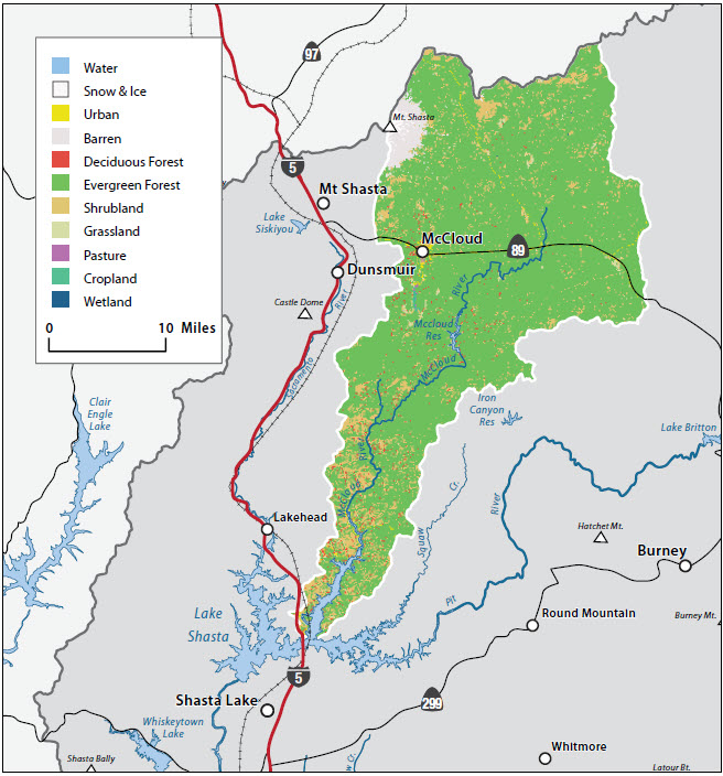
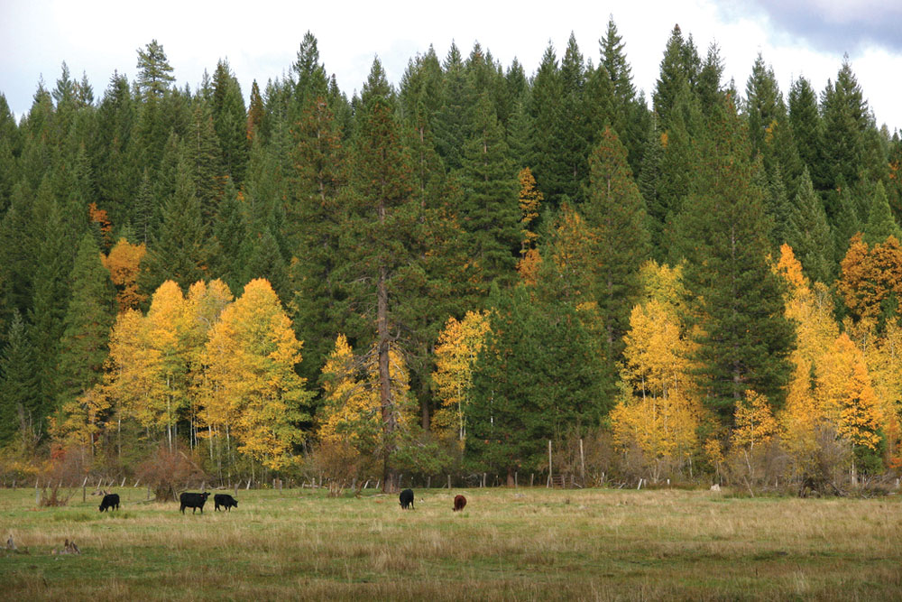
Vegetation and habitats within the McCloud River Watershed are diverse with large sweeps of forested lands, chaparral-covered slopes, deep canyons, and many perennial and intermittent streams. The complex topography of the watershed allows for an array of microhabitats and a diversity of species, depending upon slope, aspect, soil type, elevation, and disturbance regime. Areas of highly productive soils, coupled with rainfall amounts averaging 70–80+ inches per year, allow rapid tree growth in the absence of catastrophic disturbances. The recent history of aggressive fire suppression has resulted in the development of large areas of dense, complexly structured forests, largely replacing the open-canopied, fire-created habitats that dominated the watershed at the beginning of this century.
The McCloud River and its tributaries form a network of aquatic and riparian habitats. Bigleaf maple, willow, alder, dogwood, hazelnut, thimbleberry, blackcap raspberry, and Pacific yew all are found in the riparian areas, along with a diverse assemblage of rushes, sedges, and ferns that form the dominant herbaceous understory along perennial streams. The watershed also provides old growth habitat with stands older than 200 years. A majority of the old growth is designated as a Late Successional Reserve to protect high quality habitat for species such as the spotted owl.
Life in the Watershed
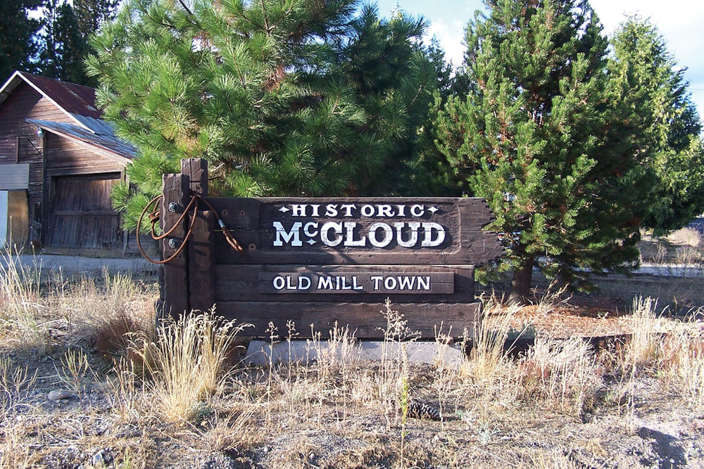
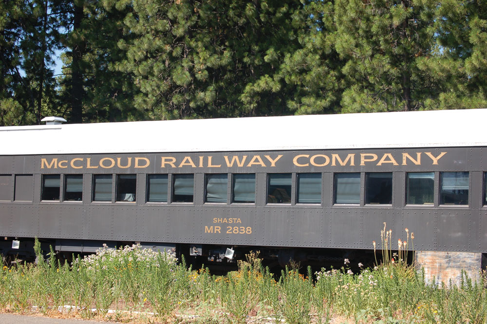
Rural lifestyles and low population numbers generally characterize the McCloud River Watershed. The largest community in the watershed is the town of McCloud with a population of 1,341 (2007). Timber and tourism are among the top industries for the area’s residents. The majority of the watershed is characterized by a checkerboard land-ownership pattern. A corridor of mostly private land follows the McCloud River, and large blocks of Shasta- Trinity National Forest occur throughout the watershed. The Nature Conservancy owns and manages a 2,330-acre preserve along the river corridor below McCloud Reservoir. Until recently, most of the lower McCloud River flowed through lands owned by two private fishing clubs (McCloud River Fly Fishing Club and Bollibokka Land Company). The Bollibokka Land Club was purchased by Westlands Water District in the San Joaquin Valley in 2007.
The McCloud River was occupied by Native Americans for at least 5,000 years, and a number of prehistoric sites are located on the terraces along the river and along the major ridges. Although there are no federally recognized tribal lands in the watershed area, Native Americans continue to have a strong connection to the land and interest in the protection of prehistoric sites.
The Winnemem Wintu Tribe has obtained special use permits for the purpose of conducting ceremony and collecting medicinal and ceremonial plants since the 1979 passage of the American Indian Religious Freedoms Act.
Management Objectives
Objectives for management of the McCloud River from the McCloud Reservoir dam downstream to Lake Shasta are set forth in the McCloud River CRMP. This management plan was adopted by the McCloud River CRM in July 1991, with the primary goal to preserve the pristine quality of the McCloud River. The management plan establishes guidelines to coordinate management by the principal landowners and public land management agencies in the drainage. Information from the CRMP coupled with management goals of the Shasta-Trinity National Forest provides the foundation for the following priorities in the McCloud River Watershed:
- improve management of resources while promoting cooperation among agencies, groups, and individuals responsible for land use planning and implementation within the CRMP area boundaries;
- maintain wild trout populations at levels necessary to provide satisfactory recreational angling opportunities;
- maintain, and enhance where appropriate, habitat required for optimum wild trout populations;
- preserve the natural character of the streamside environment;
- maintain timber production consistent with watershed, viewshed, and fishery protection;
- provide for public use consistent with wildlife and watershed protection and private landowner rights; and
- maintain a predominantly natural-appearing area.
The McCloud River (together with the Upper Sacramento and Lower Pit River Watersheds) has recently been approved as a “region” under the IRWM Program. An RWMG has been formed that includes The River Exchange; Cal Trout; local, state, and federal agencies; private timber companies; and Native American representatives, among others. The group will attempt to secure an IRWM planning grant and, eventually, implementation funding for projects that address the management issues identified above.
Management Organizations Active in the Watershed
The Nature Conservancy
The Nature Conservancy owns and operates a 2,330-acre River Preserve along the Lower McCloud River that offers hiking and limited fishing opportunities.
McCloud River CRMP
In 1989, partially in response to a potential Wild and Scenic River listing, a number of private landowners, agencies, and stakeholders came together to form the McCloud River CRMP and developed a management plan for the Lower McCloud River.
McCloud Watershed Council
McCloud Watershed Council is a nonprofit organization of residents and business owners working to support a sustainable community and protect natural resources by providing advocacy and stewardship for the greater McCloud River Watershed.
The Winnemem Wintu
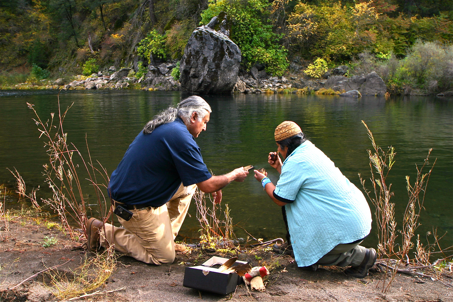
For several thousand years, native tribes lived near the Upper Falls of the McCloud River in the late spring, summer, and fall. The Winnemem Wintu came from the south, the Shasta Tribe came from the north, and the Pit River Tribe came from the east. They came from their valley homes to hunt and fish. Rainbow trout were caught in great numbers in the pools of the Upper and Middle Falls, and elk once wandered the lush meadows of the area. Present day Winnemem Wintu people are still connected to the river.
“It is our life blood that flows down from the mountain to the people below.”
— Mark Franco, Headman, Winnemem Wintu Tribe