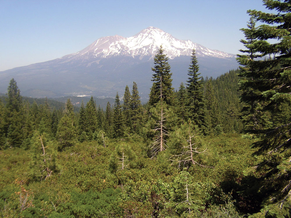
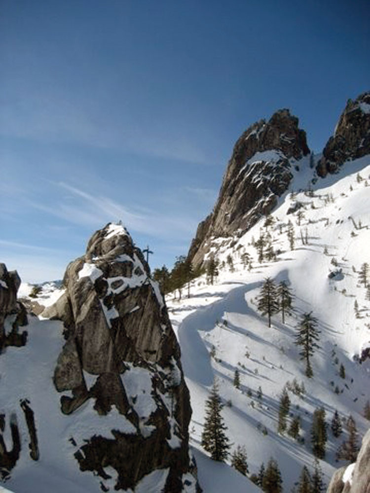
Mount Shasta and surrounding landscape
Watershed Size: 600 square miles
Watershed Length: ~40 miles
Average Annual Precipitation: 50 inches (Mount Shasta) to 70 inches (lower watershed area)
Elevation:
- Highest: 14,162 ft. (Mount Shasta).
- Lowest: 1,000 ft. (Lake Shasta)
Population: ~11,000
Management Issues: wild trout, forest health/fuels management, aquatic/ riparian habitat, water quality
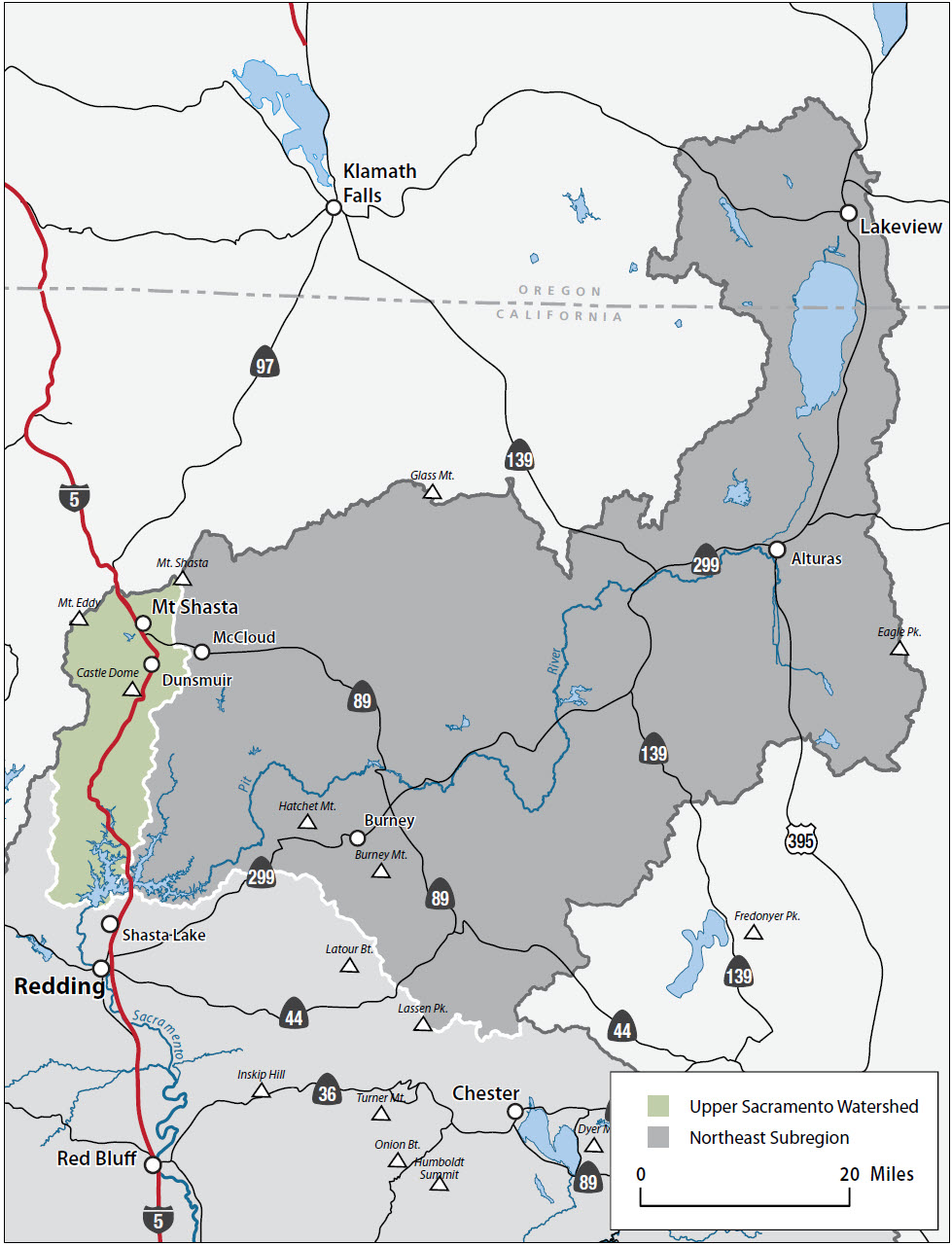
Counties: Siskiyou, Shasta
The Watershed at a Glance
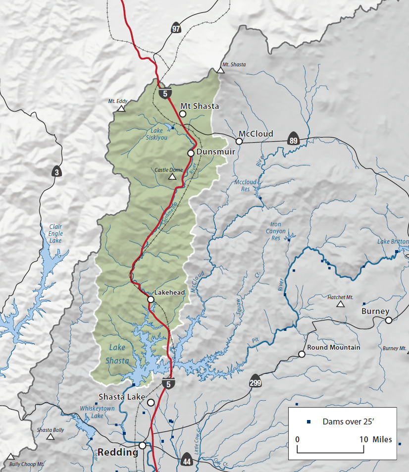
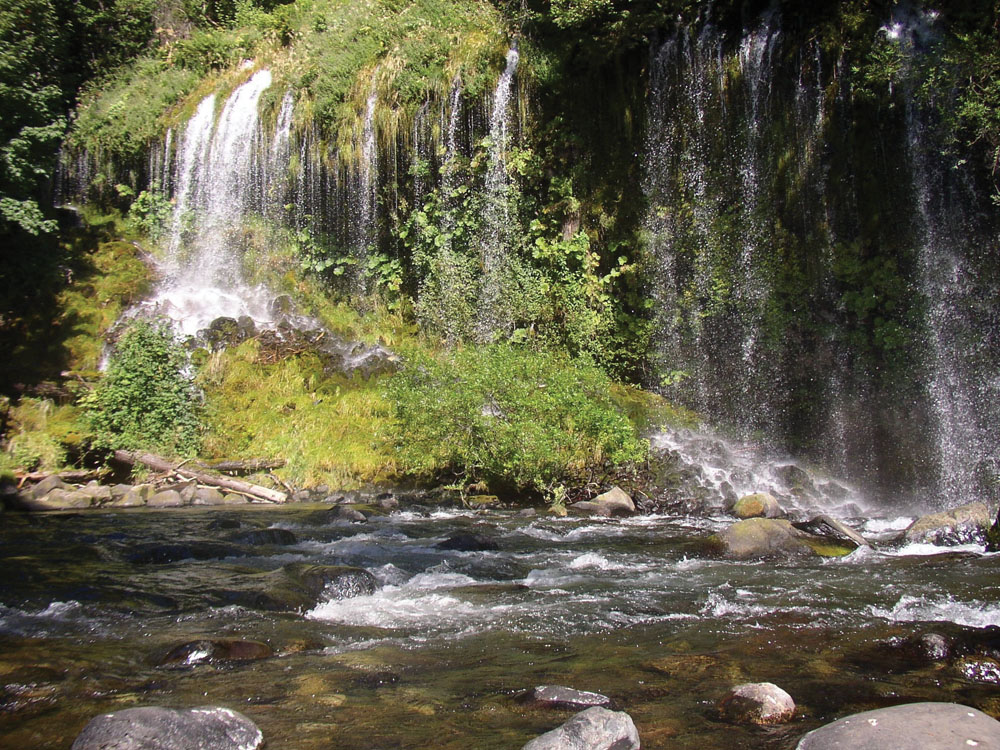
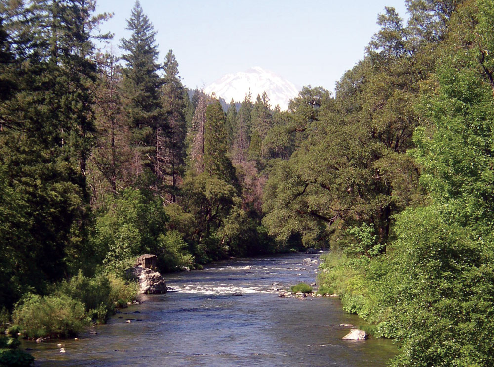
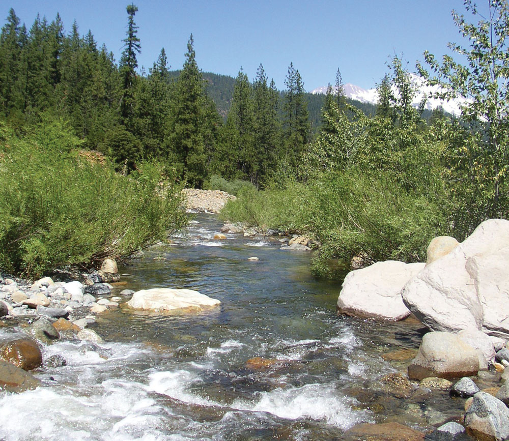
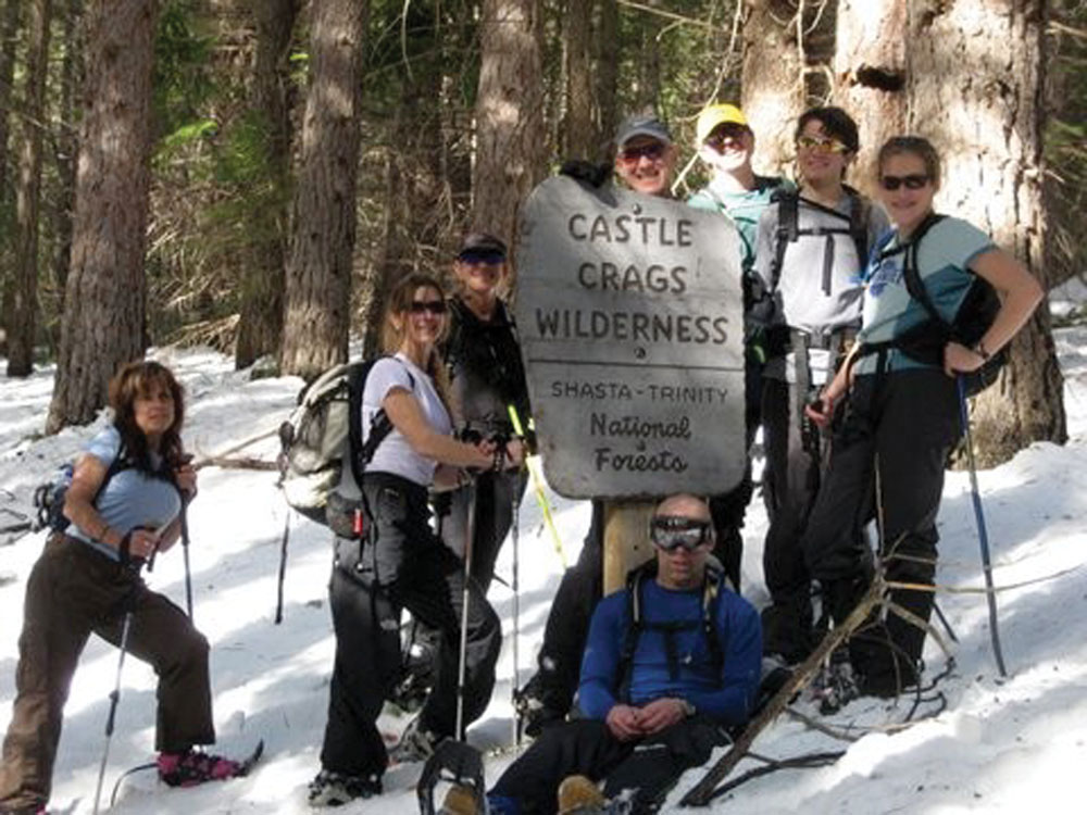
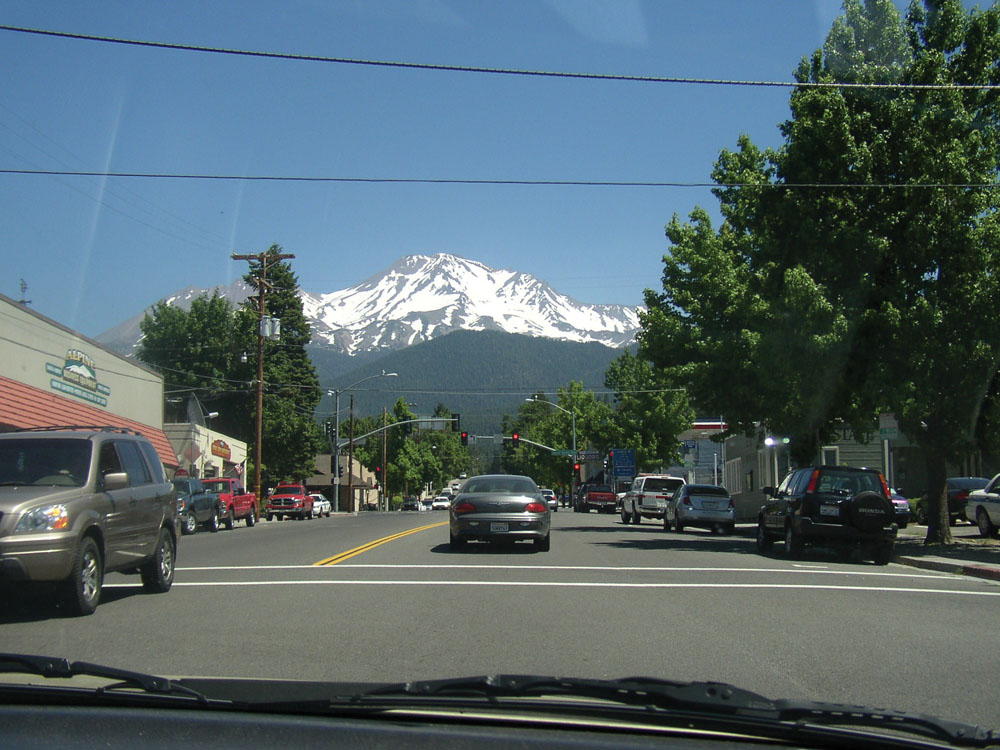
The Upper Sacramento River originates from water flowing off Mount Shasta to the north (a 14,000-foot dormant volcano) and from the Klamath Mountains to the west. The river flows south for approximately 40 miles, joined by numerous tributary streams, and empties into Lake Shasta above Shasta Dam. Near the city of Mount Shasta in Siskiyou County, flows are regulated by the 430-acre Lake Siskiyou Reservoir built in 1968 for power production and recreation. Wilderness, high mountains, and numerous lakes and streams, together with an abundance of public land, make this watershed a center for outdoor recreation. The watershed also supports extensive timber resources on both public and private lands, and the river itself is one of the state's premier wild trout waters. Prominent features in the watershed include Mount Shasta, Union Pacific Railroad, Lake Shasta and Shasta Dam, and Castle Crags State Park.
Hydrology
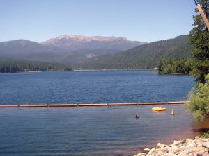
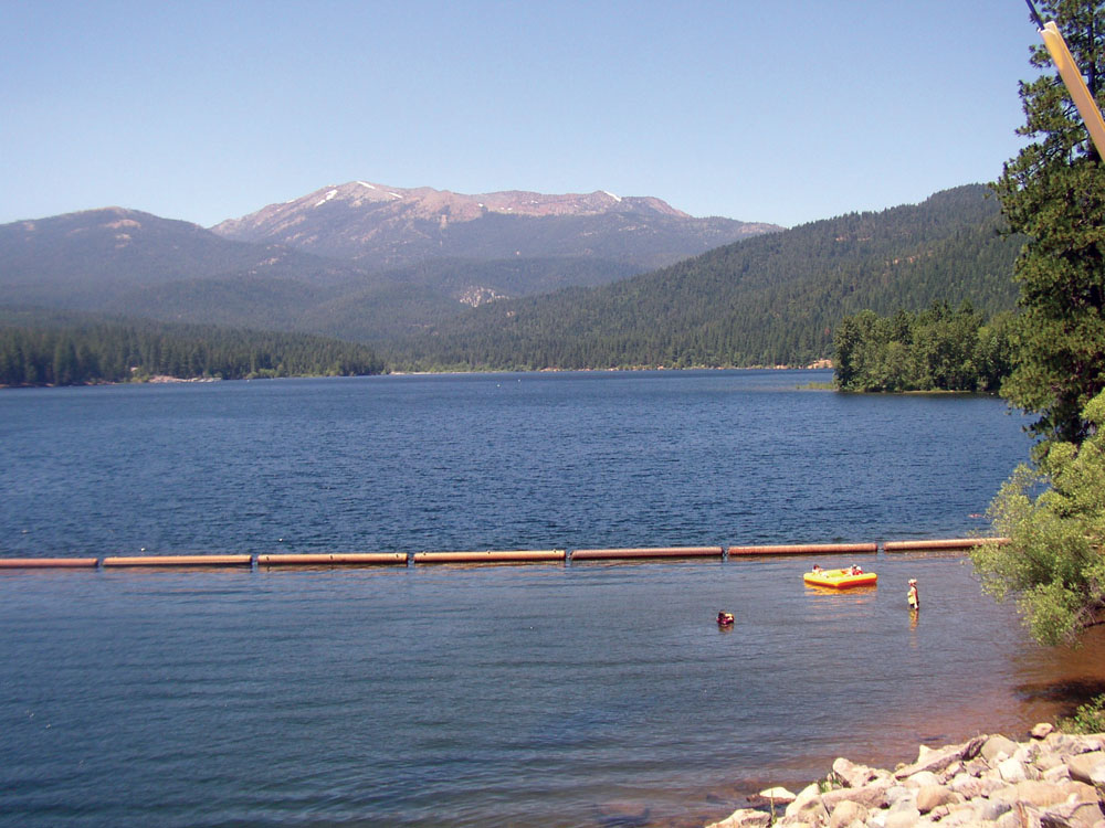
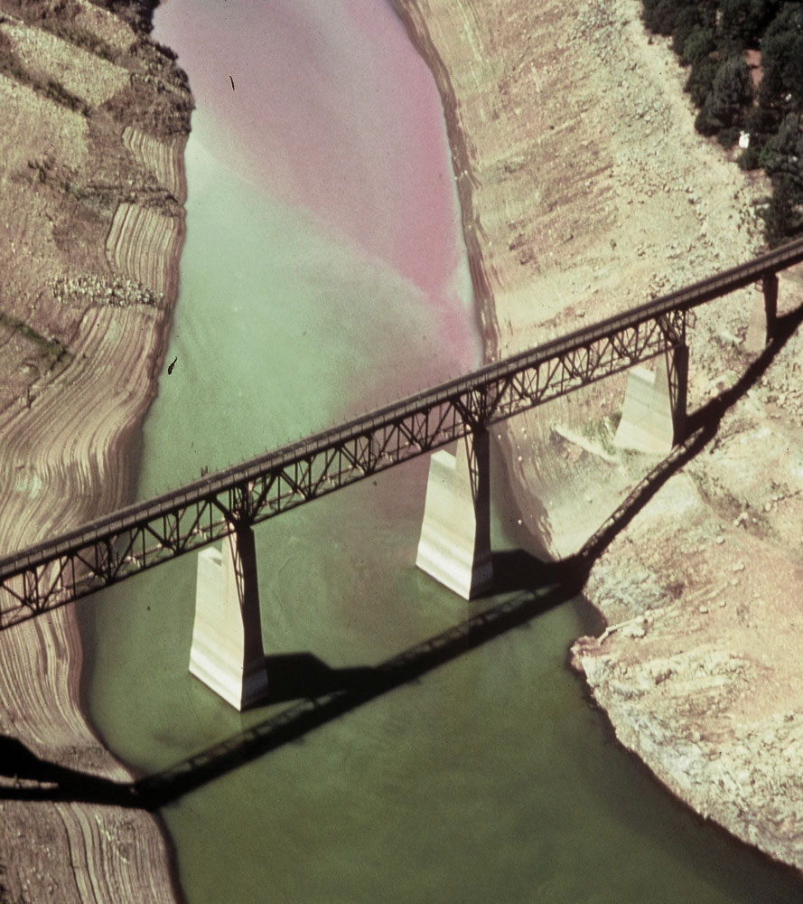
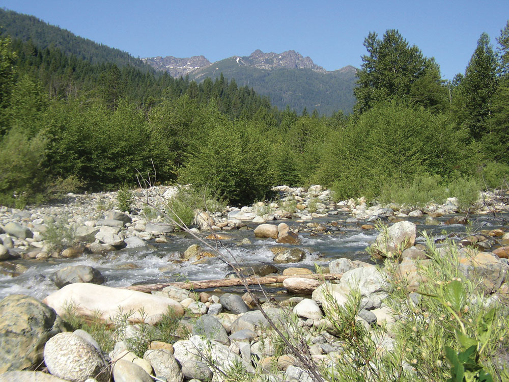
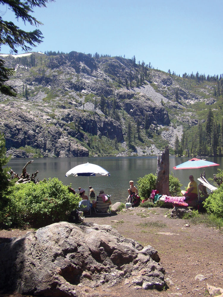
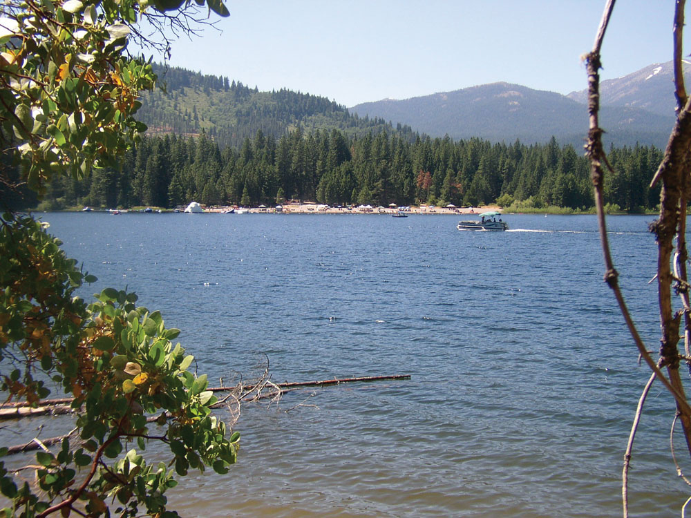
Springs from the volcanic geology of Mount Shasta plus numerous tributary streams fed by rainfall and snowmelt provide a consistent year-round flow of cold water to the Upper Sacramento River. Surface flow in the river has been monitored by USGS at a location near Lake Shasta since 1945. Average daily flow is approximately 1,000 cfs, with a peak daily flow of 70,000 cfs (1974) and extreme low of 117 cfs (1977). Located in the upper watershed near the city of Mount Shasta, the 26,100-acre-foot Box Canyon Dam/Siskiyou Reservoir is operated by Siskiyou County for hydropower generation and recreation. Local communities capture spring water for domestic supply. There are no defined groundwater basins in this watershed; however, individual domestic wells are located throughout the region, and larger wells supply water to bottling plants in Mount Shasta and Dunsmuir.
Water Quality
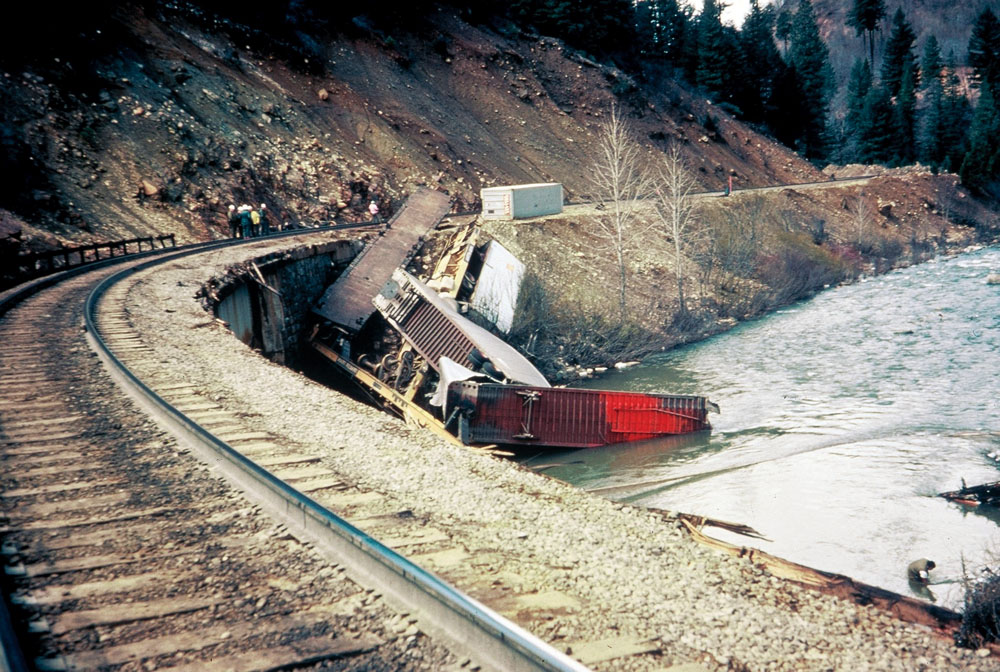
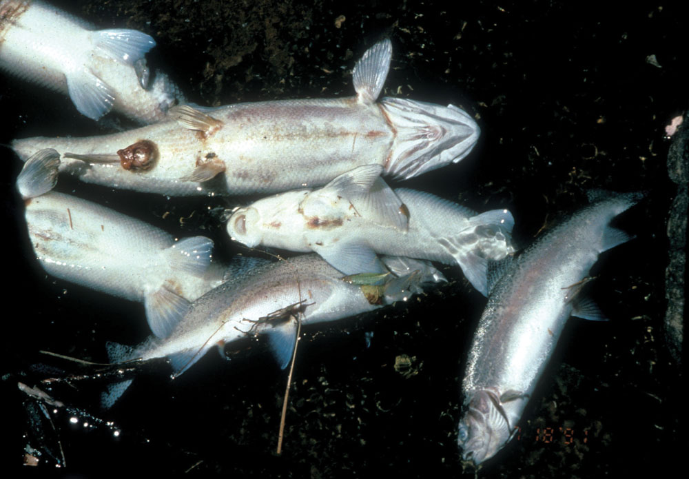
Water quality in the Upper Sacramento River and its tributaries is very good overall and supports a variety of diverse and abundant coldwater aquatic species. In July 1991, a major environmental disaster occurred when a railroad tank car loaded with herbicide derailed on Cantara
Loop upstream of Dunsmuir. The released herbicide destroyed all aquatic life in the river from Cantara to Lake Shasta. Subsequent years saw many studies and remediation projects on the river, including a 5-year water quality investigation by the Central Valley RWQCB. Findings of this study characterize existing water quality conditions and are summarized as follows:
- Water temperature is generally desirable for trout and other coldwater species, but in low-flow, hot summer years it is probably stressful for trout in the lower river above Lake Shasta.
- Vegetation shading in the river and stream riparian zones is critical for preventing temperature increase.
- Suspended and settleable sediment levels are less than believed harmful to aquatic life; however, there are some localized erosion/sediment problems that should be addressed.
- Metals, nutrients, and other chemical parameters are indicative of unpolluted water and are at levels supportive of native aquatic life.
- Effluent discharge from Mount Shasta and Dunsmuir wastewater treatment plants is generally in compliance with discharge requirements and not causing problems for water contact recreation or other beneficial uses.
Fish and Wildlife
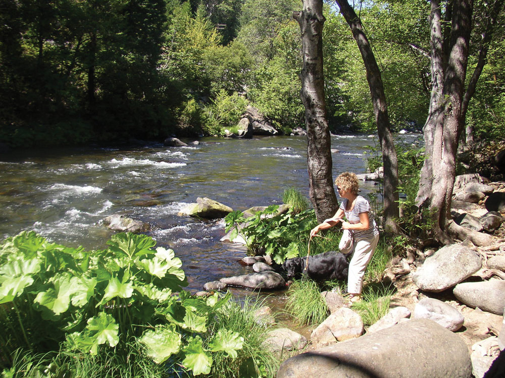
The steady supply and volume of cold, clean water in the Upper Sacramento River supports a high quality wild trout fishery. Anadromous salmon and steelhead runs that historically were abundant in the watershed ended with the 1943 completion of Shasta Dam; ongoing studies, however, are looking at the feasibility of restoring those runs. The watershed provides important habitat for a number of special-status plant and animal species, including rough sculpin, Shasta salamander, and northern spotted owl. Following the 1991 Cantara spill, a major effort was undertaken to restore fish and wildlife populations that were dependent on the Upper Sacramento River. That effort has been largely successful, and the river ecology has returned to pre-spill conditions. Today there are 75 mammal species living on the Upper Sacramento River, including 17 species of bat. Visitors to the area are likely to observe wildlife such as river otter, bald eagle, osprey, and great blue heron.
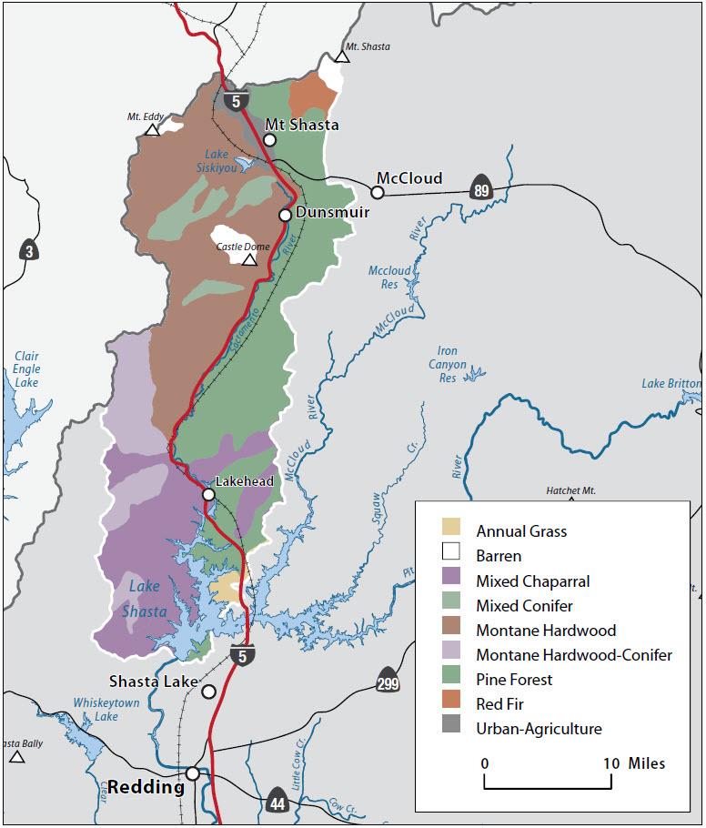
Vegetation

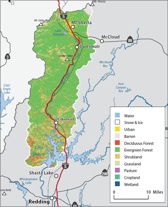
The Upper Sacramento River Watershed contains more than 250,000 acres of forested lands. This acreage includes major commercial stands of pine, fir, and cedar. Noncommercial stands of chaparral and hardwoods (black oak and live oak) are common, particularly in the lower elevations. Climate conditions and the generally steep terrain severely limit irrigation agriculture in this watershed. The dominant vegetative community is mixed conifer, covering approximately 46% of the watershed area. Mixed hardwood is next most prevalent, covering about 12%. Pacific yew, Indian rhubarb, and white alder are only a few of the native plants to be seen in the riparian area adjacent to the river.
Life in the Watershed
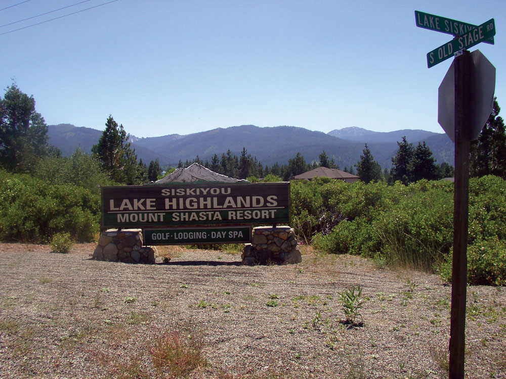
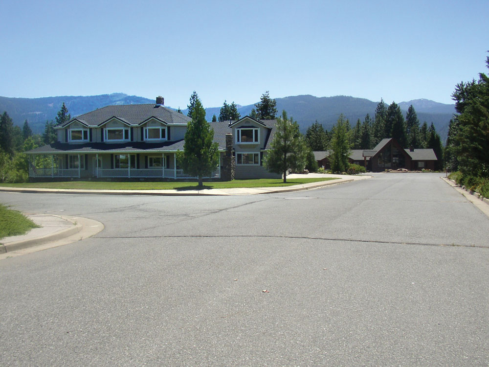
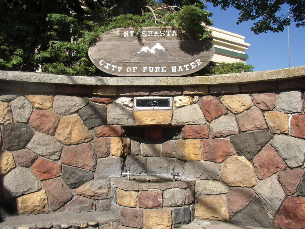
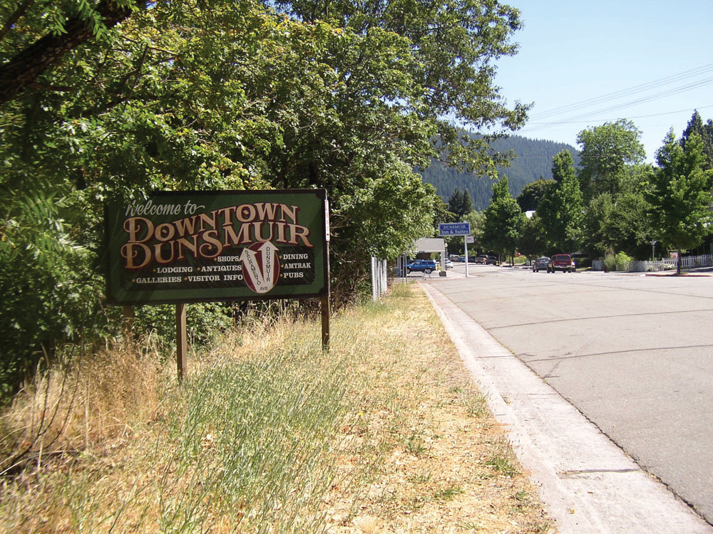
Recreation and tourism are two of the primary drivers of the local economy. While timber production is still prominent, many businesses and communities in the watershed have shifted their economic base away from that of logging and forest products industries to take advantage of the region’s abundant recreational and scenic qualities. Overall population is sparse (approximately 11,000) and mostly resides in the two Siskiyou County communities of Mount Shasta and Dunsmuir. Interstate 5 and the Union Pacific Railway are the main north-south transportation corridors. Attesting to the high-quality source waters, two waterbottling plants operate in the watershed.
Management Objectives
The River Exchange, a local watershed stewardship organization, together with a stakeholder-based steering committee, completed the Watershed Assessment and Management Strategy for the Upper Sacramento River in June 2010. Based on findings of the watershed assessment and other stakeholder input, the principal management issues for this watershed area are:
- improve forest management practices on both public and private lands, including addressing concerns about erosion from active and abandoned roads, recreation, and off-road vehicle use;
- improve forest fuels management to reduce risk of catastrophic wildfire;
- assess potential impacts from climate change that may affect snowpack, runoff from Mount Shasta glaciers, watershed hydrology, and recreational attributes; and
- address aging and inefficient water-related infrastructure and water quality issues from treated wastewater discharge to the river.
The Upper Sacramento River (together with the McCloud River and Lower Pit River Watersheds) was recently approved as a “region” under the IRWM program. An RWMG has been formed that includes The River Exchange; Cal Trout; local, state, and federal agencies; private timber companies; and Native American representatives. The group will attempt to secure an IRWM planning grant and, eventually, implementation funding for projects that address the management issues identified above.
Management Organizations Active in the Watershed
The River Exchange
The River Exchange is a nonprofit organization established following the 1991 Cantara spill for the purpose of restoring the attributes of the Upper Sacramento River Watershed and establishing a public center for information on the status of river conditions. With assistance from a steering committee of diverse stakeholders, The River Exchange has taken the lead in developing an Upper Sacramento River Watershed Assessment and Management Strategy. The River Exchange, together with the Mount Shasta area office of Cal Trout, recently applied for designation as a region under the IRWM (a region that includes the Upper Sacramento, McCloud, and Lower Pit River Watershed areas). This IRWM region was approved, and work is underway to develop a regional water management plan.
Other Organizations
A number of major stakeholders in this watershed area have been actively involved in post–Cantara spill recovery work, and in the future planning and management of the watershed. These include DFG, CAL FIRE, Shasta-Trinity National Forest, private timberland owners (principally Roseburg Forest Products and Sierra Pacific Industries), Siskiyou County, Cal Trout, and the Union Pacific Railroad Corporation.