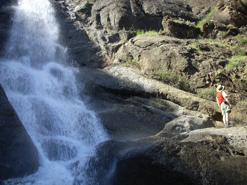
Waterfall along Wildhorse Canyon, below Monticello Dam
Photo by Andrew Fulks
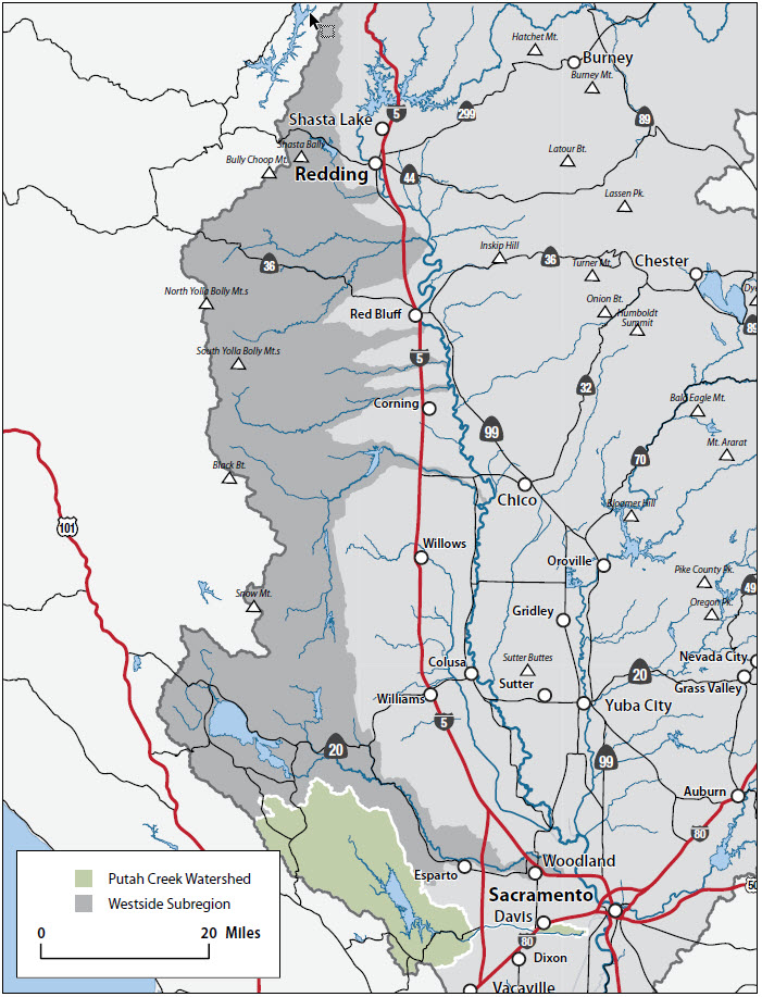
The Watershed at a Glance
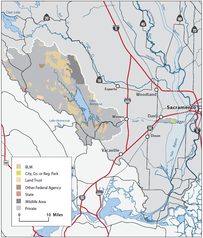
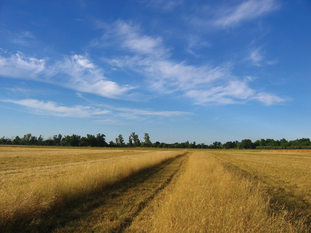
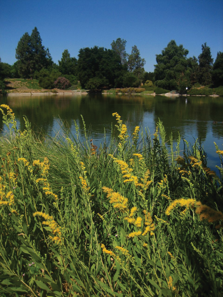
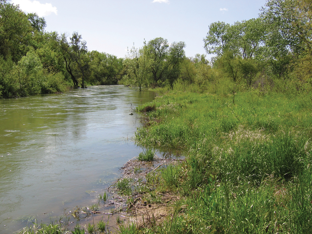
Putah Creek is 70 miles (113 km) long and has its headwaters in the Mayacamas Mountains, a part of the Coast Range. Putah Creek typically is divided into the upper watershed, which encompasses the 576–square mile area upstream of Monticello Dam, and the lower watershed, which consists of a considerably smaller but less precisely defined area between Monticello Dam and the Yolo Bypass. Approximately 90% of the total annual flow of Putah Creek measured at the confluence of Putah Creek and the Yolo Bypass originates from the upper watershed. The watershed supports a unique assemblage of natural communities, including serpentine chaparral, grasslands, oak savanna, oak and mixed oak/coniferous woodlands, riparian, freshwater lake, and cliff habitats. As a result of historical mining, water quality in Putah Creek has been 303(d) listed as impaired for excessive mercury bioaccumulation in edible fish. Invasive weed and New Zealand mudsnail infestations are also an issue in the watershed. Major land uses around Putah Creek include rangeland and recreation. On an annual basis, Putah Creek has one of the highest rates of angler use per mile of any similar-sized streams in California. The Riparian Reserve established by UC Davis in1983 is a favorite spot for bird watching and picnicking.
Hydrology
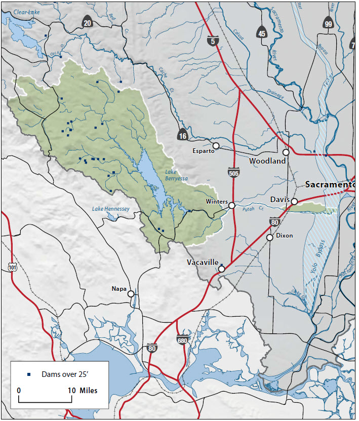
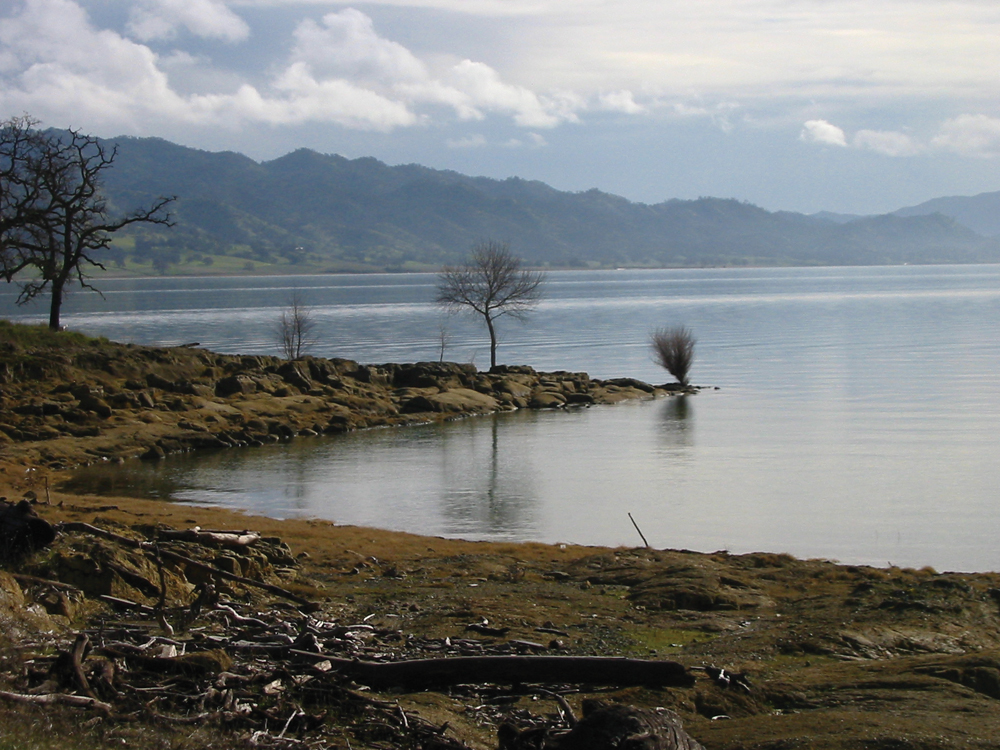
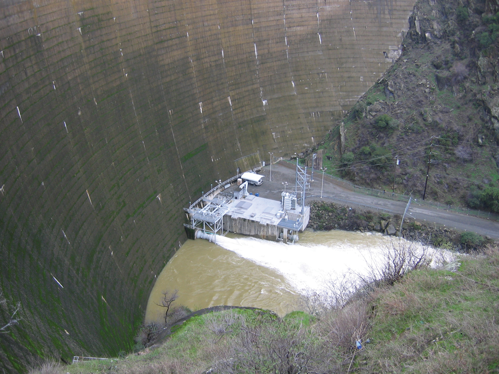
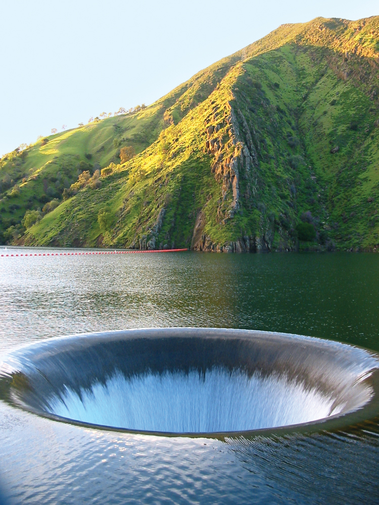
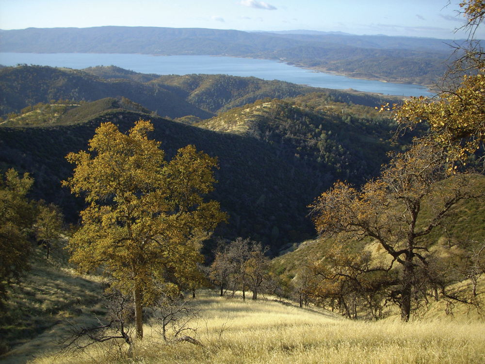
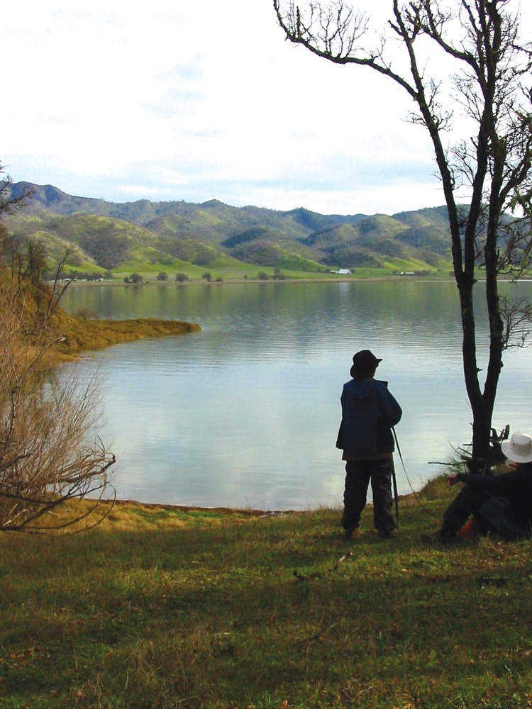
Putah Creek originates from springs on the eastside of Cobb Mountain in Lake County. It descends eastward to the town of Whispering Pines, where it turns southeast, paralleling State Route 175. Upper watershed tributaries include Bear Canyon, Dry, Helena, Crazy, Harbin, and Big Canyon Creeks. Putah Creek enters Napa County at the confluence with Hunting Creek about 11 miles east of Middletown. In Napa County, the creek merges with Butts Creek just before it empties into Lake Berryessa. This lake is formed by the Monticello Dam, the only major storage dam on the creek. Lake Berryessa has a capacity of 1,602,000 acre-feet of water, making it one of the largest reservoirs in California. The dam and lake are part of the BLM’s Solano Project to provide water for irrigation, although it also supplies municipal and industrial water to major cities in Solano County.
Downstream of Monticello Dam, Putah Creek leaves Napa County and becomes the boundary between Yolo and Solano Counties. The stream continues east along State Route 128, meeting Pleasants, McCune, and Dry Creeks and passing through the town of Winters to reach Interstate 505. From there it continues eastward, paralleling Putah Creek Road to Stevenson Bridge Road. A few miles east of Davis, the county line turns south, but the creek continues eastward, passing south of Davis to feed into the Yolo Bypass about one-quarter mile west of the Sacramento Deep Water Channel.
The natural flow pattern of Putah Creek has been altered by water storage in Lake Berryessa, and spring through fall irrigation releases. Flows from Monticello Dam are high in summer and low in winter in all but the wettest years. The largest diversion is the Putah South Canal diversion at Putah Diversion Dam; this and other irrigation diversions reduce flows to very low levels in all but wet years. Until recently, flows near Davis were very low during summer and fall, generally 0 to 60 cfs. These lengthy periods of drying resulted in substantial fish deaths and a general depression of the overall fish population to the dismay of creekside landowners, conservationists, birders, nature lovers, and environmentalists.
On May 23, 2000, following 10 years of litigation related to streamflows for supporting fish and other natural resources, Putah Creek Council, City of Davis, and UC Davis signed on to a historic water accord with the Solano County Water Agency, Solano Irrigation District, and other Solano water interests to establish permanent surface water flows for the 23 miles of Putah Creek below the Putah Diversion Dam. Water is now released to Lower Putah Creek from Putah Diversion Dam to maintain a minimum flow for environmental protection; to meet valid water rights to the Interstate 80 bridge; and maintain continuous flow downstream to the western boundary of the Yolo Bypass. Approximately 32,000 acre-feet per year is required to be passed below the dam for environmental purposes. Another 200,000 acre-feet of Putah Creek water per year is diverted to Solano County farmers (about 75%) and urban users (about 25%).
Water Quality
The Putah Creek Watershed is rich in mineral deposits, and prospecting for mercury and gold has taken place in the watershed since the mid- 1800s. Natural weathering, mining waste, and venting from natural geothermal springs all have contributed to the introduction of mercury in the area’s water bodies. Campus wastewater discharges from UC Davis and runoff from a U.S. Department of Energy Superfund site both contribute to the excessive mercury levels in Putah Creek. Putah Creek has been listed on the Clean Water Act Section 303(d) list of impaired water bodies for excessive mercury.
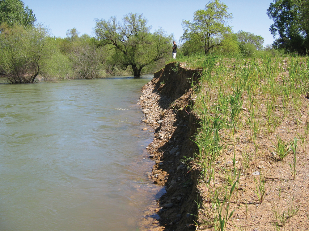
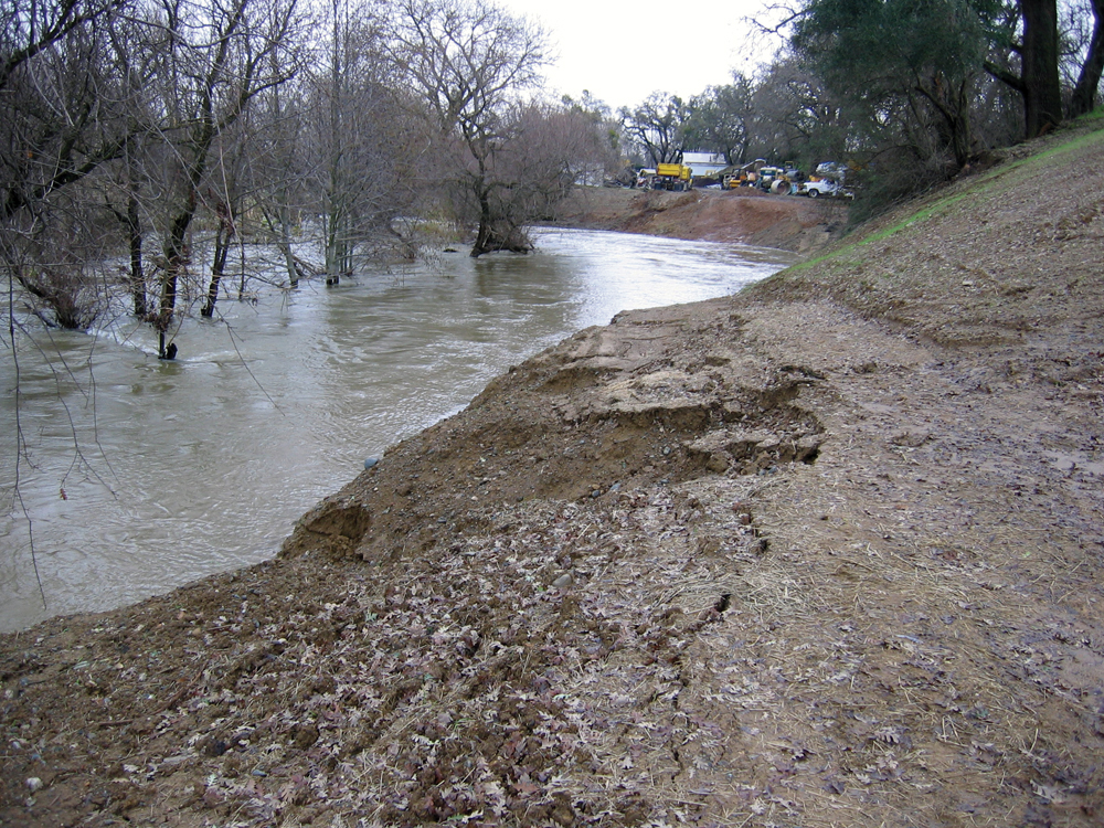
Lower Putah Creek also is affected by high turbidity from eroding tributary channels. The tributaries are adjusting to 20-foot-lower peak water surface elevations in the main channel compared with pre- Monticello Dam conditions. The cross-sectional area of tributary channels has increased approximately ten-fold in the post-dam era, and Lake Solano (7 miles below Monticello Dam) is filled to capacity with sediment. Loading of fine sediments degrades aquatic habitat by embedding gravel substrate.
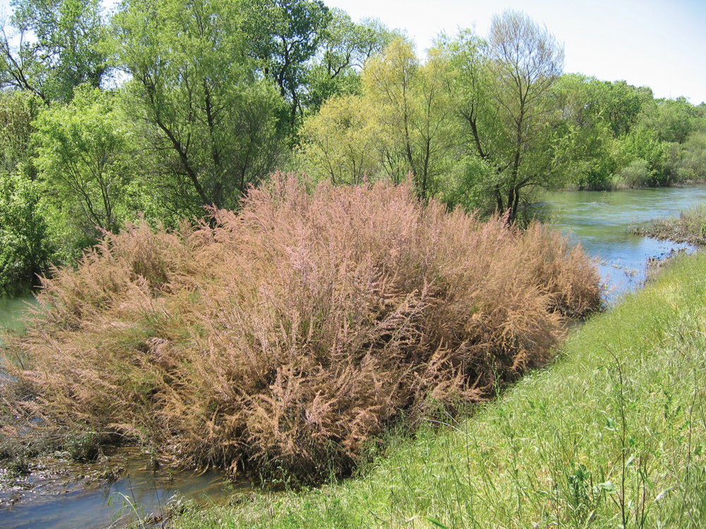
Nonnative plant species commonly found in the watershed are eucalyptus, saltcedar (Tamarisk spp.), giant reed (Arundo donax), Himalayan blackberry, tree-of-heaven, perennial pepperweed, and invasive annual grasses. The predominant invasive annual weeds include star-thistle, Italian thistle, milk thistle, and wild oats.
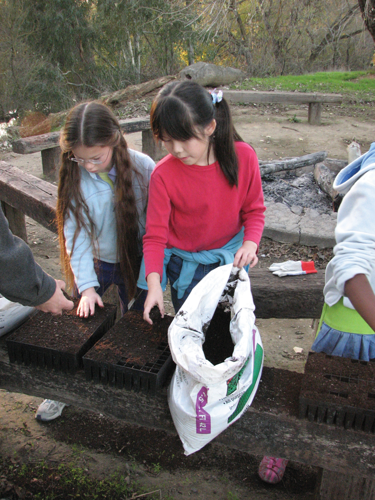
In 2008, Solano County Water Agency on behalf of the Lower Putah Creek Coordinating Committee entered into an agreement with the CAL FIRE to use nursery facilities at the L.A. Moran Reforestation Center in Davis to propagate local ecotypes of native plants from seeds and cuttings collected in the Putah-Cache Bioregion.
Vegetation
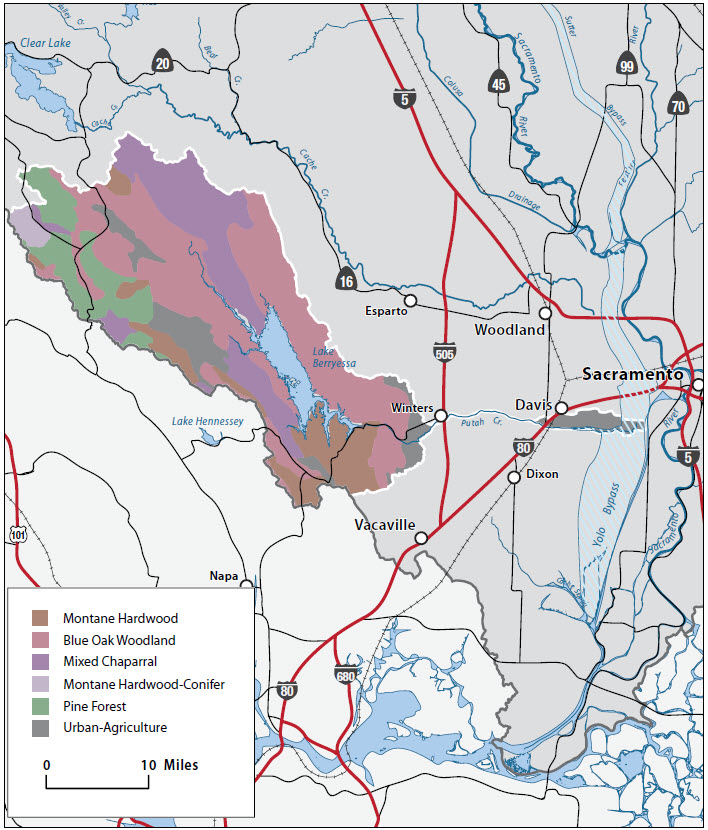
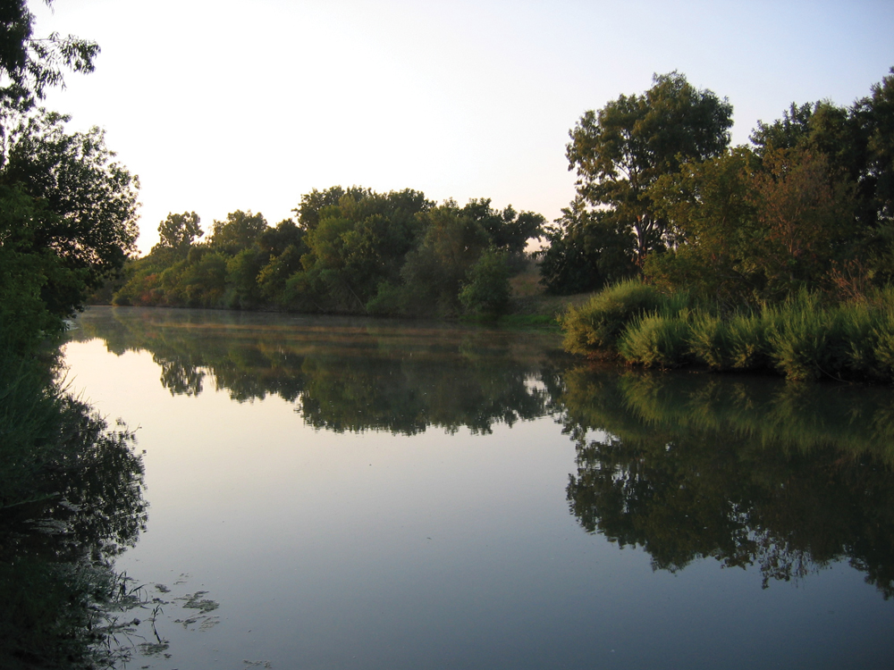
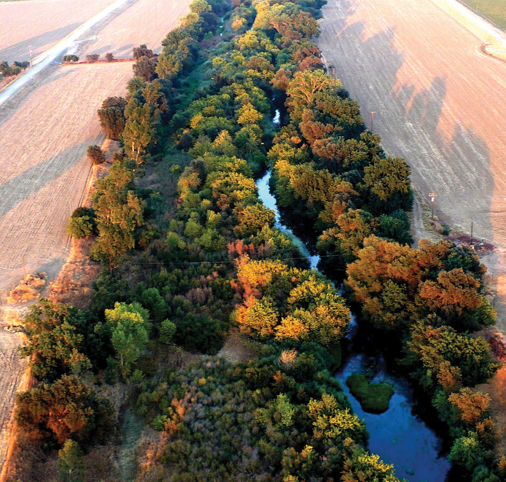
The natural riparian forest in the Putah Creek Watershed is composed mostly of Central Valley mixed riparian woodland. Typical understory species include box elder, Oregon ash, white alder, Goodding and red willow, buttonwillow, mulefat, California nettle, wild rose, wild grape, and California blackberry. Typical canopy species include Fremont cottonwood, valley oak, and California sycamore. Canopy vegetation in the Riparian Reserve established by UC Davis is dominated by valley oaks and northern California black walnut. Arroyo willow and narrow-leaved willow are found on the streambanks closest to the water and within the annual flood zone.
Fish and Wildlife
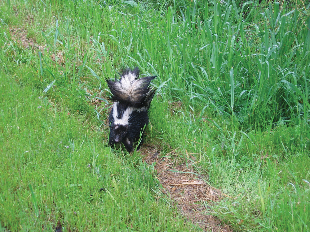
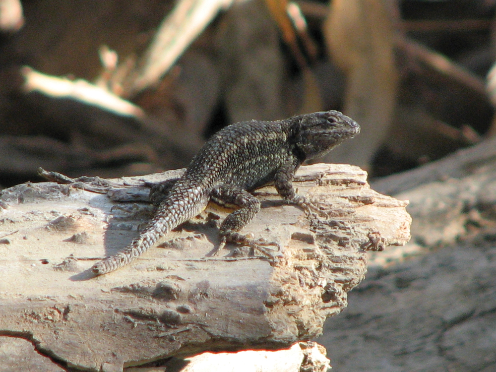
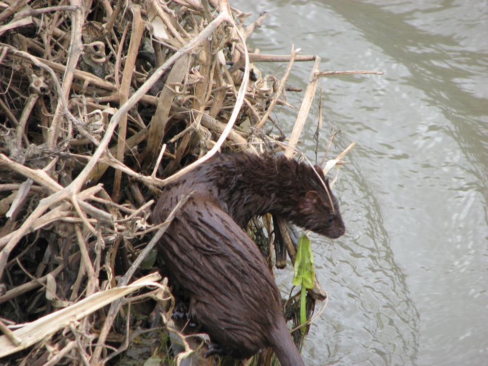
The creek and its riparian vegetation are a refuge for wildlife that is otherwise rare or declining in the region, including the giant garter snake, the valley elderberry longhorn beetle, the northwestern pond turtle and Swainson’s hawk. The Putah Creek Watershed is home to 220 bird species, 31 butterfly species, 14 species of reptiles and amphibians, and 31 species of mammals. Small mammals such as beavers, squirrels, and raccoons are abundant along the creek. Bears and mountain lions are sometimes spotted in the Putah Creek Riparian Reserve. During the spring and fall, the bushes along the creek are rich with migrating warblers and sparrows. Putah Creek also contains a large number of fish species. While the majority of these are introduced game fish, the creek still supports remnants of the onceabundant Central Valley native fish such as hitch, squawfish, and Sacramento suckers. Native rainbow trout still swim in the upper mountain reaches, and historically, Chinook salmon and steelhead spawned in the lower and middle portions of the creek. Putah Diversion Dam is now the upstream terminus of salmon and steelhead migration. Salmon attraction flows allow some spawning of anadromous fish even in years with limited runoff.
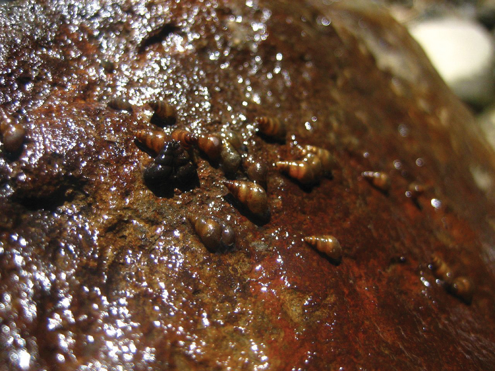
An invasive species that is of concern in this watershed is the New Zealand mudsnail. It was first discovered along Putah Creek in October 2003. It is thought that anglers are spreading this invasive species on wading gear between areas in the watershed. The New Zealand mudsnail can choke out other native snails and insects, deprive fish of their main sources of food, multiply rapidly, and damage fisheries and native habitats.
Life in the Watershed
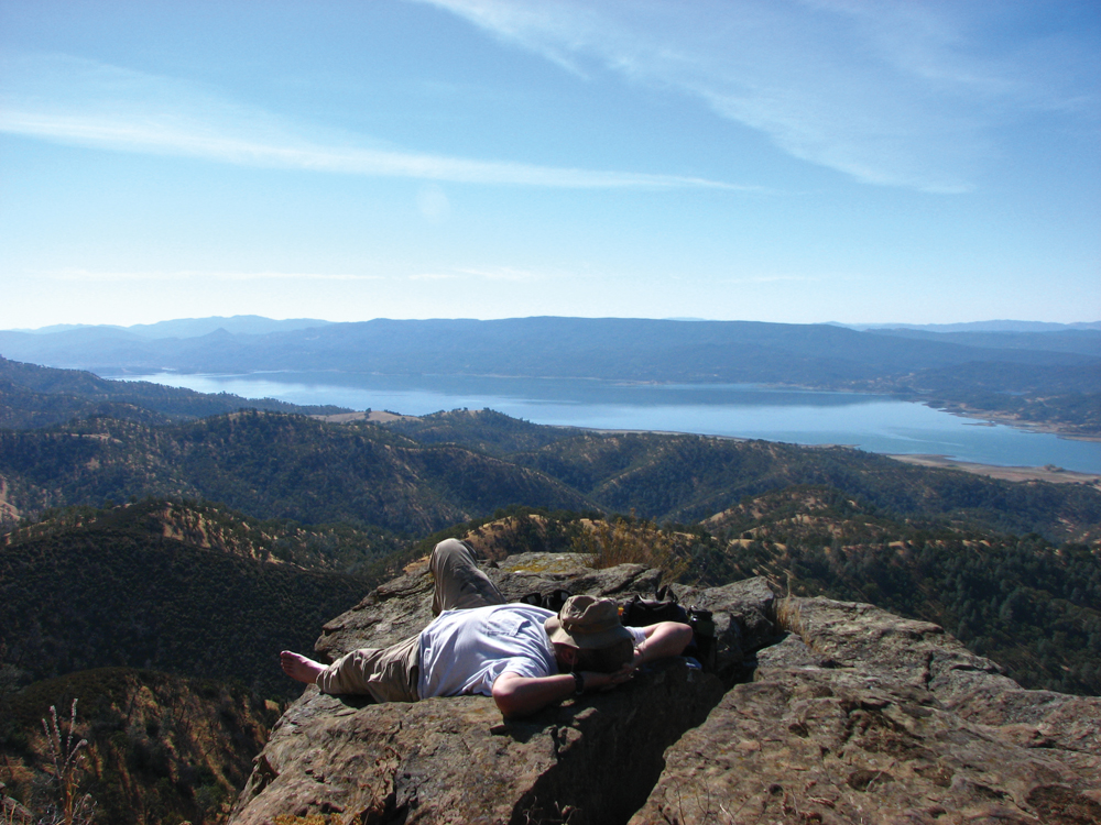
The Putah Creek Watershed encompasses four counties: Lake, Napa, Solano, and Yolo. Land in the upper watershed is used mainly for recreation and rangeland. Putah Creek and its respective lakes offer excellent swimming holes, opportunities for boating, and trails for bicycling or jogging. Fishing is a major recreational activity in this watershed. On an annual basis, Putah Creek has one of the highest rates of angler use per mile of any similar-sized streams in California.
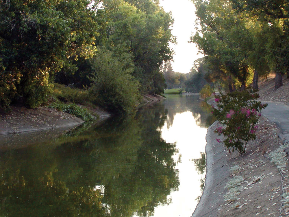
The major “industry” in the Lower Putah Watershed is UC Davis. UC Davis established the Riparian Reserve in 1983 to preserve creekside habitat on campus property for research, teaching, and wildlife habitat protection. The Putah Creek Riparian Reserve is approximately 640 acres, along 5.5 miles of Putah Creek, on the UC Davis campus. People have been visiting the reserve for years for bird watching and picnicking. The reserve is a natural haven for wildlife in an urbanized and agricultural landscape and presents a unique opportunity to conduct field research on a riparian system near the central campus.
Management Objectives
Although there are several organizations actively involved in managing Putah Creek Watershed resources, there is currently not a comprehensive management plan for the entire watershed. The Upper Putah Creek Stewardship helps to coordinate watershed management in the upper watershed. In the lower watershed, a management plan for the Putah Creek Riparian Reserve was developed in 2005 to guide the future direction of the reserve. Objectives of this management plan are:
- remove and control invasive species within the reserve;
- expand teaching use of reserve;
- expand research use of reserve;
- expand community awareness and appreciation of reserve and Putah Creek Watershed; and
- allow for public recreation, so long as it is done safely and does not conflict with above objectives.
Additionally, the Lower Putah Creek Coordinating Committee, with funding from the CALFED Watershed Program, developed a Watershed Management Action Plan in three parts: (1) Watershed Assessments (2005)—a scientific assessment of current conditions; (2) Stewardship Meetings to determine community priorities (2007); and (3) Priority Projects—a synthesis of science and community priorities. The overarching goal of the plan is to restore Lower Putah Creek to self-sustaining ecological condition with particular attention to natural channel morphology as a foundation of ecological health, and recognition that communities manage watersheds.
Lastly, both Solano and Yolo Counties have developed IRWM plans. An IRWM plan for Yolo County (including portions of Putah Creek Watershed) was completed in April 2007. The planning process was led by the Water Resources Association of Yolo County and focused on the following elements:
- water supply and drought preparedness,
- water quality (both surface water and groundwater),
- flood management and storm drainage,
- aquatic and riparian ecosystem enhancement, and
- recreation.
In 2005, an IRWM plan was developed for the Solano County Water Agency and its member cities and districts. The Solano IRWM Plan proposed region-wide policies and projects to meet the following ten objectives of the Solano agencies:
- match supply to demand through the long term,
- manage Solano County’s groundwater resources,
- encourage water of the appropriate quality for the intended use,
- improve runoff water quality,
- manage flood control services,
- participate in multi-county flood control,
- manage environmental resources,
- leverage state and federal funding opportunities,
- address safety and security issues, and
- prepare for climate change.
Recently, Yolo and Solano Counties have joined with Colusa, Napa, and Lake Counties to collaboratively develop a revised IRWM Plan for the Westside Region.
Organizations Active in the Watershed
In addition to the government agencies that are actively working in the watershed, the nonprofit organizations discussed below also are involved.
Putah Creek Council
Founded in 1988, the Putah Creek Council is dedicated to the protection and enhancement of Putah Creek and its tributaries through advocacy, education, and community-based stewardship.
Putah Creek Trout
Putah Creek Trout is a 501(c)(3) nonprofit organization that grew out of an online community of more than 900 Putah Creek fishers concerned with the many challenges facing the creek, including litter, erosion, low streamflows, illegal fishing, and invasive species. Putah Creek Trout fosters stewardship to improve the wild trout fishery in Putah Creek.
The Upper Putah Creek Stewardship
The Upper Putah Creek Stewardship is a nonprofit, community-based watershed organization located in Lake County that began in 1996 and received 501(c)(3) status in 2000. The Stewardship encourages watershed residents to make conscious decisions that balance economy, environment, and social equity. Additionally, the Stewardship works to enhance and maintain water quality and habitat, and community well-being, through education and careful action. The goals are accomplished through water quality monitoring, youth-based education, and community outreach.