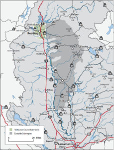
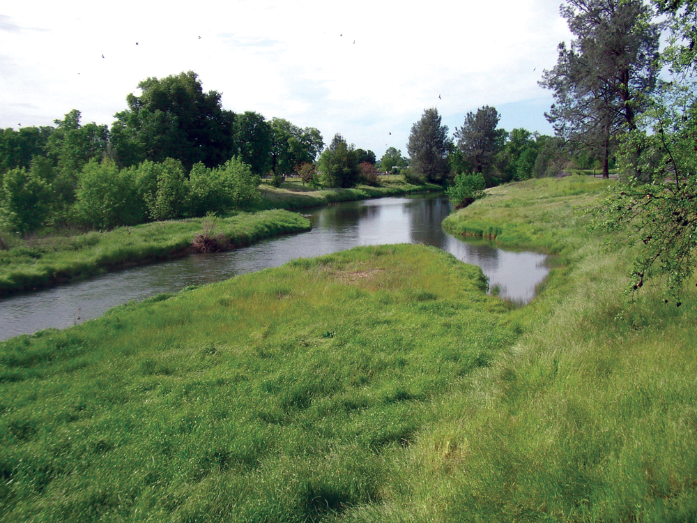
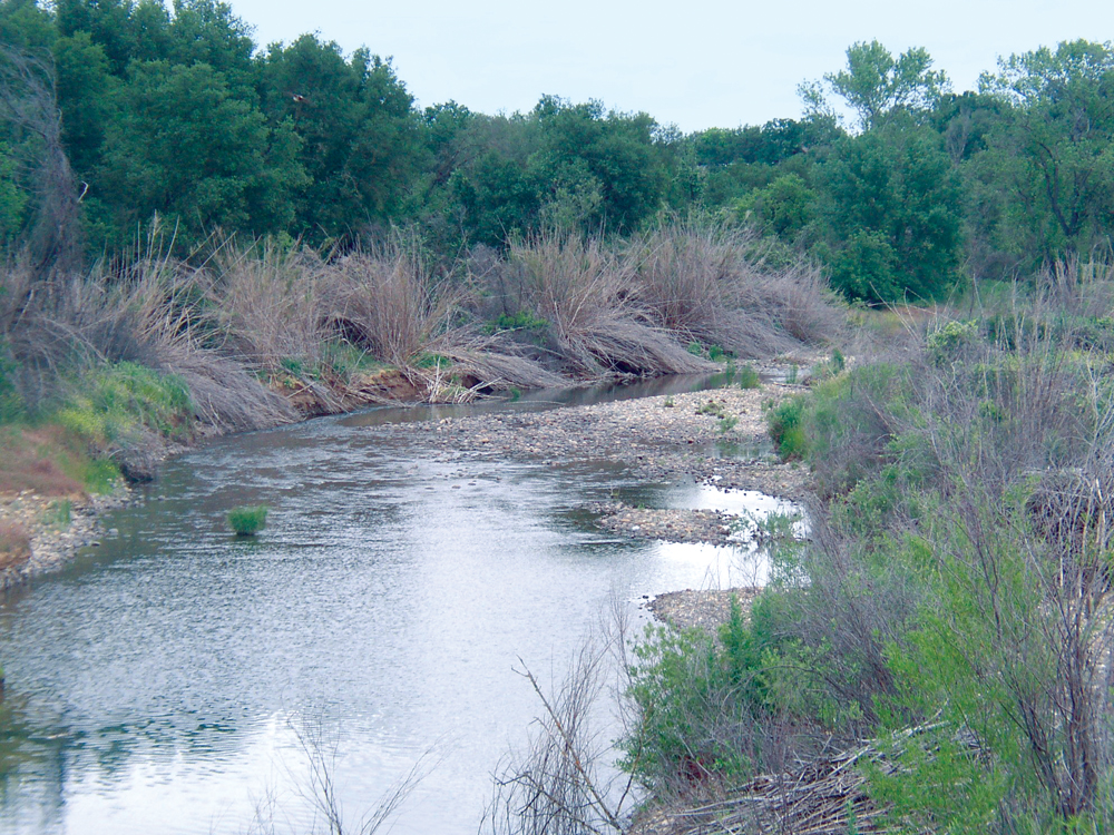
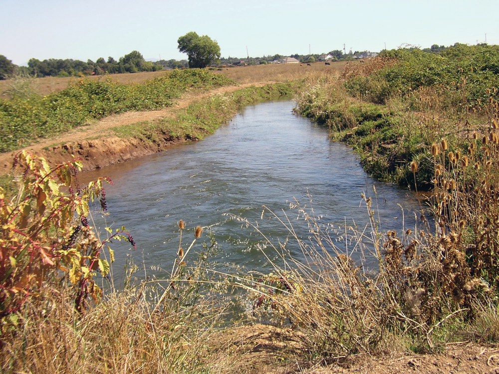
Clover Creek between Churn and Stillwater Creeks
The Watershed at a Glance
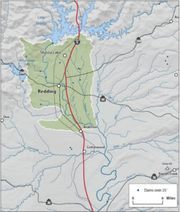
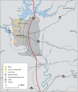
Stillwater Creek and Churn Creek are two streams that originate in the foothills north of Redding, flow through the urban residential area and surrounding ranch and farm lands south and west of Redding, and then into the Sacramento River. The watershed is predominantly (96%) in private ownership and city and county general plans have zoned much of the watershed for urban residential and commercial use. Prior to the recent slowdown in construction and home sales, the watershed was experiencing unprecedented urban and residential growth. Concerns of the watershed community center on urbanization of the watershed, wildfire risk, stream channel erosion, and loss of habitat for wildlife and aquatic species.
Water Quality
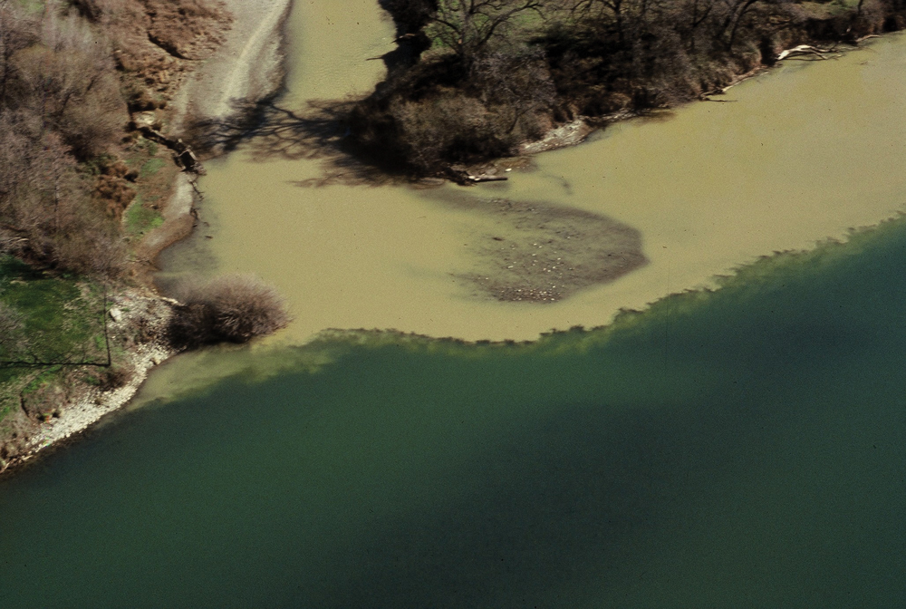
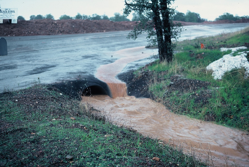
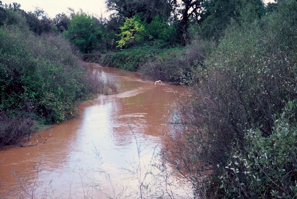
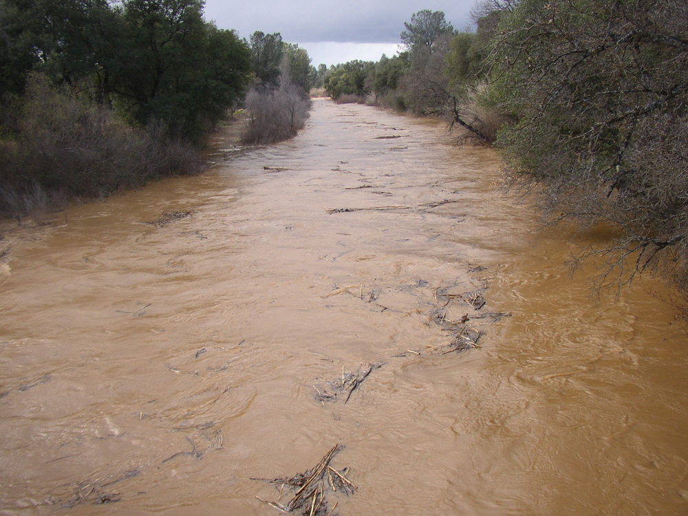
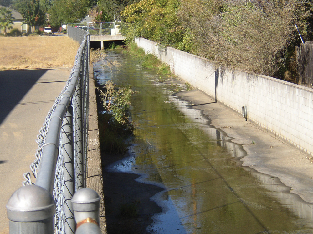
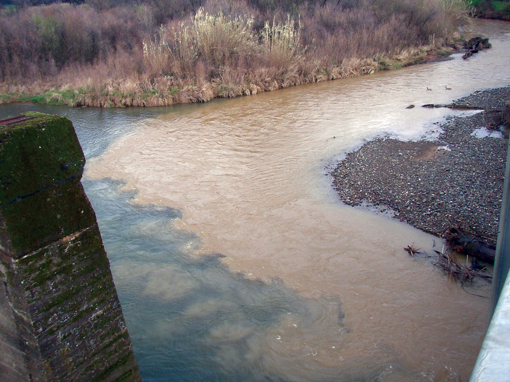
No comprehensive water quality studies have been performed on these streams. Some data exist from periodic sampling by state water resource agencies and from the City of Shasta Lake wastewater treatment facility that discharges treated effluent to Churn Creek when the dilution ratio exceeds 10 to 1. Available data indicate that water quality is generally good; however, there have been concerns with turbidity and suspended solids from local construction and from channel erosion sources. Both streams carry high sediment loads to the Sacramento River during peak runoff events. There is also potential for elevated bacteria concentrations from urban runoff, failing septic systems, and domestic livestock. Monitoring by DWR, California Department of Health Services, and special districts has shown that the Redding Groundwater Basin is of excellent quality with some minor impairment from natural sources (dissolved salts, chlorides, metals).
Hydrology
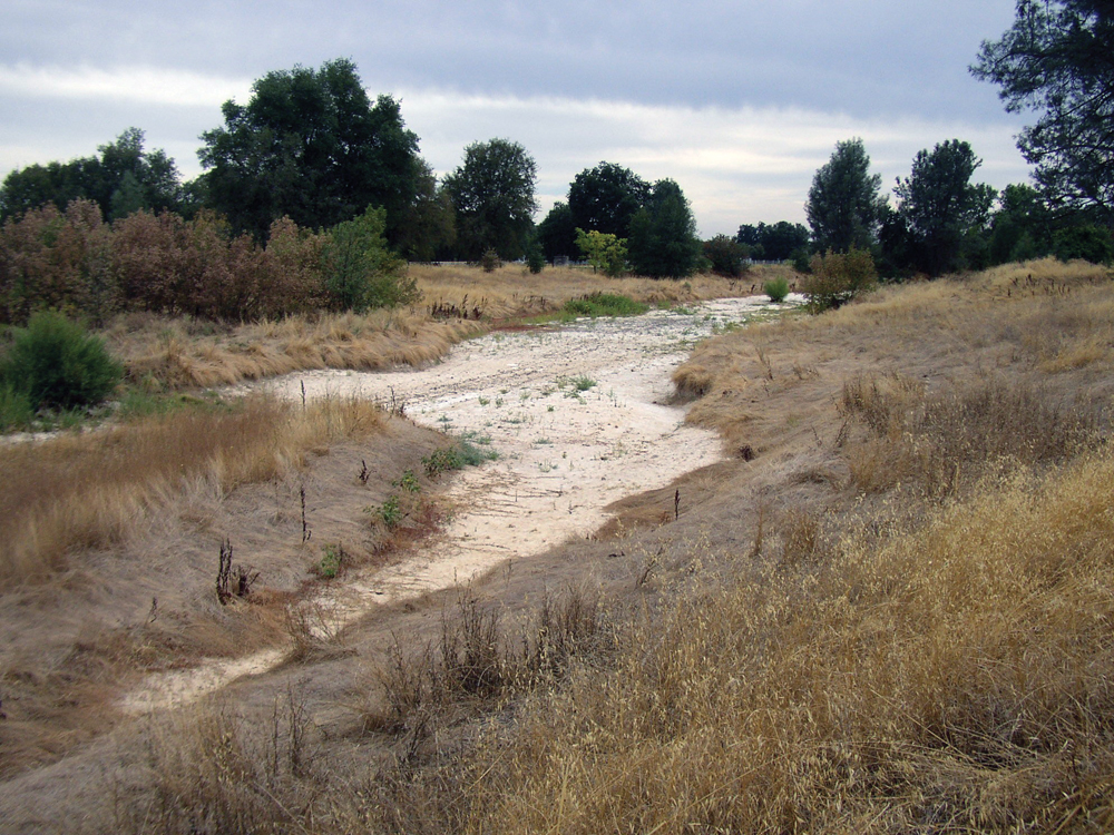
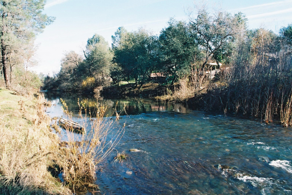
Both Churn and Stillwater Creeks are classified as rainfall-driven, intermittent streams that are typically low-flow (sometimes dry) from late spring through fall. There is a high degree of seasonal variability in surface flow with rapid response to storm events. This situation is exacerbated by the increasing amount of impermeable surface in the watershed that is now estimated to be about 30% (roads, residential and commercial areas, etc.). There are currently no gaging stations operating in the watershed, but the 10-year peak flow for these two streams has been estimated at about 7,000 cfs. This watershed area is within the Redding Groundwater Basin, which has an approximate storage capacity of 5.5 million acre-feet. Groundwater is used for municipal, industrial, and agricultural purposes. Studies have shown no increasing or decreasing trends in groundwater levels.
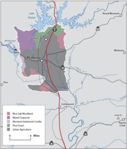
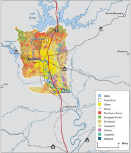
Vegetation
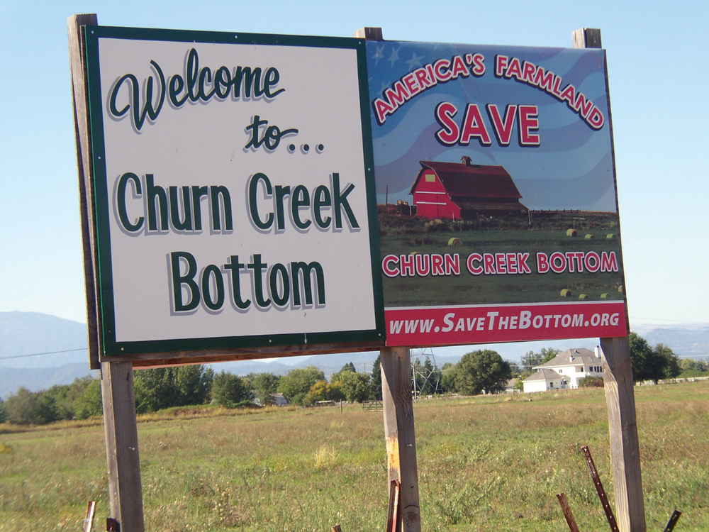
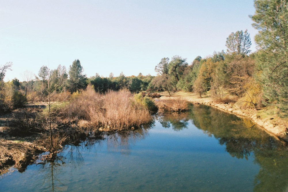
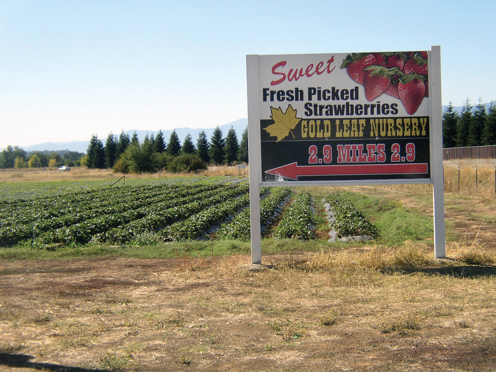
In the rural portion of this watershed area, dominant vegetative habitat is blue oak woodland with a mixture of annual grassland, chaparral, and Digger pine and other conifer species. Seasonal emergent wetlands are scattered throughout the watershed, as are small reservoirs, farm ponds, and marsh areas. Urban habitat (urban, commercial, suburban, and residential) makes up about 17% of the watershed area. Lower Churn Creek (known as the Churn Creek Bottom) includes significant acreage of agricultural land (pasture and orchard crops) that is irrigated by Sacramento River water delivered by the Anderson-Cottonwood Irrigation District. Control of invasive plant species like giant reed (Arundo donax) has become a significant management issue.
Fish and Wildlife
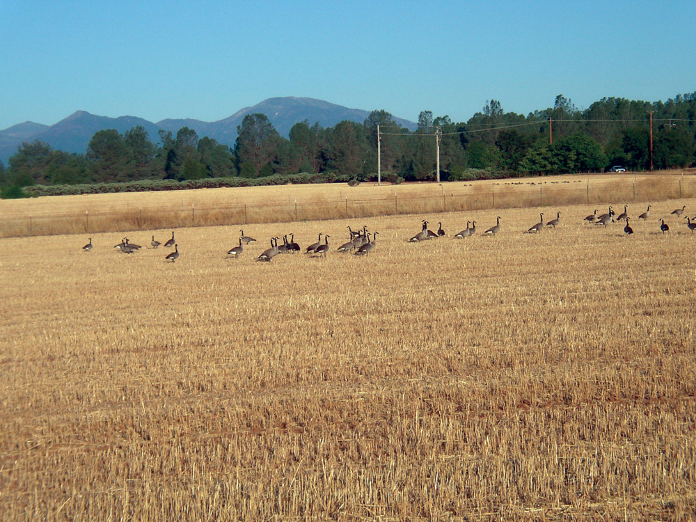
In Stillwater and Churn Creeks, warmwater species such as sunfish and catfish are common along with native species like California roach, hardhead, and pikeminnow. There is increasing evidence that these intermittent tributaries provide important rearing habitat for juvenile Chinook salmon that migrate out of the Sacramento River. In good water years, adult fall-run salmon have been observed spawning in the upper reaches of Stillwater Creek, and agencies are looking at the potential for improving anadromous fish runs in these tributaries.
The continued presence of undeveloped land and habitat connectivity is an important factor for the maintenance of wildlife populations in this watershed. There are numerous special-status species, including vernal pool shrimp, Shasta salamander, and foothill yellow-legged frog.
Life in the Watershed
Population in this watershed area has been steadily on the rise despite the slowdown in recent years. From 1960 to 2000, Shasta County’s overall population nearly tripled. Ninety-six percent of the land in the watershed is privately owned, and 4% is administered by three federal agencies (BLM, USFS, and USBR). City and county general plans have zoned nearly 65% of the watershed for urban and suburban residential use, 12% for commercial/industrial, 10% for parks and open space, and 13% for mining and agriculture. In the rural portion of the watershed, hunting, fishing, equestrian and ORV use are popular recreational activities. The success and popularity of Redding’s Sacramento River trails system, the Clover Creek Preserve, and the McConnell Foundation’s Lema Ranch have increased the public’s interest in expanding opportunities for local water-oriented recreation and open space.
Management Objectives
Under the direction of the Western Shasta RCD, the Stillwater-Churn Creek Watershed Assessment was completed in February 2007. This was followed by the Stillwater-Churn Creek Watershed Action Plan in July 2008. Principal management objectives resulting from the assessment and addressed in the action plan include:
- eradicate noxious and invasive plant species such as giant reed, yellow star-thistle, tree of heaven, and Scotch broom;
- improve natural stream and floodplain function to enhance wildlife habitat and reduce property damage from erosion and flooding;
- support Shasta County Fire Safe Council policy and projects to reduce catastrophic wildfire threat;
- protect important habitats such as riparian areas, vernal pools, and oak woodlands from growth and development impacts;
- control trespass ORV use and dumping of garbage and other litter; and
- promote watershed management education and encourage the City of Redding and Shasta County to incorporate the Ahwahnee Water Principles into their general plans.
Organizations Active in the Watershed
Stillwater-Churn Creek Watershed Alliance and Western Shasta RCD
Stillwater-Churn Creek Watershed Alliance is an informal, collaborative partnership with a mission statement to conserve, enhance, and sustain watershed resources and encourage responsible planning through education and cooperation. The Western Shasta RCD has provided administrative assistance and staffing to the Alliance. A Technical Advisory Committee has been formed and principal participants include DFG, USFWS, Central Valley RWQCB, City of Redding, Shasta County, and individual private landowners.