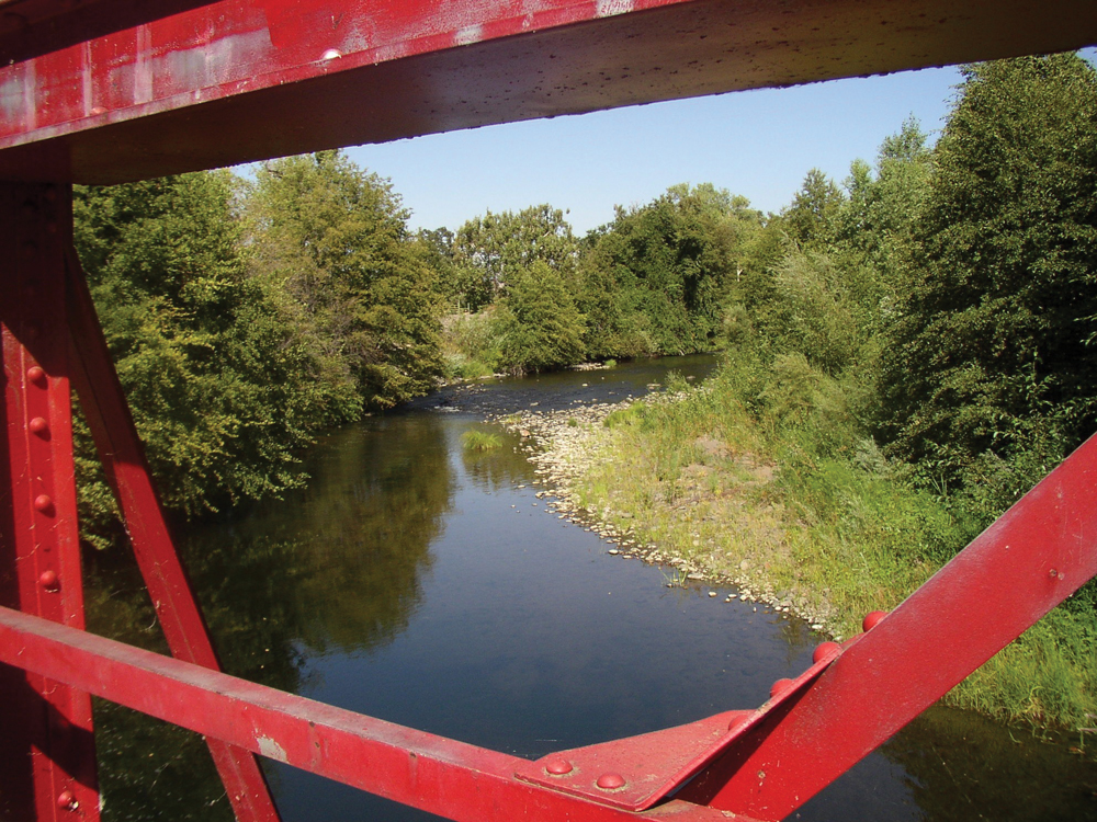
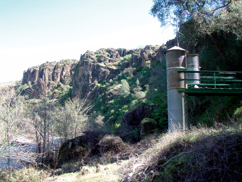
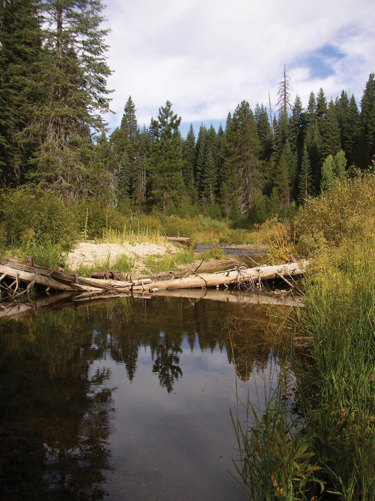
Deer Creek in lower canyon area
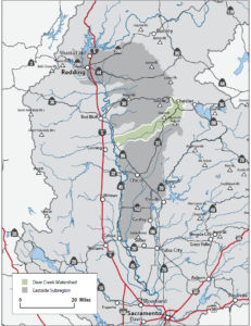
The Watershed at a Glance
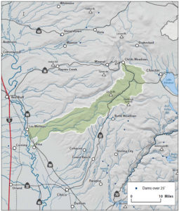
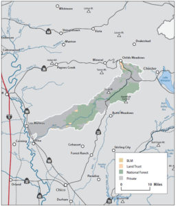
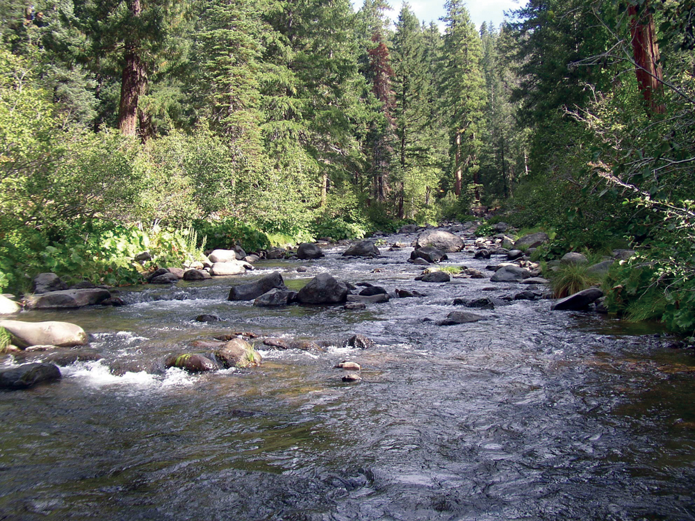
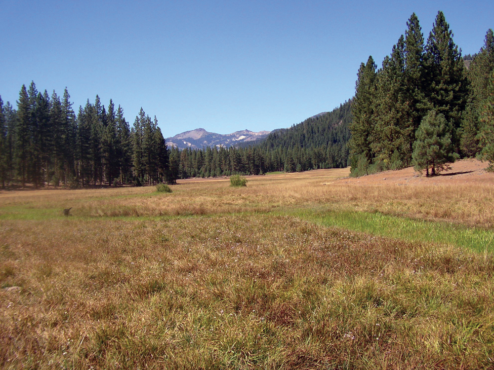
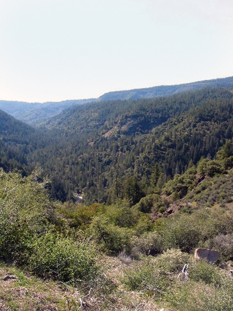
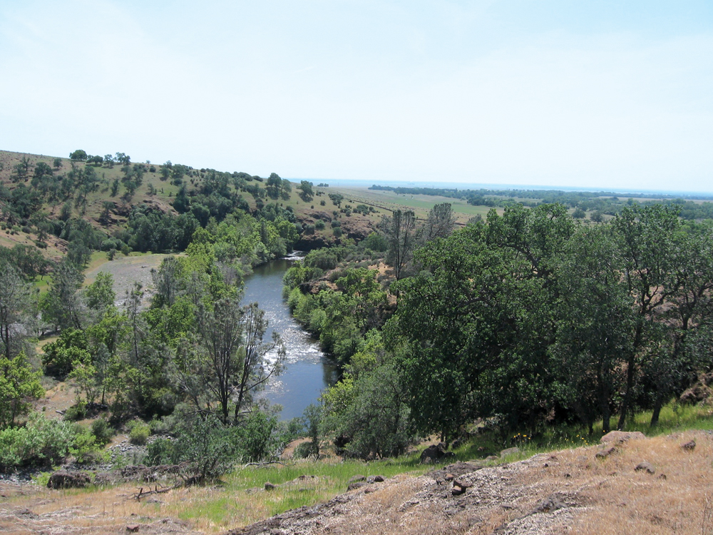
The Deer Creek Watershed drains in a southwesterly direction from its mountainous headwaters in eastern Tehama County to its confluence with the Sacramento River near the town of Vina. As is common with neighboring watersheds, the upper watershed is flatter with significant alluvial valleys, connected to lowland agricultural lands via a steep and deeply incised middle section. Timber production, cattle ranching, and orchards are the dominant agricultural land uses. Except for three small diversions, the watershed is undammed and provides critical habitat for salmon and steelhead, in particular spring-run Chinook salmon. Land ownership is divided equally between public (upper watershed) and private (middle and lower watersheds).
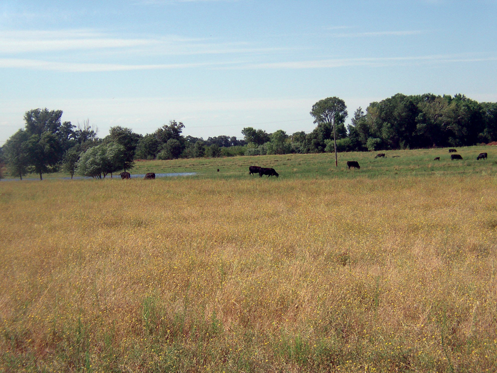
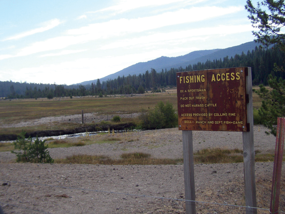
The Lassen National Forest is popular for fishing, hunting, hiking, and camping. The upper watershed also has large acreage of private commercial timberland; mid- and lower-elevation lands are dominated by large working ranches. On the valley floor near the Sacramento River, irrigated agricultural land is mostly in pasture and orchard crops. There are no population centers other than the small town of Vina near where Deer Creek enters the Sacramento River.
Hydrology
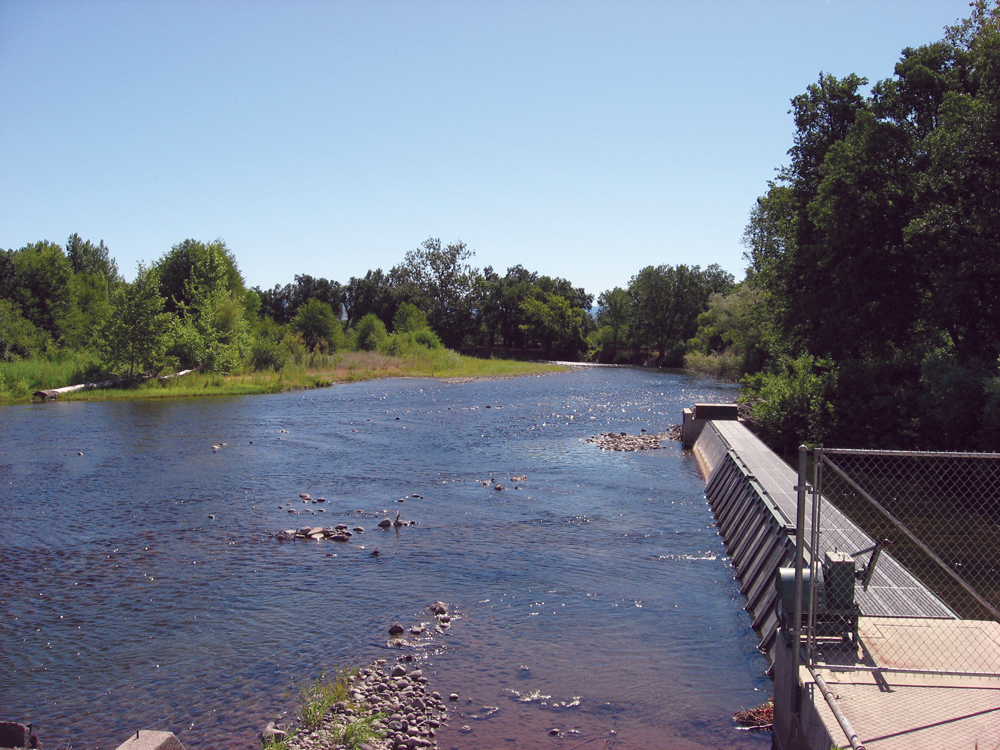
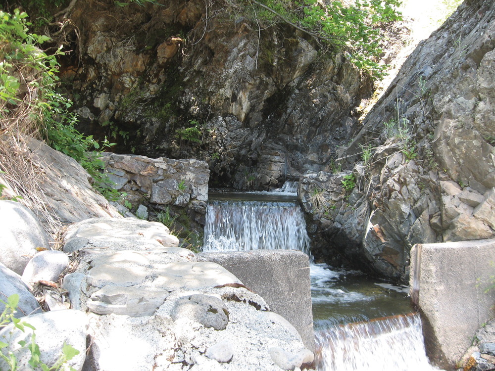
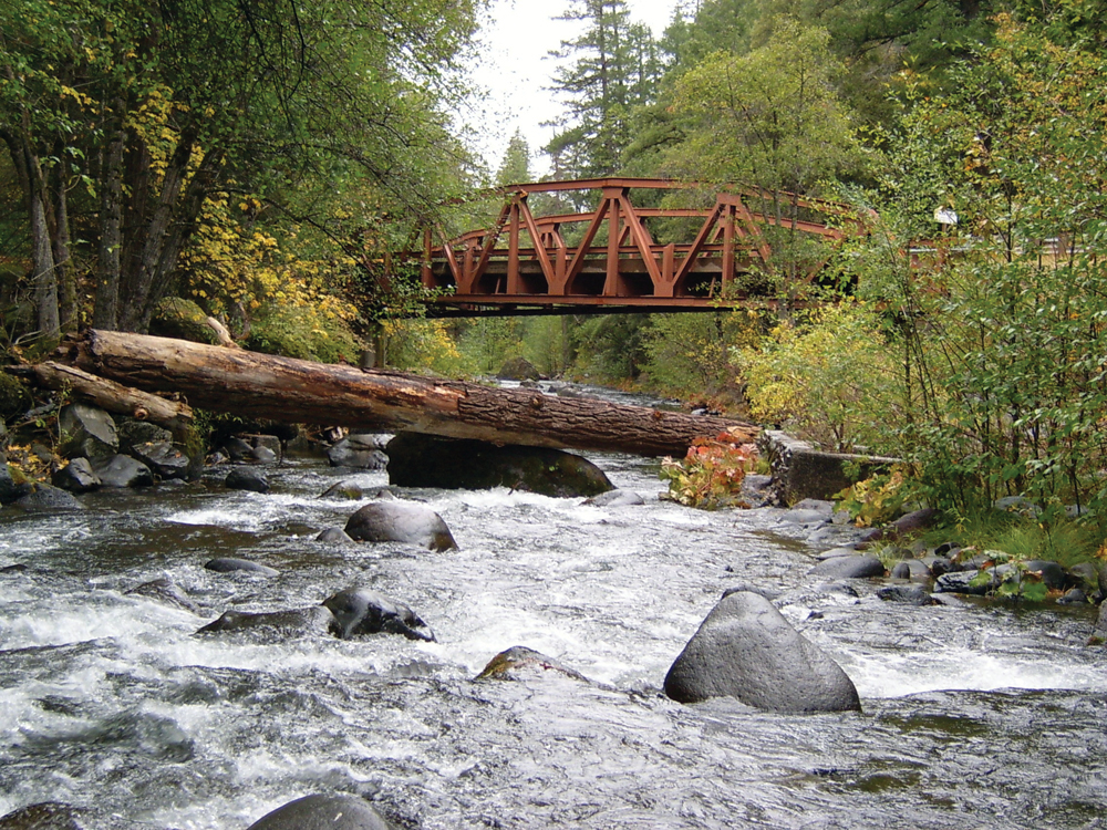
From 1911 to the present, USGS has operated a stream flow gage at a location 9 miles upstream of the Sacramento River confluence. There are no large storage reservoirs or diversions above this gaging site, so it represents full, unimpaired flow of Deer Creek. Annual mean flow for the period of record is 318 cfs. The record instantaneous peak flow is 23,800 cfs in December 1937. Dry season minimum flows are typically in the range of 50 cfs. In the mid-1940s, the U.S. Army Corps of Engineers constructed levees on both sides of the lower 7 miles of Deer Creek from near Vina to the Sacramento River. Since 1964, the levee system has been maintained by the Tehama County Flood Control and Water Conservation District. Between 1964 and 2005, this reach of Deer Creek has experienced several episodes of flooding and property damage. There are three dams on Lower Deer Creek that divert water for irrigation agriculture (Stanford–Vina Ranch Diversion Dam, Cone-Kimball Diversion Dam, and the Deer Creek Irrigation District Diversion Dam). Significant groundwater reserves exist in the lower watershed, and many farms pump groundwater during times of drought and low stream flow.
Water Quality
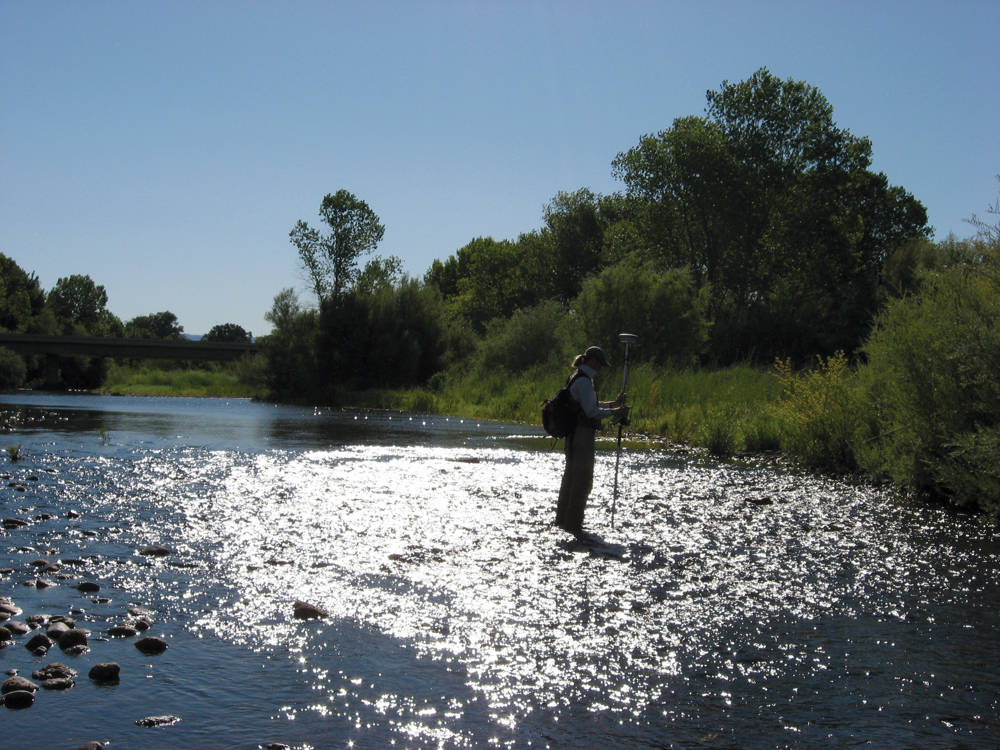
Since 1988, DWR has conducted quarterly monitoring of water quality at the Highway 99 bridge in lower Deer Creek. DWR also completed a more comprehensive 3-year water quality study in 1999. Temperature is the constituent of most concern in Deer Creek, and the USFS, DFG, and private timber companies continue to monitor temperature conditions at numerous locations in the watershed. In summary, water quality in Deer Creek is considered good with the exception of temperature conditions during times of low flow. Erosion in the upper watershed and its potential impact on aquatic habitat is another concern. State Highway 32 is a main transportation route that parallels Deer Creek through much of the upper watershed, and has caused concern over the possibility of a spill event that could have catastrophic results for the stream and aquatic life.
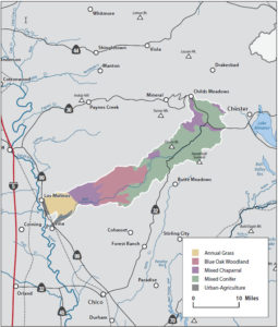
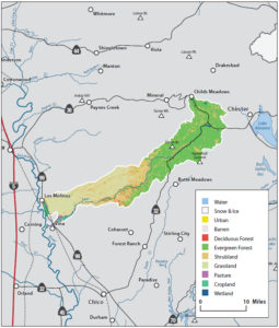
Vegetation
Dominant plant communities in the Deer Creek Watershed include:
- mixed conifer (pine and fir);
- hardwood (oak, alder, and cottonwood);
- chaparral;
- annual grassland;
- wet meadow, vernal pool, and riparian; and
- agriculture (irrigated pasture, row crops, orchards).
Vernal pools are particularly significant, and a large complex exists on Nature Conservancy Vina Plains Reserve. Maintaining an abundant and diverse riparian community along Deer Creek is an important management issue. Giant reed (Arundo donax) has invaded reaches of Lower Deer Creek, prompting some efforts at eradication. In the forested lands of the upper watershed, fire suppression policies have resulted in a gradual buildup of ground-level fuels and increased risk of wildfire.
Fish and Wildlife
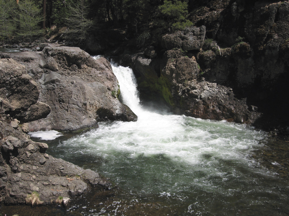
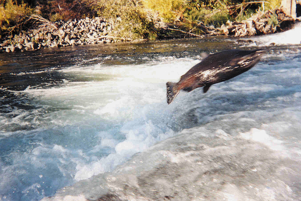
The watershed has exceptional features that make Deer Creek one of the more important streams in the Sacramento Valley for anadromous fish. Species with consistent runs up Deer Creek include spring-run Chinook salmon, fall-run Chinook salmon, steelhead, and Pacific lamprey. The attributes of a steady supply of cold, clean water, no major storage dam, and the large acreage of private land make this watershed a high priority in the effort to restore populations of steelhead and spring-run salmon. Historically, spring-run populations in Deer Creek averaged around 2,800 fish, but numbers began to decline in the 1980s. In recent years runs have been variable from year to year but overall have averaged in the low hundreds. In elevations above 1,000 feet, resident rainbow trout are common in Deer Creek and its many tributaries. At lower elevations near the valley floor, native and nonnative species such as hardhead, pikeminnow, and bass are dominant.
The total size and diversity of habitats in the watershed provide exceptional wildlife value. A continuous complex of riparian habitat is an important component, as are vernal pools. These seasonal pools located in the lower watershed are habitat for several federally-listed invertebrate species (tadpole shrimp, fairy shrimp, and California linderiella). Black-tail deer in this watershed are part of the large Tehama East herd that at one time numbered 100,000. As in other parts of northern California, deer numbers are in decline largely because of changes in forest habitat and forage conditions. Exotic species known to occur include feral pigs, brown-headed cowbirds, and bullfrogs.
Life In The Watershed
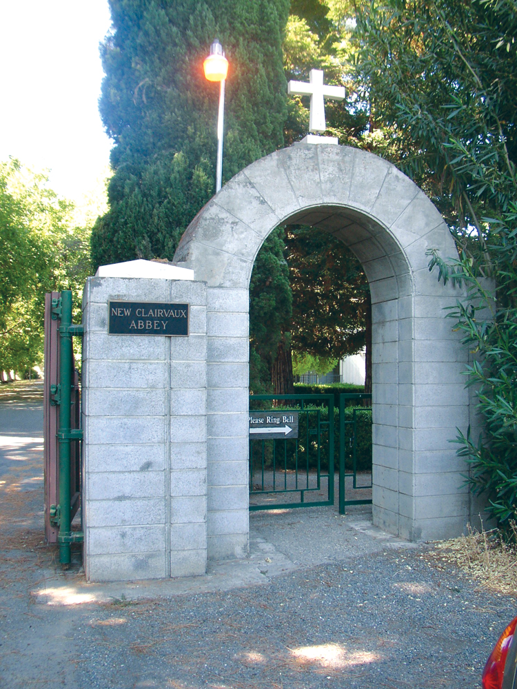
Land in the Deer Creek Watershed is a mix of public (USFS) and private ownership. The 65,000 acres of Lassen National Forest in the upper watershed are popular for hunting, fishing, and hiking, and several public campgrounds are located along Deer Creek. The upper watershed also has large acreage of private commercial timberland; mid- and lower-elevation lands are dominated by large private ranches. On the valley floor near the Sacramento River, irrigated agricultural land is mostly in pasture and orchard crops. The main transportation routes are state Highways 36 and 32 through the upper watershed area and Highway 99, which crosses the lower watershed between Red Bluff and Chico. There are no population centers other than the small town of Vina near where Deer Creek enters the Sacramento River. The Cistercian Monastery Abbey of New Clairvaux is located in Vina.
Management Objectives
In 1998, DCWC together with a Watershed Action Committee composed of federal, state, and county government agencies, conservation organizations, and local residents, completed the development of a Watershed Management Plan (Plan) for Deer Creek. The Plan consists of both a description of existing conditions of the watershed and a comprehensive Watershed Management Strategy (Strategy) that outlines implementation measures to meet private concerns and fulfill the public’s objectives. The Plan and Strategy reflect the diversity of interests and natural resources in the watershed. The Strategy reflects community based watershed objectives that promote and sustain; healthy fish and wildlife populations, clean and reliable water, agricultural based land use, reduced flood damage, responsible land stewardship, and private property rights. Program objectives are as follows:
- Maintain in-stream conditions for unimpaired fish passage for Chinook salmon and steelhead in Deer Creek;
- Maintain the high water quality of Deer Creek;
- Enhance and maintain anadromous fish spawning, rearing, and holding habitat in Deer Creek;
- Promote the enhancement of aquatic habitat and stream bank vegetation in Deer Creek;
- Manage rangeland for multiple resources and enhancement, including forage for livestock, wildlife and propagation of oak woodlands and manage forestlands for resource production and enhancement including timber, wildlife, and watershed condition;
- Maintain the low-density agriculturally based land uses within the watershed;
- Support private property rights and responsible recreational uses with the watershed;
- Promote responsible land stewardship through education and outreach efforts; and
- Continue DCWC’s role in the on-going management of the Deer Creek Watershed.
A list of recommended actions is included for achieving each of these management objectives. The recommendations in the Strategy emphasize preventative rather than reactive management actions and include advisory notes.
Management Organizations Active in the Watershed
Deer Creek Watershed Conservancy (DCWC)
DCWC is a non-profit organization made up entirely of landowners who own land within the Deer Creek Watershed. DCWC formed as a nonprofit organization in response to the 1994 proposal to include Deer Creek in the State Wild and Scenic Rivers Act. Landowners in the watershed felt that a wild and scenic designation on Deer Creek was an unnecessary substitute for responsible landowner stewardship. DCWC took the lead in developing a Watershed Management Plan, formed a multi-stakeholder Watershed Action Committee, and secured technical and financial support for several watershed-improvement projects. DCWC joined together with resource managers to protect the unique ecological values associated with the Deer Creek Watershed. DCWC focuses its attention on conserving the natural resources of Deer Creek through sensitive stewardship practices. DCWC also serves as a forum for communication and group action within the Deer Creek Watershed.
Priority projects and activities completed in subsequent years by DCWC include the development of a Flood Management Plan to improve aquatic and terrestrial habitat while developing feasible solutions to the flooding problem on Lower Deer Creek; various outreach and education programs to promote and facilitate land conservation and watershed stewardship; studies and surveys to improve fish passage; comprehensive water quality monitoring programs; a wild cattle removal program to reduce erosion in the upper watershed; and forest road improvements to reduce erosion and sediment discharge, meadow restoration, and bank stabilization on the north forks of Deer Creek and on the lower mainstem.