Lower Butte Creek
The Watershed at a Glance
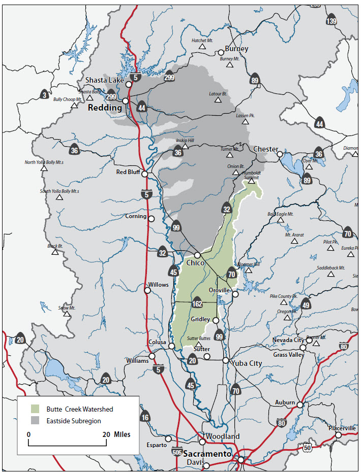
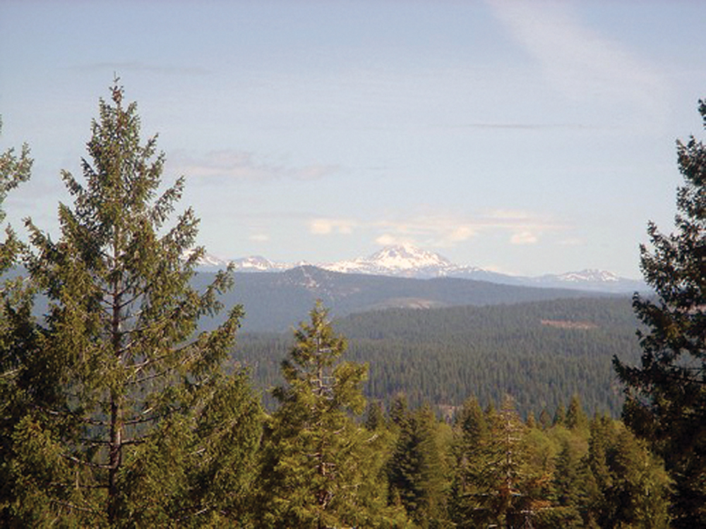
The Butte Creek Watershed originates in the Butte Meadows/Jonesville Basin region, at an elevation of approximately 7,000 feet. Primarily within Butte County, the upper watershed also reaches into a small portion of Tehama County, and the lower portion extends into Sutter, Colusa, and Glenn Counties. The hydrology of the upper watershed has been modified significantly by multiple diversions for hydroelectric power generation, while the lower watershed is managed primarily for irrigation water supply and flood control.
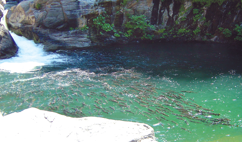
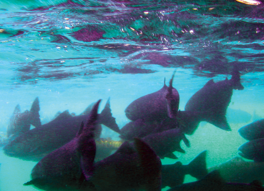
The Butte Creek Watershed provides valuable habitat for the largest run of wild springrun Chinook salmon, listed as threatened under the California and federal Endangered Species Acts. However, the long-term trend of returning adult numbers has shown an overall significant decline in past year.
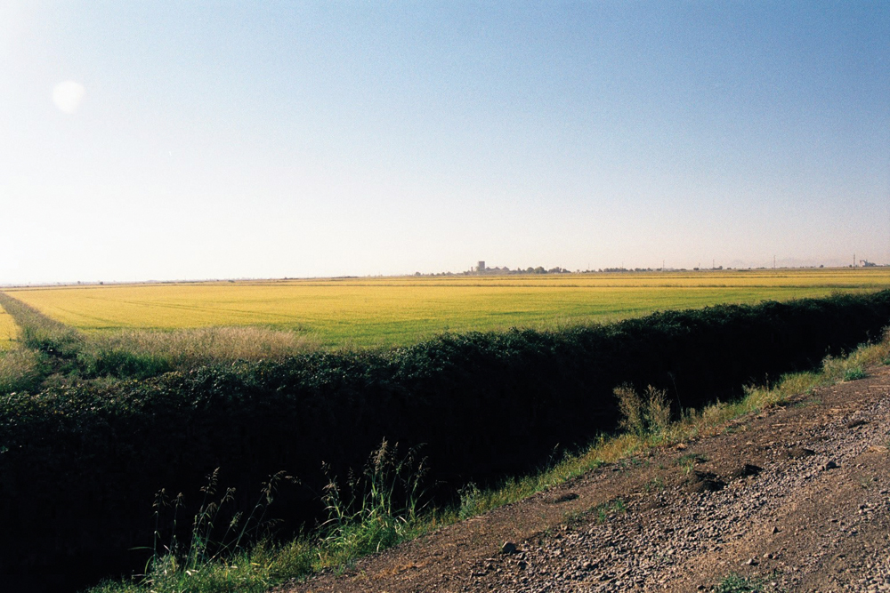
Land use is dominated by agriculture in the lower portions (largely rice production, orchards, and row crops), with timber and grazing predominant in the upper watershed. The largest population center is the city of Chico, with several smaller communities such as Biggs, Gridley, Paradise, and Durham.
Hydrology
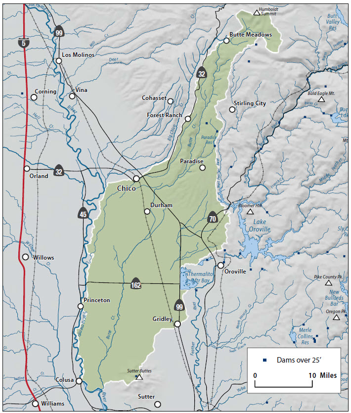
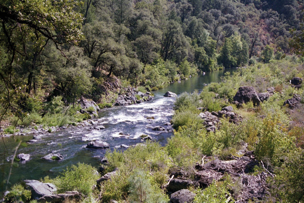
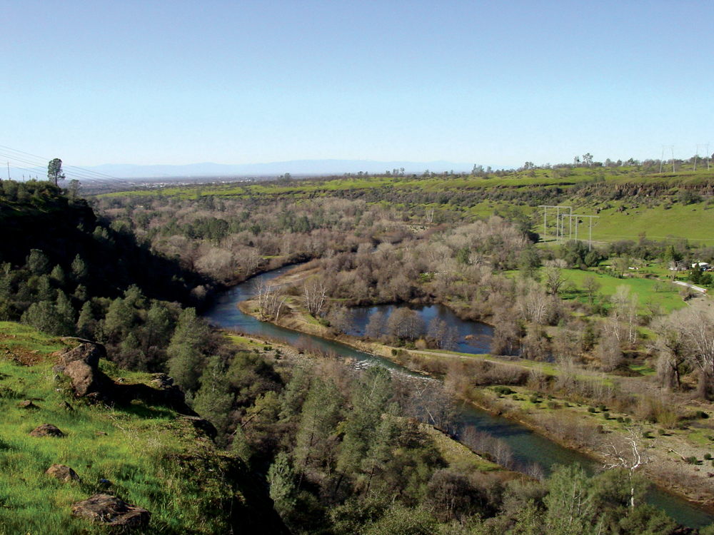
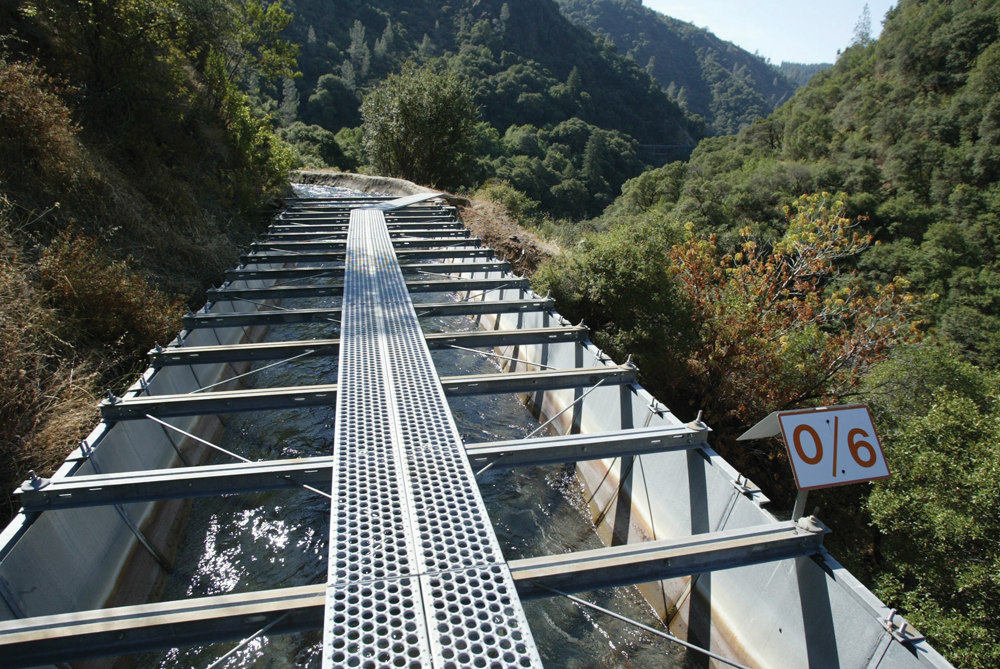
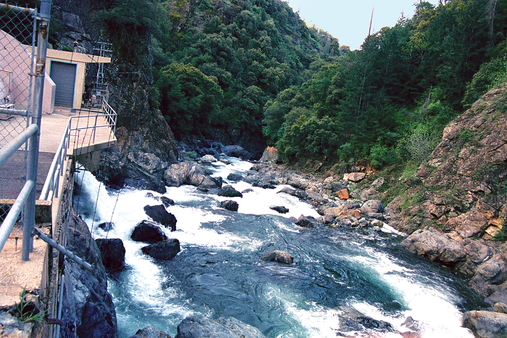
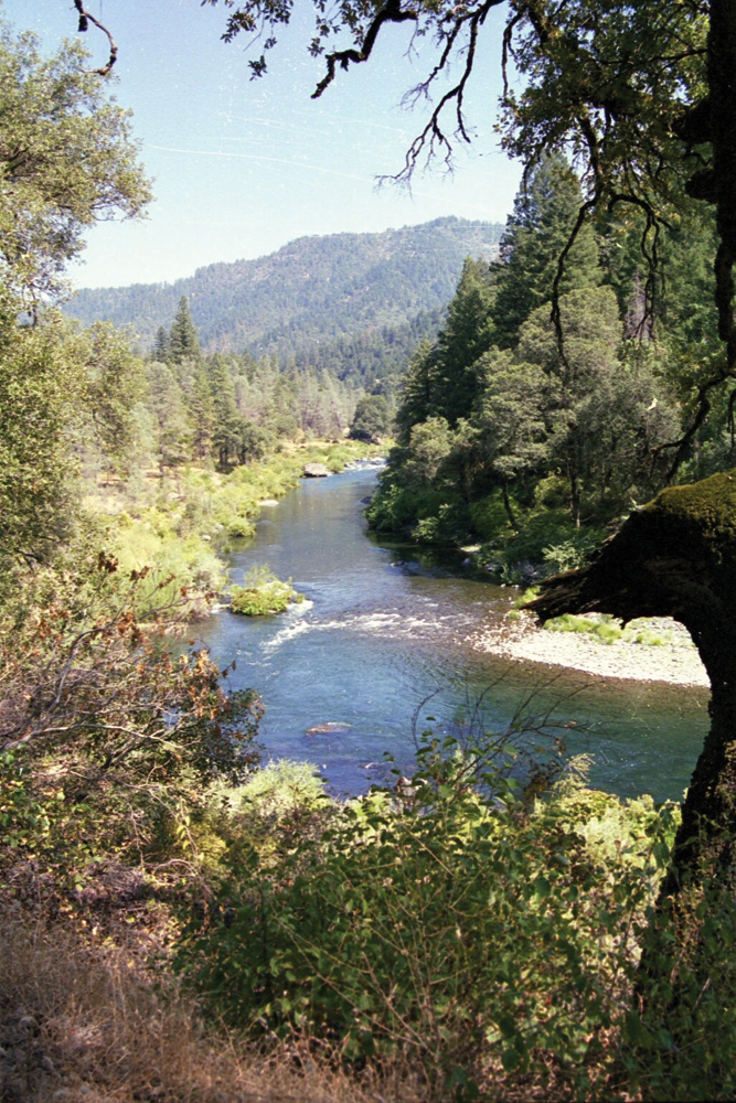
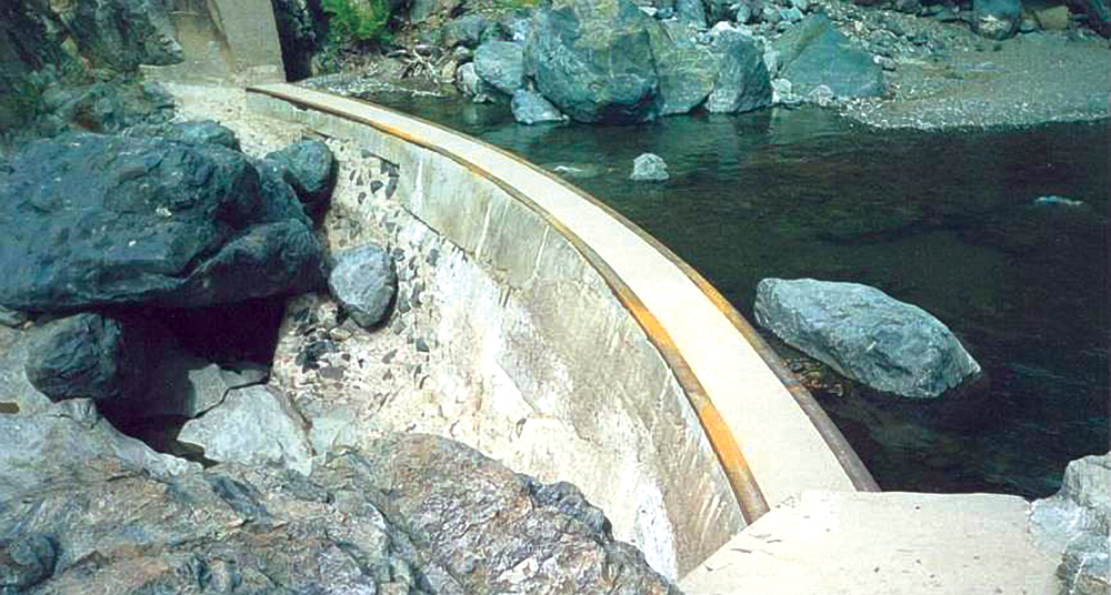
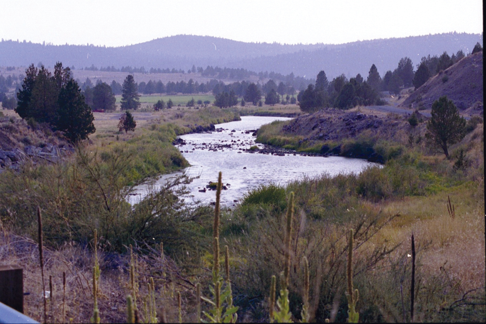
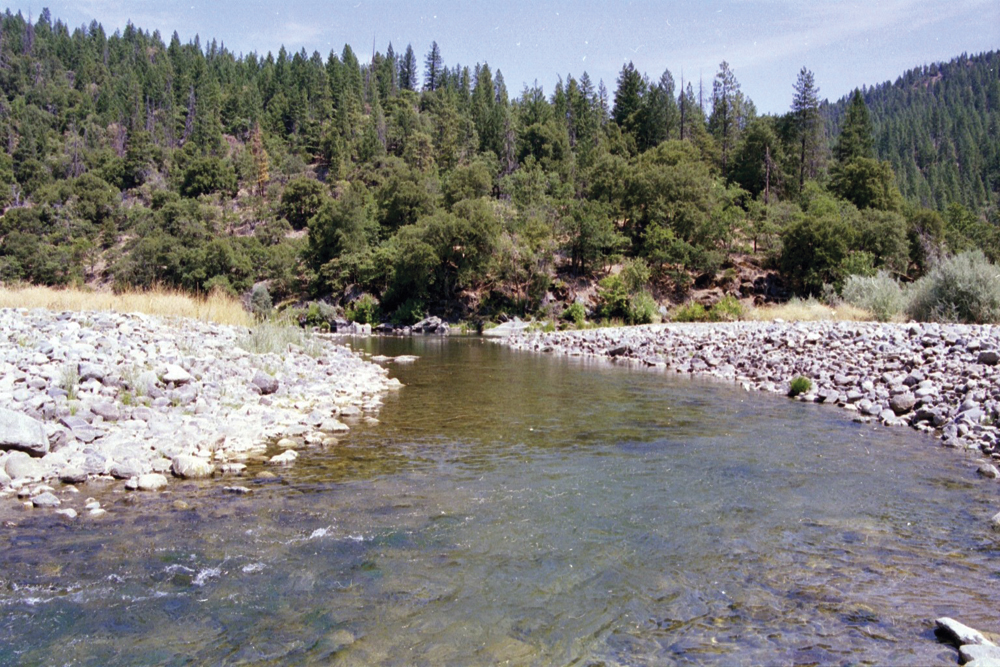
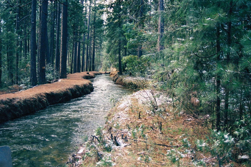
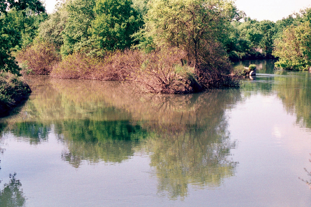
The hydrology of Butte Creek consists of many smaller tributary streams converging in the Butte Meadows area, transitioning into the main channel and traversing approximately 25 miles through a steep canyon reach before entering the valley near Chico. Several tributaries drain the Paradise Ridge and enter Butte Creek near the Honey Run Covered Bridge in the lower canyon with others converging in the valley section. Several diversions and dams maintained for hydropower generation exist within the canyon reach.
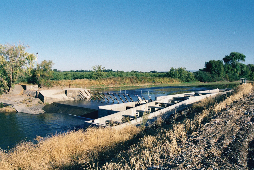
Lower Butte Creek transitions into an even more complex system of water supply diversions, canals, agricultural drains, levees, and bypasses. Interestingly, this lower reach of Butte Creek surrounds the smallest mountain range in the United States, the Sutter Buttes, at a maximum elevation of just over 2,100 feet above sea level. At the Butte Slough Outfall gates near Colusa, Butte Creek flow can be either directed into the Sacramento River, or regulated to accommodate agricultural demands, floodflows and water supply to several state and federal wildlife refuges via the Sutter Bypass and Sacramento and Butte Slough areas. Under normal flow situations, Butte Creek enters the Sacramento River near the mouth of the Feather River at Verona.
Flooding, particularly in the lower portion of the watershed, continues to be an issue of concern. In 2001, the Butte Creek Watershed Conservancy obtained a state grant to investigate and document flood concerns and produce a Management Strategy that was completed in 2004.
Water Quality
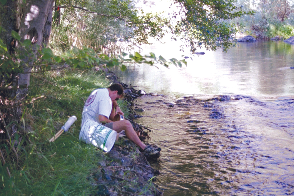
DWR has been monitoring water quality in Butte Creek at various locations for many years. Comprehensive nutrient, mineral, minor element, and water temperature data, along with limited benthic macroinvertebrate data, exist. These data can be found online via DWR’s Water Data Library. PG&E, timber owners, and others have also conducted monitoring (primarily water temperature and sediment) at various times and frequencies.
The overall water quality of Butte Creek is considered to be good to excellent, especially in the upper watershed. Seasonal variability can occur related to weather patterns and reduced flow resulting from water diversions and other management activities. Increased water temperature is a definite concern, as it negatively impacts the anadromous fish passage and survival. Sediment from surface erosion (roads, logging operations, etc.) is also a concern for the same reasons. Elevated bacteria levels downstream of populated areas from livestock grazing and natural sources can also occur on a sporadic basis.
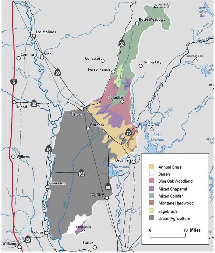
Vegetation
Dominant plant communities in the Butte Creek Basin include the following:
- mixed conifer,
- Montane hardwoods,
- Oak woodland,
- chaparral,
- annual grassland,
- wet meadow, vernal pool, and riparian; and
- agriculture (rice, irrigated pasture, row crops, orchards).
Fish and Wildlife
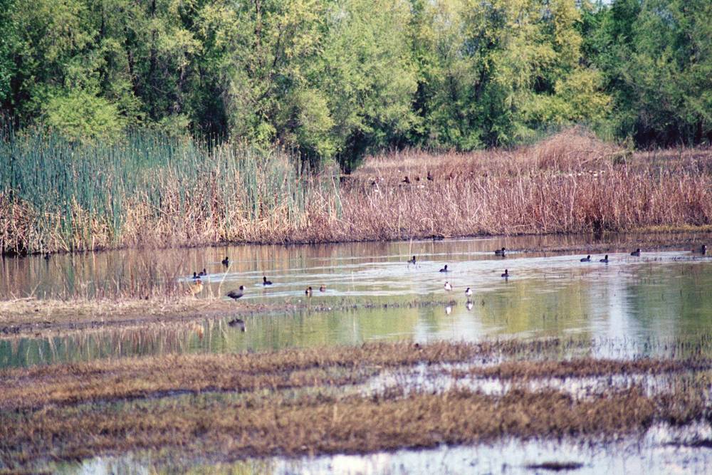
The watershed has historically had some exceptional features that made Butte Creek one of the most important streams in the Sacramento Valley for fish, particularly spring-run Chinook. A natural barrier below the Centerville Powerhouse head dam limits most upstream access beyond this point. Population estimates in the mid-1950s to mid-1960s were generally less than 6,000. Beginning in 1966, the population crashed to less than 100 spawning individuals and ranged up to approximately 1,000 fish for the next 30 years. In 1995 the run was estimated at 7,500 fish, but the numbers fell off again dramatically the next year. In 1998 more than 20,000 salmon returned and in 2001, an estimated 18,000 spring-run Chinook salmon spawned in Butte Creek, with 2002, 2005, and 2008 also having good numbers. However, estimated 2009 figures are far lower at under 1,000 individuals. Steelhead trout populations fluctuate annually as well. Several other important native fish species including Pacific Lamprey and Sacramento Pikeminnow, plus numerous non-native species are also present in Butte Creek.
Butte Creek Watershed also contains important vernal pool habitat for listed plant and invertebrate species, and riparian areas provide habitat for important avian and other wildlife species. Loss of riparian habitat is of particular concern, as it provides multiple benefits to both the aquatic and terrestrial communities. The oak woodlands support numerous species, including portions of the large Tehama Deer Herd, that make these areas their home, either permanently or while passing through. Impacts from a variety of invasive non-native plant and wildlife species have been significant and continue to threaten the native populations.

Life in the Watershed
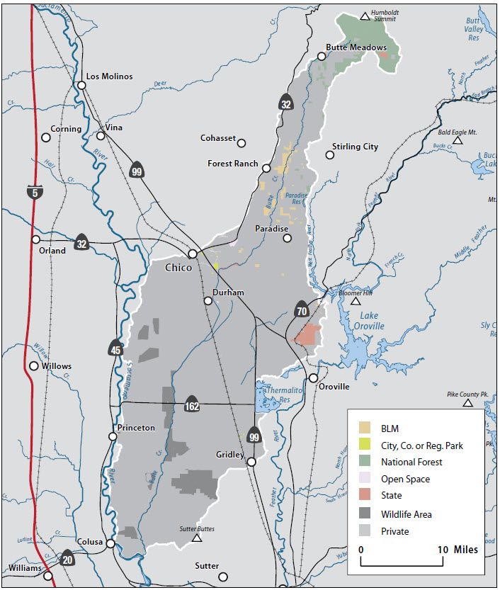
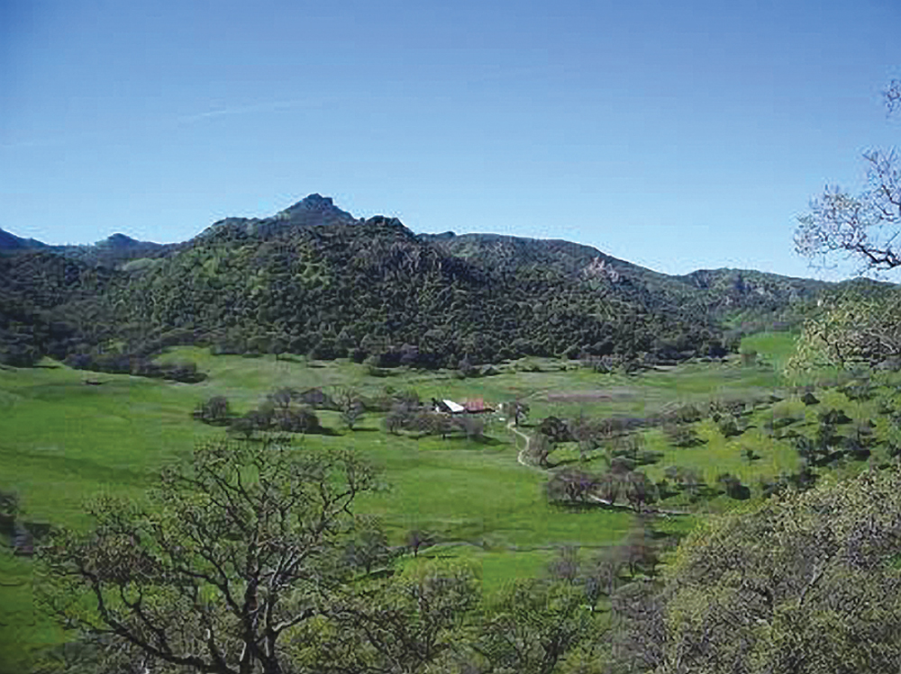
Much of the Upper Butte Creek Watershed is forest land, owned in large part by private timber companies and the Lassen National Forest. The Butte Meadows area is a popular multi-season recreation destination. Considerable portions of the canyon reach are rugged and privately owned, making overland access difficult. Once the creek exits the canyon, much of the land is held in large agricultural parcels.
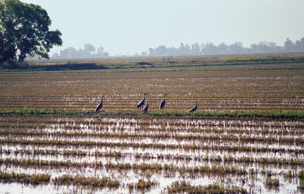
Agriculture is very important in the watershed, particularly in the lower portion, with rice production as the dominant crop. Significant acreage is also dedicated to cattle grazing, orchards (almonds, walnuts, prunes, etc.), and row crops. Timber production and recreation are the primary activities in the upper watershed. Fishing, hunting, cycling, hiking, skiing, water sports, nature study, and many other diverse recreational opportunities abound in the watershed, on both public and private lands. Of particular note are the large numbers of waterfowl hunting clubs in the lower watershed, associated with rice fields and wildlife areas managed by private and government entities. This area is an important stop on the Pacific Flyway for migratory waterfowl.
The city of Chico, with an estimated population of 88,000 is the largest urban center in the watershed. This diverse community is the home to California State University, Chico, with a student population of some 17,000. The University greatly influences the character of the city and provides many diverse benefits to the community and watershed.
Management Objectives
The Butte Creek Watershed Management Strategy was developed in 2000, by the Butte Creek Watershed Conservancy together with a Watershed Action Committee and Technical Advisory Committee composed of federal, state, and county government agencies; conservation organizations; and local residents. Following are the management objectives set forth in that document:
- accommodate future growth and increased recreational pressures in the watershed without adversely impacting natural resource values;
- protect and enhance spring-run Chinook salmon populations to avoid further watershed-wide restrictions for multiple uses such as agriculture, timber management, recreation, urban development, and property rights;
- reduce forest fuel load to an acceptable level and minimize risk of catastrophic wildfire;
- address problems of road design, construction, and maintenance to reduce erosion and road washouts that cause damage in the watershed;
- identify and protect significant groundwater recharge areas;
- protect the quantity and quality of domestic water supplies;
- implement management practices to control pollution from urban runoff;
- adapt floodplain infrastructure to be compatible with natural and unavoidable flooding; and
- educate the public on the need for management practices to address the issues above.
A list of recommended actions to achieve each of these management objectives is included in the Watershed Management Strategy document.
Management Organizations Active in the Watershed
Friends of Butte Creek
The Friends of Butte Creek organization was formed in 1999, with a focus on advocacy for stronger environmental review, protection and enhancements to the watershed. The organization has taken an active role in the FERC relicensing process for several PG&E projects on Butte Creek, especially focusing on impacts on threatened salmon and steelhead species.
Friends of Butte Creek have taken an active role in the development of the Butte County and Chico General Plans for 2030. The Friends also function as the on-the-ground “creek watchers” reporting any disturbances that may affect the water, streambanks, or salmon habitat.
Butte Creek Watershed Conservancy
BCWC was formed in September 1995 with the mission to protect, restore, and enhance the cultural, economic, and ecological heritage of the Butte Creek Watershed through cooperative landowner action. The nonprofit organization has a voluntary and cooperative MOU with 24 partner signatories, intended to foster a collaborative watershed planning process. In 1996, BCWC prepared an Existing Conditions Report and subsequent Watershed Management Strategy in 2000. A Watershed Advisory Committee and a Technical Advisory Committee, both made up of representatives from landowners, state and federal agencies, local government, water suppliers, public/ private utilities, and others, were formed to assist the BCWC in developing these documents.
Butte County Resource Conservation District
The Butte County RCD leads landscape and open space management in the county through unique and influential partnerships. The RCD is governed by a Board of Directors appointed by the Butte County Board of Supervisors, and has been involved with the above organizations in watershed management planning since its inception. The RCD has obtained state funding to implement road rehabilitation and erosion control projects, invasive species removal, and water quality monitoring in the upper watershed.